The best road cycling routes in Cotacachi
4.5
(4)
98
riders
6
rides
Road cycling in Cotacachi offers diverse landscapes and challenging routes within Ecuador's Imbabura province. The region is characterized by mountainous terrain, including the slopes of Volcán Imbabura and proximity to Cotacachi Volcano, providing significant elevation changes. Cyclists can experience rides through the Andean scenery, often encountering high-altitude lagoons like Cuicocha. The area's road networks wind through varied terrain, from rolling hills to dramatic volcanic backdrops.
Best road cycling routes in Cotacachi
- The most popular road cycling route is Highway to…
Last updated: July 11, 2026
4.5
(4)
63
riders
101km
05:40
1,980m
1,970m
Hard road ride. Very good fitness required. Mostly well-paved surfaces and easy to ride.
16
riders
58.8km
03:39
1,330m
1,330m
Hard road ride. Very good fitness required. Some segments of this route may be unpaved and difficult to ride.

Sign up for free
6
riders
25.9km
01:25
370m
370m
Moderate road ride. Good fitness required. Mostly well-paved surfaces and easy to ride.
5
riders
22.2km
01:13
350m
350m
Moderate road ride. Good fitness required. Mostly well-paved surfaces and easy to ride.
5
riders
72.8km
03:53
1,030m
1,030m
Hard road ride. Very good fitness required. Some segments of this route may be unpaved and difficult to ride.
Our route recommendations are based on thousands of hikes, rides, and runs completed by other people on komoot.
Start today with a free account
Your next adventure awaits.
Login or Signup
Popular around Cotacachi
Tips from the Community

lower sprockets and enjoy a very fun climb
0
0

The town of Otavalo is located at 2,532 meters above sea level. It offers many services and is perfect for a few days' break. Worth visiting is the Mercado Municipal 24 de Mayo which offers a wide choice of fresh local products and, above all, a food court in which to refresh yourself!
2
0
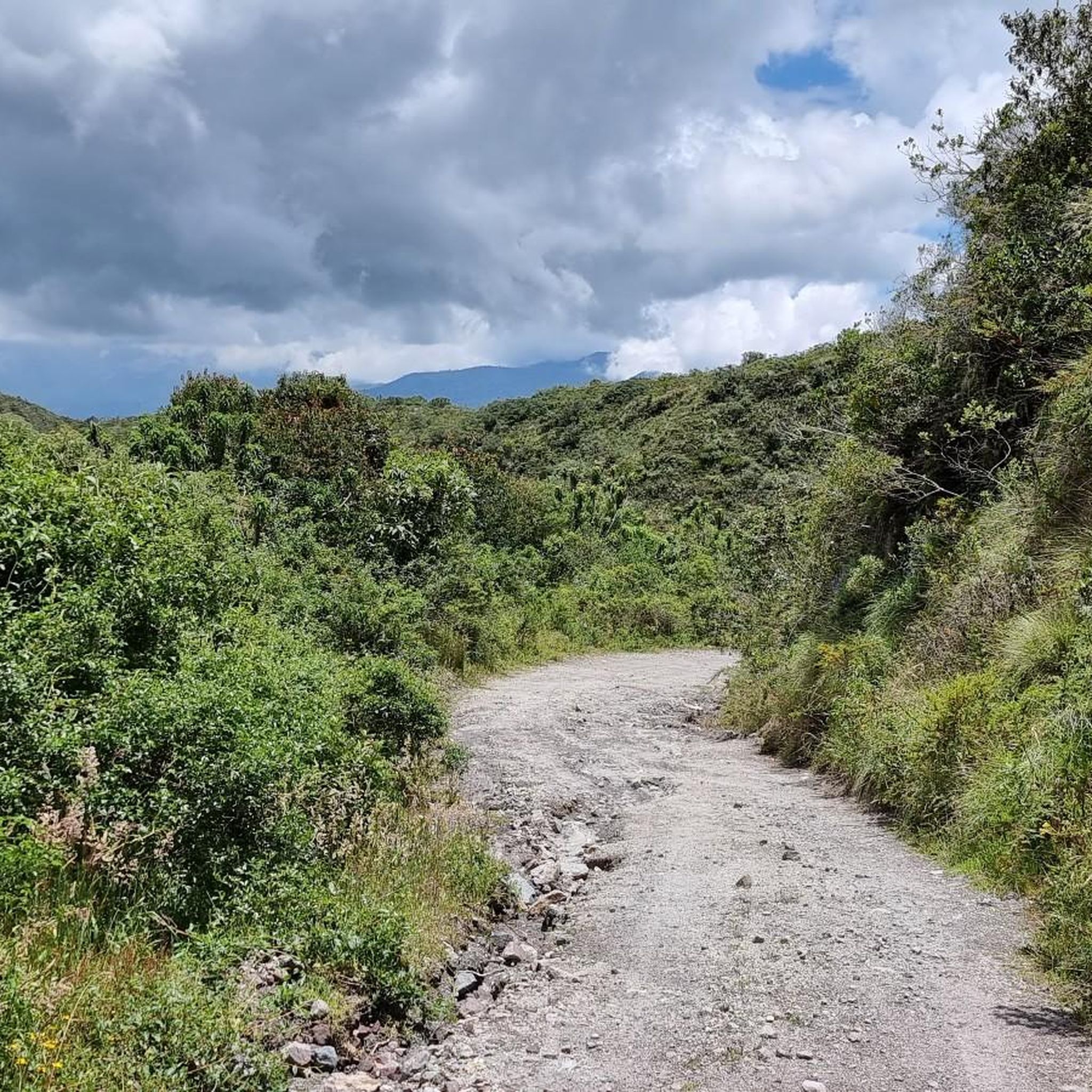
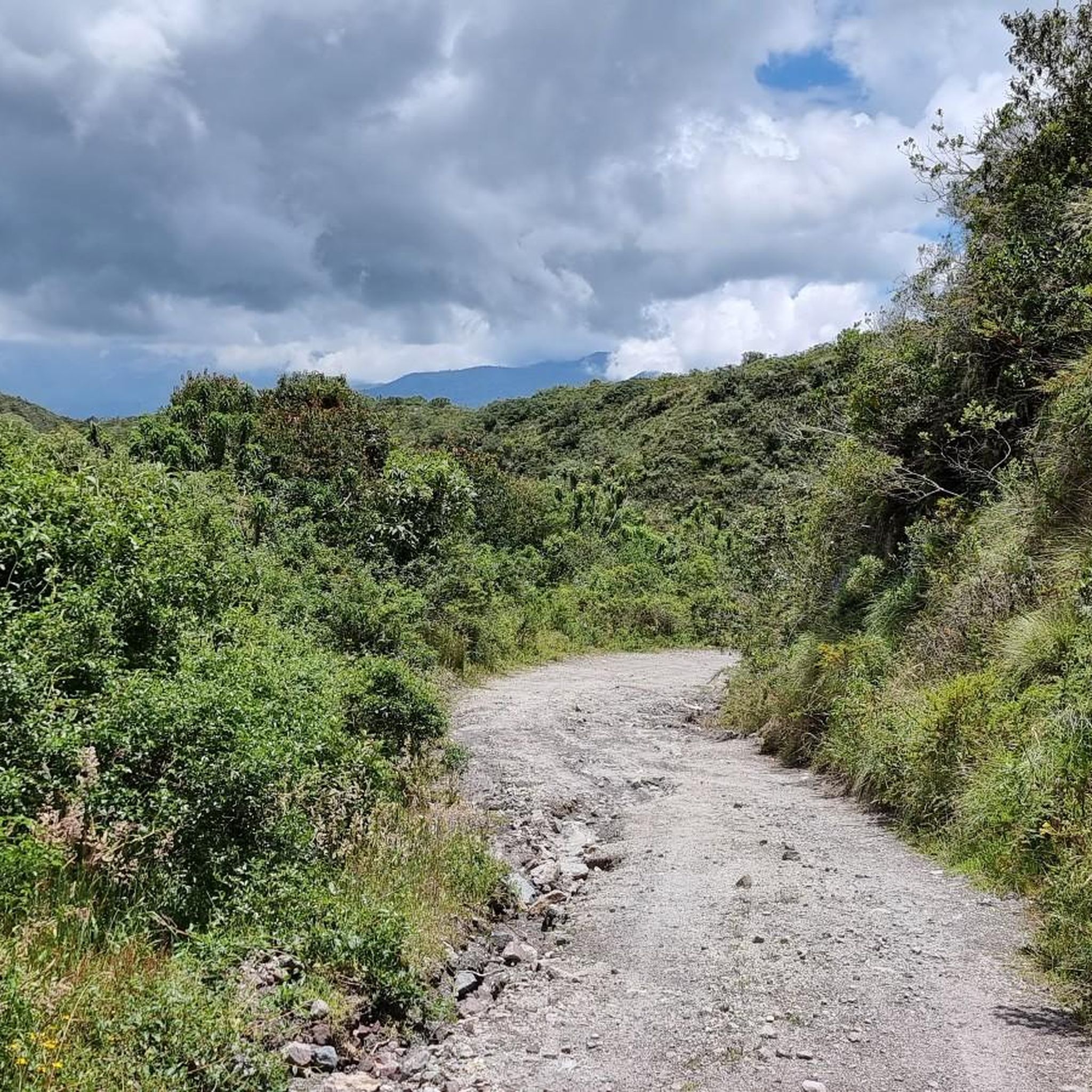
This stretch of asphalt road connects Conaqui with Imantag. The road is quiet and passes through cultivated fields and hills. A very picturesque panorama.
0
0

Frequently Asked Questions
What kind of terrain can I expect when road cycling in Cotacachi?
Cotacachi offers diverse and often challenging terrain for road cycling. You'll encounter mountainous landscapes, including the slopes of Volcán Imbabura and views of Cotacachi Volcano, providing significant elevation changes. Routes wind through Andean scenery, from rolling hills to dramatic volcanic backdrops, often leading to high-altitude lagoons like Cuicocha. The region's improved road networks make for an exhilarating ride.
Are there challenging road cycling routes in Cotacachi?
Yes, Cotacachi is known for its challenging road cycling routes with substantial elevation gains. For instance, the Highway to Ibarra and Alamor – Beautiful Views loop from Andrade Marín is a difficult 100.9 km (62.7 miles) route with over 1,960 meters of ascent. Another demanding option is the Highway to Ibarra and Alamor loop from Cotacachi, covering 58.8 km (36.5 miles) with over 1,330 meters of climbing.
Are there any easy or beginner-friendly road cycling routes?
While many routes in Cotacachi feature significant climbs, there are moderate options that can be suitable for less experienced riders or those looking for a less strenuous ride. The La Compañía loop from Otavalo is a moderate 25.9 km (16.1 miles) trail with about 370 meters of elevation gain, offering a pleasant ride through Andean hills. Another moderate choice is the Highway to Ibarra and Alamor loop from Cotacachi (a shorter version), which is 22.2 km (13.8 miles) with around 350 meters of ascent.
What natural features or landmarks can I see along road cycling routes in Cotacachi?
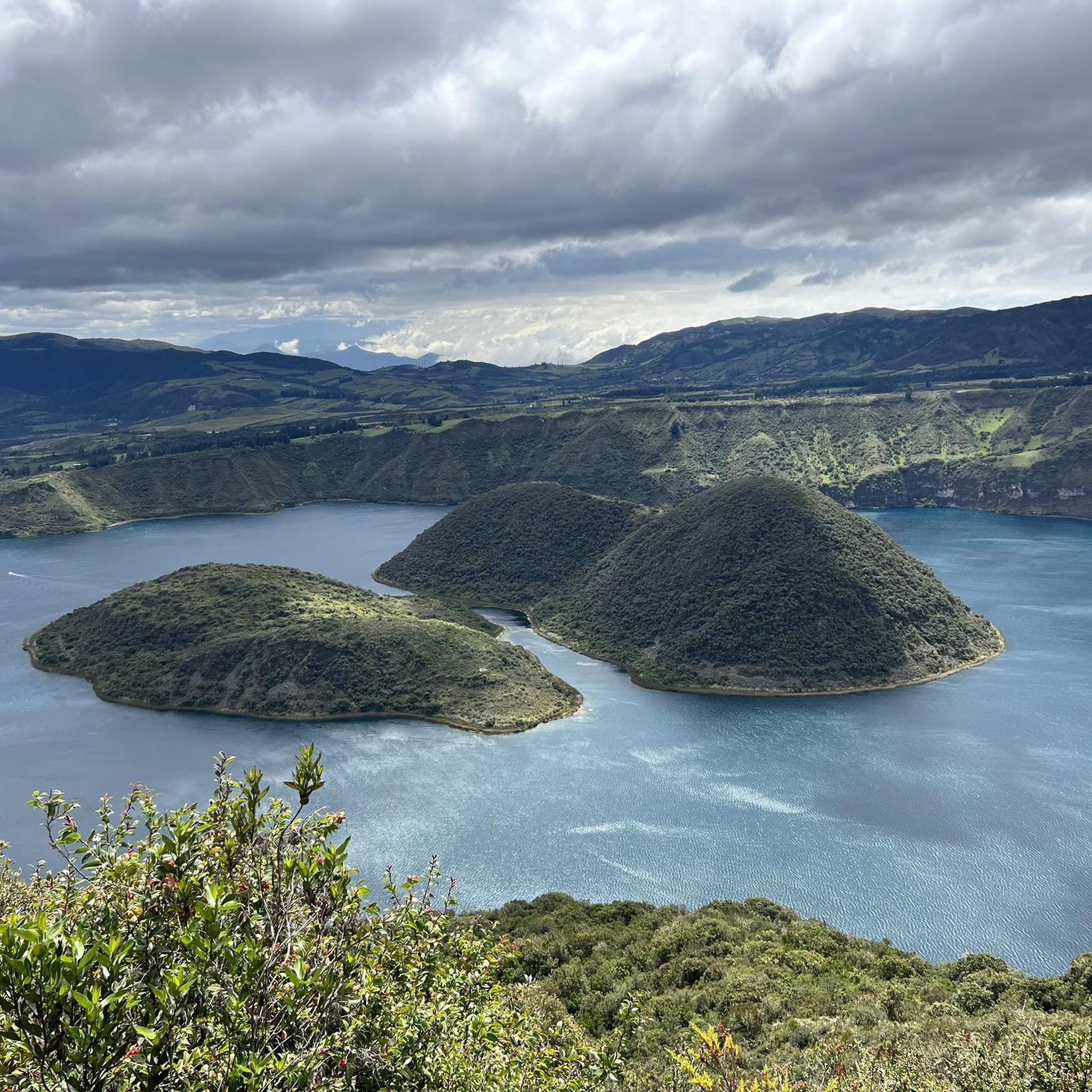
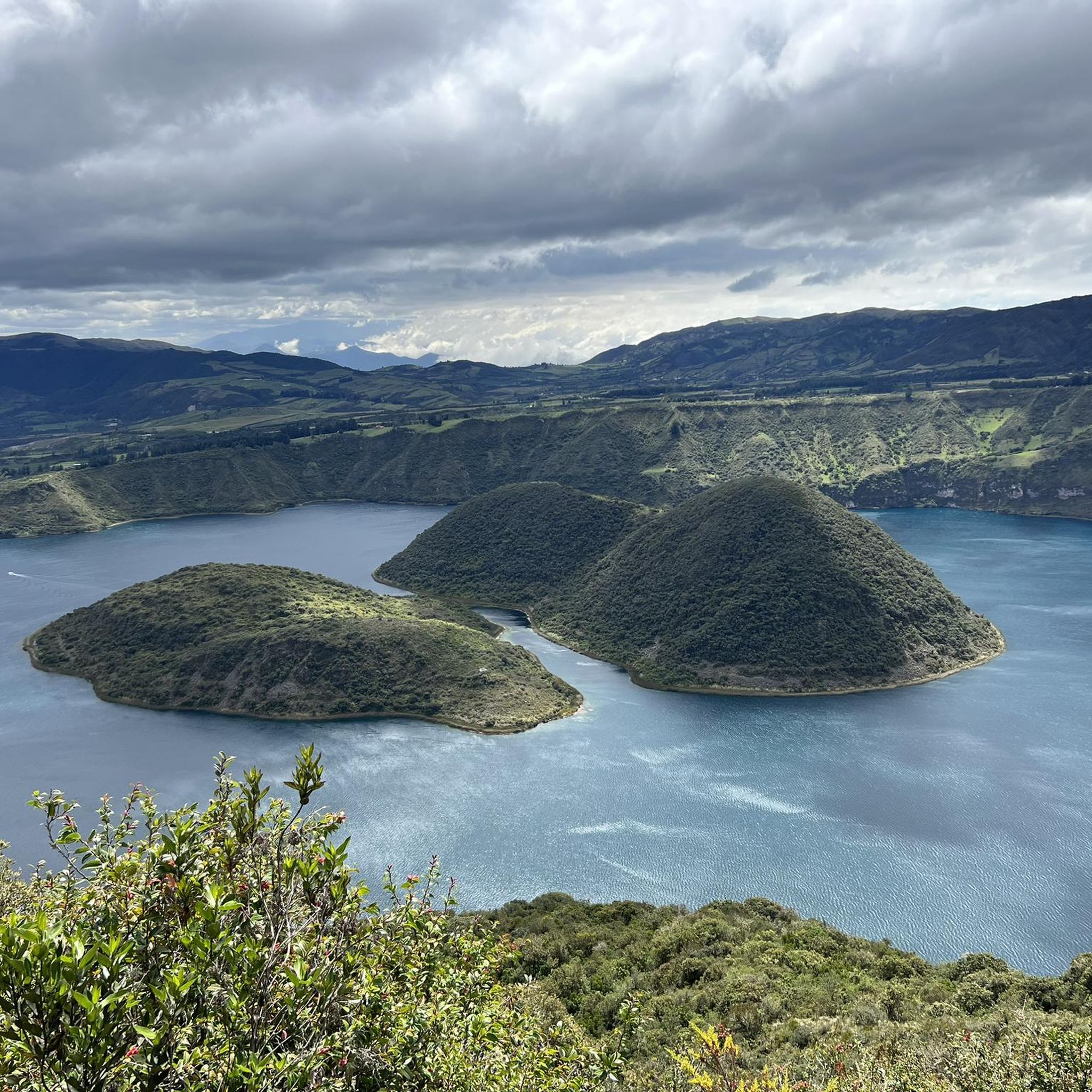
Road cycling routes in Cotacachi often pass by stunning natural features and cultural landmarks. You can cycle towards the breathtaking Cuicocha Lagoon, a volcanic crater lake, or visit the nearby Peguche Waterfall. Many routes offer views of the majestic Cotacachi Volcano and the slopes of Volcán Imbabura. You might also encounter the serene San Pablo Lake or the sacred El Lechero Sacred Tree and Viewpoint.
Can I cycle near Cuicocha Lagoon?
Absolutely. Cuicocha Lagoon is a major attraction and a significant feature for cyclists in the region. Road cycling routes often incorporate rides to and around this stunning volcanic crater lake, offering scenic views and a notable climb. A route from Cotacachi can involve an 800-meter ascent over approximately 15 km to reach the lagoon, providing a rewarding challenge and spectacular vistas.
Are there loop road cycling routes available in Cotacachi?
Yes, many of the road cycling routes in Cotacachi are designed as loops, allowing you to start and end in the same location. Popular loop options include the challenging Highway to Ibarra and Alamor – Beautiful Views loop from Andrade Marín and the moderate La Compañía loop from Otavalo. Another moderate loop is the Ilumán Bridge Crossing loop from Otavalo, which covers 32.4 km (20.1 miles).
What is the best time of year for road cycling in Cotacachi?
Cotacachi generally enjoys a temperate climate, making it suitable for road cycling year-round. However, the dry season, typically from June to September, often offers the most favorable weather conditions with less rain and clearer skies, which is ideal for enjoying the panoramic mountain views. Always check local weather forecasts before heading out.
Are there options for parking near the road cycling routes?
Many road cycling routes in Cotacachi start from towns like Cotacachi or Otavalo, where public parking facilities are generally available. While specific dedicated cycling parking might not be explicitly marked for every route, you can usually find parking in or near the starting points of the tours. It's advisable to check the specific starting location of your chosen route for the best parking options.
Can I reach road cycling routes using public transport?
Cotacachi and nearby towns like Otavalo are well-connected by public transport, primarily buses. You can often reach the starting points of many road cycling routes via bus from larger cities. However, transporting your road bike on public buses might require some planning or specific arrangements, as space can be limited. Some local transport services might be more accommodating than others.
Are there cafes or places to stop for refreshments along the routes?
Yes, many road cycling routes in Cotacachi pass through or near traditional towns and indigenous communities, offering opportunities to stop for refreshments. Towns like Cotacachi and Otavalo have various cafes, restaurants, and local markets where you can refuel. Even in smaller villages along the routes, you might find small shops or eateries. It's always a good idea to carry some snacks and water, especially on longer or more remote sections.
What do other road cyclists enjoy most about road cycling in Cotacachi?
The komoot community highly rates road cycling in Cotacachi, with an average score of 4.5 stars from over 4 reviews. Cyclists frequently praise the region's stunning Andean scenery, the challenging yet rewarding climbs, and the unique experience of riding through diverse volcanic landscapes. The panoramic views, especially towards Cuicocha Lagoon and the surrounding volcanoes, are often highlighted as major draws.
How many road cycling routes are available in Cotacachi?
There are over 5 road cycling routes available in Cotacachi, catering to various fitness levels. These include a mix of moderate and difficult trails, offering diverse experiences from rolling hills to significant mountain ascents. The komoot community has explored these routes over 100 times, highlighting the region's popularity among road cyclists.
Are there family-friendly road cycling options in Cotacachi?
While many routes in Cotacachi feature significant elevation changes, some of the moderate, shorter loop routes with less intense climbs could be considered more family-friendly, especially for families with older children or those accustomed to cycling. For example, the La Compañía loop from Otavalo offers a manageable distance and elevation gain through scenic Andean hills. Always assess the route's difficulty and your family's cycling experience before embarking.
Most popular routes in Cotacachi
Most popular attractions in Cotacachi

Get inspired with the komoot mobile app


Explore more
Browse the best Road cycling routes in other regions.
