The best road cycling routes around Hellmonsödt
4.6
(86)
2,408
riders
15
rides
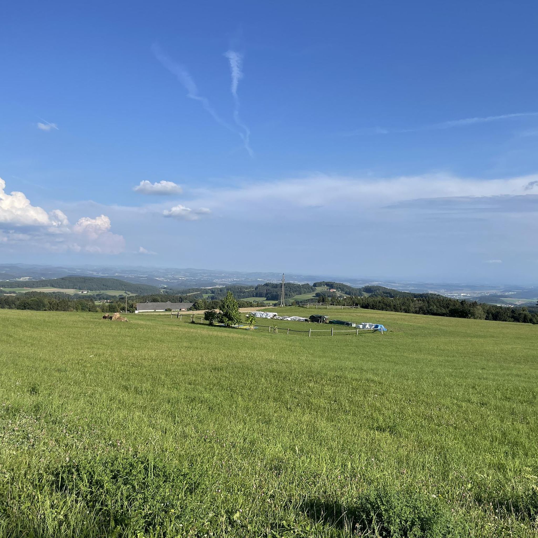
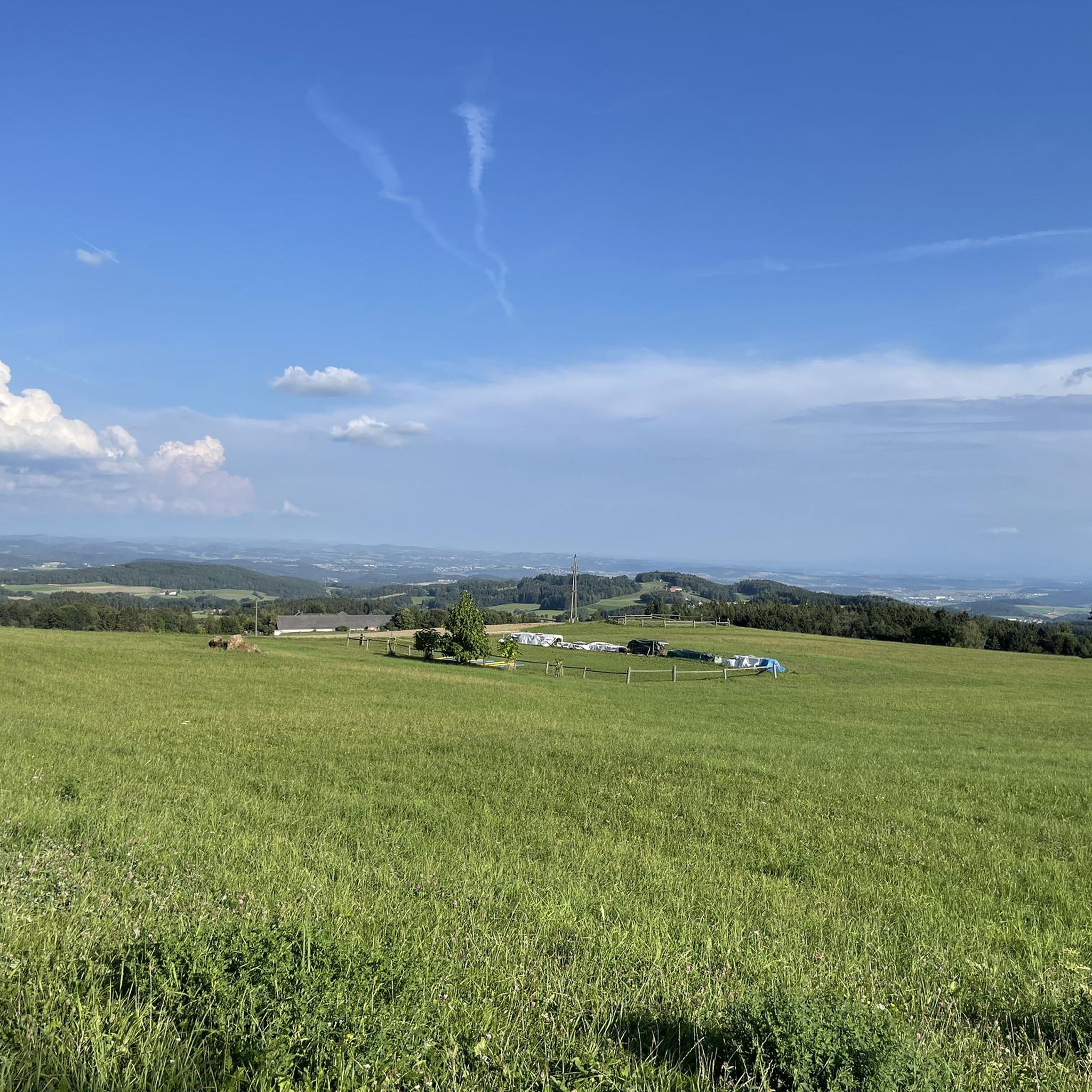
Road cycling around Hellmonsödt offers diverse landscapes on a high plateau in the Mühlviertel region, situated above the Haselgraben. The area features significant elevation changes, providing challenging climbs and rewarding panoramic views extending towards the Alpine ridge. Cyclists can explore a mix of wide plateaus, well-maintained farming villages, and forested areas like the Breitlusserwald. The region's elevated position ensures a distinct climate and fresh air, making it suitable for various road cycling routes.
Best road cycling routes around Hellmonsödt
- The…
Last updated: June 24, 2026
4.7
(6)
211
riders
38.9km
02:23
940m
940m
Hard road ride. Very good fitness required. Mostly well-paved surfaces and easy to ride.
4.5
(4)
91
riders
Moderate road ride. Good fitness required. Mostly well-paved surfaces and easy to ride.

Sign up for free
5.0
(1)
50
riders
53.8km
02:54
940m
940m
Hard road ride. Very good fitness required. Mostly well-paved surfaces and easy to ride.
14
riders
115km
06:34
2,120m
2,120m
Hard road ride. Very good fitness required. Mostly well-paved surfaces and easy to ride.
14
riders
84.9km
03:59
1,010m
1,010m
Hard road ride. Very good fitness required. Some segments of this route may be unpaved and difficult to ride.
Get access to more routes and recommendations from other explorers.
Sign up for free
Already have an account?
Our route recommendations are based on thousands of hikes, rides, and runs completed by other people on komoot.
Start today with a free account
Your next adventure awaits.
Login or Signup
Tips from the Community


Aschach an der Donau is one of those places that you visit and immediately feel like you are in a postcard. It is one of the oldest and most charming market towns in Upper Austria (Eferding district) and is located directly on the great Danube loop. For centuries, Aschach was an important hub for shipping and trade. This is still reflected in the townscape today. The row of houses directly on the Danube promenade largely dates from the 16th century (Renaissance and Baroque). The facades are magnificently restored and a popular photo motif.
0
0

The parish church of St. Anne, with its attached parish office and parish hall, is well worth a visit.
0
0

The town hall stands at the western end of the main square, northeast of the parish church in the town of Bad Leonfelden in the Mühlviertel region.
0
0
Brunnwald Castle is located in the village of Brunnwald, municipality of Vorderweißenbach in the district of Urfahr-Umgebung near Bad Leonfelden.
0
0


Ottensheim-Wilhering Power Plant and Lock! This impressive facility on the Danube plays an important role in energy generation and shipping. Here are some interesting aspects: ### General Information - **Location**: The power plant and lock are located in the municipality of **Wilhering** in **Upper Austria**. - **Year of Construction**: The power plant was built from **1970 to 1975** and is a run-of-river power plant. ### Technical Features 1. **Lock**: - The lock has **two lock chambers** measuring **230 × 24 m**. - It allows ships to pass through and overcomes the height difference in the river. 2. **Power Plant**: - The power plant has an **capacity** of approximately **30 MW** and uses the current of the Danube to generate electricity. - It is part of a project with **72 million euros** being invested to ensure the lifespan and efficiency of the power plant for another **50 years**. 3. **Water level**: - The river dam length is **16 km**, and the dam target is at an altitude of approximately **250 m**. ### Significance - **Energy generation**: The power plant contributes significantly to the region's electricity supply and is an important component of renewable energy sources in Austria. - **Shipping**: The lock is a central point for inland navigation on the Danube, enabling the transport of goods and passengers. ### Summary The **Ottensheim-Wilhering power plant and lock** are not only technical masterpieces, but also crucial elements for the energy supply and shipping in the region. A visit to this facility offers exciting insights into the world of hydropower and engineering! ✨
2
0

Many cafes and restaurants along the Danube, perfect for a break on your bike tour.
1
0
Frequently Asked Questions
What kind of terrain can I expect on road cycling routes in Hellmonsödt?
Hellmonsödt's road cycling routes traverse a high plateau in the Mühlviertel, offering diverse landscapes. You'll encounter significant elevation changes, wide plateaus, well-maintained farming villages, and forested sections like the Breitlusserwald. While primarily on tarmac, some segments might be unpaved, offering a varied experience.
Are there challenging road cycling routes with significant climbs in Hellmonsödt?
Yes, Hellmonsödt is known for its challenging routes with substantial elevation changes. For instance, the Southeast View of Linz – Zur Gis Inn loop from Hellmonsödt is a difficult route with over 900 meters of elevation gain. The region's elevated position provides a good challenge for cyclists, often rewarding them with panoramic views.
What are some scenic viewpoints or attractions along the road cycling routes?
The elevated position of Hellmonsödt offers stunning panoramic views, especially towards the Alpine ridge. You can find excellent vistas like the View of Linz from the Euphemia Viewing Platform (Pöstlingberg). Other notable points include the Großer Zeißberg Summit and the European Watershed Monument Mühlviertel.
Are there any loop road cycling trails around Hellmonsödt?
Yes, many of the road cycling routes around Hellmonsödt are designed as loops. Popular options include the difficult Southeast View of Linz – Zur Gis Inn loop from Hellmonsödt and the moderate Waxenberg – Bad Leonfelden loop from Hellmonsödt. Another great loop is the Hellmonsödt – Ottenschlag Landscape Pond loop from Hellmonsödt.
What is the best time of year for road cycling in Hellmonsödt?
Hellmonsödt's elevated position means it often has less oppressive summer heat and provides fresh air, making it enjoyable during warmer months. The region research specifically highlights stunning panoramic views in autumn, suggesting it's also an excellent time to visit for road cycling.
Are there family-friendly road cycling options in Hellmonsödt?
While many road cycling routes in Hellmonsödt feature significant elevation changes and are rated moderate to difficult, the region also offers attractions suitable for families. The 4-kilometer barrier-free Planetenweg (Planet Path) is a unique circular path with educational elements, playgrounds, and picnic spots, which could be enjoyed by families, though it's not a dedicated road cycling route.
What do other road cyclists enjoy most about road cycling in Hellmonsödt?
The road cycling routes in Hellmonsödt are highly rated by the komoot community, with an average score of 4.7 stars from over 70 reviews. Cyclists often praise the diverse landscapes, challenging climbs, and rewarding panoramic views extending towards the Alpine ridge, as well as the fresh air and well-maintained farming villages.
Are there places to stop for refreshments or food along the routes?
Yes, the region has well-maintained farming villages and market towns that offer opportunities for refreshment stops. For example, the Zur Gis Inn is mentioned as a point of interest on one of the popular routes, and Bad Leonfelden Market Square is part of another scenic loop, likely offering various amenities.
How many road cycling routes are available around Hellmonsödt on komoot?
There are 15 dedicated road cycling routes around Hellmonsödt listed on komoot. These include 5 moderate and 10 difficult routes, offering a range of options for different skill levels.
Can I find routes that connect Hellmonsödt to other towns or regions?
Yes, the region's cycling network includes connections to other areas. For example, the Waxenberg – Bad Leonfelden loop from Hellmonsödt traverses through the scenic landscape connecting market towns. There are also north-south links from Linz through the picturesque Sterngartl Gusental region, indicating broader connectivity.
What is the longest road cycling route available from Hellmonsödt?
One of the longer and more challenging routes is the Bad Leonfelden Market Square – View of Waxenberg Castle Ruins loop from Weberndorf, which covers approximately 115 kilometers and features over 2,100 meters of elevation gain.
Most popular routes around Hellmonsödt
Most popular attractions around Hellmonsödt

Get inspired with the komoot mobile app


Explore more
Browse the best Road cycling routes in other regions.
