The best running trails in Javier Loyola (Chuquipata)
171
runners
6
runs
Jogging routes in Javier Loyola (Chuquipata) traverse diverse Andean landscapes within Ecuador's Cañar province. The region is characterized by its warm Andean valley, rural roads, and significant elevation changes, offering varied terrain for running. Features include the Burgay River basin and views of Cerro Pachamama, a peak reaching 3,350 meters above sea level. These natural elements provide a range of running experiences, from paths along rivers to more challenging uphill trails.
Best jogging routes in Javier Loyola (Chuquipata)
- The most…
Last updated: July 12, 2026
36
runners
20.3km
02:16
150m
150m
Hard run. Very good fitness required. Mostly paved surfaces. Suitable for all skill levels.
26
runners
17.4km
01:59
210m
210m
Hard run. Very good fitness required. Mostly paved surfaces. Suitable for all skill levels.

Sign up for free
26
runners
23.0km
02:29
190m
190m
Hard run. Very good fitness required. Mostly paved surfaces. Suitable for all skill levels.
8
runners
5.80km
00:41
70m
70m
Moderate run. Good fitness required. Mostly paved surfaces. Suitable for all skill levels.
3
runners
4.02km
00:33
190m
190m
Moderate run. Good fitness required. Mostly paved surfaces. Suitable for all skill levels.
Our route recommendations are based on thousands of hikes, rides, and runs completed by other people on komoot.
Start today with a free account
Your next adventure awaits.
Login or Signup
Popular around Javier Loyola (Chuquipata)
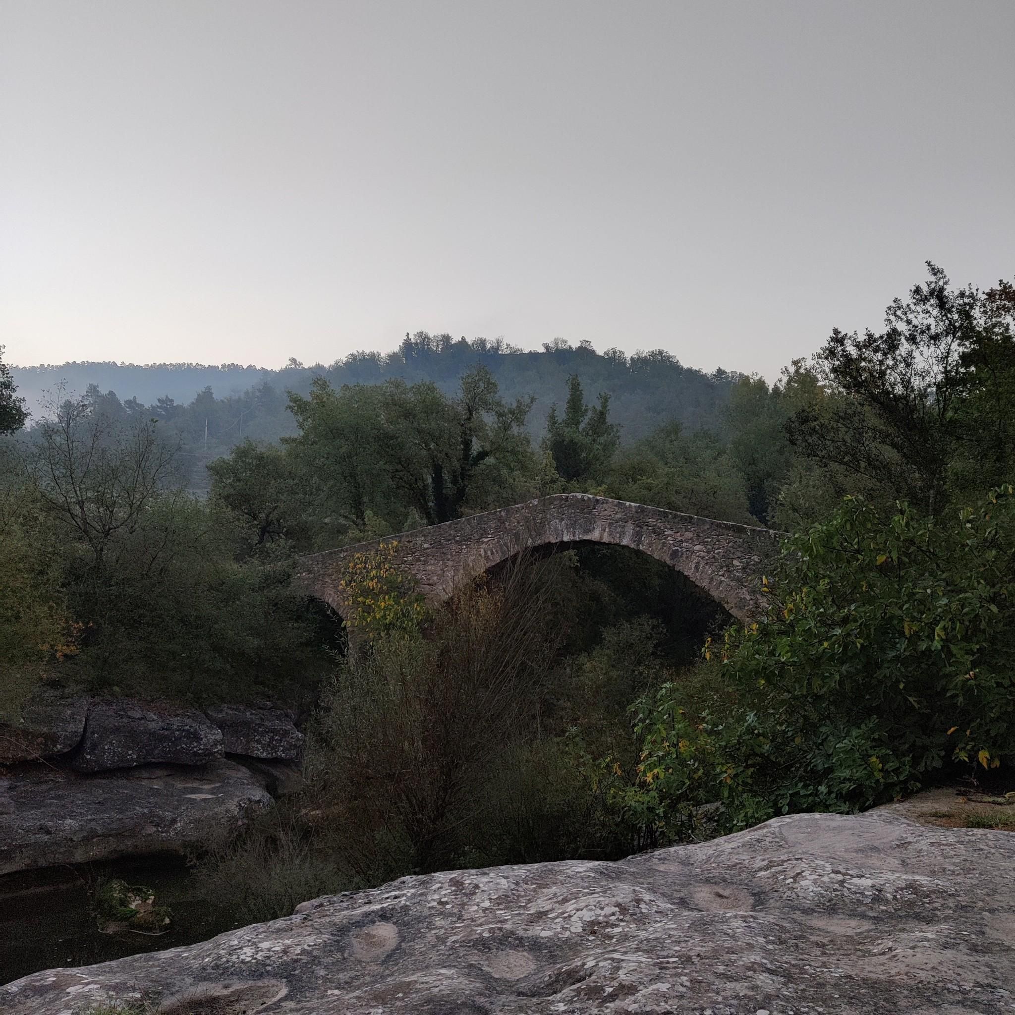
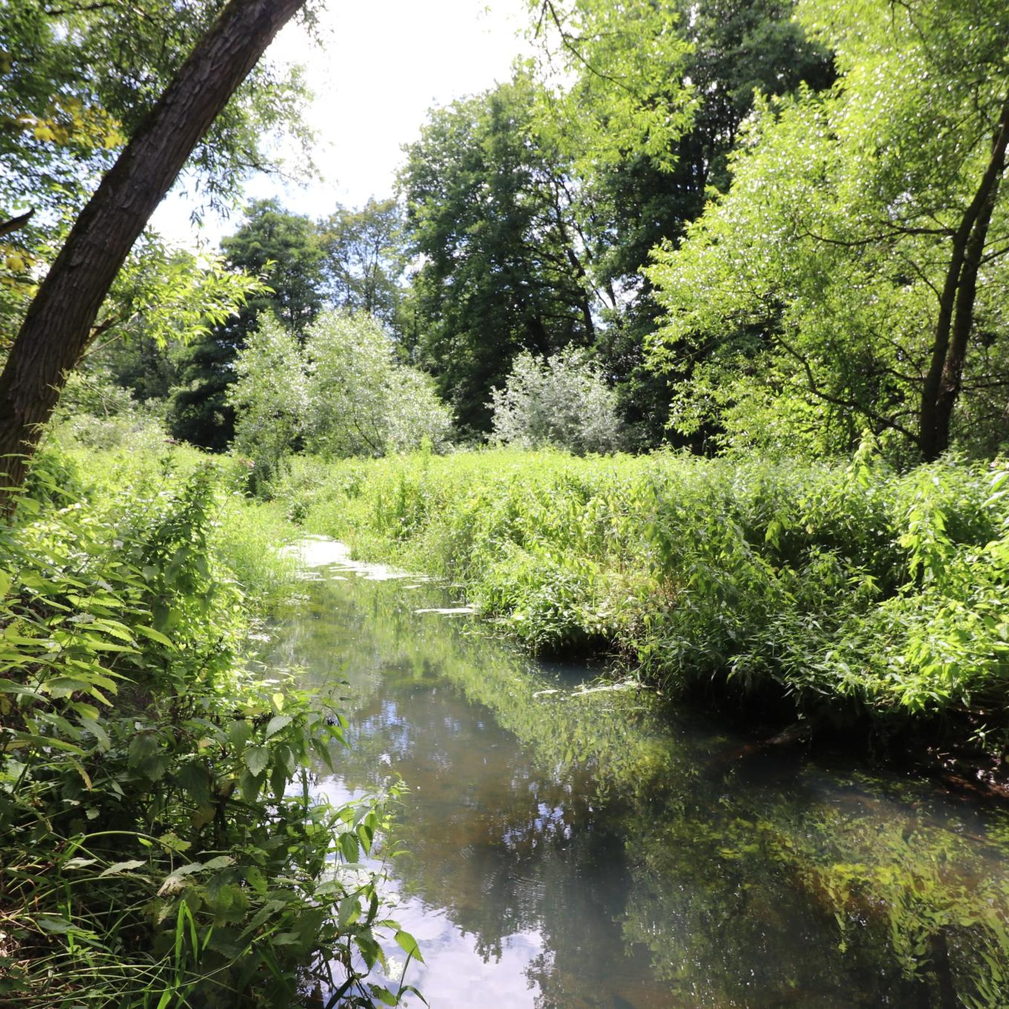
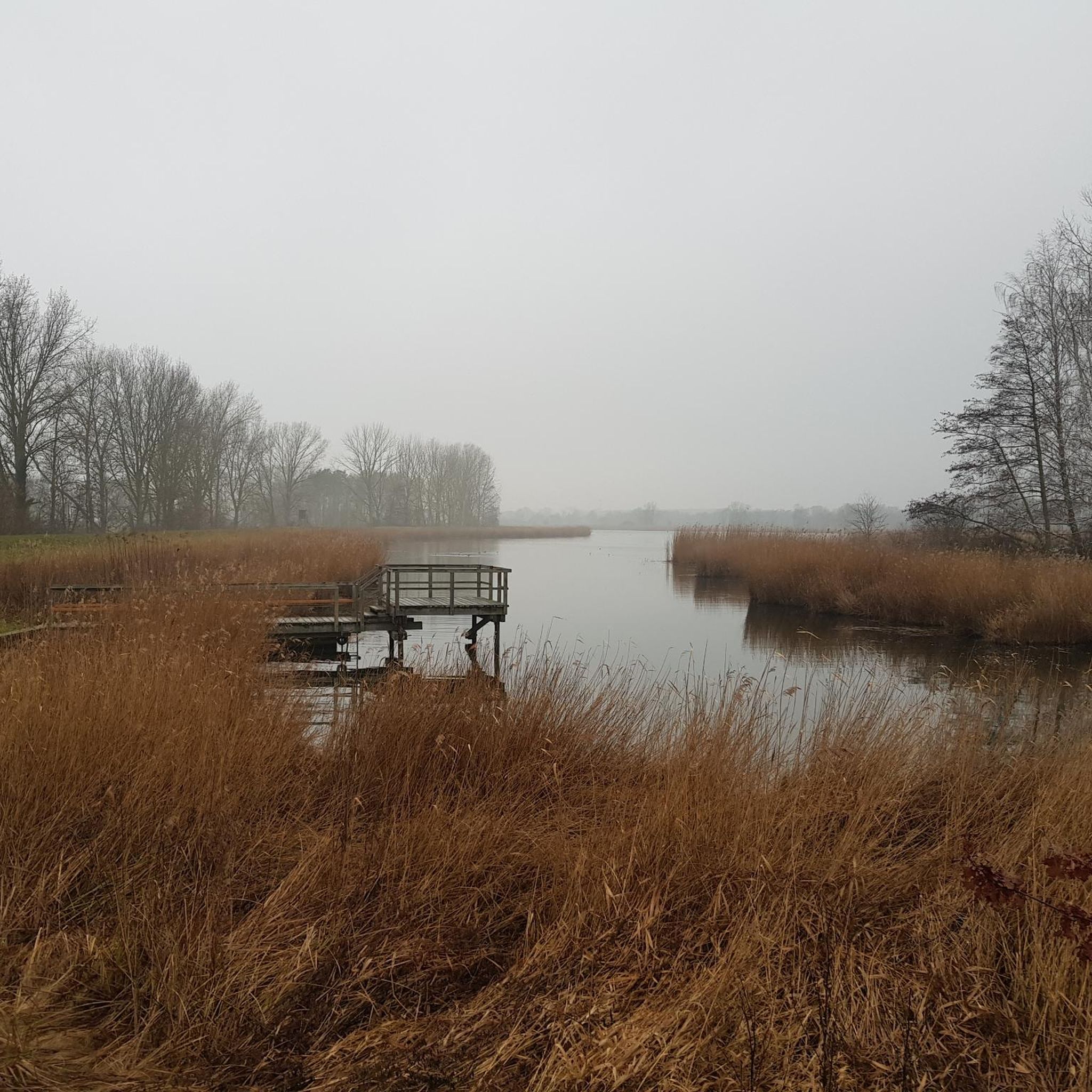
Tips from the Community


Cuenca, with its almost 700,000 inhabitants, is the third largest city in Ecuador. It is located at an altitude of 2,500 meters above sea level, within a basin surrounded by gentle hills (hills that reach altitudes even above 3,000 metres). The city is an extraordinary combination of Andean and European culture. It offers everything you need for a regenerating break from the pedals. Don't miss the Pumapungo anthropological museum: it helps you learn more about Ecuadorian traditions and culture.
1
0

a beautiful route to run in the middle of nature
0
0
Frequently Asked Questions
What kind of terrain can I expect on running routes in Javier Loyola (Chuquipata)?
Running routes in Javier Loyola (Chuquipata) feature diverse Andean landscapes. You'll encounter a mix of rural roads and trails within the warm Andean valley of the Burgay River basin. The region is known for significant elevation changes, offering varied terrain from river paths to more challenging uphill sections, ideal for trail running.
Are there any easy or beginner-friendly running routes in the area?
While many routes in Javier Loyola (Chuquipata) are considered challenging due to elevation changes, there are options for moderate difficulty. For example, the Path Along the Cuenca River loop from Río Cuenca is a moderate 5.8 km (3.6 miles) route with an elevation gain of about 70 meters, offering a less strenuous option.
What natural features or landmarks can I see while running in Javier Loyola (Chuquipata)?
The region offers stunning Andean scenery and views of local communities. You'll find picturesque landscapes along rural roads and the Burgay River basin. A prominent natural feature is Cerro Pachamama, a majestic peak at 3,350 meters, offering impressive panoramic views. While specific highlights are not listed, the diverse ecosystems provide a beautiful backdrop for your run.
Are there any circular running routes available?
Yes, many of the running routes in Javier Loyola (Chuquipata) are designed as loops. For instance, the challenging Quinta Lucrecia loop from Río Machángara and the scenic Path Along the Cuenca River loop from Ricaurte are both popular circular options.
What is the best time of year to go running in Javier Loyola (Chuquipata)?
The region is situated in a warm Andean valley, suggesting generally pleasant conditions. However, given the diverse ecosystems and elevation, it's advisable to check local weather forecasts before your run. The best time would typically be during drier seasons to avoid muddy trails, though specific seasonal recommendations are not detailed.
Are the running routes in Javier Loyola (Chuquipata) suitable for families or children?
The available information emphasizes the rugged beauty and challenging aspects of Andean exploration, with many routes featuring significant elevation changes. While some moderate routes exist, those seeking traditional, flat jogging paths for young children might find fewer designated options. It's best to assess individual routes for difficulty and terrain before bringing children.
Can I bring my dog on the running trails?
The guide does not specify regulations regarding dogs on the running trails in Javier Loyola (Chuquipata). It's recommended to check local signage or with regional authorities regarding pet policies on specific paths or natural areas before heading out with your dog.
Are there places to park near the running routes?
While specific parking locations for each route are not detailed, the region's developing tourist infrastructure and rural nature suggest that parking might be available near trailheads or in local communities. For routes starting from areas like Río Machángara or Ricaurte, you would typically find parking options in those vicinities.
What are the elevation gains like on these running routes?
Running routes in Javier Loyola (Chuquipata) are characterized by significant elevation changes. For example, the Path Along the Cuenca River loop from Ricaurte has an elevation gain of over 200 meters, and even the moderate Running loop from Cojitambo features nearly 193 meters of ascent, making them invigorating for trail runners.
Are there any services like cafes or restaurants near the running trails?
Javier Loyola (Chuquipata) is a developing tourist destination. While the guide doesn't list specific cafes or restaurants directly adjacent to trailheads, the parish and nearby Azogues canton offer local services. You can likely find places to eat or refresh in the main towns or communities before or after your run.
How many running routes are available in Javier Loyola (Chuquipata) on komoot?
Komoot features a selection of 6 running routes in Javier Loyola (Chuquipata), offering a variety of experiences for runners. These include both moderate and difficult options, showcasing the region's diverse terrain.
What makes running in Javier Loyola (Chuquipata) unique?
Running in Javier Loyola (Chuquipata) offers a unique experience due to its location in a warm Andean valley, characterized by rural roads and significant elevation changes. The routes provide stunning views of the Burgay River basin and distant glimpses of Cerro Pachamama, immersing runners in diverse Andean landscapes and ecosystems.
Most popular routes in Javier Loyola (Chuquipata)

Get inspired with the komoot mobile app


Explore more
Browse the best Running Trails & Routes in other regions.
