The best walks and hikes in Cascajal
4.5
(73)
713
hikers
10
hikes
Hiking in Cascajal, Costa Rica, offers diverse and mountainous natural features, shaped by volcanic materials from the Irazú and Barva volcanoes. The region is part of the Cordillera Central, providing a rugged and scenic backdrop for outdoor activities. Several rivers descend towards the Atlantic, and protected areas like Braulio Carrillo National Park are accessible. This varied landscape provides a range of hiking options for different fitness levels.
Best hiking trails in Cascajal
- The most popular hiking route is Main Crater…
Last updated: July 1, 2026
4.5
(27)
236
hikers
Easy hike. Great for any fitness level. Easily-accessible paths. Suitable for all skill levels.
5.0
(5)
124
hikers
17.1km
05:50
780m
780m
Hard hike. Very good fitness required. Mostly accessible paths. Sure-footedness required.

Sign up for free
4.9
(8)
78
hikers
6.96km
02:30
320m
320m
Moderate hike. Good fitness required. Mostly accessible paths. Sure-footedness required.
4.2
(5)
61
hikers
Moderate hike. Good fitness required. Mostly accessible paths. Sure-footedness required.
4.2
(5)
54
hikers
Moderate hike. Great for any fitness level. Mostly accessible paths. Sure-footedness required.
Get access to more routes and recommendations from other explorers.
Sign up for free
Already have an account?
Our route recommendations are based on thousands of hikes, rides, and runs completed by other people on komoot.
Start today with a free account
Your next adventure awaits.
Login or Signup
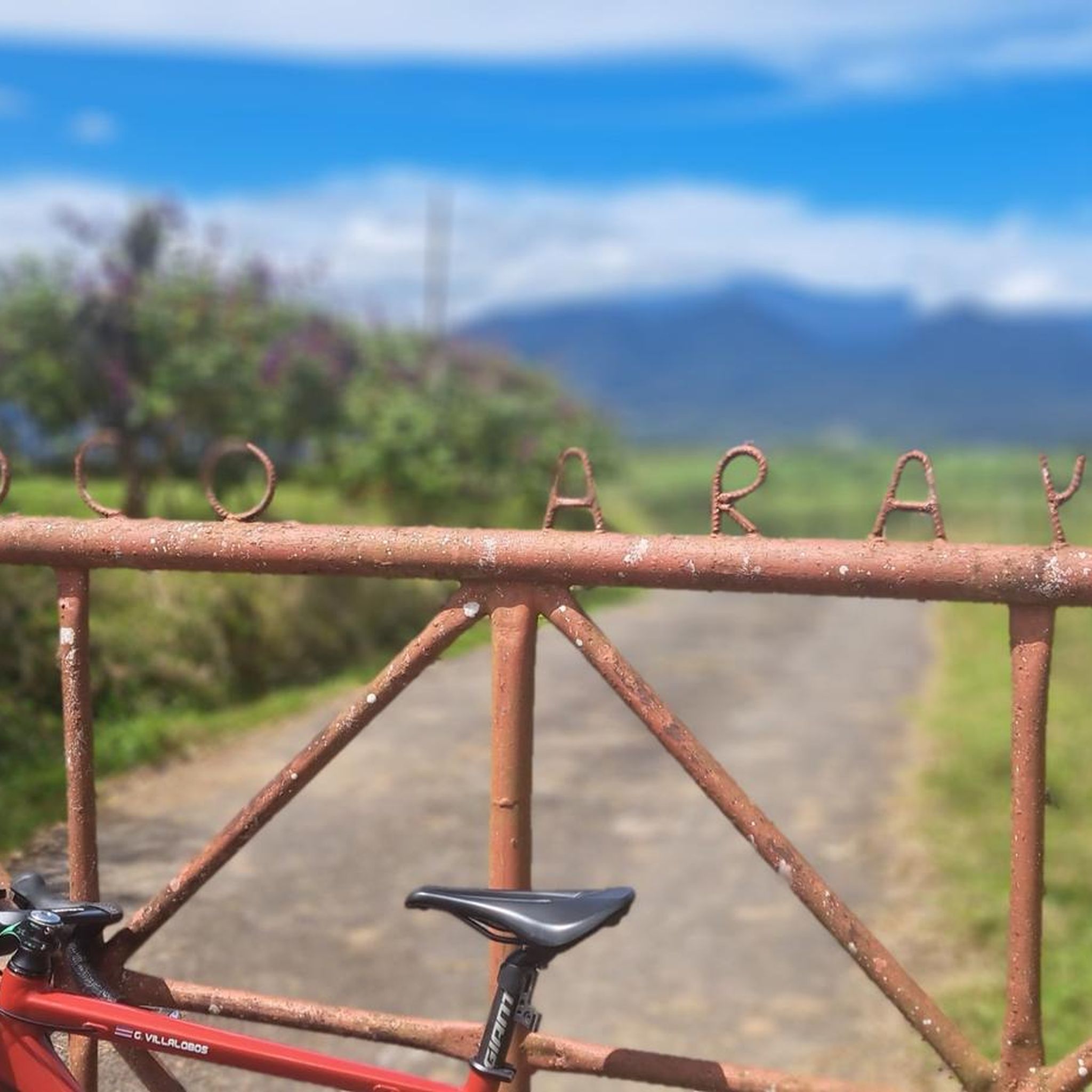

Tips from the Community

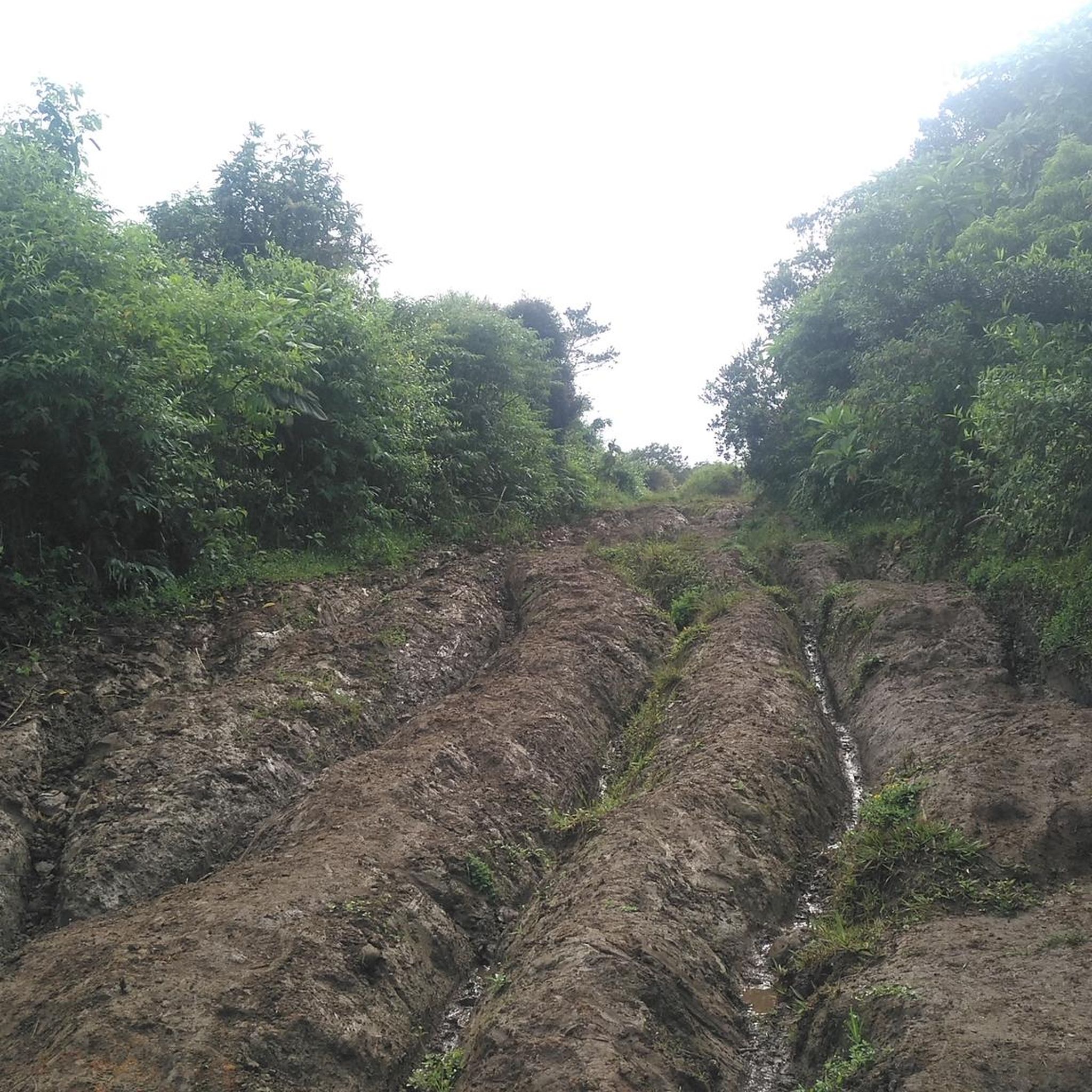
To get here, you can enter Prusia Park and walk along the Cabeza de Vaca Trail, but you'll have to pay a toll to use the access route through Finca Hacienda Retes. Alternatively, you can exit the park through the main entrance and take the first turn on the right onto an asphalt road, also paying a toll. Continue up a steep hill and you'll reach the Cabeza de Vaca Trail again.
0
0
This trail offers spectacular views of Cartago province. Please note that to continue inside the park, you must return along this same trail.
0
0

Here you can buy souvenirs and there is also a small café/bakery
0
0

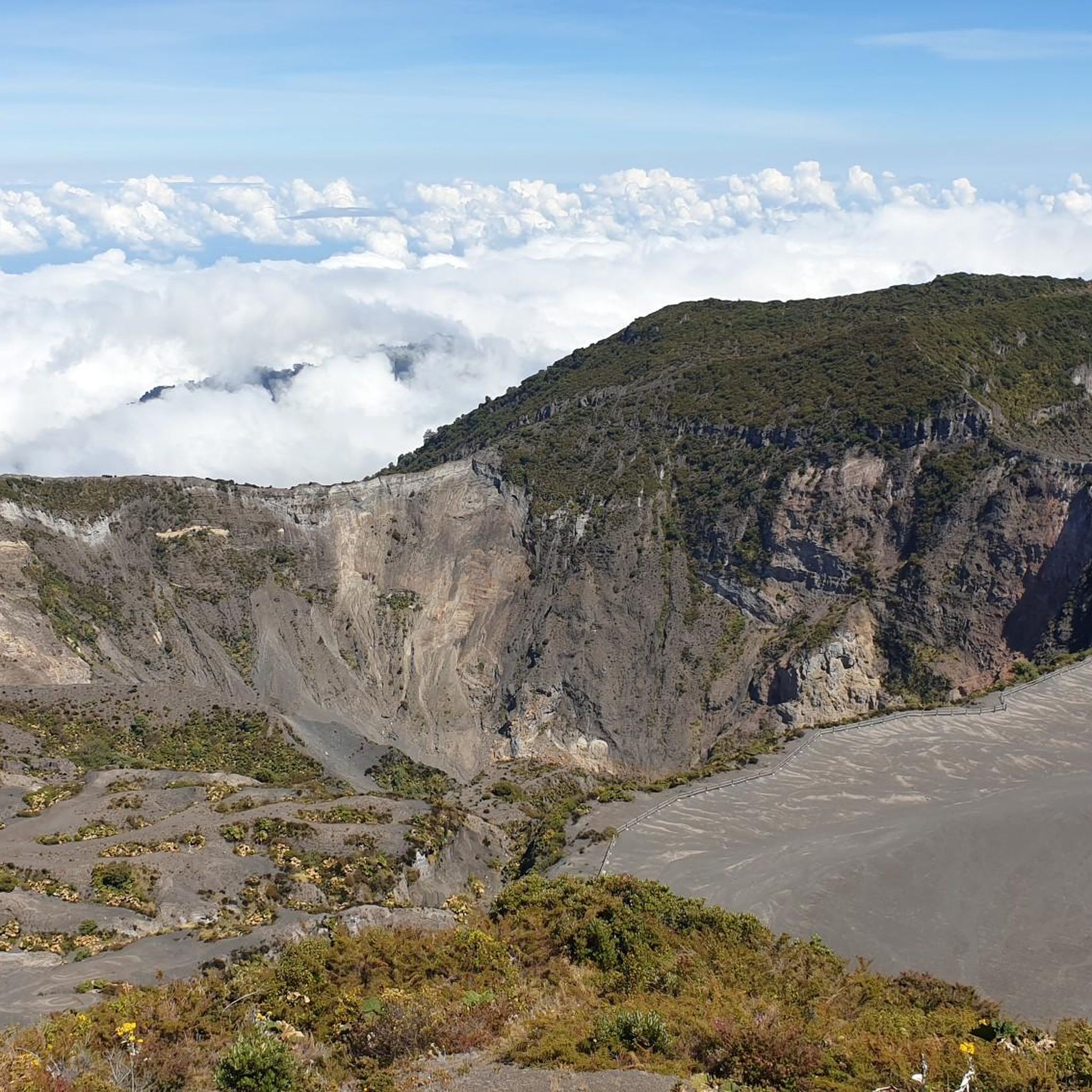
A very beautiful viewpoint. We used the short circular trail to acclimatize/prepare for Cerro Chirripó, as you're at a very high altitude. Due to the altitude, it can be chilly and windy; we were there in April, and a sweater was sufficient. I can definitely recommend visiting the volcano in the morning. Between 8 and 10 a.m., there are hardly any people there, and the sky is usually still clear at this time. Clouds usually move up the mountain from mid-morning onward. The view is magnificent; however, the turquoise lakes aren't visible during the dry season; they're probably only full during the rainy season. There's a small restaurant that leaves nothing to be desired; all in all, it's fantastic.
0
0

A visit worth it for volcano lovers. Recommended in the morning
0
0
Access requires online reservation. Access is possible until 1 p.m., so it makes sense to hike the Prusia sector in the morning and then visit the Irazu volcano.
0
0

Very windy but beautiful.
0
0
Very windy but beautiful.
1
0
Frequently Asked Questions
How many hiking trails are there in Cascajal?
Cascajal offers a variety of hiking experiences, with over 10 trails available for exploration. These routes cater to different fitness levels, from easy walks to more challenging treks through mountainous terrain.
What kind of terrain can I expect when hiking in Cascajal?
Hikers in Cascajal will encounter diverse and mountainous terrain, largely shaped by volcanic activity from the Irazú and Barva volcanoes. The region is part of the Cordillera Central, featuring rugged landscapes, varied elevation changes, and several rivers descending towards the Atlantic.
Are there hiking trails suitable for beginners in Cascajal?
Yes, Cascajal has several easy hiking options. For instance, the Main Crater of Irazú Volcano – View of Irazú Volcano Crater loop from Irazú Volcano National Park is an easy 2.7-mile (4.4 km) trail that takes about 1 hour 19 minutes to complete, offering views of the volcano's crater.
Are there challenging hikes for experienced trekkers in Cascajal?
For experienced hikers seeking a challenge, the Haunted Tree – Cabeza de Vaca Trail Viewpoint loop from Corralillo is a difficult 10.6-mile (17.1 km) trail. This route leads through mountainous terrain with significant elevation gain, typically taking around 5 hours 50 minutes to complete.
Are there circular hiking routes available in Cascajal?
Many of Cascajal's trails are designed as loops, allowing hikers to start and end at the same point. Examples include the Main Crater of Irazú Volcano loop and the Los Abuelos Viewpoint – Haunted Tree loop, providing convenient options for exploring the region.
What interesting landmarks or viewpoints can I see along the hiking trails?
Cascajal's trails offer access to several notable landmarks and viewpoints. You can visit the Main Crater of Irazú Volcano, enjoy panoramic views from Viewpoint at Potrero Cerrado Letters, or take in the Scenic Countryside View Near Cascajal. The region also features historical sites like the Atlántico Railway Station and Sanatorio Durán.
Is public transport available to reach hiking trails in Cascajal?
While specific public transport routes directly to all trailheads may vary, Cascajal is part of the Vázquez de Coronado canton, which has some public bus services. For detailed information on reaching specific starting points like Irazú Volcano National Park, it's advisable to check local bus schedules or consider ride-sharing options.
Where can I find parking for hiking trails in Cascajal?
Many popular trailheads, such as those within Irazú Volcano National Park or near Parquecito, typically offer designated parking areas for visitors. It's recommended to check specific park regulations or local signage upon arrival for the most accurate parking information.
Are permits required for hiking in Cascajal?
Hiking in certain protected areas within or near Cascajal, such as Braulio Carrillo National Park or Irazú Volcano National Park, may require an entrance fee or permit. It's always best to check the official websites of these national parks for current regulations and to purchase any necessary tickets in advance.
Are there family-friendly hiking options in Cascajal?
Yes, Cascajal offers trails suitable for families. The easier routes, like the Main Crater of Irazú Volcano loop, are generally well-maintained and have manageable distances and elevation gains, making them enjoyable for various age groups.
What do other hikers enjoy the most about hiking in Cascajal?
The hiking experiences in Cascajal are highly rated by the komoot community, with an average score of 4.6 stars from over 60 reviews. Hikers often praise the region's stunning natural scenery, the diverse volcanic landscapes, and the variety of trails that cater to different skill levels.
Most popular routes in Cascajal
Most popular attractions in Cascajal

Get inspired with the komoot mobile app


Explore more
Browse the best Hikes in other regions.
