The best cycling routes in San Francisco De Dos Rios
4.7
(72)
1,545
riders
80
rides
Touring cycling in San Francisco De Dos Rios, a district within San José, Costa Rica, is characterized by its location in the Valle Central region. The area is situated between the Talamanca mountain range to the south and volcanoes to the north, providing a diverse and varied topography. At approximately 3,840 feet (1170 meters) above sea level, the district offers a cooler climate and a mix of urban and accessible natural landscapes for cyclists. This geographical setting creates a range…
Last updated: July 7, 2026
5.0
(5)
54
riders
Hard bike ride. Very good fitness required. Mostly paved surfaces. Suitable for all skill levels.
4.5
(4)
43
riders
45.2km
03:05
760m
760m
Hard bike ride. Very good fitness required. Mostly paved surfaces. Suitable for all skill levels.

Sign up for free
5.0
(1)
28
riders
81.1km
05:36
1,410m
1,410m
Hard bike ride. Very good fitness required. Mostly paved surfaces. Suitable for all skill levels.
5.0
(1)
31
riders
64.9km
04:23
1,070m
1,070m
Hard bike ride. Very good fitness required. Mostly paved surfaces. Suitable for all skill levels.
5.0
(3)
20
riders
81.0km
06:17
2,090m
2,090m
Hard bike ride. Very good fitness required. Mostly paved surfaces. Suitable for all skill levels.
Get access to more routes and recommendations from other explorers.
Sign up for free
Already have an account?
Our route recommendations are based on thousands of hikes, rides, and runs completed by other people on komoot.
Start today with a free account
Your next adventure awaits.
Login or Signup
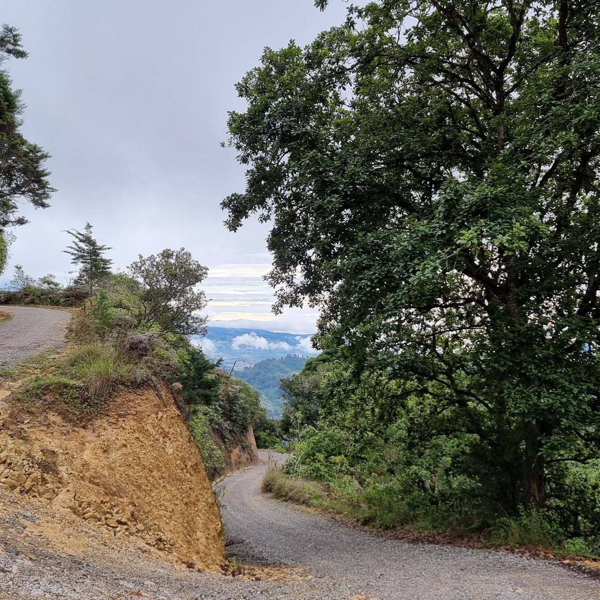
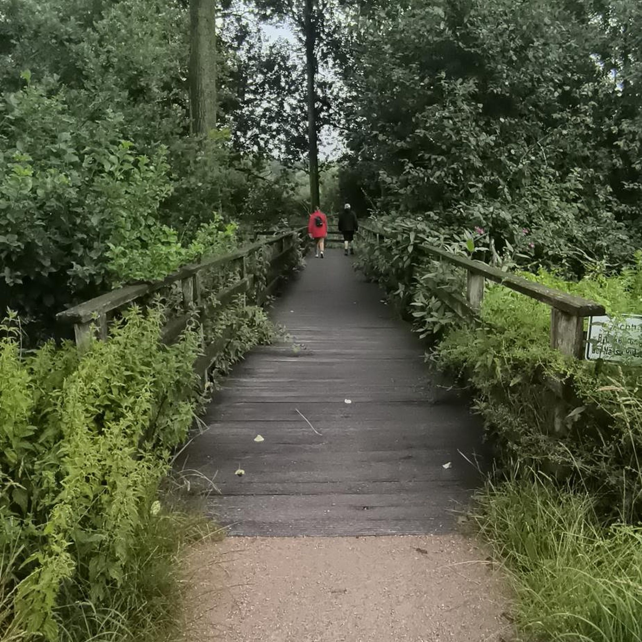
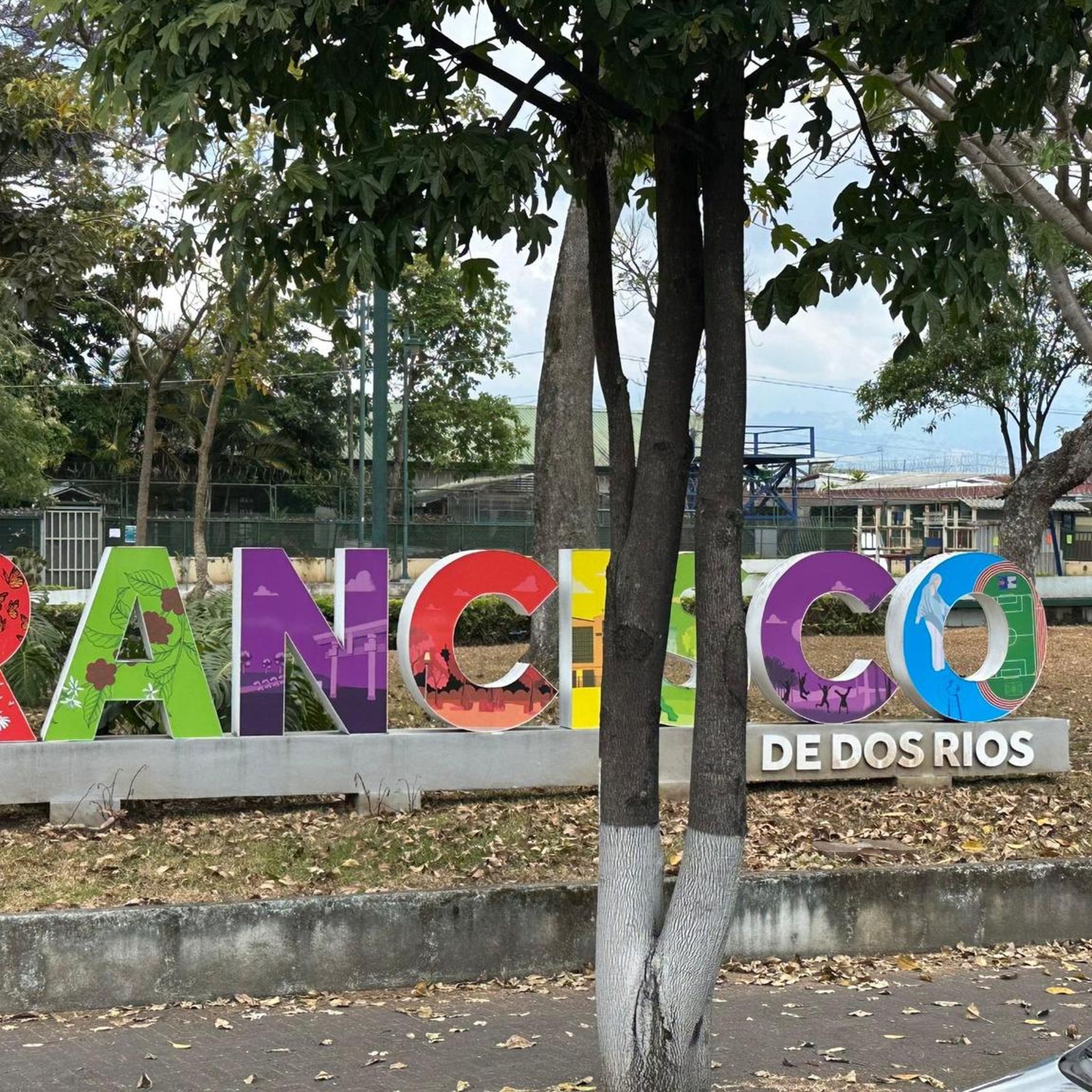

Tips from the Community

Anyone who goes to Coro and doesn't take a photo of the church didn't go to Coro 🤣
0
0

That park in Heredia I truly enjoyed, was great to stop, I even met some bikers who I knew from a previous tour.
0
0
High traffic in the afternoon.
0
0

On New Year's Day the shops were closed, but the streets were clear.
0
0

Sculpture called Creation dedicated to "Cacique Barvak" by the sculptor Fabio Brenes,
0
0
The San Bartolomé Apóstol Parish,[1] is a Catholic church in the district of Barva in the canton of Barva, Heredia, Costa Rica. The first church was established between 1568 and 1575, an adobe construction with a thatched roof, and was dedicated to San Bartolomé Apóstol; It is rumored to have been built over an Indian burial ground, as numerous Native American-made objects have been removed.
0
0
Tribute to Chief Barvac. Chief Barvac, also known as Barvak, was an important indigenous leader in the region we now know as Costa Rica. His name is believed to mean "People of the Anteater" in the ancient Huetar language. Chief Barvac's name has transcended time and generations, and is currently used to name important places in Costa Rica, including a volcano and a canton.
0
0
The Parroquia San Bartolomé Apóstol (Parish of Saint Bartholomew the Apostle), is a church in Barva, Heredia, Costa Rica. The first church was established between 1568 and 1575, and dedicated to Saint Bartholomew; it is rumored to have been built on an indigenous burial ground.
0
0
Frequently Asked Questions
How many touring cycling routes are available in San Francisco De Dos Rios?
There are over 80 touring cycling routes in San Francisco De Dos Rios, offering a wide range of options for cyclists. The majority of these routes are considered difficult, providing a challenge for experienced riders, but there are also moderate and a few easy options available.
What is the best time of year for touring cycling in San Francisco De Dos Rios?
The ideal time for touring cycling in San Francisco De Dos Rios is during the dry season, which typically runs from December to April. During these months, you can expect sunnier days and less rain, making for more pleasant riding conditions. The district's elevation at approximately 1170 meters (3,840 feet) also contributes to a cooler climate, which is favorable for cycling.
Are there any family-friendly touring cycling routes in San Francisco De Dos Rios?
While many routes in the broader region are challenging, San Francisco De Dos Rios does offer a few easier touring cycling options suitable for families or those looking for a more relaxed ride. These routes often explore urban green spaces or less strenuous paths within the district. For example, you might find suitable sections around local parks like Parque de la Paz or John F. Kennedy Park, which provide green spaces within the urban area.
What kind of terrain can I expect on touring cycling routes in San Francisco De Dos Rios?
Touring cycling in San Francisco De Dos Rios features diverse terrain due to its location between the Talamanca mountain range and volcanoes. You can expect varied topography with significant elevation changes, ranging from rolling hills to challenging climbs. Routes often combine urban sections with scenic roads and agricultural areas, providing a mix of landscapes.
What do other touring cyclists say about the routes in San Francisco De Dos Rios?
The touring cycling routes in San Francisco De Dos Rios are highly rated by the komoot community, with an average score of 4.7 stars from nearly 60 reviews. Cyclists often praise the varied topography and the scenic views offered by the region's unique geographical position.
Are there any circular touring cycling routes available?
Yes, many of the touring cycling routes in San Francisco De Dos Rios are designed as loops, allowing you to start and finish at the same point. Examples include the challenging Overpass with stairs – Cerrito Street loop from Plaza Cleto González Víquez, which covers 32.5 km, or the longer Iglesia de Paraíso – Cartago Farmers Market loop from Ambos Mares, an 80.4 km trail through scenic roads.
What are some notable landmarks or attractions I can see while cycling in the area?
While cycling in and around San Francisco De Dos Rios, you can explore several significant landmarks and attractions. These include historical sites like the National Theatre of Costa Rica and the bustling Central Market of San José. You might also pass by the Plaza de la Democracia or the tranquil San José Central Park, offering a blend of cultural and green spaces.
Are there any particularly challenging touring cycling routes for experienced riders?
Absolutely. San Francisco De Dos Rios is known for its challenging routes, with 65 out of 87 tours rated as difficult. A prime example is the Calle Vieja – La Sabana Metropolitan Park loop from Plaza Cleto González Víquez, an 81 km route featuring significant elevation changes. Another demanding option is the Monument to Cacique Barvak – Herradura Road loop from Empalme, which spans nearly 65 km with over 1000 meters of ascent.
Can I access touring cycling routes using public transport?
San Francisco De Dos Rios is a district within San José, Costa Rica, making it relatively accessible. While specific public transport options for reaching trailheads can vary, the urban nature of the area means that many routes start or pass through locations that are reachable by local bus services. It's advisable to check local transport schedules and bike carriage policies for specific routes you plan to undertake.
What is the elevation of San Francisco De Dos Rios, and how does it affect cycling?
San Francisco De Dos Rios is situated at approximately 1170 meters (about 3,840 feet) above sea level. This elevation contributes to a cooler climate compared to lower-lying areas, which can be a significant advantage for cycling, especially during warmer months. However, it also means that many routes will feature notable elevation changes and climbs, adding to the challenge and scenic rewards of your ride.
Are there any routes that offer views of the surrounding Central Valley?
Yes, given its location between the Talamanca mountain range and volcanoes, many routes in the region offer panoramic views. The Overpass with stairs – Escuela Las Nubes loop from Pacífico, for instance, is a difficult 45.1 km path known for its rolling terrain and views of the surrounding Central Valley, providing picturesque vistas during your ride.
Most popular attractions in San Francisco De Dos Rios

Get inspired with the komoot mobile app


Explore more
Browse the best Cycling routes in other regions.
