The 5 Most Amazing Peaks around Püttlingen
Best mountain peaks near Püttlingen are found in a region characterized by its varied topography, including former mining landscapes and forested hills. The area offers a mix of natural high points and elevated structures providing panoramic views. These peaks are often integrated into local hiking trails, making them accessible for exploration. Püttlingen's surroundings present opportunities to experience the natural and industrial heritage of the Saarland.
Best mountain peaks around Püttlingen
- The most popular mountain peaks is Schwarzenberg Tower, a…
Last updated: October 2, 2026
Schwarzenberg Tower
Highlight • Viewpoint
Translated by Google •
Tip by

View from the Göttelborn spoil tip of the Weiher Power Plant
Highlight • Viewpoint
Translated by Google •
Tip by

Sign up now to discover places like this
Get recommendations on the best single tracks, peaks, & plenty of other exciting outdoor places.
Haldenkreuz Saarkohlewald
Highlight • Summit
Translated by Google •
Tip by

Josef Chapel at Hirteler Cross
Highlight • Religious Site
Translated by Google •
Tip by

Summit Cross on Bergehalde Viktoria
Highlight (Segment) • Summit
Translated by Google •
Tip by

Sign up for free to discover even more peaks around Püttlingen.
Already have an account?
Start today with a free account
Your next adventure awaits.
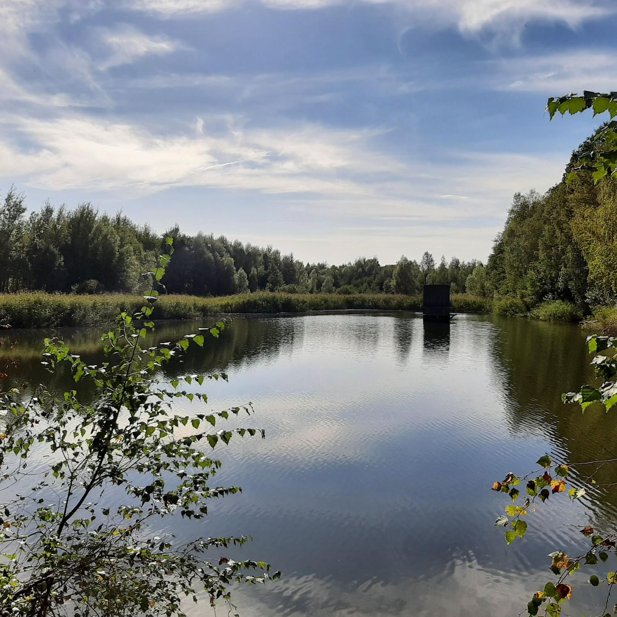
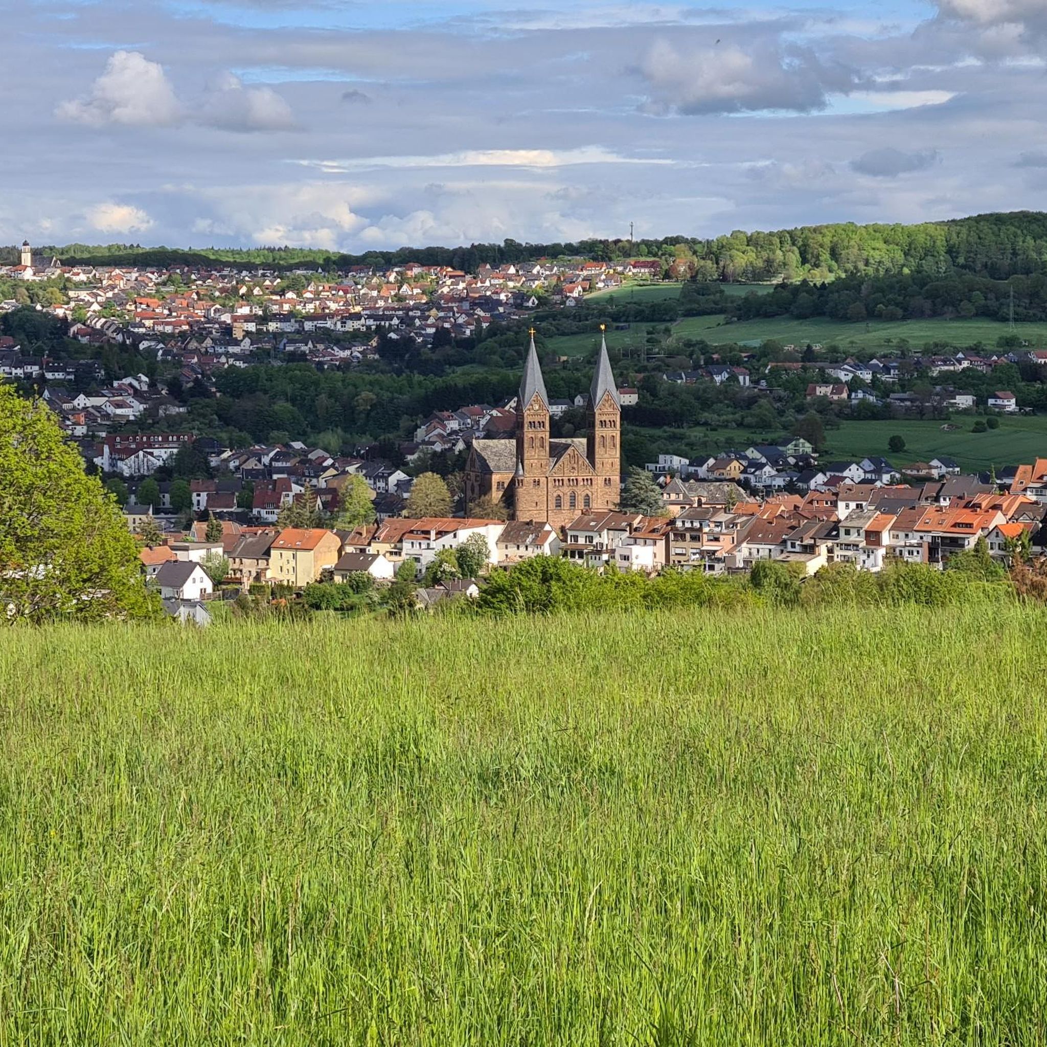
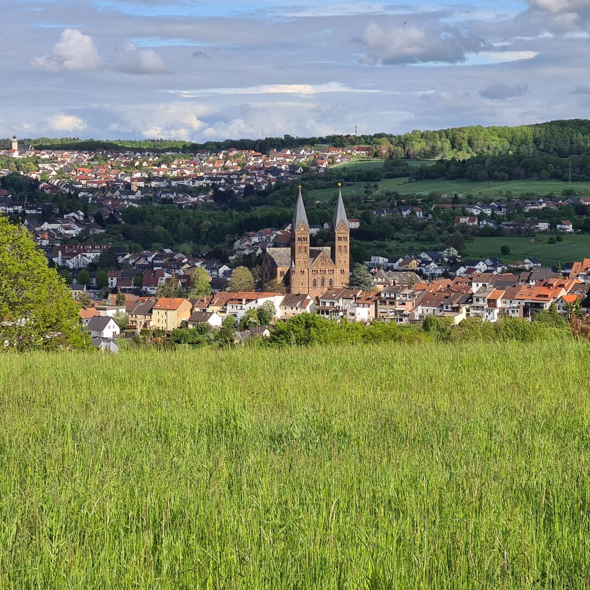
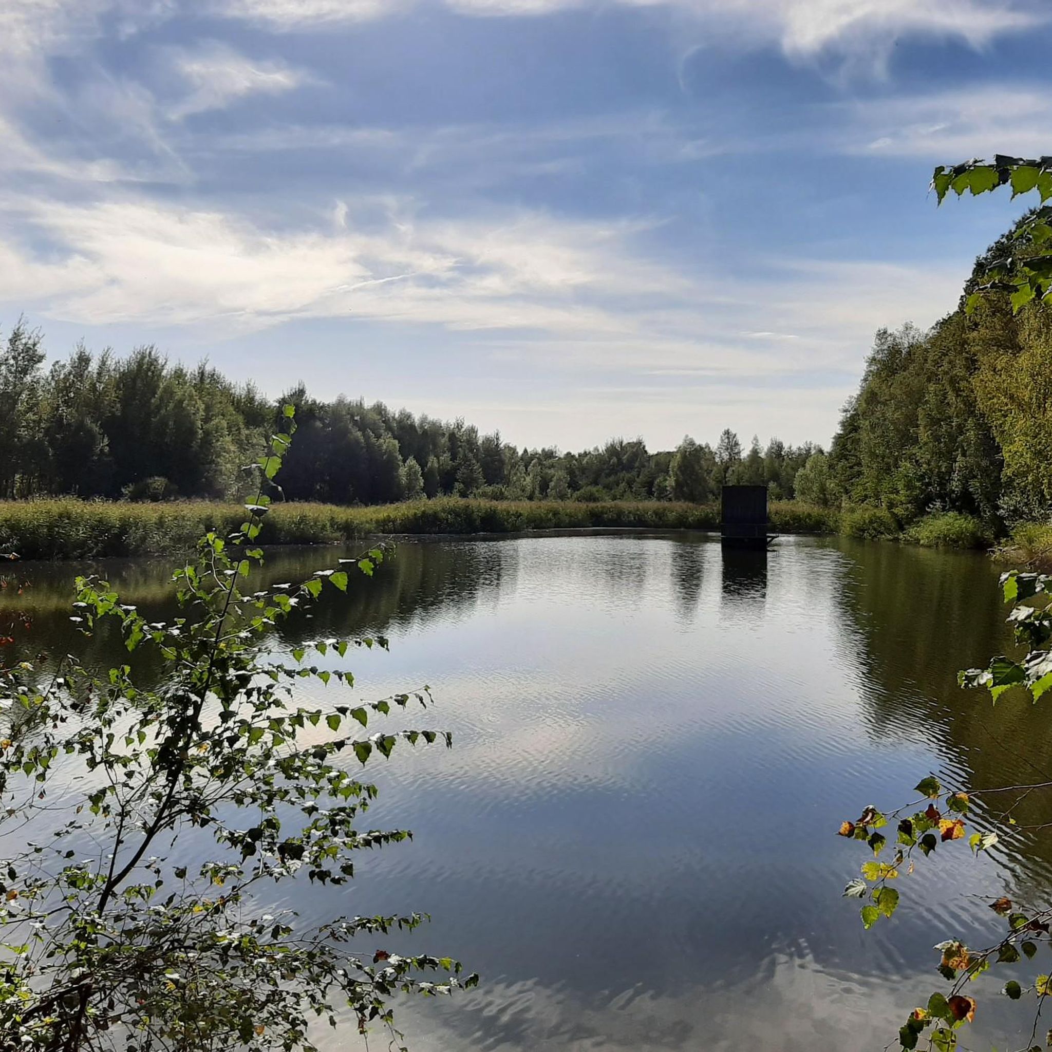
Tips from the Community

Impassable in winter without an (e)-MTB. The mud ends higher up, though.
0
0

This is the highest point of Hirtel.
0
1

The path up is quite steep. You can only get up by pushing. Even with a very rough profile, there is a lack of grip.
0
0

Sunrise experience at its finest!! All-round view and a wonderful peace. A hot air balloon floated in the orange sky, and it was worth getting up at night for
1
0

The descent is steep and requires skill (sandy). We drove up, only possible with an e-bike. It's fun, but very difficult. Steep sections, curvy due to built-in stairs. Whoever arrives at the top without dismounting......hats off.
1
0

A fantastic view over the Saar coal forest.
1
0

The Schwarzenburg Tower is a beautiful observation tower with a magnificent view. You can see large parts of the Saarbrücken urban area and the nearby Saarland University. When the weather is good you have distant views as far as France. You can find information about opening times here: https://www.saarbruecken.de/leben_in_saarbruecken/freizeit/im_gruenen/schwarzenbergturm_st_johann
2
0

a summit that deserves Ramp at 26% 🥵
2
0
Frequently Asked Questions
What are some of the best viewpoints among the mountain peaks near Püttlingen?
The region offers several excellent viewpoints. The Schwarzenberg Tower provides magnificent views over the Saarbrücken urban area and distant sights as far as France. For a panorama of Püttlingen, the Summit Cross on Bergehalde Viktoria is highly recommended. Additionally, the Haldenkreuz Saarkohlewald offers a fantastic view over the Saar coal forest.
What makes the Schwarzenberg Tower a popular peak to visit?
The Schwarzenberg Tower is a 46-meter high observation tower with 241 steps leading to a viewing platform. From here, visitors can enjoy expansive views of the Saarbrücken urban area and even glimpse France on clear days. It's a well-known landmark and a great spot for panoramic photography.
What kind of views can I expect from the Summit Cross on Bergehalde Viktoria?
The Summit Cross on Bergehalde Viktoria offers a beautiful vantage point with a clear panorama of Püttlingen. It's particularly recommended in autumn when the leaves have fallen, allowing for an unobstructed view into the distance. Be aware that the ground can be slippery when wet.
Are there any challenging mountain peaks for experienced hikers in the Püttlingen area?
Yes, the Haldenkreuz Saarkohlewald is known for being a challenging summit. It features a ramp with a 26% incline, and the descent can be steep and sandy, requiring skill. It's a rewarding climb for those seeking a more demanding experience.
Are there family-friendly mountain peaks or walks around Püttlingen?
The Josef Chapel at Hirteler Cross is located on a popular hiking trail and is considered family-friendly. It offers outdoor benches to linger and enjoy the views. While not a mountain peak in the traditional sense, it's an elevated point suitable for families.
When is the best time of year to visit the mountain peaks around Püttlingen?
Autumn is often recommended, especially for places like the Summit Cross on Bergehalde Viktoria, as the fallen leaves allow for clearer distant views. However, the Schwarzenberg Tower is open year-round, with extended hours from April to October, making it accessible in most seasons.
Can I visit the Schwarzenberg Tower during winter?
Yes, the Schwarzenberg Tower is open daily from November 1st to March 31st, typically from 8 AM to 6 PM. This allows for winter visits, though it's always advisable to check for any specific holiday closures or weather-related updates.
What kind of natural features can I expect to see on these peaks?
The peaks around Püttlingen offer a mix of natural high points and elevated structures. You'll find forested hills, panoramic views over the Saar coal forest, and glimpses of the varied topography that includes former mining landscapes. Many peaks are integrated into local trails, providing a blend of natural scenery and historical industrial heritage.
Are there easy hiking trails near the mountain peaks around Püttlingen?
Yes, there are several easy hiking routes nearby. For example, the "Wayside Cross – Jesus Statue at Köllerbach loop from Püttlingen" and the "Absinkweiher Frommersbach – View of Schlammweiher loop from Bergehalde Viktoria" are both rated as easy. You can find more options in the Easy hikes around Püttlingen guide.
What other outdoor activities can I do near these mountain peaks?
Beyond exploring the peaks themselves, the Püttlingen area offers various outdoor activities. You can find numerous hiking trails, including moderate options like the "Simschel Pond – Simschel Waterworks loop from Püttlingen." For runners, there are dedicated running trails such as the "Cycle path – Oweiher Pond and Playground loop from Püttlingen." Explore more in the Hiking around Püttlingen and Running Trails around Püttlingen guides.
Are there any circular walks that include mountain peaks in the Püttlingen area?
Many of the hiking routes in the area are designed as loops, allowing for circular walks. For instance, the "Wayside Cross – Jesus Statue at Köllerbach loop from Püttlingen" and the "Absinkweiher Frommersbach – View of Schlammweiher loop from Bergehalde Viktoria" are circular and can be combined with visits to nearby elevated points. Check the Hiking around Püttlingen guide for more options.
What is the Highest Point of Bilsdorf, and what can I expect there?
The Highest Point of Bilsdorf is marked by a 1.5-meter high basalt block weighing 2.8 tons. It's a summit and viewpoint, often noted by hikers on the Nalbacher Dreigipfeltour. While not a towering peak, it offers a distinct marker of the highest elevation in the locality, with a sign indicating its significance.
Most popular routes around Püttlingen
Most popular attractions around Püttlingen

Get inspired with the komoot mobile app


Explore more
See even more amazing summits around Püttlingen with these guides:
