The best road cycling routes in Sámara
4.0
(1)
38
riders
5
rides
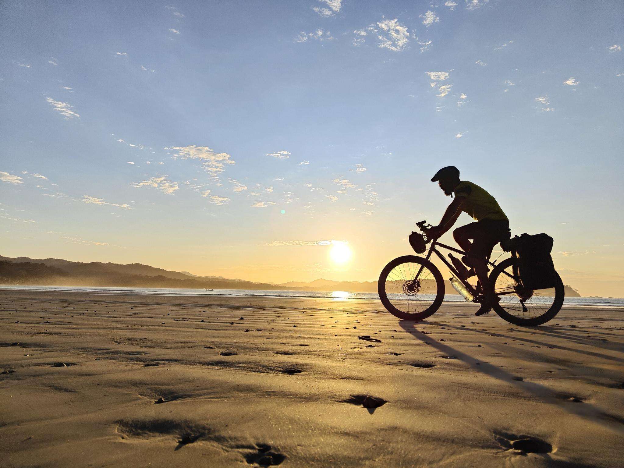
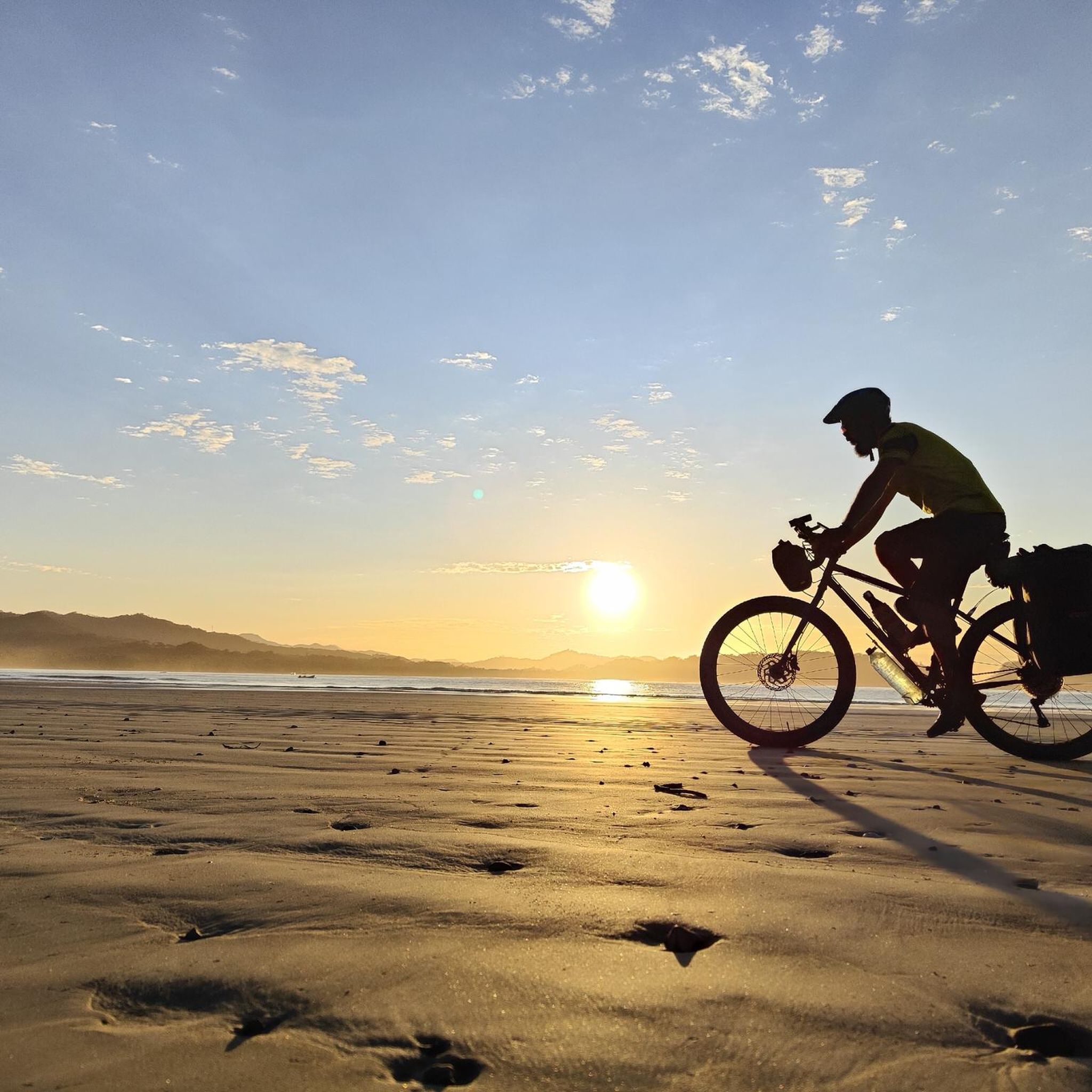
Road cycling routes in Sámara, Costa Rica, traverse a diverse landscape on the Nicoya Peninsula. The region features a mix of coastal roads, tropical dry forests, and rolling hills. Cyclists encounter both paved and unpaved sections, with routes often leading through areas with elevated terrain. The varied topography provides options for different skill levels, from moderate paths to more challenging climbs.
Best road cycling routes in Sámara
- The most popular road cycling route is Pico Verde Real loop from Nosara…
Last updated: July 2, 2026
17
riders
70.9km
03:11
570m
570m
Moderate road ride. Good fitness required. Some segments of this route may be unpaved and difficult to ride.
4.0
(1)
5
riders
61.6km
03:10
990m
990m
Hard road ride. Very good fitness required. Mostly well-paved surfaces and easy to ride.

Sign up for free
5
riders
66.8km
04:18
1,510m
1,510m
Hard road ride. Very good fitness required. Some segments of this route may be unpaved and difficult to ride.
7
riders
37.1km
02:03
330m
330m
Moderate road ride. Good fitness required. Some segments of this route may be unpaved and difficult to ride.
4
riders
99.3km
05:21
1,810m
1,810m
Hard road ride. Very good fitness required. Some segments of this route may be unpaved and difficult to ride.
Our route recommendations are based on thousands of hikes, rides, and runs completed by other people on komoot.
Start today with a free account
Your next adventure awaits.
Login or Signup
Popular around Sámara

Frequently Asked Questions
How many road cycling routes are available in Sámara?
Sámara offers a selection of 5 road cycling routes, catering to various skill levels. These routes explore the diverse landscapes of the Nicoya Peninsula.
What kind of terrain can I expect on Sámara's road cycling routes?
Sámara's road cycling routes feature a mix of coastal roads, tropical dry forests, and rolling hills. While many sections are paved, some routes may include unpaved segments, providing a dynamic cycling experience. Expect varied topography with options for different ability levels, including routes with significant elevation changes.
What is the best time of year for road cycling in Sámara?
The dry season, typically from December to April, is generally considered the best time for road cycling in Sámara. During this period, you can expect more consistent weather and drier trail conditions. The rainy season (May to November) can bring more challenging conditions due to potential mud and heavier rainfall.
Are there challenging road cycling routes in Sámara?
Yes, Sámara offers several challenging road cycling routes with significant elevation gains. For instance, the Playa Pelada loop from Visual Pacific is a difficult 41.5-mile (66.8 km) trail with over 1500 meters of elevation gain. Another demanding option is the Pico Verde Real – Mirador de Carrillo loop from La Alianza, which covers nearly 100 km with over 1800 meters of climbing.
Are there any easy or family-friendly road cycling routes in Sámara?
While many routes in Sámara feature moderate to difficult terrain, some sections or shorter loops might be more suitable for families or those seeking an easier ride. The region's diverse network offers options, but it's always recommended to check the route details for distance and elevation before heading out. For current information on family-friendly routes, you can explore the available tours on komoot.
What natural features or landmarks can I see while road cycling in Sámara?
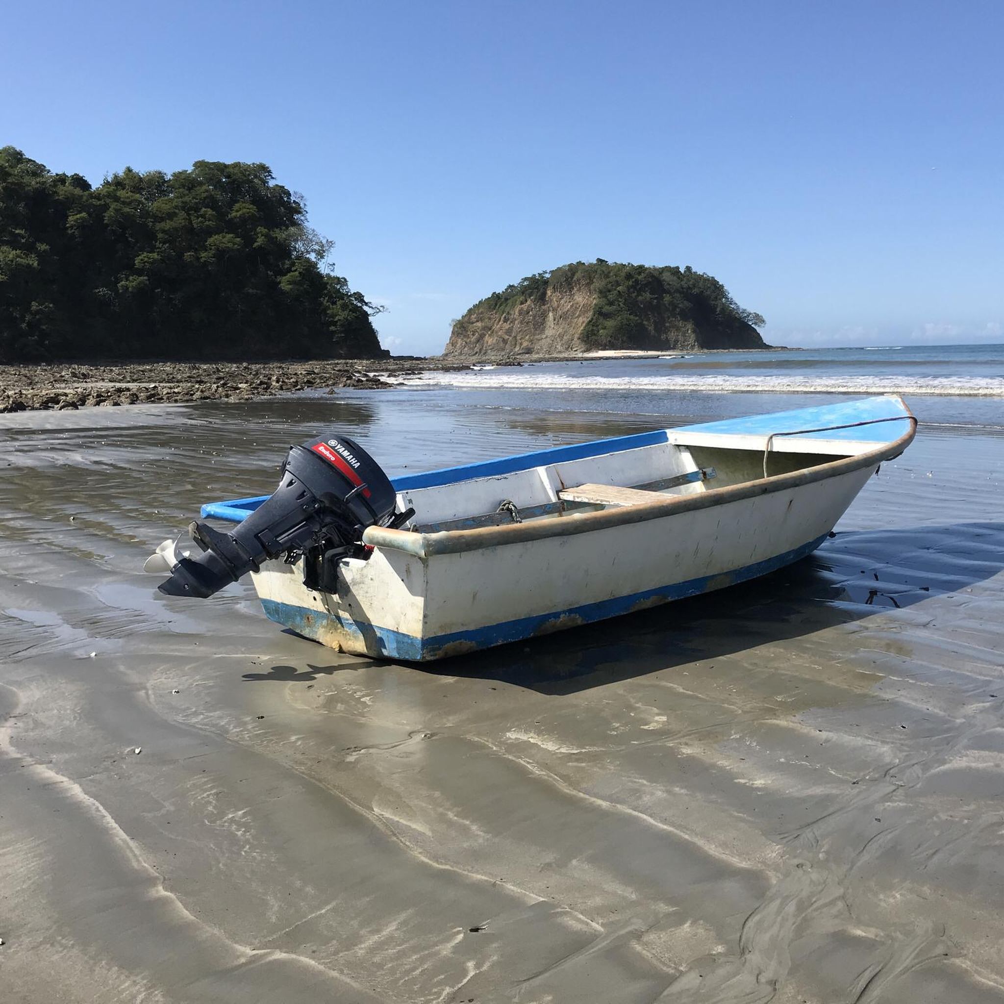
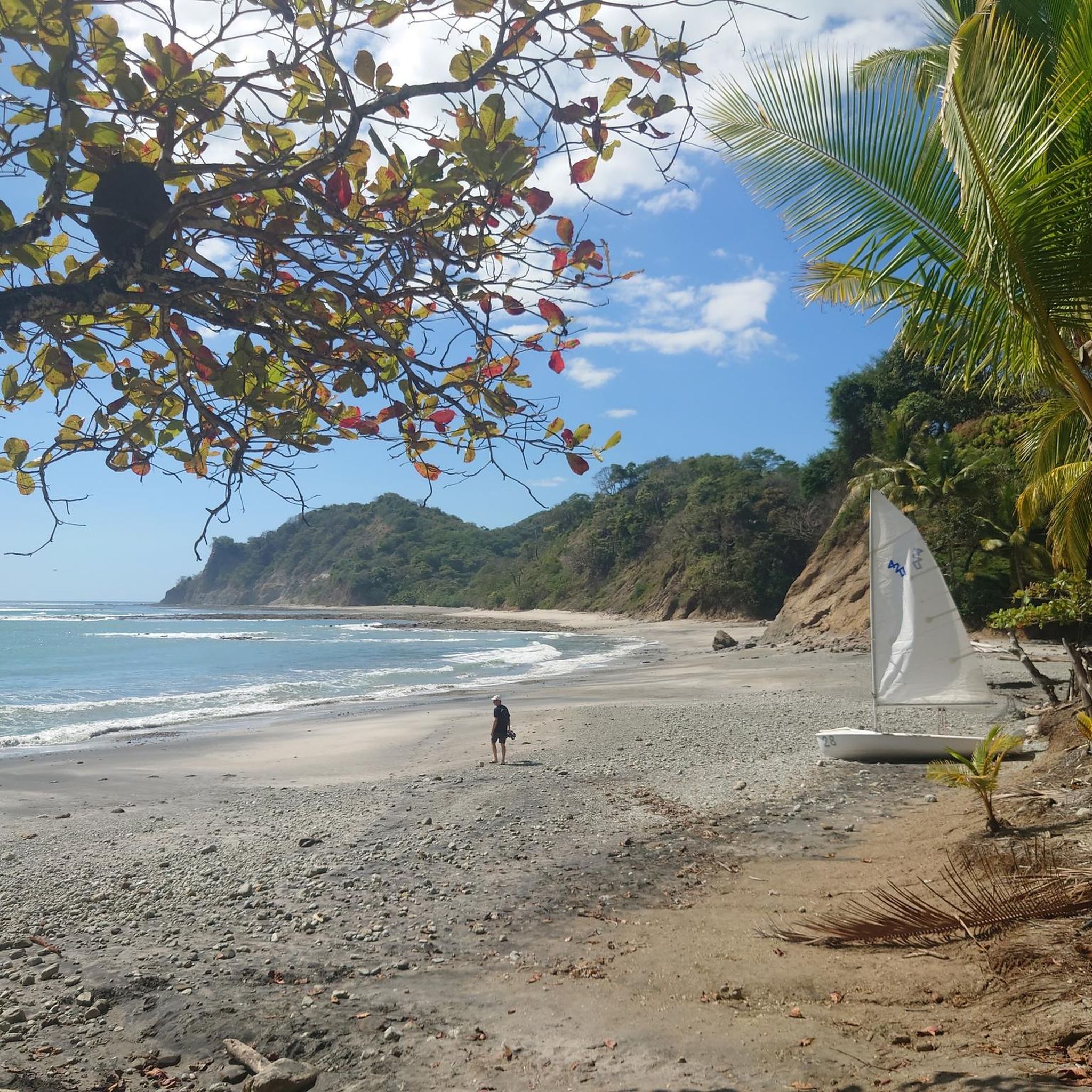
Road cycling in Sámara offers stunning coastal panoramas and views of tropical dry forests. You might pass by beautiful beaches like Playa Carrillo or Playa Pelada. The routes also provide opportunities to see the Ora River and its mangrove ecosystems, and potentially spot wildlife in the surrounding lush forests. Some routes offer elevated viewpoints for breathtaking vistas of the coastline and hills.
Are there any waterfalls accessible near Sámara's cycling routes?
Yes, a short drive from Sámara leads to the refreshing Belen Waterfall. While not directly on a specific road cycling route, it's a popular natural attraction in the region where you can cool off and enjoy natural pools, making it a great post-ride destination.
Are there circular road cycling routes in Sámara?
Yes, many of Sámara's road cycling routes are designed as loops, allowing you to start and end at the same point. Examples include the Pico Verde Real loop from Nosara Airport and the Mirador de Carrillo – vista a Islita loop from Puerto Carrillo. These circular routes are convenient for exploration without needing to retrace your path.
Is parking available near the road cycling routes in Sámara?
Parking availability varies depending on the specific starting point of each route. Many popular beaches and towns like Sámara and Puerto Carrillo offer public parking areas. For routes starting from specific locations, it's advisable to check local parking options beforehand. Generally, you can find parking in the main towns or near popular access points.
Can I access Sámara's road cycling routes using public transport?
Sámara has a local public transport system, primarily buses, that connects it to nearby towns and some coastal areas. While public transport can get you to general starting points, direct access to every specific route trailhead might be limited. It's best to plan your route and check bus schedules and stops in relation to your desired cycling start point.
Are permits required for road cycling in Sámara?
Generally, permits are not required for road cycling on public roads and established routes in Sámara, Costa Rica. However, if you plan to cycle through private property or specific protected areas, it's always best to inquire locally or check with the relevant authorities for any specific access requirements or fees.
Are Sámara's road cycling routes suitable for dogs?
While Sámara is generally dog-friendly, specific road cycling routes may not be ideal for dogs due to traffic, unpaved sections, or lack of shade. If you plan to cycle with your dog, consider shorter, less trafficked routes and ensure your dog is accustomed to cycling alongside you. Always carry enough water for both of you and be mindful of local regulations regarding dogs in public areas and on beaches.
What do other cyclists say about road cycling in Sámara?
The road cycling routes in Sámara are highly rated by the komoot community, with an average score of 4.0 stars. Cyclists often praise the region's diverse terrain, from coastal roads to rolling hills, and the stunning natural beauty encountered along the way. The mix of paved and unpaved sections provides a varied and engaging experience for those looking to explore the Nicoya Peninsula.
What should I wear for road cycling in Sámara?
Given Sámara's tropical climate, lightweight, breathable, and moisture-wicking cycling apparel is recommended. Sun protection is crucial, so wear sunscreen, sunglasses, and a cycling cap or helmet with good ventilation. During the rainy season, a light, packable rain jacket might be useful. Always bring plenty of water to stay hydrated.
Most popular routes in Sámara
Most popular attractions in Sámara

Get inspired with the komoot mobile app


Explore more
Browse the best Road cycling routes in other regions.
