The best MTB trails in Dulce Nombre
4.7
(90)
478
riders
26
rides
Mountain bike trails in Dulce Nombre, located in Costa Rica's Cartago Province, offer diverse terrain for outdoor enthusiasts. The region is characterized by natural scenery and monuments, with an average altitude of 1340 meters above sea level. This varied geography provides a range of routes suitable for different skill levels, from leisurely rides to challenging ascents. Dulce Nombre's landscapes include natural features that enhance the mountain biking experience.
Best mountain bike trails in Dulce Nombre
- The most popular mountain bike…
Last updated: July 2, 2026
4.8
(25)
90
riders
Moderate mountain bike ride. Good fitness required. Suitable for all skill levels.
4.8
(20)
71
riders
33.7km
02:22
640m
640m
Moderate mountain bike ride. Good fitness required. Suitable for all skill levels.

Sign up for free
4.6
(10)
53
riders
54.4km
04:22
1,240m
1,240m
Hard mountain bike ride. Very good fitness required. Suitable for all skill levels.
5.0
(5)
27
riders
37.0km
02:32
620m
620m
Moderate mountain bike ride. Good fitness required. Suitable for all skill levels.
5.0
(5)
27
riders
30.1km
01:45
270m
270m
Easy mountain bike ride. Great for any fitness level. Suitable for all skill levels.
Get access to more routes and recommendations from other explorers.
Sign up for free
Already have an account?
Our route recommendations are based on thousands of hikes, rides, and runs completed by other people on komoot.
Start today with a free account
Your next adventure awaits.
Login or Signup

Tips from the Community

Known as the monkey loop. Sometimes you have to slow down to avoid missing the scenery.
0
0

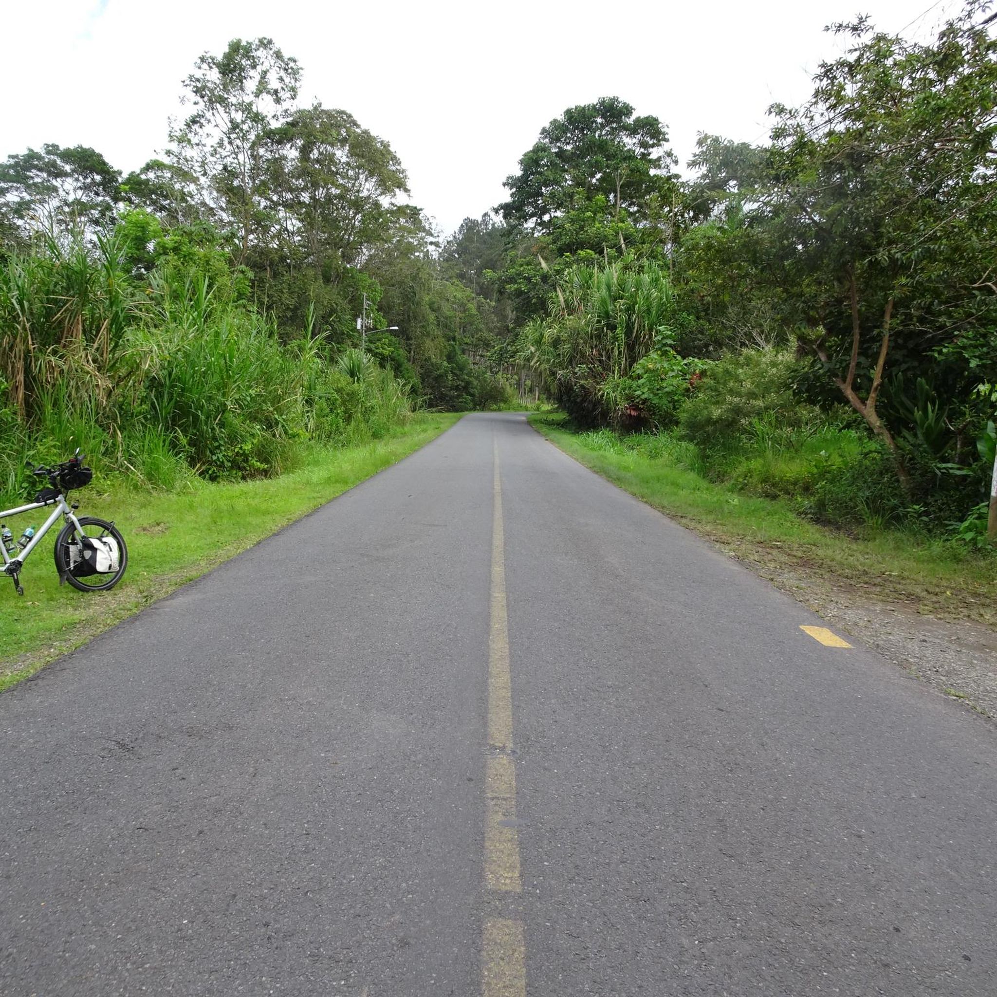
Bad road but perfect for mountain biking. Very technical route
0
0

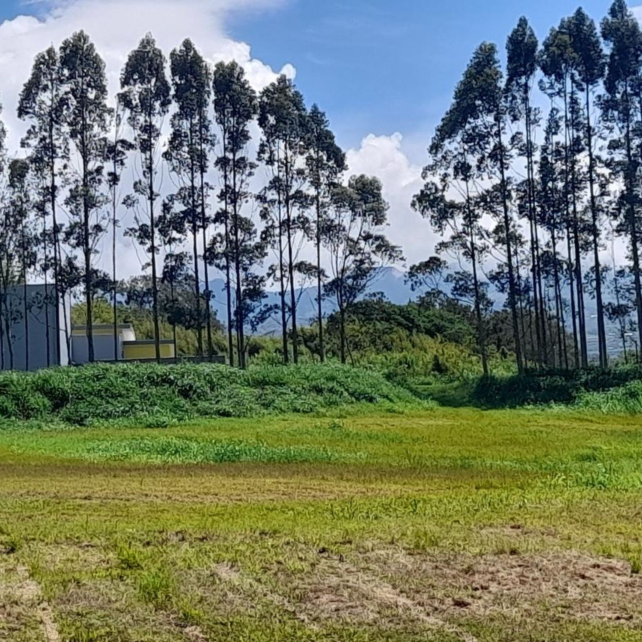
Going in the summer helps you appreciate the place.
0
1
The place is very spacious, it is recommended to go in summer for good photos, completely pedalable. You can see the video "Basilica de los Angeles" on our Official Channel "BIKERS COSTA RICA" https://www.facebook.com/reel/1191863962050845
0
1
It's almost there. a little ballast and ends on pavement all the way up
0
0

Viewpoint on the lake and the dam a little further on
0
0
Frequently Asked Questions
How many mountain bike trails are there in Dulce Nombre?
Dulce Nombre offers a wide selection of mountain bike trails, with over 25 routes available for exploration. These trails cater to various skill levels, from easy to difficult, ensuring there's something for every rider.
What kind of terrain can I expect on mountain bike trails in Dulce Nombre?
The terrain in Dulce Nombre is quite varied, characterized by its natural scenery and monuments. With an average altitude of 1340 meters above sea level, you can expect a mix of ascents and descents, offering both challenging sections and more leisurely rides through picturesque landscapes.
Are there any easy mountain bike trails suitable for beginners in Dulce Nombre?
Yes, Dulce Nombre has several easy mountain bike trails. For instance, the Quijongo El Guarco – Quebradilla Crossing loop from Los Ángeles is an easy 30.1 km route that offers a more relaxed riding experience.
What are some challenging mountain bike routes for experienced riders in Dulce Nombre?
Experienced riders looking for a challenge will find several difficult routes. The La Estrella – The Yellow Bus loop from Cartago is a demanding 53.0 km trail with significant elevation gain, often taking over 4 hours to complete.
Are there any circular mountain bike routes in Dulce Nombre?
Many of the mountain bike trails in Dulce Nombre are designed as loops, allowing you to start and finish at the same point. Examples include the View of Ujarrás and Cachí Dam – Cachí artificial lake loop from Los Ángeles and the Orosi Viewpoint – Rio Orosi Suspension Bridge loop from Cartago.
What natural landmarks or viewpoints can I see along the mountain bike trails?
Dulce Nombre is rich in natural scenery. Along the trails, you might encounter natural monuments like the Tree Ferns on Tapantí Rainforest Trail or the Waterfall in Reserva Forestal Los Santos. The Orosi Viewpoint – Rio Orosi Suspension Bridge loop from Cartago specifically offers views from Orosi Viewpoint and crosses the Rio Orosi Suspension Bridge.
Are there any waterfalls accessible from the mountain bike trails in Dulce Nombre?
Yes, the region features beautiful waterfalls. You can find the Waterfall in Reserva Forestal Los Santos and the San Gerardo de Dota Waterfall among the nearby natural attractions, offering scenic stops during your ride.
What do other mountain bikers enjoy most about mountain biking in Dulce Nombre?
The mountain bike trails in Dulce Nombre are highly rated by the komoot community, with an average score of 4.7 stars from over 80 reviews. Riders often praise the diverse terrain, the beautiful natural scenery, and the variety of routes suitable for different ability levels.
Is Dulce Nombre a good destination for family-friendly mountain biking?
Dulce Nombre offers routes suitable for various skill levels, including easier trails that can be enjoyed by families. While specific 'family-friendly' designations aren't always explicit, looking for routes marked as 'easy' will provide a more suitable option for a family outing.
What is the best time of year to go mountain biking in Dulce Nombre?
Dulce Nombre's climate, typical of Costa Rica's Cartago Province, generally offers pleasant conditions for outdoor activities. While specific seasonal recommendations for mountain biking aren't detailed, the region's natural beauty can be enjoyed year-round, though it's always wise to check local weather forecasts before heading out.
Are there options for parking near the mountain bike trails in Dulce Nombre?
While specific parking facilities for each trail are not detailed, many routes start from towns or accessible points where parking can typically be found. It is advisable to check the starting point of your chosen route on komoot for more precise parking information.
Can I reach the mountain bike trails in Dulce Nombre using public transport?
Dulce Nombre is located in the Cartago Province, and public transport options to and within the region exist. However, direct access to specific trailheads via public transport may vary. Planning your route on komoot can help identify the closest public transport stops to your desired starting point.
Are there any cafes or places to eat near the mountain bike trails in Dulce Nombre?
As a district within Cartago Province, Dulce Nombre and its surrounding areas offer local amenities. While specific cafes directly on trailheads are not listed, you can typically find places to eat and drink in nearby towns or villages, especially around popular starting points for routes.
Most popular attractions in Dulce Nombre

Get inspired with the komoot mobile app


Explore more
Browse the best MTB trails in other regions.
