The best cycling routes in Santa Isabel
5.0
(1)
25
riders
6
rides
Touring cycling in Santa Isabel, Colombia, is characterized by its high-altitude Andean landscapes and challenging terrain. The region features dramatic mountain ranges, including routes leading towards Nevado Santa Isabel, and diverse ecosystems ranging from tropical forests to paramo. Cyclists can expect significant elevation changes, rugged sections, and unpaved paths, often at altitudes above 13,000 feet (4,000 meters). This environment provides a demanding yet rewarding experience through unique natural settings.
Best touring cycling routes in Santa Isabel
- The most popular touring…
Last updated: July 1, 2026
5
riders
76.8km
04:36
480m
480m
Hard bike ride. Very good fitness required. Mostly paved surfaces. Suitable for all skill levels.
5
riders
36.1km
02:29
470m
470m
Hard bike ride. Very good fitness required. Mostly paved surfaces. Suitable for all skill levels.

Sign up for free
5
riders
55.4km
03:28
510m
510m
Hard bike ride. Very good fitness required. Mostly paved surfaces. Suitable for all skill levels.
4
riders
76.3km
05:17
440m
440m
Hard bike ride. Very good fitness required. Mostly paved surfaces. Suitable for all skill levels.
3
riders
42.1km
02:58
400m
400m
Moderate bike ride. Good fitness required. Mostly paved surfaces. Suitable for all skill levels.
Our route recommendations are based on thousands of hikes, rides, and runs completed by other people on komoot.
Start today with a free account
Your next adventure awaits.
Login or Signup
Popular around Santa Isabel
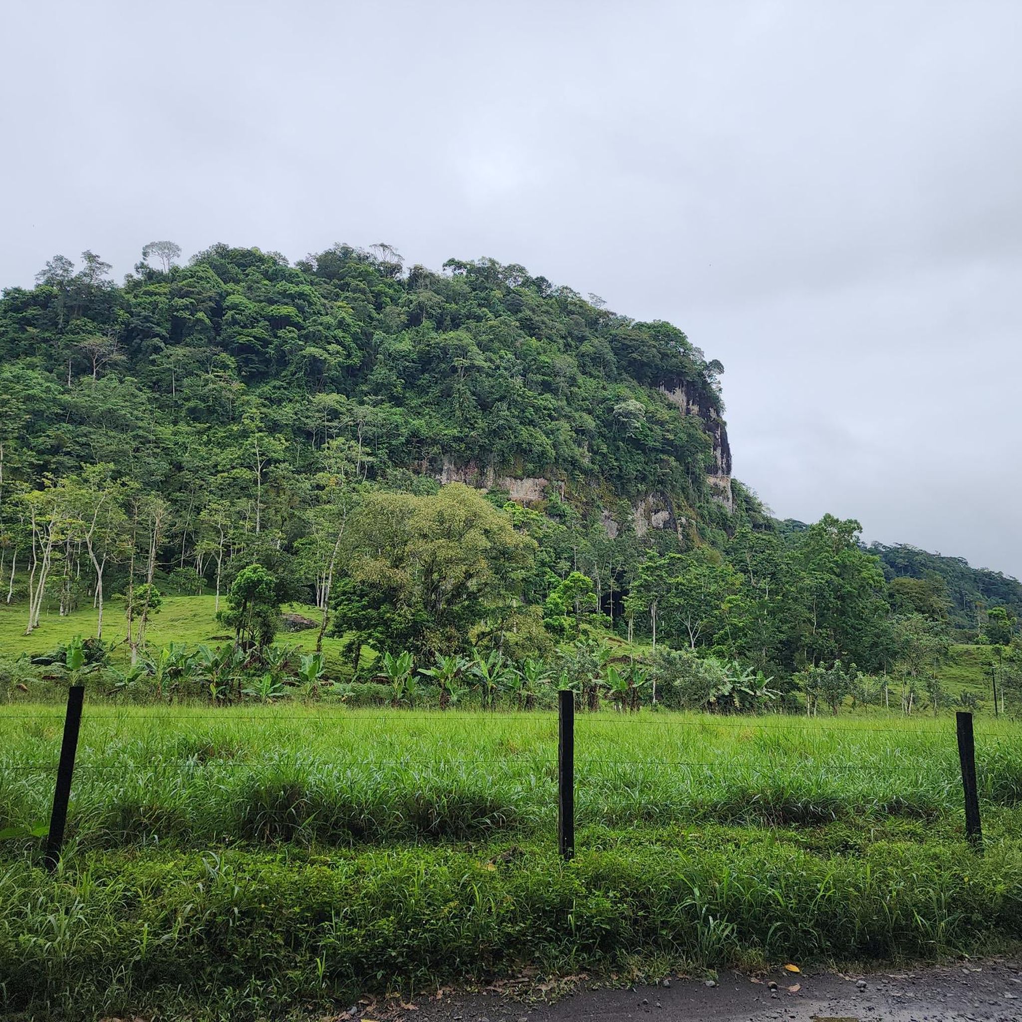
Tips from the Community

The girl insisted on Going Out Modeling the town 😅. Either way
0
0
Frequently Asked Questions
How many touring cycling routes are available in Santa Isabel?
There are 5 touring cycling routes detailed in this guide for Santa Isabel, Colombia. These routes offer a range of experiences, from moderate loops to challenging high-altitude rides.
Are there any easy or beginner-friendly touring cycling routes in Santa Isabel?
While many routes in Santa Isabel are challenging due to the high-altitude and rugged terrain, there is 1 route categorized as easy. However, the guide data shows 2 moderate routes and 2 difficult routes, indicating that most options require a good level of fitness and experience. For a moderate option, consider the Pital loop from Manantial, which is 26.2 miles (42.1 km) long.
What kind of terrain can I expect on touring cycling routes in Santa Isabel?
Touring cycling in Santa Isabel, Colombia, is characterized by dramatic high-altitude Andean landscapes. You can expect significant elevation changes, rugged sections, and unpaved paths, often at altitudes above 4,000 meters. The terrain can include steep slopes, mud, and rocky or sandy paths, traversing diverse ecosystems from tropical forests to paramo.
Are there any circular touring cycling routes in Santa Isabel?
Yes, several routes in Santa Isabel are designed as loops. For example, the popular San Carlos River loop from Pegón is a difficult 47.7-mile (76.8 km) route. Another option is the Aguas Zarcas loop from Viento Fresco, a difficult 35.2-mile (56.6 km) ride.
What are some of the more challenging touring cycling routes in Santa Isabel?
For experienced cyclists seeking a challenge, Santa Isabel offers several difficult routes. The San Carlos River loop from Pegón is a demanding 47.7-mile (76.8 km) trail with substantial elevation gain. Another difficult option is the Venecia Sign – Pital loop from Pital, covering 22.3 miles (36.0 km) with notable climbs and descents.
What can I see or explore along the touring cycling routes in Santa Isabel?
The region is a gateway to Los Nevados National Park, offering breathtaking vistas of high-mountain ecosystems. While cycling, you might encounter views of the majestic Nevado Santa Isabel glacier. Nearby attractions include the Pozo Azul Waterfall and the Sarapiquí Lodge and Rainforest Reserve, which showcase the region's natural beauty.
What is the typical duration for touring cycling routes in Santa Isabel?
The duration of routes varies significantly based on distance and difficulty. For instance, the San Carlos River loop from Pegón typically takes around 4 hours 36 minutes, while the Pital loop from Manantial can be completed in about 2 hours 58 minutes. Keep in mind that these are estimated times and actual duration will depend on your pace and stops.
What should I bring for touring cycling in Santa Isabel?
Given the high-altitude, varied ecosystems, and potential for rugged terrain, it's advisable to be well-prepared. Essential items include appropriate layers for changing weather conditions (from tropical forest to paramo), sufficient water and snacks, navigation tools, a repair kit for your bike, and sun protection. Consider a touring bike suitable for unpaved and challenging surfaces.
What do other touring cyclists enjoy most about cycling in Santa Isabel?
The komoot community appreciates the unique challenge and stunning natural beauty of Santa Isabel. Cyclists often praise the dramatic Andean landscapes, the opportunity to experience diverse ecosystems, and the rewarding feeling of completing routes with significant elevation changes in a high-altitude environment. Over 20 touring cyclists have used komoot to explore this region.
Is Santa Isabel suitable for family-friendly touring cycling?
Due to the prevalence of high-altitude, rugged terrain, and significant elevation changes, many routes in Santa Isabel are more suited for experienced cyclists. While there is 1 easy route, families with younger children or those seeking very gentle rides might find the options limited. It's recommended to carefully review route details and difficulty before planning a family outing.
What are the weather conditions like for touring cycling in Santa Isabel?
Santa Isabel, Colombia, features diverse ecosystems ranging from tropical forests to paramo and super-paramo environments, especially as you approach Nevado Santa Isabel. This means weather can change rapidly and vary significantly with altitude. Expect cooler temperatures and potentially strong winds at higher elevations, even if it's warm in the valleys. Be prepared for rain at any time, particularly in cloud forest areas.
Most popular routes in Santa Isabel
Most popular attractions in Santa Isabel

Get inspired with the komoot mobile app


Explore more
Browse the best Cycling routes in other regions.
