The 9 Most Amazing Peaks around Namborn
Best mountain peaks around Namborn are situated within the low wooded mountain range of the Saar-Hunsrück Nature Park. The municipality's highest elevation is the Friedenberg at 509 meters, located in the district of Hirstein. The region is characterized by its extensive natural beauty and offers numerous recreational opportunities, particularly for hiking trails Namborn.
Best mountain peaks around Namborn
- The most popular mountain peaks is Schaumberg Plateau and the Schaumberg Tower, a viewpoint that offers wide views from its summit.…
Last updated: August 10, 2026
Schaumberg Plateau and the Schaumberg Tower
Highlight • Viewpoint
Translated by Google •
Tip by

Schaumberg Viewing Tower
Highlight • Viewpoint
Translated by Google •
Tip by

Sign up now to discover places like this
Get recommendations on the best single tracks, peaks, & plenty of other exciting outdoor places.
Sign up for free
Weiselberg Summit and Steinerne Meer
Highlight • Summit
From a geological point of view, the »Steinernes Meer« is a heap of scree made from weathered material from the Weiselberg. From a geological point of view, this …
Translated by Google •
Tip by

Weinhausköpfchen Hill
Highlight • Viewpoint
Translated by Google •
Tip by

View of Schaumberg from the Old Rheinstraße (Roman Road) Rest Area
Highlight • Viewpoint
Translated by Google •
Tip by

Sign up for free to discover even more peaks around Namborn.
Sign up for free
Already have an account?
Start today with a free account
Your next adventure awaits.
Login or Signup

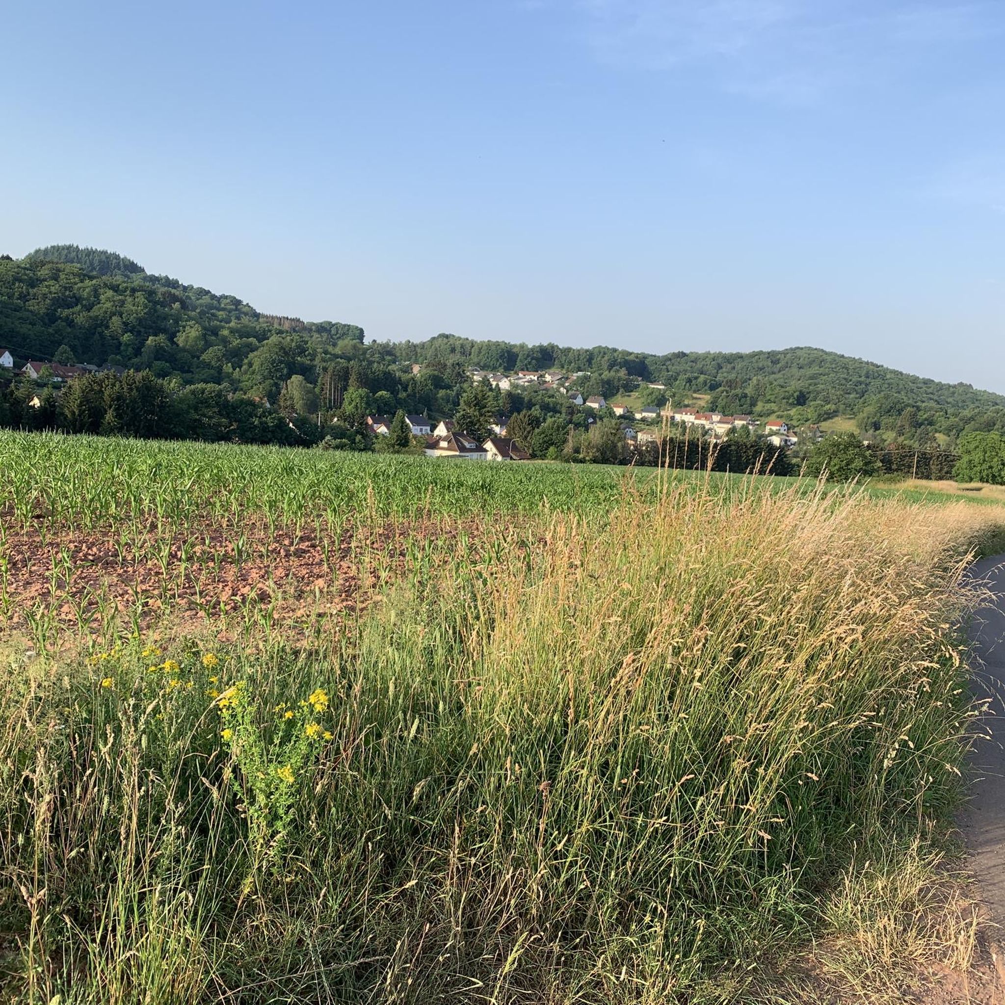
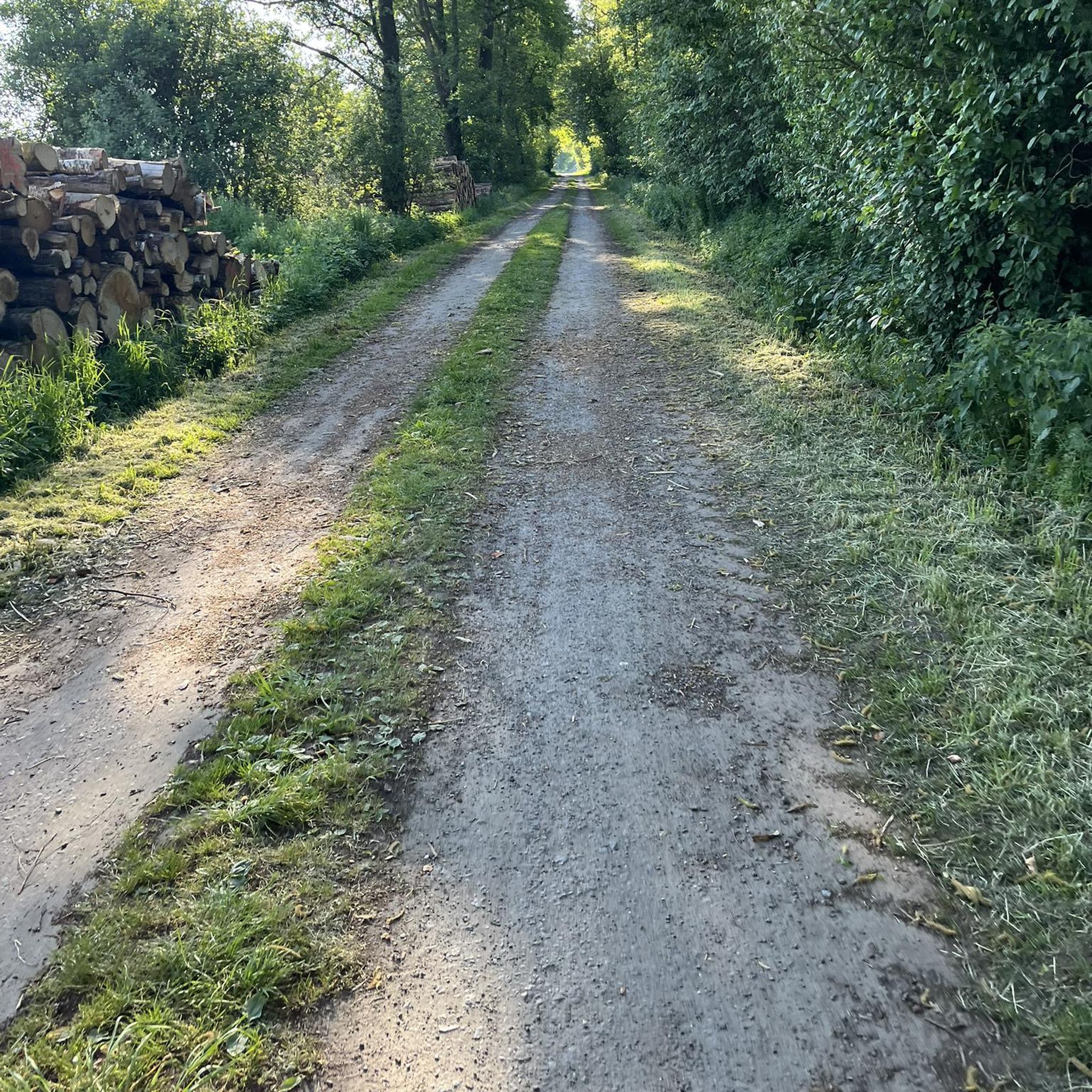
Other adventures around Namborn

Tips from the Community

The "Schaumbergblick" is a popular viewing point and tourist highlight in Saarland, which is especially known for its breathtaking views of the surrounding landscape.
2
0

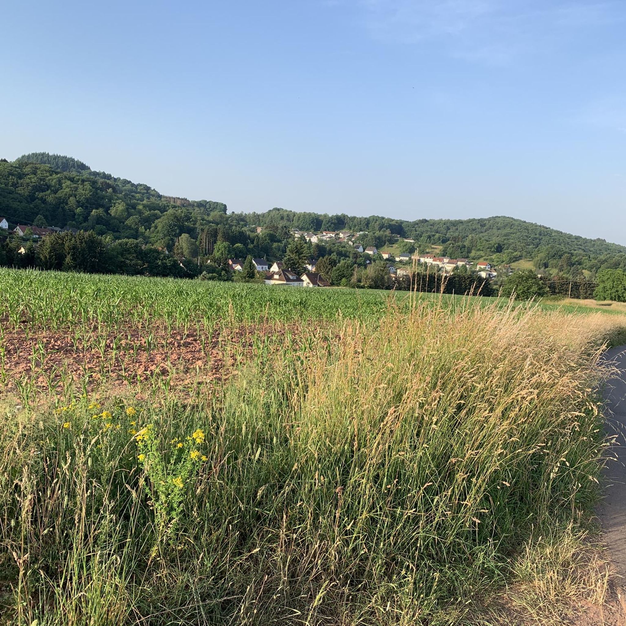
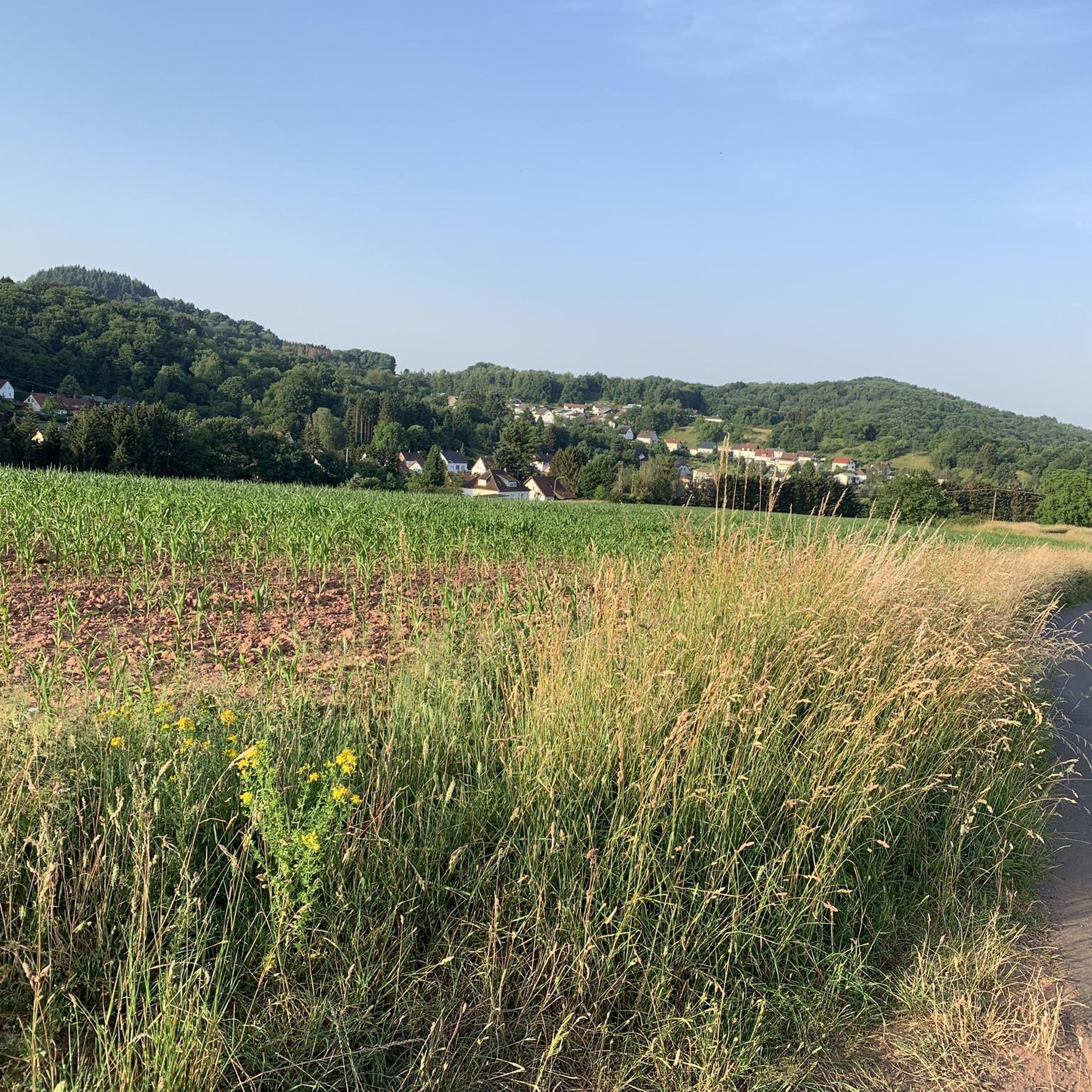
From this point between Winterbach and Alsweiler you have wonderful views in all directions. Not far away you can see the summit of the Schaumberg - not the highest peak in Saarland, but certainly the most famous.
2
1

Of course, when the weather is good, you have a perfect view of the Sankt Wendel region from the 568m high Schaumberg.
5
0

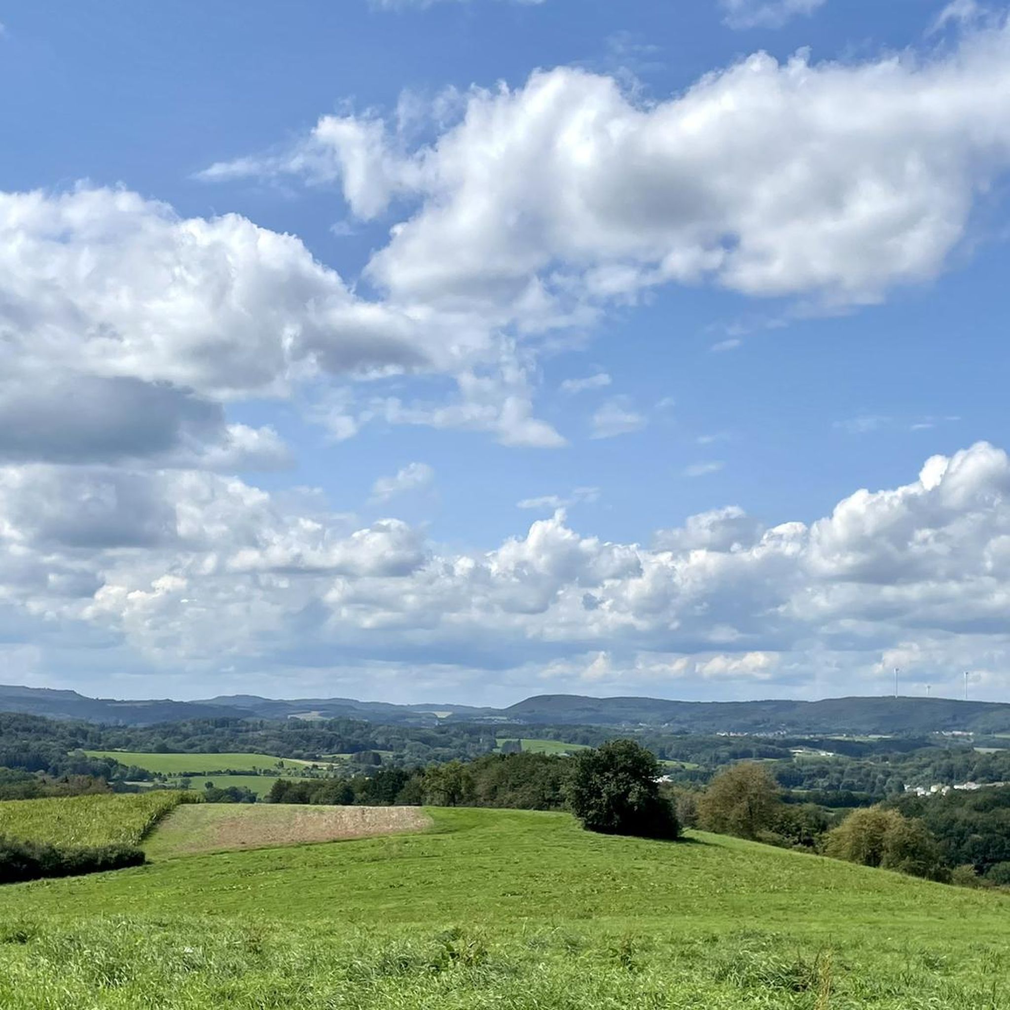
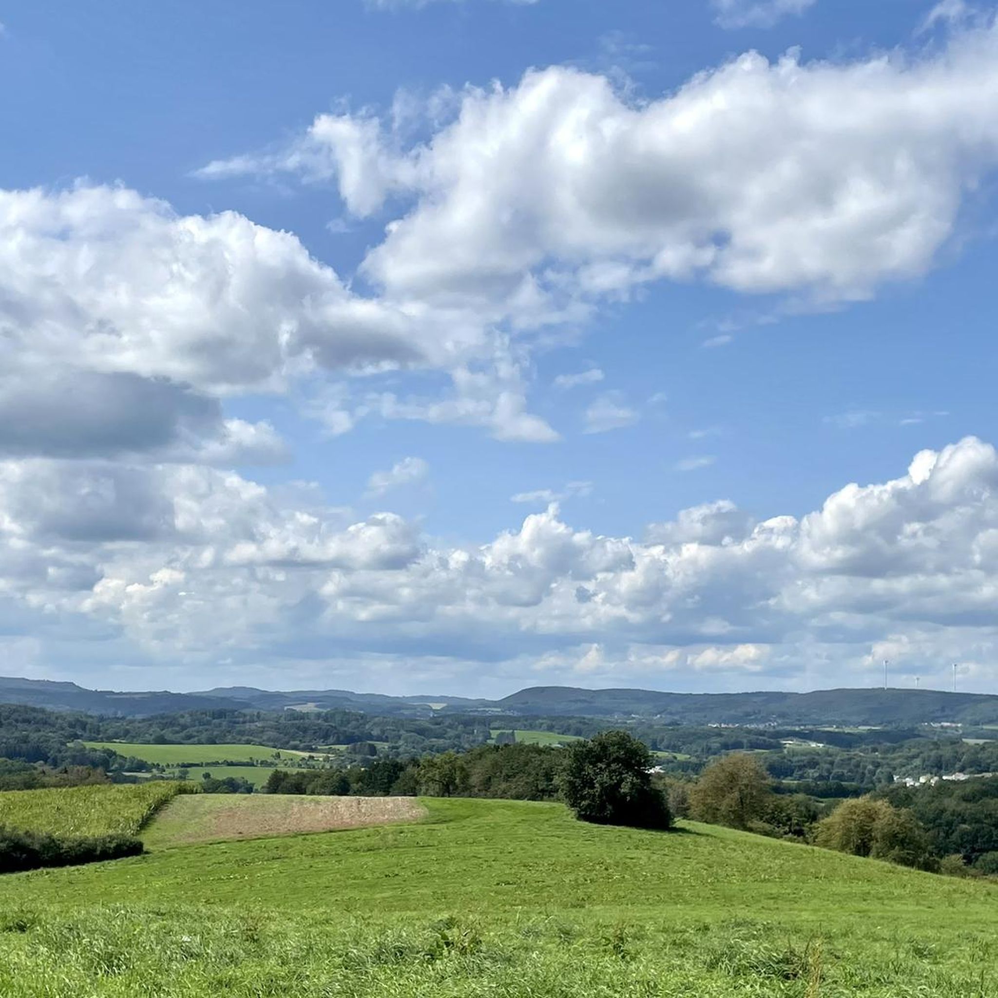
There are really plenty of beautiful views
2
1

Several great views can be enjoyed on the tour.
3
1
Great view of the Schaumberg.
2
0

𝐒𝐭𝐞𝐢𝐧𝐞𝐫𝐧𝐞 𝐌𝐞𝐞𝐫 From a geological point of view, the »Steinernes Meer« is a heap of scree made from weathered material from the Weiselberg. From a geological point of view, this sea of rocks at the foot of the mountain is a work of the Ice Age. The last ice age only ended around 10,000 years ago. Magma rising underground got stuck under the earth's surface and solidified into mostly pentagonal column formations, quite typical of slowly cooling basalt rock. Over the course of millions of years, the surrounding softer sedimentary rock was removed by erosion. In geology, the very hard rock, which shines deep black when cut and is reminiscent of a starry sky with its bright feldspar particles, has been given the name »Weiselbergite«. The frost change climate during this geological epoch caused extreme weathering and erosion processes that were able to separate the blocks and columns weighing several tons from the rock structure. Not least because of the extreme daily temperature fluctuations, the steep southern slope of the Weiselberg with the typical vertical basalt columns offered the best conditions for the formation of the Felsenmeer. The boulders collected on the mountainside and have since been exposed to weathering. Covered with mosses, the »Steinernes Meer« repeatedly gave rise to eerie legends: Whether wild cyclopes played with it or the remains of an enchanted castle are left to the imagination of the observer. The Romans were already digging for agates on the surface of the Weiselberg. From the 15th century, when only little was to be found above ground and a veritable agate boom began, the agate seekers went deep. Some tunnels buried today bear witness to this. After the war there were concrete considerations to dismantle the Weiselberg as a quarry. This was prevented by the designation as a nature reserve in October 1950. In earlier times, the minerals of this region such as agate, chalcedony, jasper and petrified wood were processed in the gemstone metropolis of Idar-Oberstein. 3000 of these precious stones can be viewed in the Mineralogical Museum in the old school in Oberkirchen (0 68 55/332) and in the Mineral Museum (2000 exhibits) in Freisen (0 68 55/13 25). In the Gemstone Dorado in Freisen, treasure hunters can search for gemstones themselves. (0 68 55/1849 31) Source: Text information board
7
0
𝑮𝒆𝒔𝒄𝒉𝒊𝒄𝒉𝒕𝒆 𝑺𝒄𝒉𝒂𝒖𝒎𝒃𝒆𝒓𝒈𝒕𝒖𝒓𝒎 𝒖𝒏𝒅 𝒅𝒆𝒎 𝑲𝒓𝒆𝒖𝒛 𝒃𝒆𝒊 𝑺𝒐𝒕𝒛𝒘𝒆𝒊𝒍𝒆𝒓 In 1914 a tower in honor of Kaiser Wilhelm II was to be built on the mountain plateau. However, the execution of this plan was interrupted by the First World War. Only a 5 m high ruin remained, on which a tower with an integrated war memorial chapel was built from 1927. The larger-than-life crucifix set in the central arch of the tower was striking. This tower had to be demolished in 1972 because it was in disrepair. The undamaged crucifix should be blown up. The construction workers, all from the Catholic villages in the vicinity or of Italian origin, refused to blow up the symbol of faith. The crucifix was removed undamaged, kept for a short time in a shed on the edge of the mountain plateau and later set up not far from the motorway junction near Sotzweiler. Source: Text Wikipedia
10
0
Frequently Asked Questions
What are some of the most notable mountain peaks and viewpoints around Namborn?
The region around Namborn offers several distinctive peaks and viewpoints. The Schaumberg Plateau and the Schaumberg Tower is a popular choice, offering wide views from its summit and housing a permanent exhibition. Another significant spot is the Weiselberg Summit and Steinerne Meer, known for its unique geological formation of scree. You can also enjoy panoramic views from the View of Tholey and the Schaumberg, which overlooks the surrounding area including the volcanic Schaumberg.
What natural features can I expect to see on the mountain peaks near Namborn?
The mountain peaks around Namborn are characterized by their natural beauty within the Saar-Hunsrück Nature Park. You'll find extensive forests, diverse flora and fauna, and unique geological formations. For instance, the Weiselberg Summit features the "Steinernes Meer," a fascinating scree formation resulting from ancient geological processes. The region's low wooded mountain ranges provide a scenic backdrop for all outdoor activities.
Are there family-friendly options among the mountain peaks and trails in Namborn?
Yes, the region offers family-friendly options. The Schaumberg Plateau and the Schaumberg Tower is considered family-friendly and even wheelchair accessible, providing facilities and a restaurant. Many hiking trails in the Saar-Hunsrück Nature Park are also suitable for families, with varying difficulty levels to accommodate different ages and abilities.
What historical sites or cultural elements can be found near Namborn's peaks?
Beyond natural beauty, the region has historical significance. The Schaumberg Tower itself has historical roots, with a memorial for soldiers and serving as a German-French meeting place. The "Schmuggler-Pfad" (Smuggler's Path) hiking trail features old border stones marked with "S" for Saarland and "D" for the German Reich, hinting at its past. Additionally, the ruins of the 12th-century Liebenburg Castle on the Schlossberg offer a visible observation tower with panoramic views.
What is the highest point in Namborn, and how can I experience it?
The highest elevation in Namborn is the Friedenberg, reaching 509 meters in the district of Hirstein. While specific features directly on its summit are not detailed, its allure lies in the surrounding natural beauty and extensive hiking opportunities within the Saar-Hunsrück Nature Park. You can experience the area by exploring the numerous hiking trails that traverse this low wooded mountain range.
What are the best times of year to visit Namborn for hiking and exploring its peaks?
Spring and autumn are particularly recommended for hiking around Namborn due to pleasant temperatures and vibrant natural scenery. During these seasons, the forests and landscapes of the Saar-Hunsrück Nature Park are especially beautiful, offering ideal conditions for exploring the peaks and trails.
Are there specific hiking trails that offer a good experience of the region's mountain peaks?
Absolutely. The "Schmuggler-Pfad" is a first-class hiking trail, a 12.8 km route with moderate difficulty, offering scenic views and historical elements. Another notable route is the Weiselberg Summit Tour, an approximately 16 km trail that leads through a varied hilly landscape around the Weiselberg, featuring light-flooded beech forests, mighty rock formations, and the "Steinernes Meer." You can find more hiking options in the Running Trails around Namborn guide.
What kind of outdoor activities, besides hiking, can I do near the mountain peaks of Namborn?
The area around Namborn offers a variety of outdoor activities. For cycling enthusiasts, there are routes like the Sankt Wendeler Land Cycle Path and the Wendelinus Cycle Path. Mountain biking is also popular, with trails such as those around Lake Bostal. You can find detailed routes for these activities in the Cycling around Namborn guide and the MTB Trails around Namborn guide.
What do visitors particularly enjoy about the mountain peaks and viewpoints in Namborn?
Visitors frequently praise the wide views from summits like the Schaumberg Tower, often highlighting the opportunity for great photography. The unique geological formations, such as the "Steinernes Meer" at the Weiselberg Summit, also captivate visitors. Many appreciate the varied and wild, romantic forests that make for an eventful hiking experience.
Are there any viewpoints that offer extensive panoramic views of the region?
Yes, several viewpoints provide impressive panoramic vistas. The Schaumberg Plateau and the Schaumberg Tower offers wide views, extending to the Hunsrück, Saargau, and even the Vosges on clear days. The View of Tholey and the Schaumberg also provides a broad perspective of the surrounding area, including the distinctive Schaumberg mountain.
Can I find trails with varying difficulty levels around Namborn's peaks?
Yes, the region caters to various fitness levels. While some trails like the Weiselberg Summit Tour are considered challenging due to climbs, many others, including parts of the "Schmuggler-Pfad," are of moderate difficulty. The Saar-Hunsrück Nature Park offers a diverse network of trails, ensuring options for both experienced hikers and those looking for easier walks.
Most popular routes around Namborn
Most popular attractions around Namborn

Get inspired with the komoot mobile app


Explore more
See even more amazing summits around Namborn with these guides:
