The best walks and hikes around Heimenhausen
4.6
(1311)
8,412
hikers
575
hikes
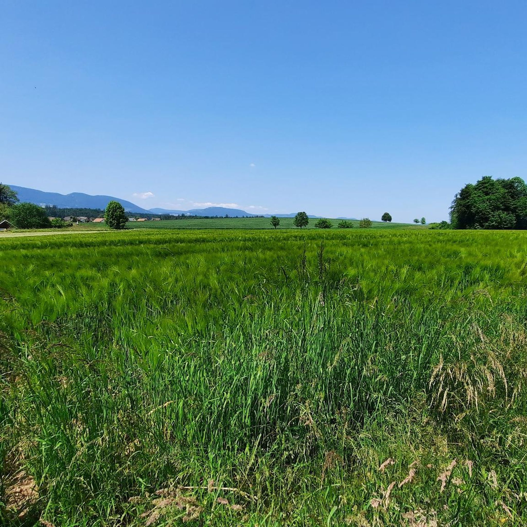
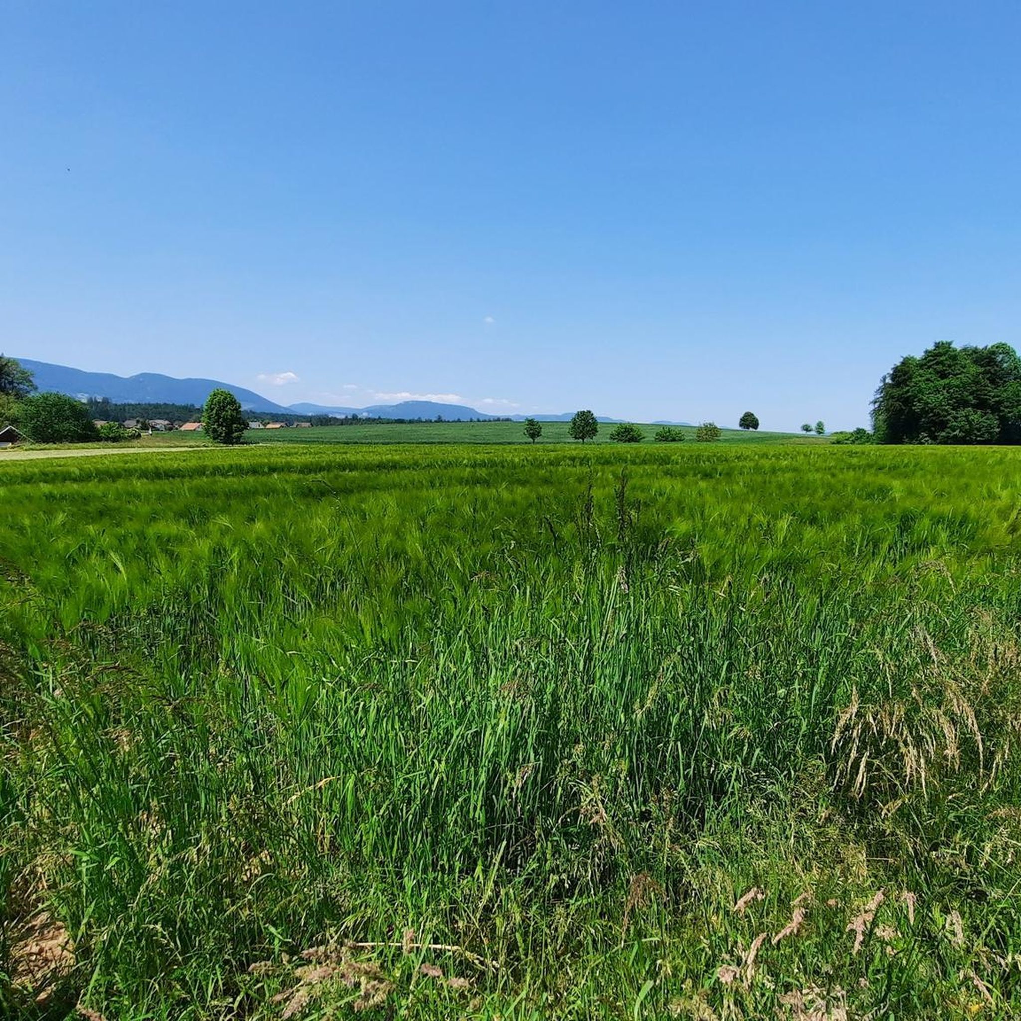
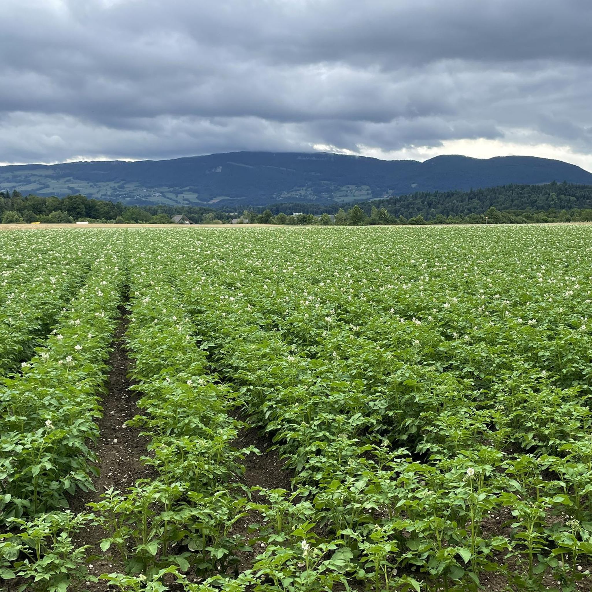
Hiking around Heimenhausen offers diverse terrain in the Oberaargau administrative district of Bern, Switzerland. The landscape is characterized by extensive agricultural areas and substantial forests, providing varied scenery for outdoor activities. Water features prominently, with the Aare river, Steinbachweiher, and Inkwilersee lakes integrated into many routes. This geographical position on the border between Bern and Solothurn cantons contributes to a rich environment for exploration.
Best hiking trails around Heimenhausen
- The most popular hiking route is Steinhof Chapel – Lake Burgäschi…
Last updated: June 27, 2026
4.5
(2)
13
hikers
8.34km
02:11
60m
60m
Moderate hike. Good fitness required. Easily-accessible paths. Suitable for all skill levels.
4.0
(1)
18
hikers
5.37km
01:22
20m
20m
Easy hike. Great for any fitness level. Easily-accessible paths. Suitable for all skill levels.

Sign up for free
10
hikers
4.32km
01:07
30m
30m
Easy hike. Great for any fitness level. Easily-accessible paths. Suitable for all skill levels.
5.0
(1)
6
hikers
10.00km
02:35
50m
50m
Moderate hike. Good fitness required. Easily-accessible paths. Suitable for all skill levels.
4.0
(1)
3
hikers
Easy hike. Great for any fitness level. Easily-accessible paths. Suitable for all skill levels.
Get access to more routes and recommendations from other explorers.
Sign up for free
Already have an account?
Our route recommendations are based on thousands of hikes, rides, and runs completed by other people on komoot.
Start today with a free account
Your next adventure awaits.
Login or Signup
Tips from the Community


From the jetty, the wide Aare River is reminiscent of the Amazon. At each end, there are seating areas for relaxing breaks. A spacious barbecue area also invites you to enjoy a fiery barbecue.
0
0

Here you'll find a lovely, shady picnic area on the lakeshore. Small boats can also be rented for a trip on the lake in the summer. Children who aren't tired from cycling can continue to have fun on the playground.
1
0


The Burgaeschisee is a jewel in the Wasseramt 👍👍💯
0
0

Parking on both sides! Beautiful bike paths in all directions.
0
0

Shouldn't be done on weekends out of respect for pedestrians. But it's a beautiful path!
0
0
Frequently Asked Questions
How many hiking trails are available around Heimenhausen?
Heimenhausen offers a wide variety of hiking opportunities, with over 590 routes recorded on komoot. These range from easy strolls through fields and forests to more challenging moderate excursions.
What kind of terrain can I expect on hikes in Heimenhausen?
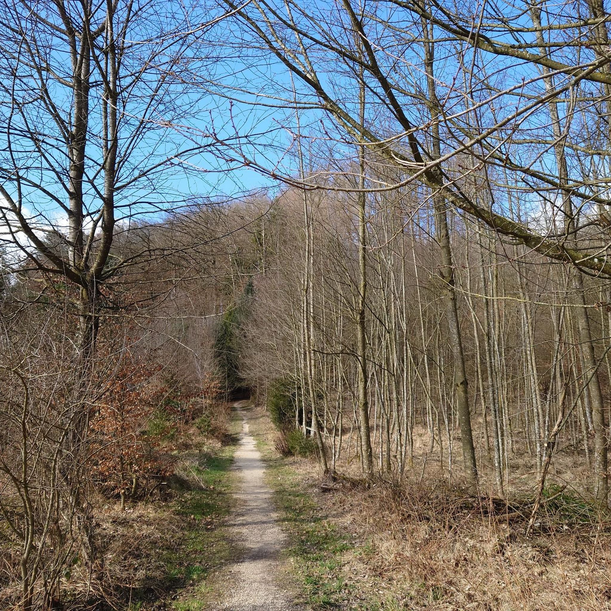
The landscape around Heimenhausen is diverse, characterized by extensive agricultural areas, substantial forests, and prominent water features. You'll find routes following the Aare river, passing by lakes like Steinbachweiher and Inkwilersee, and traversing gentle hills. Over half the area is agricultural, and a significant portion is forested, offering varied scenery.
Are there any natural landmarks or points of interest to see while hiking in Heimenhausen?
Yes, the region boasts several natural highlights. You can explore the confluence of the Emme and Aare rivers at Emmenspitz, or visit the picturesque Lake Burgäschi. Other notable features include the Oberbühlchnubel and the impressive Grossi Flue Erratic Boulder.
What do other hikers enjoy most about hiking in Heimenhausen?
The hiking trails in Heimenhausen are highly rated by the komoot community, with an average score of 4.6 stars from over 1,100 reviews. Hikers often praise the tranquil natural settings, the varied scenery of forests and rivers, and the well-maintained paths that cater to different fitness levels.
Are there family-friendly hiking routes in Heimenhausen?
Yes, many routes in Heimenhausen are suitable for families. The region offers numerous easy walks through fields and along rivers, such as the 3.4-mile (5.4 km) Along the Oenz loop from Niederönz, which is often completed in about 1 hour 24 minutes. These paths are generally comfortable and provide pleasant outdoor experiences for all ages.
Can I find circular walks around Heimenhausen?
Absolutely. Many of the hiking routes in Heimenhausen are designed as loops, allowing you to start and end at the same point. Examples include the 5.2-mile (8.3 km) Confluence of the Önz and the Aare loop from Heimenhausen, which offers riverside scenery, and the 3.3-mile (5.3 km) Walliswilsteg loop from Berken.
What is the best season for hiking in Heimenhausen?
Heimenhausen is enjoyable for hiking throughout much of the year. Spring and autumn offer pleasant temperatures and beautiful scenery with blooming flowers or vibrant fall foliage. Summer is also popular, especially for routes that include water features like the Aare river or lakes. While specific winter conditions vary, some paths may be suitable for winter walks.
Are there any viewpoints or scenic spots along the trails?
Yes, the region offers several spots for scenic views. You can find viewpoints such as Roggenflue Viewpoint, Ankehubel, and Höllchöpfli Viewpoint, which provide panoramic vistas of the surrounding landscapes, including agricultural fields, forests, and distant mountains.
Is Heimenhausen easily accessible by public transport for hikers?
Heimenhausen's location on the border between the cantons of Bern and Solothurn suggests good regional connectivity. While specific public transport details for trailheads are not provided, Switzerland generally has an excellent public transport network, making many hiking areas accessible.
Are there options for longer, more challenging hikes?
While many routes are easy to moderate, Heimenhausen does offer options for longer excursions. For example, the 6.2-mile (9.9 km) Lake Burgäschi – Lake Burgäschi loop from Herzogenbuchsee is a moderate route that takes around 2 hours 35 minutes, providing a good option for those seeking a longer walk.
What are the typical elevation changes on hikes in Heimenhausen?
Hikes in Heimenhausen generally feature moderate elevation changes, making them accessible to a wide range of hikers. For instance, the Steinhof Chapel – Lake Burgäschi loop from Herzogenbuchsee has an elevation gain of about 152 meters over 10.8 km, while the Confluence of the Önz and the Aare loop from Heimenhausen has a gentler gain of around 65 meters over 8.3 km.
Most popular routes around Heimenhausen
Most popular attractions around Heimenhausen

Get inspired with the komoot mobile app


Explore more
Browse the best Hikes in other regions.
