The best road cycling routes around Heiligenstedten
4.6
(305)
2,733
riders
332
rides
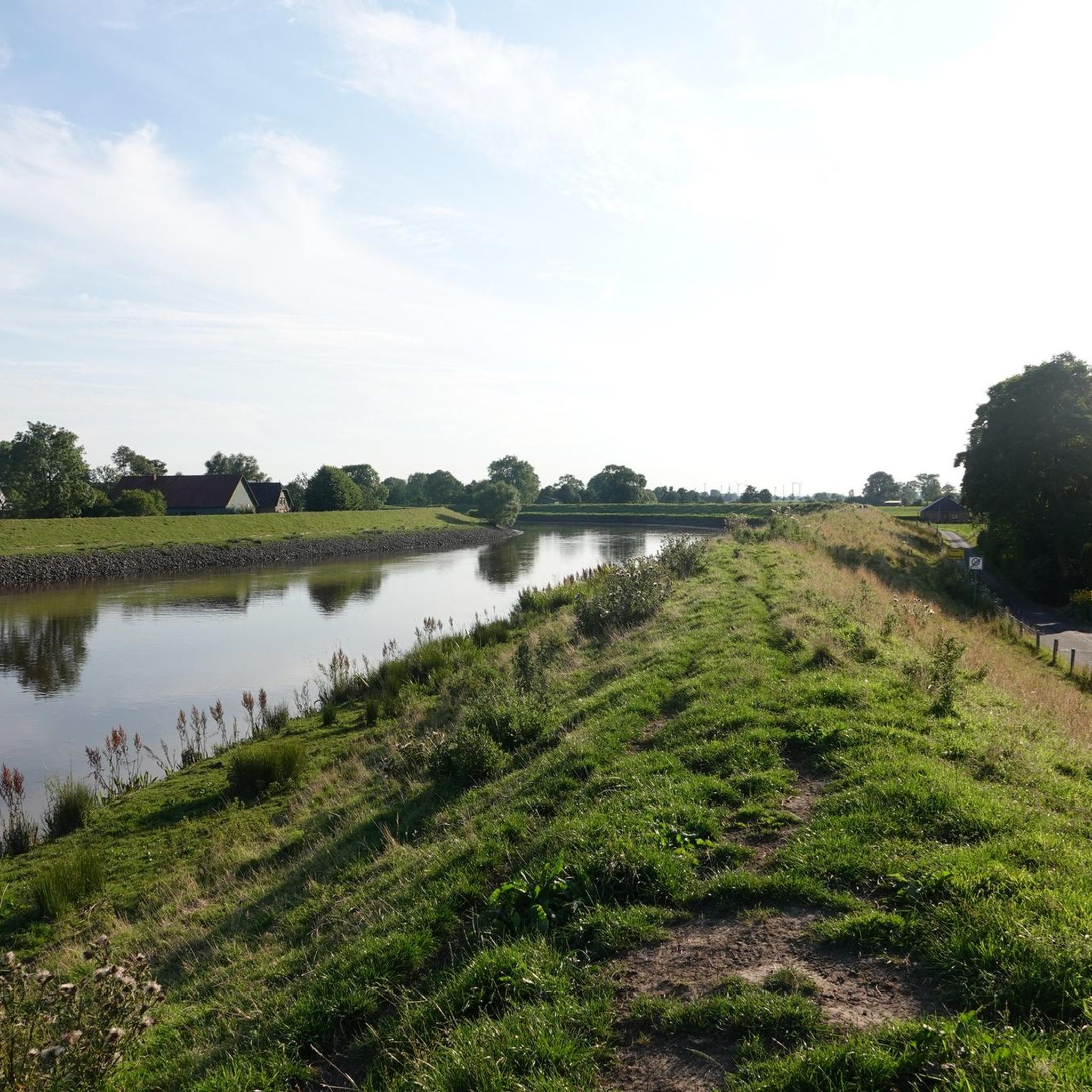
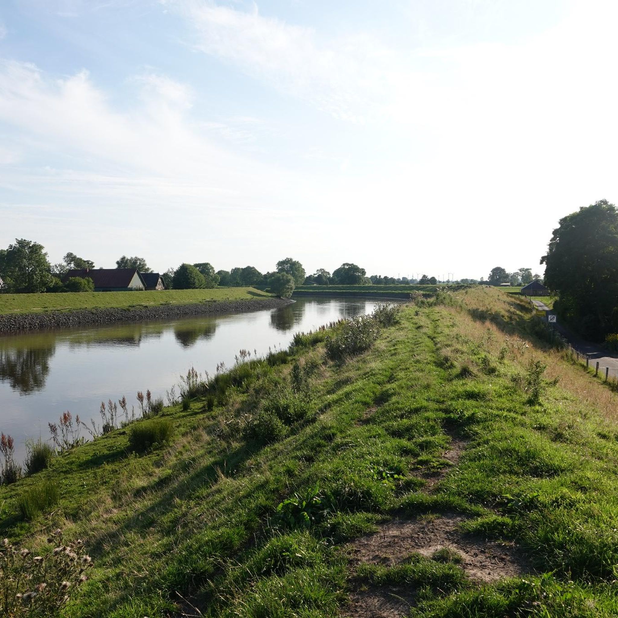
Road cycling routes around Heiligenstedten traverse a landscape characterized by expansive green meadows, fertile fields, and small woodlands. The region features low elevations, often near sea level, with agricultural land use dominating the scenery. Cyclists can expect views of wide lowlands along the Stör river and its tributaries, with the Geestkante ridge offering elevated perspectives in some areas. The generally flat terrain and network of quiet paths make Heiligenstedten well-suited for road cycling.
Best road cycling routes around Heiligenstedten
- The…
Last updated: July 10, 2026
5.0
(3)
44
riders
Easy road ride. Great for any fitness level. Mostly well-paved surfaces and easy to ride.
22
riders
Easy road ride. Great for any fitness level. Mostly well-paved surfaces and easy to ride.

Sign up for free
5.0
(1)
6
riders
24.9km
01:08
140m
140m
Easy road ride. Great for any fitness level. Mostly well-paved surfaces and easy to ride.
8
riders
33.7km
01:24
40m
40m
Moderate road ride. Great for any fitness level. Some segments of this route may be unpaved and difficult to ride.
4.0
(1)
6
riders
Easy road ride. Great for any fitness level. Mostly well-paved surfaces and easy to ride.
Get access to more routes and recommendations from other explorers.
Sign up for free
Already have an account?
Our route recommendations are based on thousands of hikes, rides, and runs completed by other people on komoot.
Start today with a free account
Your next adventure awaits.
Login or Signup
Tips from the Community

From the name of the military facility, the common term "Muna" was formed.
0
0
The building was built in 1912. It served as accommodation for soldiers training here. After 1945, it housed the pharmaceutical company Arthur Boskamp. Today it houses the Arthur Boskamp Foundation.
0
0
This building belonged to the innkeeper and haulage contractor Sibbert. It was used by the military as a provisions distribution point.
0
0
From here you look at the lieutenants' barracks on the left. In the building with the red wall, machine gun companies training here were housed from 1914 onwards. Between the MG building and the light-colored building (MB3) you can see the former kitchen 7.
0
0

Windmill in Beidenfleth. Nice landmark
0
0

Very quaint and also practical: I made myself comfortable in the armchair and waited for the rain.
2
0
High sheep density, correspondingly many "obstacles" along the route. The surface is good. Great view towards Cuxhaven. The Elbe River already smells a bit like the North Sea. On the Glückstadt side, there are beautiful thatched-roof properties behind the dike.
2
0

Frequently Asked Questions
What is the typical terrain like for road cycling in Heiligenstedten?
The region around Heiligenstedten is characterized by generally flat terrain, with expansive green meadows, fertile fields, and small woodlands. You'll often find yourself cycling through marshland on quiet cart paths or streets, enjoying views of wide lowlands along the Stör river and its tributaries. While mostly flat, some routes offer elevated perspectives from the Geestkante ridge near Bekdorf and Kleve.
How many road cycling routes are available around Heiligenstedten?
There are over 360 road cycling routes available around Heiligenstedten on komoot, offering a wide variety of options for different preferences and skill levels.
Are there road cycling routes suitable for beginners in Heiligenstedten?
Yes, Heiligenstedten is very well-suited for beginners. Many routes are described as 'easy' or 'moderate' road rides, featuring mostly well-paved surfaces and minimal elevation changes. For example, the Bicycle Repair Station Hodorf – Heiligenstedten Bascule Bridge loop from Steinburg is an easy 16.6-mile path that follows quiet village streets with scenic views.
Are there any challenging road cycling routes for experienced riders?
While the region is predominantly flat, there is at least one route classified as 'difficult' for those seeking a greater challenge. Most routes are easy to moderate, but experienced riders can combine routes or explore longer distances to increase the intensity of their ride.
What interesting landmarks or attractions can I see along the road cycling routes?
Beyond the natural beauty, you can incorporate cultural and historical points of interest into your rides. Notable attractions include the historic Heiligenstedten Castle, the local church with its 13th-century tower, and the Bascule bridge and bridge keeper's house in Heiligenstedten. You might also pass by the Sturgeon bridge or the Kasenort Lock. For a unique natural sight, consider visiting the Lowest Point in Germany.
Are there any loop trails for road cycling in Heiligenstedten?
Yes, many road cycling routes in Heiligenstedten are designed as loops, allowing you to start and end at the same point. An example is the View of Lohmühle – Smooth asphalt road loop from Steinburg, which is a 16.5-mile trail through fields and meadows.
What do other cyclists say about the road cycling routes in Heiligenstedten?
The road cycling routes in Heiligenstedten are highly rated by the komoot community, with an average score of 4.6 stars from over 300 reviews. Cyclists often praise the smooth asphalt roads, the quiet nature of the paths, and the scenic views of the lowlands and the Stör river.
Are there any long-distance road cycling routes accessible from Heiligenstedten?
Yes, Heiligenstedten is connected to major long-distance cycling routes. The famous "Monk's Way" (Mönchsweg), which stretches from Bremen to Puttgarden, passes through nearby towns like Glückstadt and Itzehoe, making it accessible for longer tours from the region.
Can I find places to eat or stay along the road cycling routes?
Yes, the region offers options for refreshments and accommodation. For example, the Gasthof Zur Erholung in Heiligenstedten is a highlight that can be integrated into your route for a stop. Many villages along the routes will also have local cafes or guesthouses.
What is the best time of year for road cycling in Heiligenstedten?
The spring and autumn seasons offer particularly beautiful experiences. In spring, you can enjoy the fruit trees along the dykes in blossom, while autumn brings the apple harvest. The generally mild climate of the North German lowlands makes cycling pleasant for much of the year, though summer can be warm and winter may bring colder, wetter conditions.
Are there routes that offer views of the Stör River?
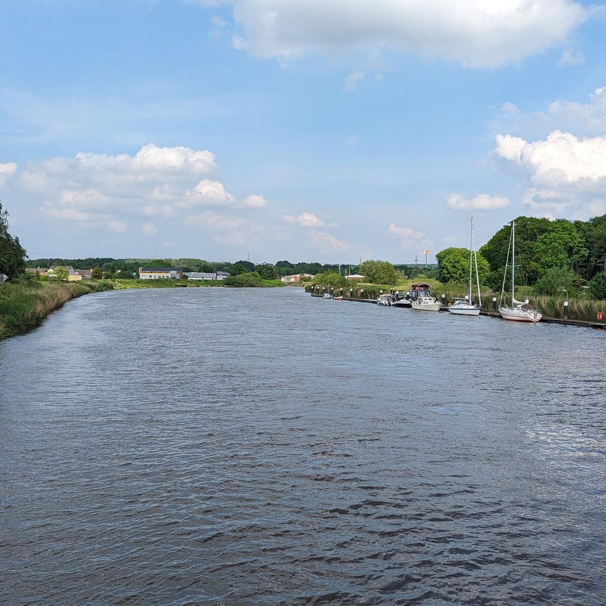
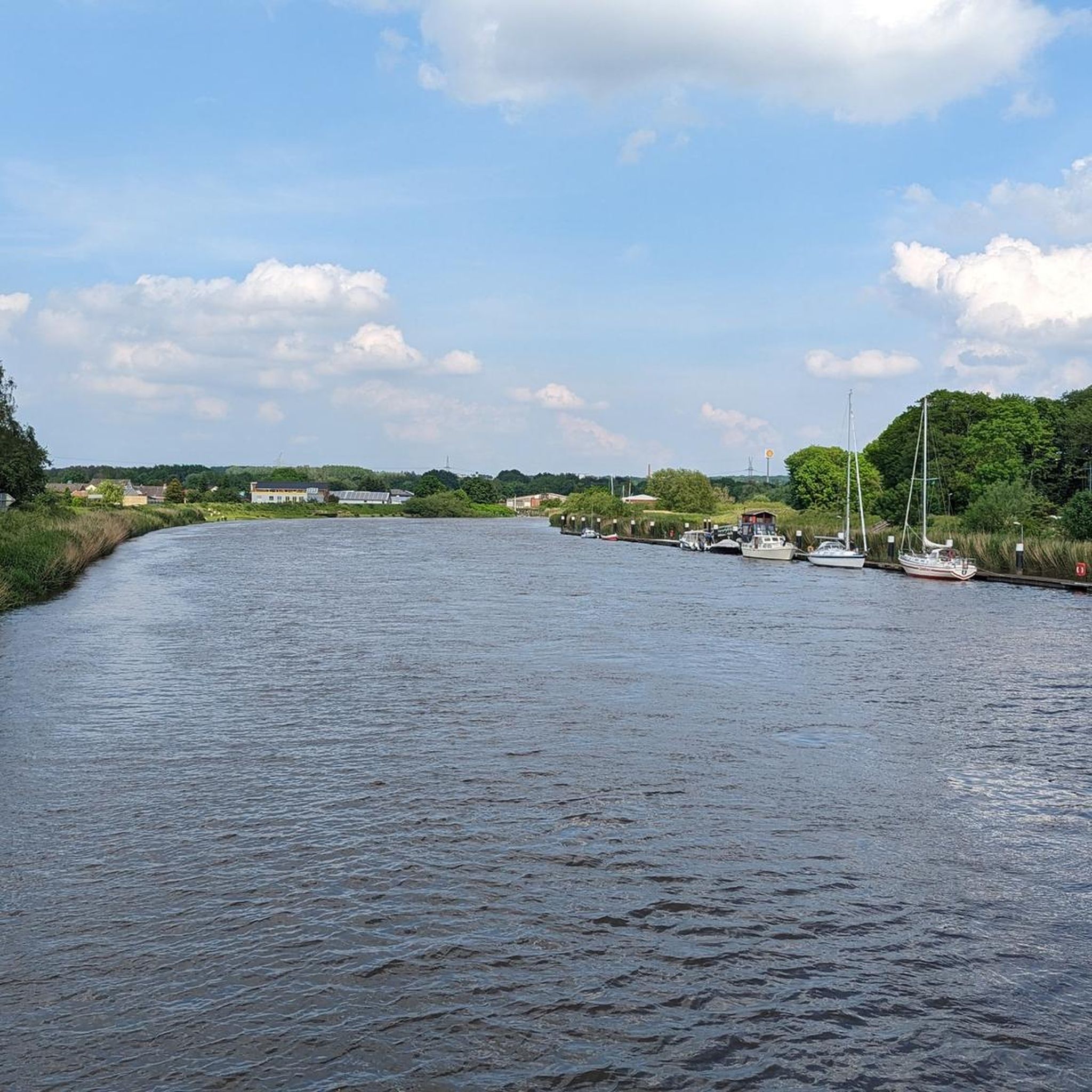
Absolutely. Many routes in the Heiligenstedten area follow the Stör River and its tributaries, providing picturesque views of the water and surrounding lowlands. The Glückstadt–Wischhafen Ferry – Heiligenstedten Bascule Bridge loop from Heiligenstedten is a great example, offering continuous views of the Stör river.
Most popular routes around Heiligenstedten
Most popular attractions around Heiligenstedten

Get inspired with the komoot mobile app


Explore more
Browse the best Road cycling routes in other regions.
