The best road cycling routes around Heiligenstadt
4.6
(635)
7,380
riders
40
rides
Road cycling routes Heiligenstadt traverse the diverse landscapes of the Eichsfeld region, characterized by the hilly terrain of the Upper and Lower Eichsfeld. Cyclists encounter a mix of challenging climbs in areas like the Ohm Mountains and flatter sections along the Leine riverside and in the Golden Mark. The region features picturesque river valleys, dense forests, and expansive meadows, providing varied backdrops for road cycling.
Best road cycling routes around Heiligenstadt
- The most popular road cycling route is Würgauer Berg Climb – View of Oberaufseß Castle loop from St. Veit und St. Michael, a 45.7 miles (73.6 km) trail that takes 3 hours 18 minutes to complete, offering views of historic castles.
- Another top favourite among local road cyclists is School Mill Veilbronn – Leinleiter Cycle Path loop from St. Veit und St. Michael, a moderate 25.4 miles (40.8 km) path. This route winds through varied terrain, including sections along the Leinleiter Cycle Path.
- Local road cyclists also love the Leinleiter Cycle Path – View of Neideck Castle Ruins loop from St. Veit und St. Michael, a 19.6 miles (31.5 km) trail leading through river valleys and past castle ruins, often completed in about 1 hour 19 minutes.
- Road cycling around Heiligenstadt is defined by hilly terrain, river valleys, and dense forests. The network offers options for different ability levels, from leisurely rides to more challenging climbs.
- The routes in Heiligenstadt are highly rated by the komoot community with an average score of 4.7 stars from over 48 reviews. More than 800 road cyclists have used komoot to explore Heiligenstadt's varied terrain.
Last updated: July 11, 2026
4.3
(9)
97
riders
Moderate road ride. Great for any fitness level. Some segments of this route may be unpaved and difficult to ride.
5.0
(1)
59
riders
Moderate road ride. Good fitness required. Mostly well-paved surfaces and easy to ride.

Sign up for free
4.7
(6)
104
riders
60.0km
02:49
660m
660m
Moderate road ride. Good fitness required. Some segments of this route may be unpaved and difficult to ride.
4.0
(4)
41
riders
Easy road ride. Great for any fitness level. Mostly well-paved surfaces and easy to ride.
25
riders
Moderate road ride. Good fitness required. Mostly well-paved surfaces and easy to ride.
Get access to more routes and recommendations from other explorers.
Sign up for free
Already have an account?
Our route recommendations are based on thousands of hikes, rides, and runs completed by other people on komoot.
Start today with a free account
Your next adventure awaits.
Login or Signup
Popular around Heiligenstadt

The Franconian Trail – A Diverse Hiking Dream Across 24 Stages
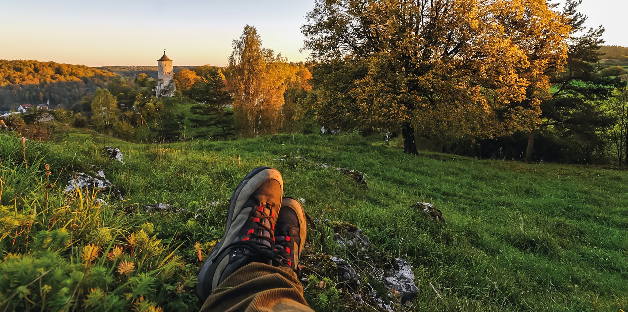
Breweries, hops & beer – Four days hiking in Franconian Switzerland
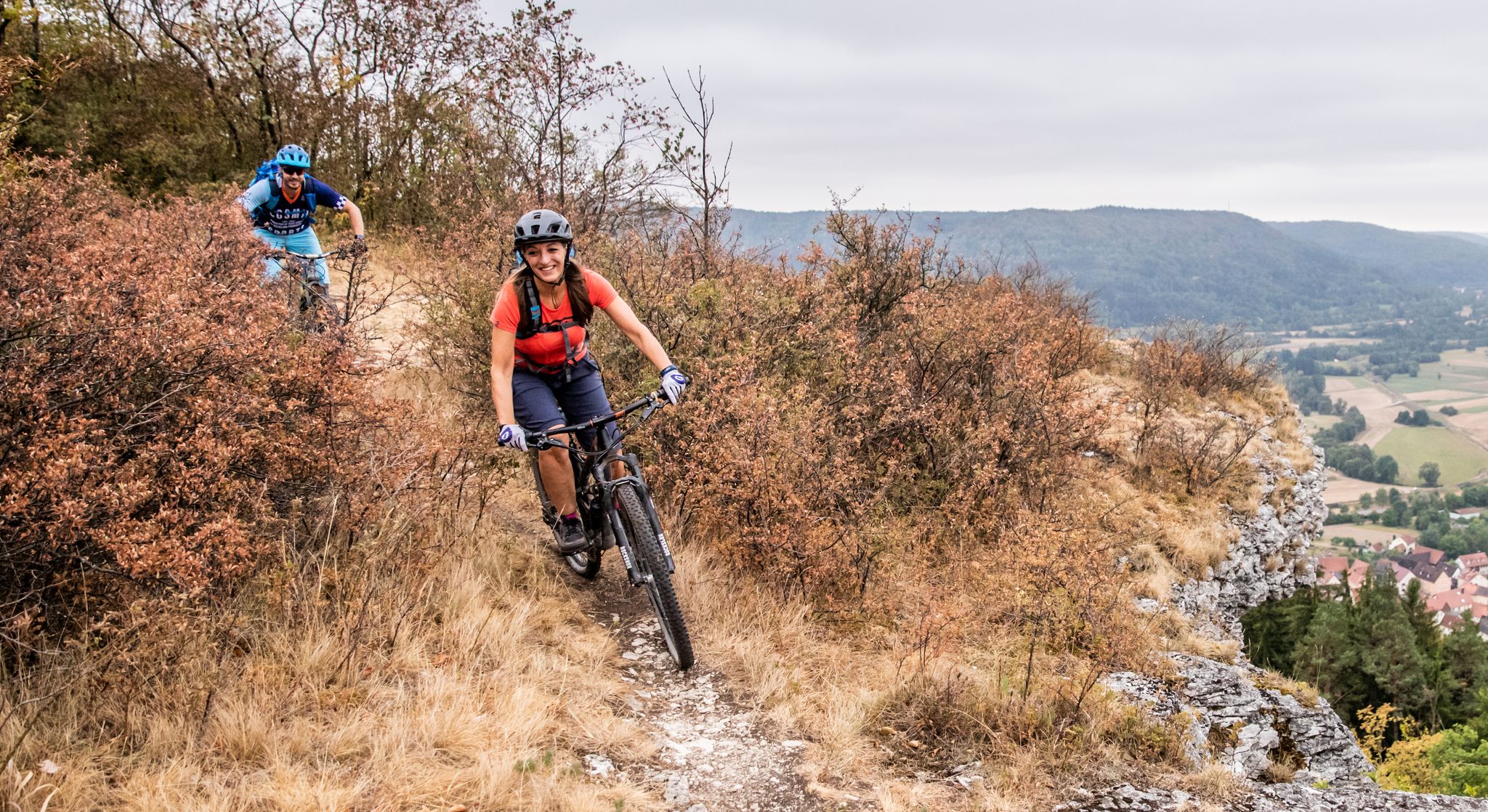
Castles, mountains, beer & trails – bikepacking in Franconian Switzerland

Hike & Beer in Franconia and Upper Palatinate — the VGN leisure tips
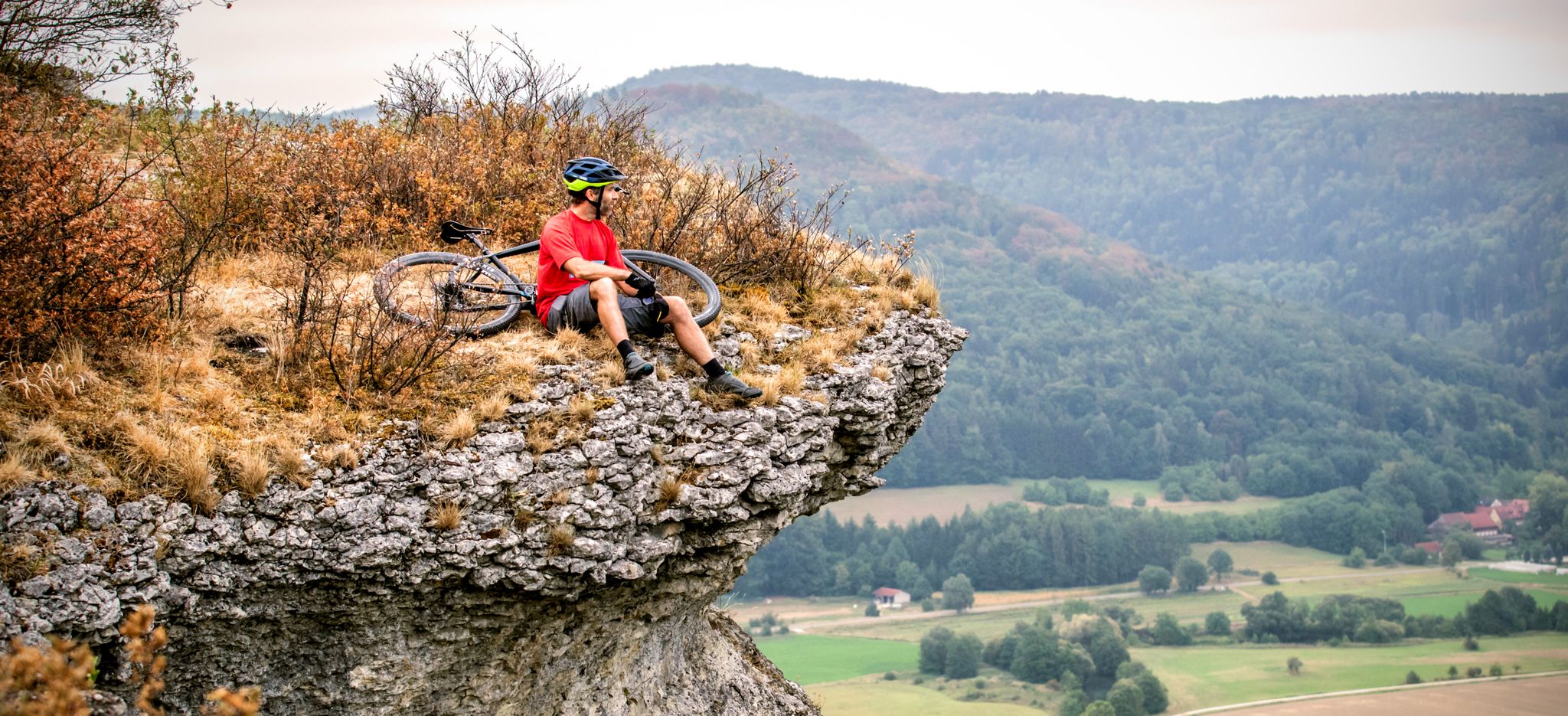
The 10 most beautiful mountain bike Tours in Franconian Switzerland
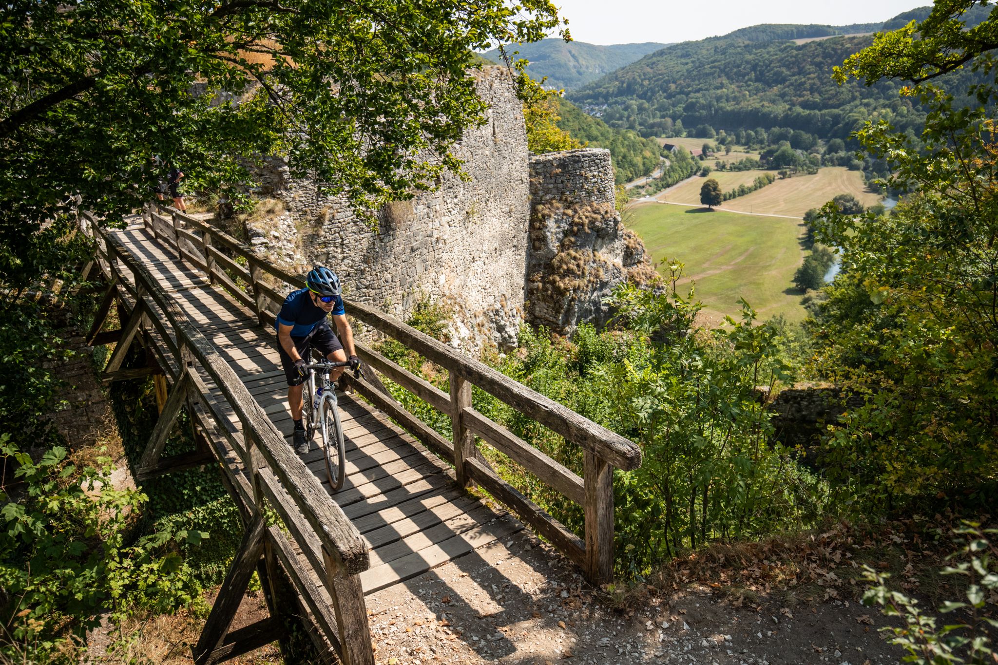
Castles, bikes and beer — a mountain biking paradise in Franconian Switzerland
Hiking around Heiligenstadt
Cycling around Heiligenstadt
MTB Trails around Heiligenstadt
Running Trails around Heiligenstadt
Other adventures around Heiligenstadt


Tips from the Community

Dreamlike cycle path in the picturesque Leinleitertal
0
0
Dreamlike cycle path through the Leinleiten valley
0
0
The Neideck always goes.
0
0

The rock village of Freienfels is a picturesque district of the town of Hollfeld. The village is dominated by the imposing rock castle, which sits atop a dolomite cliff. It was originally built as a fortress in the 14th century. Today it is privately owned, but in the summer it serves as an atmospheric stage for the Franconian Theater Summer. There are currently plans to convert parts of the castle into a museum. The village is a popular starting point for hikes.
3
0

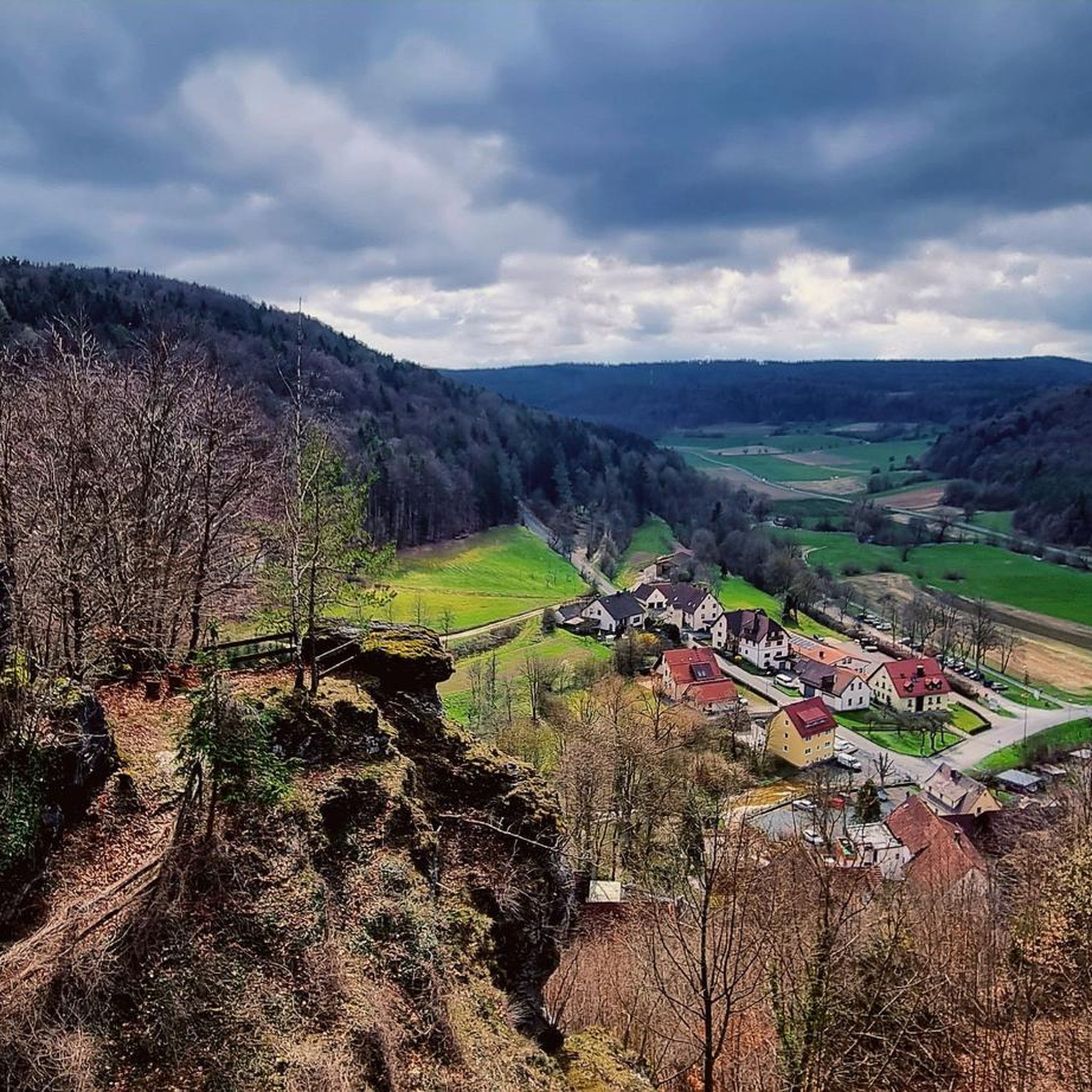
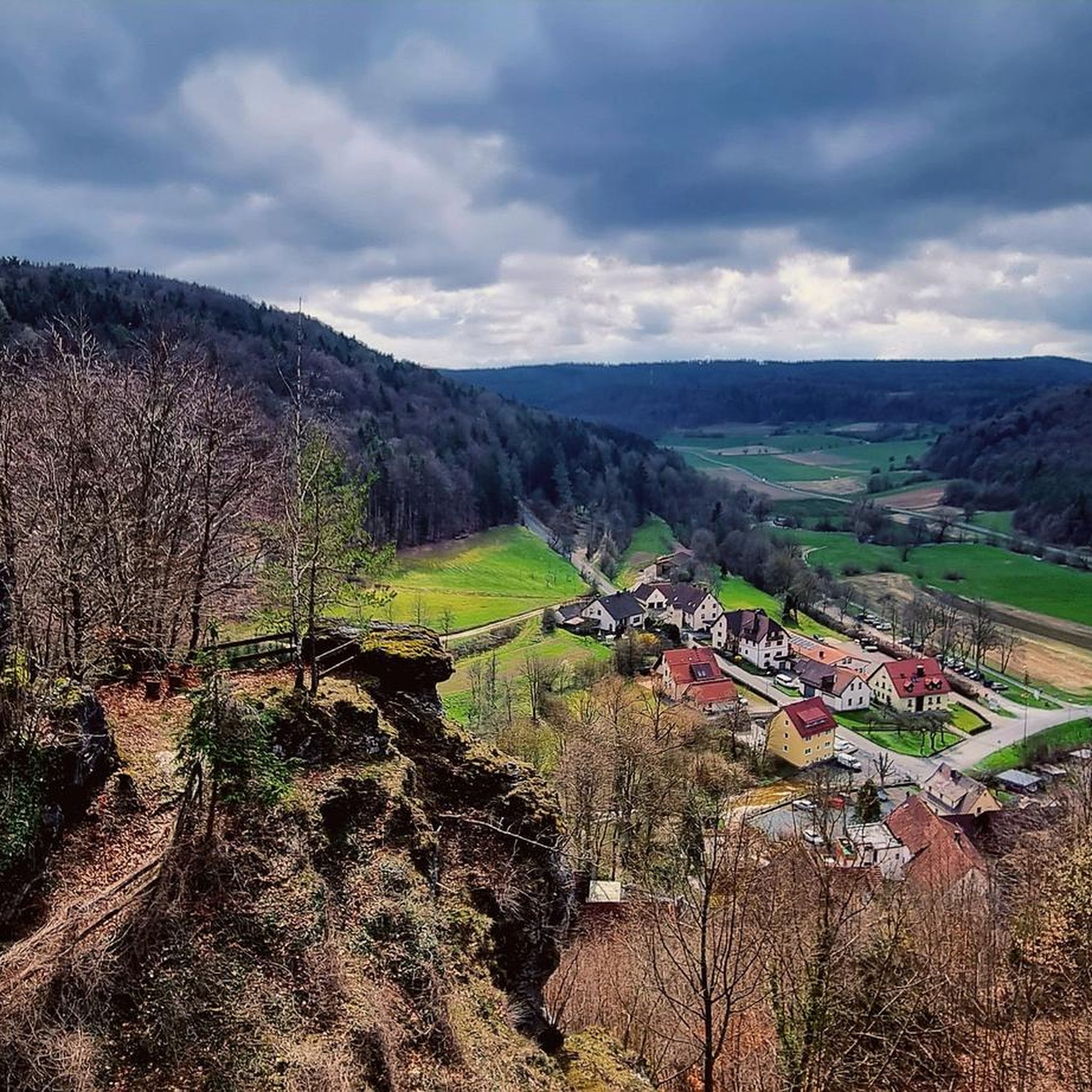
Great view and beautiful photos. I passed by there on the heritage railway twenty years ago.
1
0

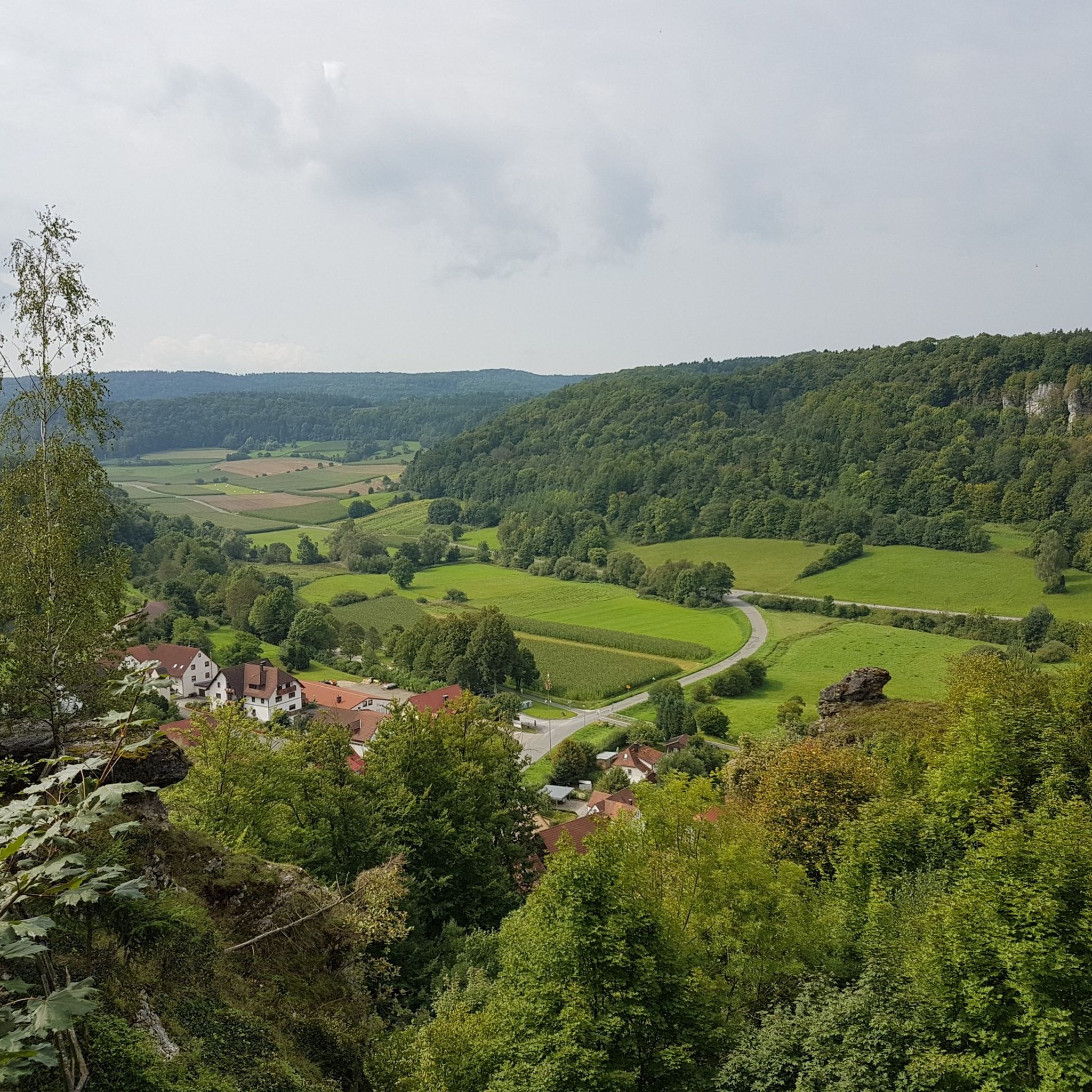
great rest area with a view of the Aufseßtal
0
1
at the Adalbert Hollfelder rest area
0
1

beautiful to look at even from below
1
0
Frequently Asked Questions
What kind of terrain can I expect on road cycling routes around Heiligenstadt?
Heiligenstadt's road cycling routes traverse the diverse landscapes of the Eichsfeld region. You'll encounter a mix of challenging climbs in areas like the Ohm Mountains, contrasting with more level sections along the Leine riverside and in the Golden Mark. The region features picturesque river valleys, dense forests, and expansive meadows, offering varied backdrops for your ride.
How many road cycling routes are available in the Heiligenstadt area?
There are over 35 road cycling routes available around Heiligenstadt, catering to various skill levels. These include 4 easy routes, 29 moderate routes, and 5 difficult routes, ensuring options for every cyclist.
Are there any family-friendly road cycling routes in Heiligenstadt?
While specific 'family-friendly' road cycling routes aren't explicitly detailed, the region offers flatter sections along river valleys like the Leine and areas within the Golden Mark. Routes with less elevation gain, such as the Leinleiter Cycle Path – View of Neideck Castle Ruins loop from St. Veit und St. Michael, which is rated easy, could be suitable for families looking for a more relaxed ride.
What are some scenic highlights or attractions I can see along the road cycling routes?
Many routes pass through historic towns and idyllic villages. You can also find natural and historical attractions such as the Ruins of Neideck Castle, which is part of the Leinleiter Cycle Path – View of Neideck Castle Ruins loop. Other notable sights in the broader area include the historic town of Duderstadt with its half-timbered houses, and the Ohmgebirge Nature Reserve.
When is the best time of year for road cycling in Heiligenstadt?
The spring and summer months are considered the best times for road cycling in Heiligenstadt. During these seasons, you can expect mild temperatures and vibrant natural scenery, making for ideal riding conditions.
Are there any routes that follow former railway lines?
Yes, the Kanonenbahn Cycle Path is a notable route in the region that follows a former railway line. This approximately 60-kilometer path offers a unique blend of nature and history, winding through forests, over viaducts, and past old train stations, including five tunnels.
What do other road cyclists say about the routes in Heiligenstadt?
The road cycling routes in Heiligenstadt are highly rated by the komoot community, with an average score of 4.7 stars from over 48 reviews. Cyclists often praise the varied terrain, from challenging climbs to scenic river valleys, and the well-maintained roads that cater to different skill levels.
Can I find routes with significant elevation changes for a challenging ride?
Absolutely. The hilly terrain of the Upper and Lower Eichsfeld, particularly in the Ohm Mountains, offers challenging routes with significant elevation changes. An example is the Würgauer Berg Climb – View of Oberaufseß Castle loop from St. Veit und St. Michael, which features over 700 meters of elevation gain over 73.6 km.
Are there any routes that offer views of castles or historical sites?
Many routes incorporate historical elements. For instance, the Würgauer Berg Climb – View of Oberaufseß Castle loop from St. Veit und St. Michael offers views of historic castles. The broader Eichsfeld Circular Trail also takes cyclists past castles and monasteries, showcasing the region's rich cultural heritage.
Which routes are good for moderate-level road cyclists?
Most of the routes in Heiligenstadt are rated as moderate, providing a good balance of challenge and enjoyment. A popular choice is the School Mill Veilbronn – Leinleiter Cycle Path loop from St. Veit und St. Michael, which is 40.8 km long and winds through varied terrain.
Are there any long-distance road cycling routes in the area?
Yes, for longer rides, the Würgauer Berg Climb – View of Oberaufseß Castle loop from St. Veit und St. Michael covers 73.6 km. Additionally, the Leine-Werra Cycle Path spans around 100 kilometers, offering diverse landscapes and numerous sights for an extended ride.
What are some natural features to look out for while cycling?
The region is rich in natural beauty. You can expect to cycle through picturesque river valleys, dense forests, and expansive meadows. Keep an eye out for natural monuments like the Streitberg rock gate or enjoy views over the Wiesent Valley.
Most popular routes around Heiligenstadt
Most popular attractions around Heiligenstadt

Get inspired with the komoot mobile app


Explore more
Browse the best Road cycling routes in other regions.
