The 2 Most Amazing Peaks around Messenkamp
Best mountain peaks around Messenkamp are found in a region characterized by rolling hills and elevated natural formations, rather than towering peaks. Situated on the edge of the Weserbergland, the area provides access to notable elevated regions such as the Weser Mountains and the Deister. These locations offer diverse experiences, from leisurely walks to more demanding hikes, set within a scenic, hilly landscape. The average altitude of Messenkamp is 115 meters.
Best mountain peaks around Messenkamp
- The most popular mountain…
Last updated: October 4, 2026
Annaturm and Annaturm Forest Inn
Highlight • Viewpoint
Translated by Google •
Tip by

Nordmannsturm and forest restaurant
Highlight • Viewpoint
Translated by Google •
Tip by

Sign up now to discover places like this
Get recommendations on the best single tracks, peaks, & plenty of other exciting outdoor places.
Barsinghausen Telecommunications Tower
Highlight • Monument
Translated by Google •
Tip by

View from Rodenberger Höhe
Highlight • Viewpoint
Translated by Google •
Tip by

Great Karl
Highlight (Segment) • Summit
Translated by Google •
Tip by

Sign up for free to discover even more peaks around Messenkamp.
Already have an account?
Start today with a free account
Your next adventure awaits.

Tips from the Community

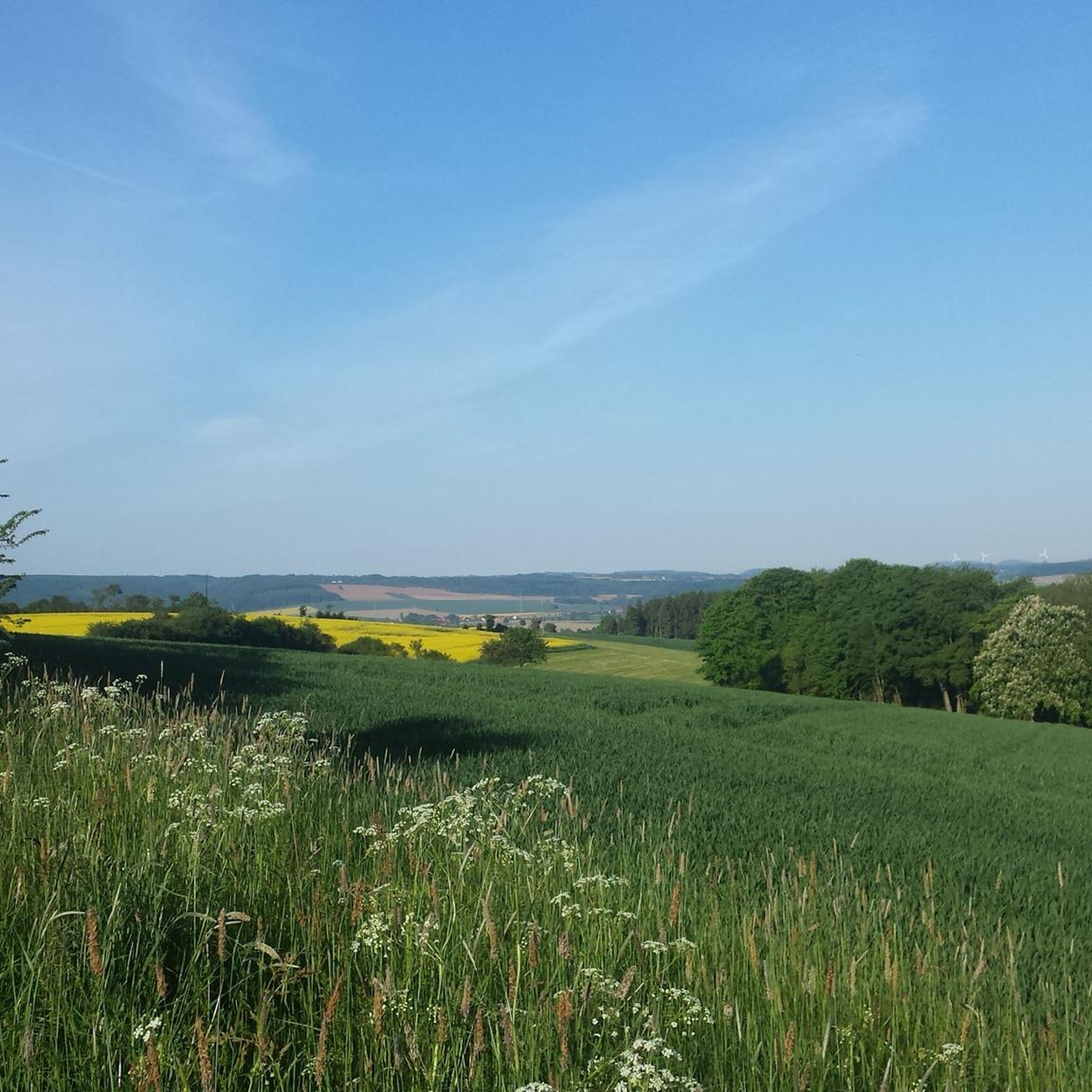
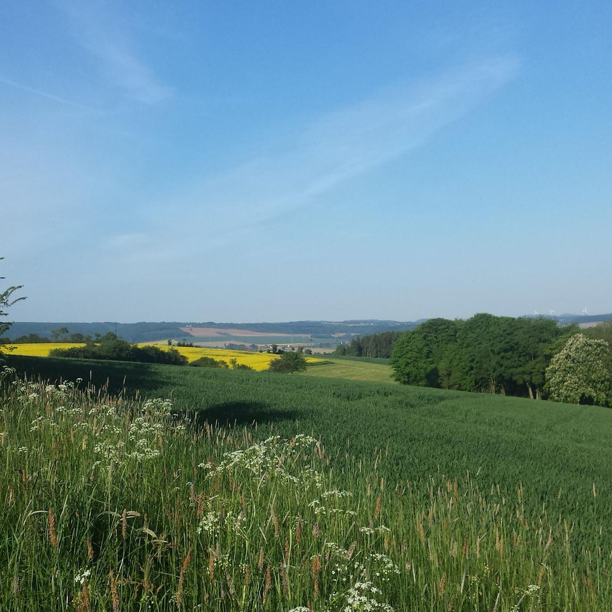
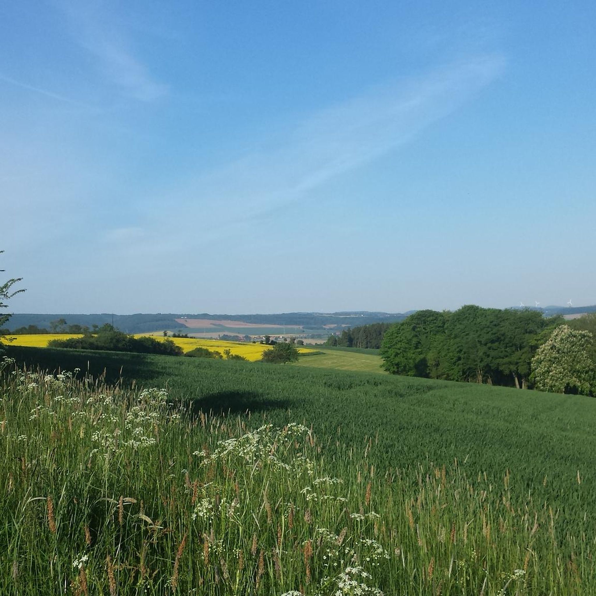
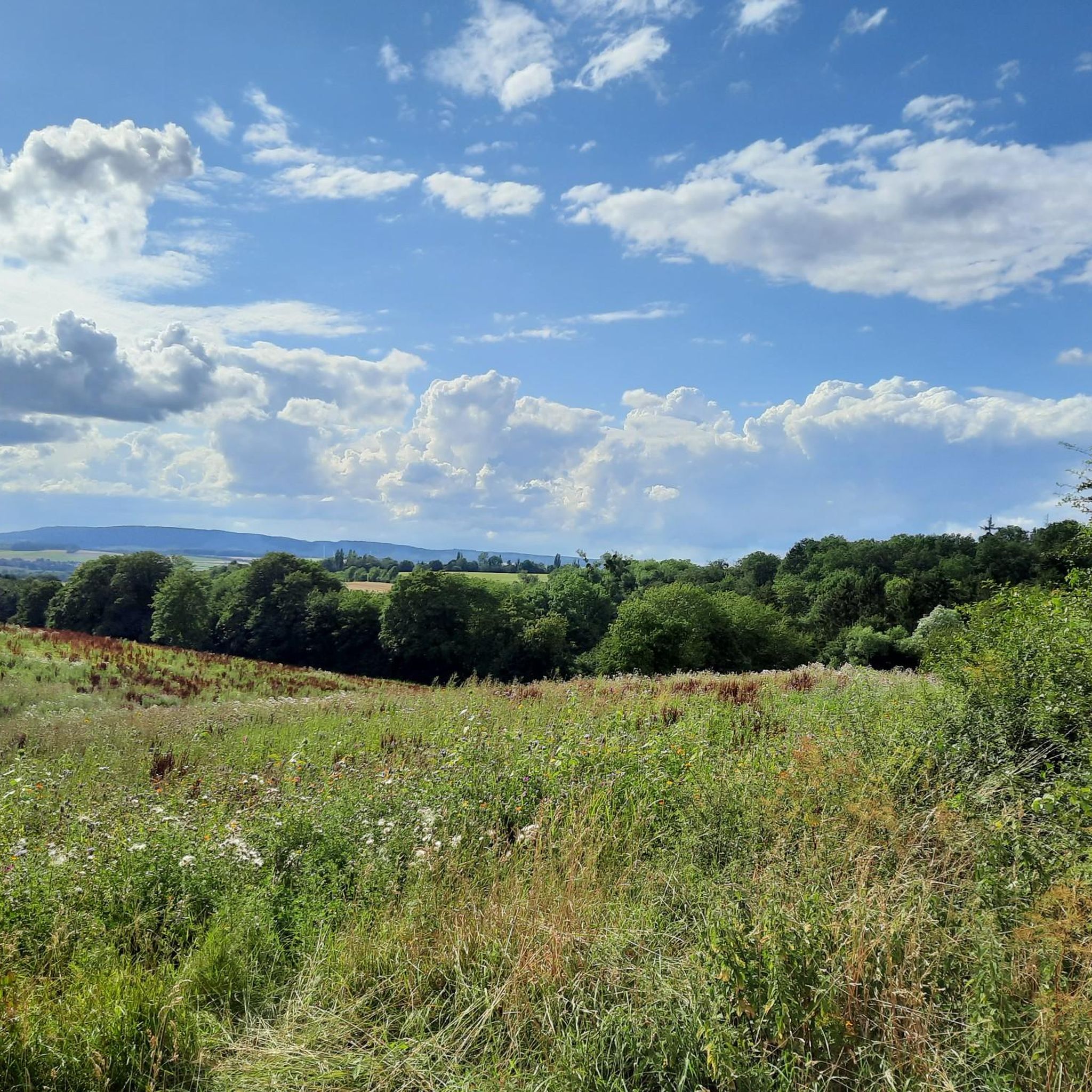
The Rodenberger Höhe rises west of Heisterburg Castle at 322 m above sea level. It is a trigonometric point for the national survey and the site of a tower with telecommunications equipment. About 600 meters northwest of this spot – still in the parcel of land of the same name – is the Rodenberger Hütte, which is why many Deister hikers also call it the "Rodenberger Höhe." As early as the reign of Kaiser Wilhelm II, the Hanover Tourist Association built a shelter here from rubble stone with a flat roof serving as an observation platform, offering a magnificent view of Lake Steinhude, the Süntel Valley, the Süntel, and the Bückeberge Mountains. Today, the view is limited by the fast-growing trees below the hut and will surely soon become overgrown unless the responsible Saupark (Springe) Forestry Office takes countermeasures. Source: https://guentherklapproth.hier-im-netz.de/nachtrag_5_rodenberger_hoehe.html
1
0
The Rodenberger Höhe rises to the west of the Heisterburg at 322 m above sea level. It is a trigonometric point for the national survey and the location for a tower with telecommunications equipment. About 600 meters northwest of this point you will find the Rodenberger Hütte - still in the parcel of land of the same name - which is why many Deister hikers also call it the "Rodenberger Höhe". As early as the reign of Kaiser Wilhelm II, the Hanover Tourist Association had built a shelter here out of quarry stone with a flat roof that served as a viewing platform, from which a wonderful view of the Steinhuder Meer, Sünteltal, Süntel and Bückeberge was possible. Source: https://guentherklapproth.hier-im-netz.de/nachtrag_5_rodenberger_hoehe.html
2
0

At the end of autumn last year, my front wheel was so deep in the mud that the pedals touched the ground, so at this time of year it's better to stick to the gravel roads.
0
0

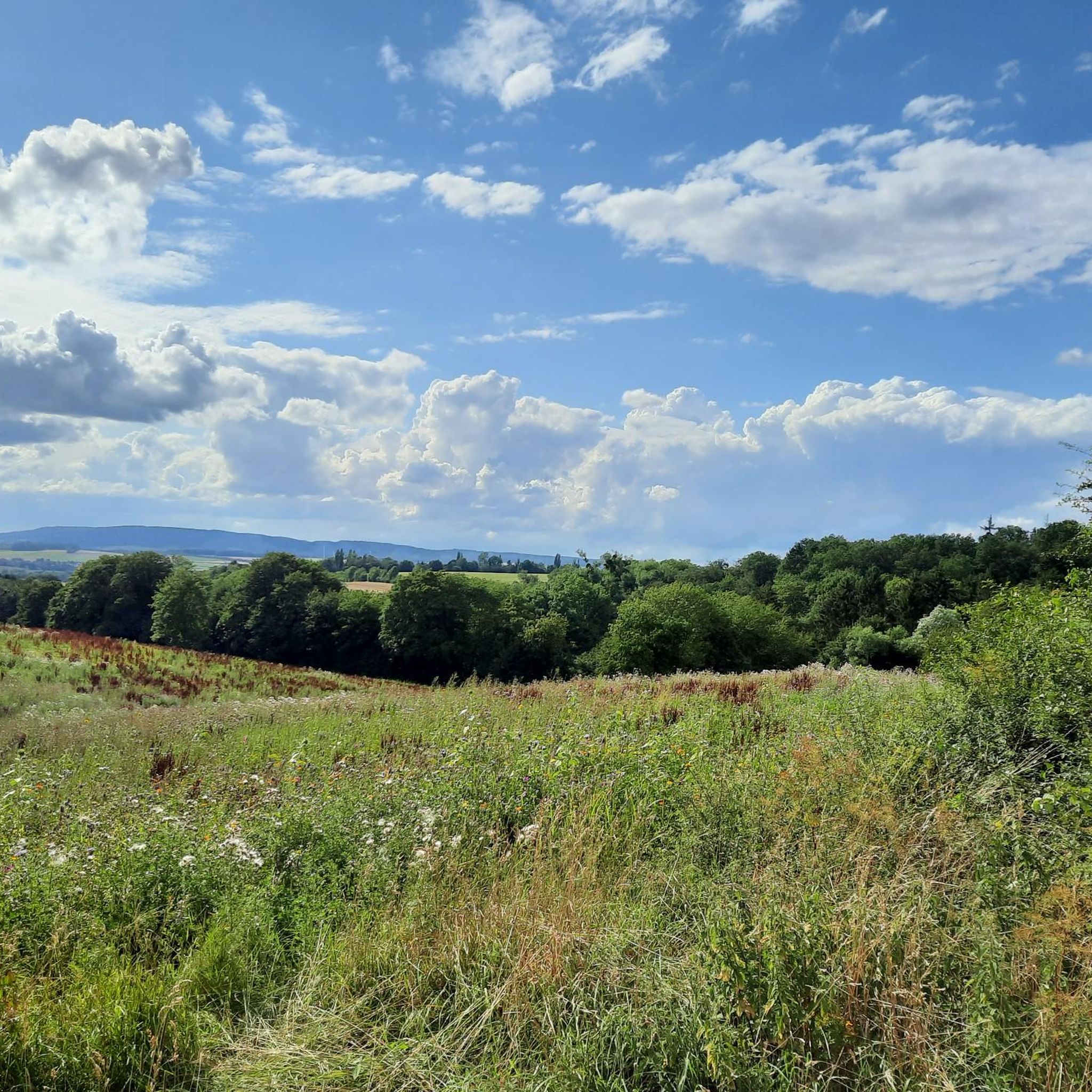
Wildly romantic path with ascent and descent around the Großer Karl (302m). Depending on the season and the condition of the path, the path can be easy to walk, but you should definitely not count on it.
1
0
The Rodenbergerhöhe rises to the west of the Heisterburg at 322 m above sea level. It is a trigonometric point for national surveying and a location for a tower with telecommunications facilities. About 600 meters north-west of this point you will find - still in the field of the same name - the Rodenberger Hütte, which is why many Deister hikers also call it "Rodenbergerhöhe". Source: http://www.guentherklapproth.privat.t-online.de/nachtrag_5_rodenberger_hoehe.html
2
0
The communications tower Barsinghausen (internal: radio transmission point Barsinghausen 2) is a 150 meter high communications tower of Deutsche Funkturm. It is located on the 361 meter high Great Neck within the Deister and was put into operation in 1969. Structurally, it is an FMT 2 type tower. Radio programs are broadcast from here in addition to non-public directional radio. Source: https://de.wikipedia.org/wiki/Fernmeldeturm_Barsinghausen
5
0
The Rodenbergerhöhe rises to the west of the Heisterburg at 322 m above sea level. It is a trigonometric point for national surveying and a location for a tower with telecommunications facilities. About 600 meters northwest of this point you will find the Rodenberger Hütte - still in the parcel of the same name - which is why many Deister hikers also refer to it as "Rodenbergerhöhe". Already during the reign of Kaiser Wilhelm II, the Hanover Tourist Association had built a shelter here from rubble stones with a flat roof serving as a viewing platform, from which a magnificent view of the Steinhuder Meer, Sünteltal, Süntel and Bückeberge was possible. Source: http://guentherklapproth.homepage.t-online.de/nachtrag_5_rodenberger_hoehe.html
3
0

Small restaurant for the hunger in between 👍, to be recommended.
11
1
Frequently Asked Questions
What kind of landscape can I expect when visiting the elevated areas near Messenkamp?
Messenkamp is characterized by rolling hills and picturesque landscapes, rather than towering mountain peaks. The area is situated on the edge of the Weserbergland, offering access to notable elevated regions and formations like the Weser Mountains and Mount Ith. You'll find diverse outdoor experiences, from leisurely strolls to more demanding hikes, all set within a scenic, hilly environment.
What are some of the most popular elevated spots or viewpoints around Messenkamp?
Visitors frequently enjoy the Nordmannsturm and forest restaurant, an observation tower in the Deister offering panoramic views of the Calenberger Land and Weserbergland. Another favorite is Annaturm and Annaturm Forest Inn, a viewpoint and summit with a small restaurant. The Anna Tower on the Bröhn, located at the highest point in the Deister, also provides great views and features a coffee and beer garden.
Are there family-friendly options for exploring the elevated areas around Messenkamp?
Yes, several spots are considered family-friendly. The Annaturm and Annaturm Forest Inn is listed as family-friendly, offering views and a restaurant. The trails in the Weser Mountains are also noted as suitable for families due to their accessibility and clear markings.
What are the best times of year to visit the elevated areas around Messenkamp?
The Weser Mountains are particularly appealing in spring and autumn when the weather is mild and the natural scenery is at its best. Generally, these seasons offer pleasant temperatures for hiking and enjoying the views.
Can I find places to eat or drink near these viewpoints?
Yes, several popular viewpoints include facilities for refreshments. The Annaturm and Annaturm Forest Inn has a small restaurant. The Nordmannsturm and forest restaurant also offers a place to stop for refreshments. Additionally, the Anna Tower on the Bröhn features a coffee and beer garden.
What outdoor activities are available near Messenkamp's elevated regions?
The region offers a variety of outdoor activities. You can find numerous running trails, such as those detailed in the Running Trails around Messenkamp guide. For cyclists, there are options for gravel biking and mountain biking, with routes like those found in the Gravel biking around Messenkamp guide and MTB Trails around Messenkamp guide.
Are there specific hiking trails recommended for beginners or those looking for easy walks?
The Weser Mountains offer trails suitable for both experienced hikers and families due to their accessibility and clear markings, making them a good option for easier walks. Mount Ith also has various hiking trails, including some that are less challenging.
Where can I find the highest points or best panoramic views in the region?
The Anna Tower on the Bröhn is located at 405 meters above sea level, which is the highest point in the Deister. The Nordmannsturm, an observation tower in the Deister, provides fantastic panoramic views from approximately 400 meters above sea level. The View from Rodenberger Höhe also offers an observation platform overlooking the valley.
Are there any historical sites or interesting structures to see?
Yes, several elevated spots feature historical structures. The Nordmannsturm is a 19-meter high observation tower with historical significance. The Annaturm and Annaturm Forest Inn is also a historical site with a watchtower. The Anna Tower on the Bröhn lies directly on the Kammweg, an ancient traffic route with traces from the 16th and 17th centuries.
What do other visitors say about the elevated areas around Messenkamp?
The komoot community highly appreciates the elevated areas around Messenkamp, with over 3200 upvotes and 1200 photos shared across the highlights. Visitors often praise the fantastic panoramic views from towers like the Nordmannsturm and the good food and drink available at places like the Annaturm Forest Inn. The unique rocky formations of Mount Ith are also a distinct and rewarding destination for nature lovers.
What is unique about Mount Ith?
Mount Ith is characterized by its rocky landscape, offering spectacular views of the surrounding countryside. Its unique rocky formations make it a distinct and rewarding destination for nature lovers and hikers, with various trails ranging in difficulty.
Is the Nienstedter Pass suitable for a scenic drive or climb?
The Nienstedter Pass, located near Messenkamp, is a notable point for those seeking a moderate climb or scenic route. It reaches an elevation of 277 meters (909 feet) above sea level at its top, with a 4.5-mile long ascent and an average gradient of 2.9%.
Are dogs allowed on trails in the elevated areas around Messenkamp?
While specific regulations can vary, many outdoor areas in Germany, including natural parks and forests, are generally dog-friendly, often requiring dogs to be on a leash. It's always best to check local signage or specific trail guidelines for the area you plan to visit to ensure compliance.
Most popular routes around Messenkamp
Most popular attractions around Messenkamp

Get inspired with the komoot mobile app


Explore more
See even more amazing summits around Messenkamp with these guides:
