The best road cycling routes around Hattersheim
4.4
(1670)
29,957
riders
43
rides
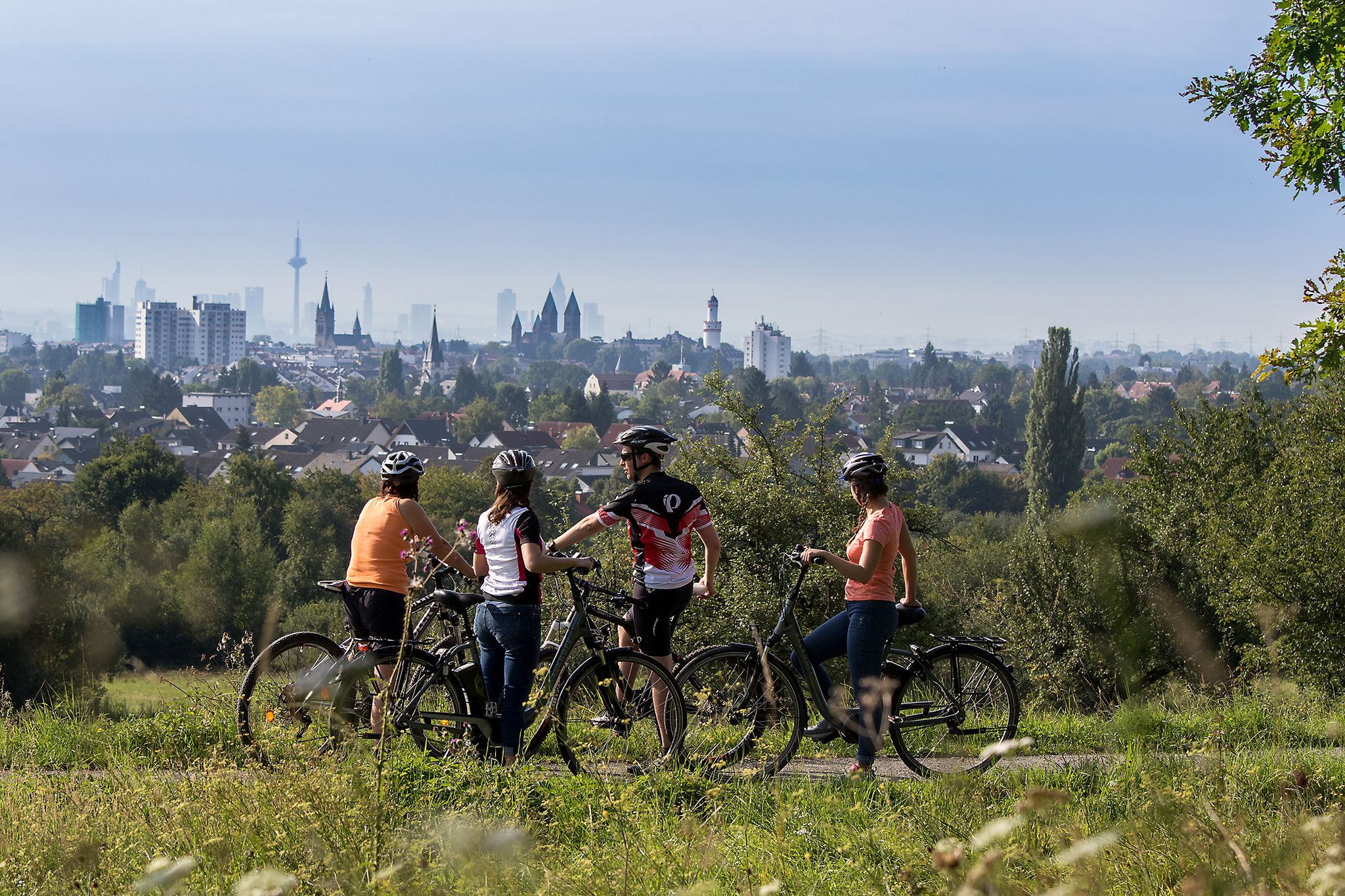
Road cycling around Hattersheim offers diverse landscapes, from the flat, scenic paths along the Main River to the challenging climbs of the Taunus Mountains. The region is characterized by a well-developed network of cycling routes, including sections of the Main River Cycle Route and paths within the Regionalpark RheinMain. Cyclists can experience river panoramas, agricultural areas with vineyards and orchards, and the varied topography leading towards the Taunus hills. The area provides a mix of terrain suitable for different road cycling preferences.
Best road cycling routes around Hattersheim
- The most popular road cycling route is Friedensbrücke — Frankfurt am Main 🚴♂️ – Old Railway Bridgehead loop from Eddersheim, a 41.8 miles (67.3 km) trail that takes 2 hours 39 minutes to complete. This moderate route follows the Main River, offering expansive views and connecting to Frankfurt.
- Another top favourite among local road cyclists is View of the Feldberg – Idstein Old Town loop from Hattersheim (Main), a difficult 67.1 miles (108.1 km) path. This route features significant elevation gain, leading towards the Taunus hills and offering distant views of the Großer Feldberg.
- Local road cyclists also love the Nidda Cycle Path – Nidda River Rapids loop from Hattersheim am Main, a 48.8 miles (78.6 km) trail leading through river landscapes and green corridors, often completed in about 3 hours 13 minutes.
- Road cycling around Hattersheim is defined by river valleys, agricultural plains with orchards and vineyards, and the foothills of the Taunus Mountains. The network offers options for various ability levels, from gentle riverside rides to more demanding ascents.
- The routes in Hattersheim are highly rated by the komoot community with an average score of 4.5 stars from over 120 reviews. More than 3000 road cyclists have used komoot to explore Hattersheim's varied terrain.
Last updated: October 14, 2026
4.6
(60)
1,286
riders
67.7km
02:41
200m
200m
Moderate road ride. Good fitness required. Some segments of this route may be unpaved and difficult to ride.
4.9
(11)
382
riders
Hard road ride. Very good fitness required. Mostly well-paved surfaces and easy to ride.

4.8
(15)
208
riders
Moderate road ride. Good fitness required. Some segments of this route may be unpaved and difficult to ride.
4.3
(10)
156
riders
Moderate road ride. Good fitness required. Mostly well-paved surfaces and easy to ride.
4.6
(5)
144
riders
Moderate road ride. Good fitness required. Mostly well-paved surfaces and easy to ride.
Get access to more routes and recommendations from other explorers.
Already have an account?
Our route recommendations are based on thousands of hikes, rides, and runs completed by other people on komoot.
Start today with a free account
Your next adventure awaits.


Tips from the Community

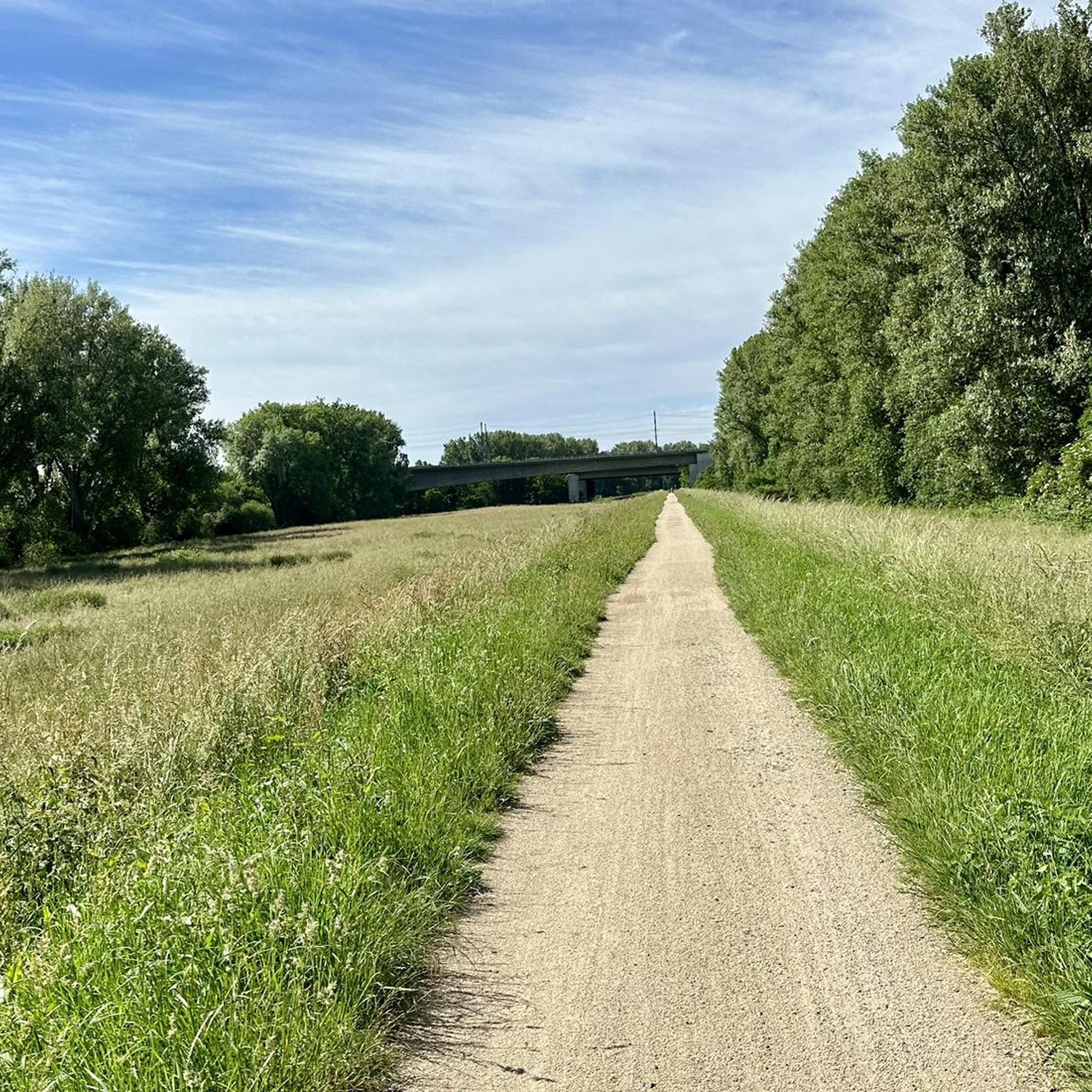
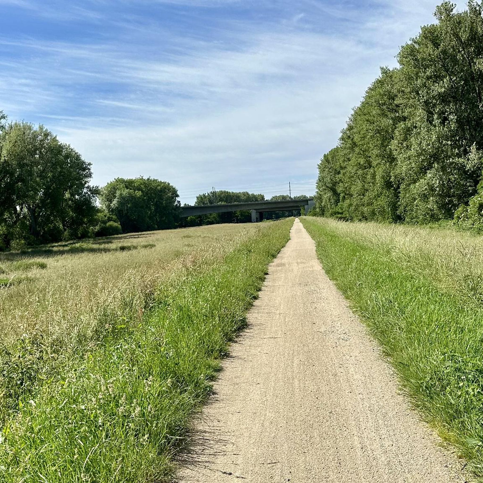
Beautiful country road where you can also race along (if there is no strong headwind).
0
0

The Hochheim vineyards are world-famous and beautiful. When Riesling from Germany was the most sought-after and expensive wine in the world during the Victorian era (mid to late 19th century) (even ahead of Burgundy and Bordeaux), it was also the latest "craze" in England. Due to the German roots of the English royal family and the connections to Hochheim, "Hochheimer" became synonymous with German Riesling. Since the English tended to pronounce "ch" as "k", "Hochheimer" quickly became "Hockheimer" and ultimately a short form "the Hock". Hock is still a fixed term in English traditional wine bars today.
0
0

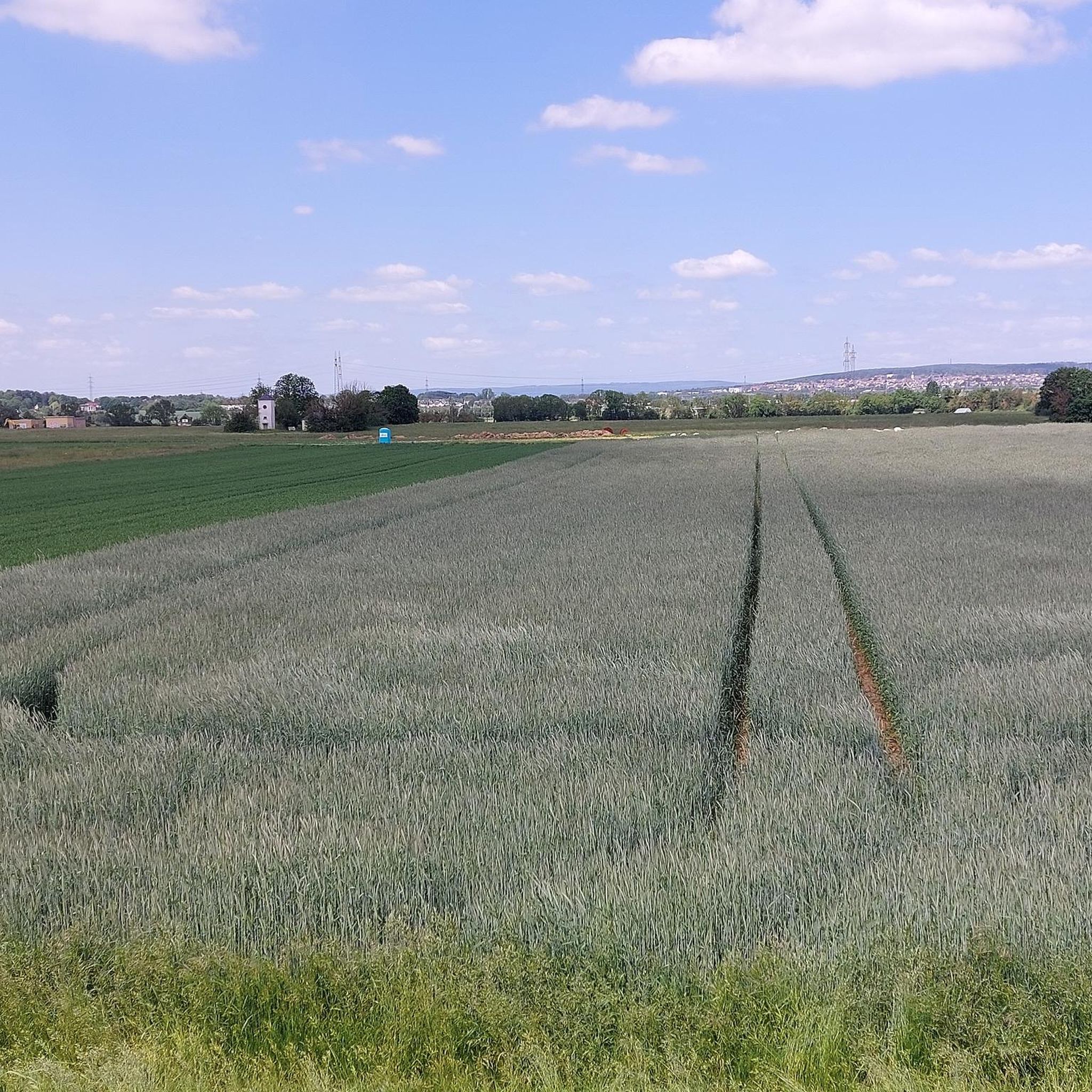
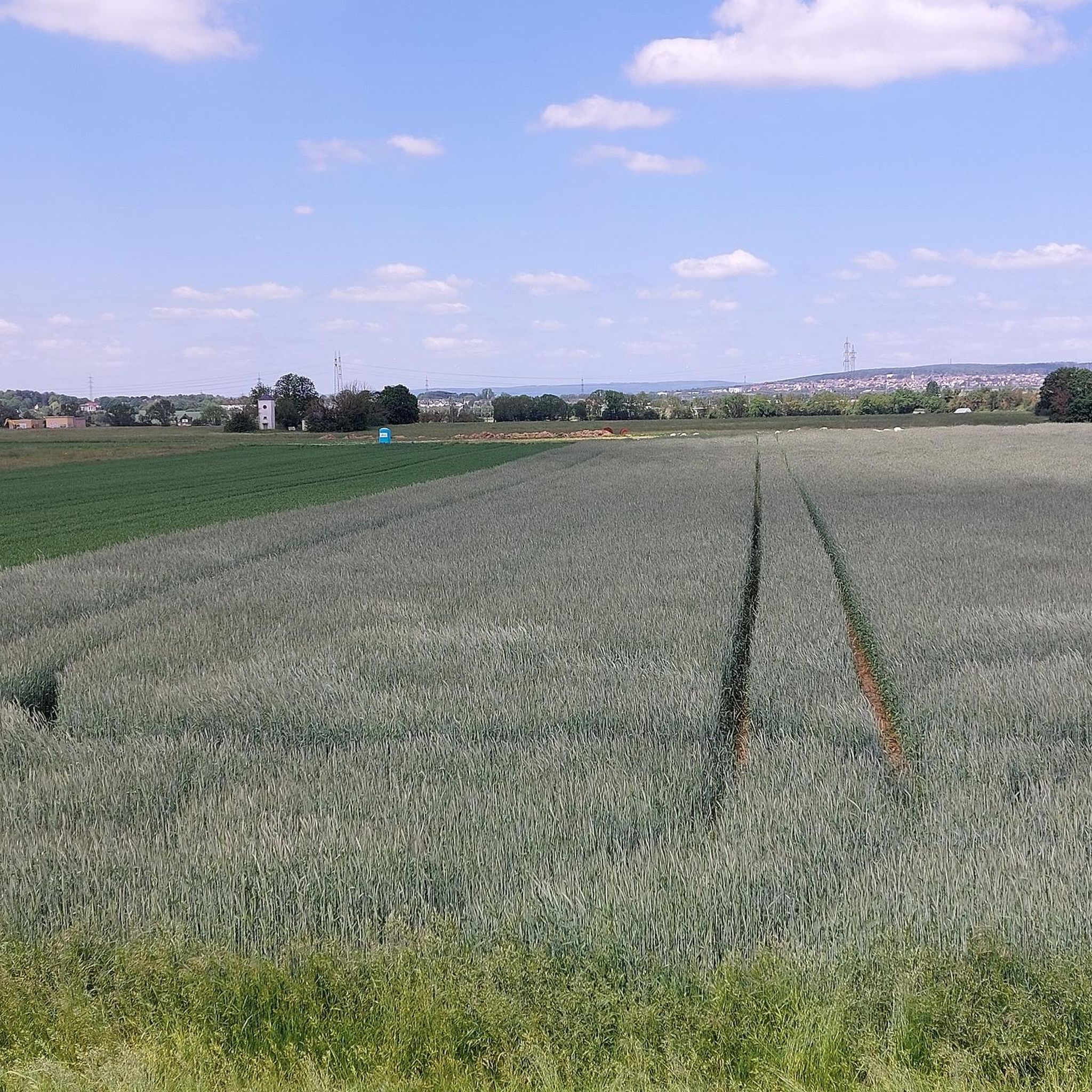
It's always nice to let your gaze wander over the vineyards.
2
0

With a total length of 527 kilometers, the Main is the longest right-hand tributary of the Rhine and flows as a lifeline through the heart of the entire Rhine-Main region. It officially originates near Kulmbach in Bavaria through the confluence of its two source rivers, the Red Main and the White Main. On its westward journey, the river winds in characteristic loops through Franconia and Hesse, past major metropolises such as Würzburg, Offenbach, and Frankfurt, before finally flowing into the Rhine near Mainz-Kastel (opposite Mainz). For the region, the Main holds immense economic importance as a major shipping route, as it forms a continuous waterway from the North Sea to the Black Sea via the Main-Danube Canal. In addition to its industrial role, the river has been transformed over the past decades into one of the most important areas for local recreation and culture. Kilometers of green spaces stretch along its banks, such as the Frankfurt Mainufer or the promenades in Rüsselsheim and Höchst, offering space for sports, gastronomy, and relaxation. The popular, largely flat Main Cycle Path accompanies the river along its entire length, connecting historic old towns, wine regions, and modern cityscapes. Furthermore, the river significantly shapes the region's climate and nature and serves as a habitat for numerous protected water birds and fish species.
10
0

Beautiful winding ascent to Schlossborn
0
0
The Mainz South Bridge (also known as the Mainz-South Railway Bridge, and at times as the Mainz-Gustavsburg Railway Bridge) is a railway bridge on the Mainz–Frankfurt railway line, spanning the Rhine at river kilometer 496.4 and connecting Mainz in Rhineland-Palatinate with Gustavsburg in Hesse. A footbridge attached to the north side of the bridge allows pedestrians and cyclists to cross the river.
19
2

From the Friedensbrücke, you have a wide, uninterrupted view of the Frankfurt skyline—especially beautiful at sunset. For a quick break, the Lilit Café, located right at the bridgehead in Sachsenhausen, is a great place to stop for a coffee to go.
3
0

Forgotten Opel Manta B
1
1
Frequently Asked Questions
How many road cycling routes are available around Hattersheim?
There are over 40 road cycling routes available around Hattersheim, catering to various skill levels. You'll find a mix of easy, moderate, and difficult options to explore.
What kind of terrain can I expect on road cycling routes near Hattersheim?
The terrain around Hattersheim is quite diverse. You can expect mostly flat, scenic paths along the Main River, agricultural plains with vineyards and orchards, and more challenging, hilly sections as you approach the foothills of the Taunus Mountains. This variety allows for different road cycling experiences.
What is the best time of year for road cycling in Hattersheim?
The best times for road cycling in the Main-Taunus district are spring (April to June) and autumn (September to October). During these seasons, you'll experience mild temperatures and pleasant weather conditions, ideal for longer rides.
Are there easy road cycling routes suitable for beginners or less demanding rides?
Yes, Hattersheim offers several less demanding road cycling routes. The paths along the Main River, for instance, are largely flat and well-maintained, providing an ideal setting for leisurely rides. These routes often feature idyllic river panoramas and are suitable for various fitness levels.
Are there challenging road cycling routes for experienced riders?
Absolutely. For experienced riders seeking a challenge, the hilly topography of the Taunus region offers demanding climbs and descents. Routes like the View of the Feldberg – Idstein Old Town loop from Hattersheim (Main) feature significant elevation gain, leading towards the Taunus hills and offering distant views of the Großer Feldberg.
What natural features can I see along the road cycling routes?
You'll encounter a variety of natural features, including the scenic Main River, the revitalized Schwarzbach Creek, and the unique landscapes of the Weilbacher Kiesgruben nature reserve. The region also boasts extensive vineyards and traditional orchards, especially in areas like Flörsheimer Schweiz, adding to the picturesque scenery.
Are there any notable landmarks or viewpoints on the routes?
Yes, many routes offer interesting landmarks and viewpoints. You might pass by the Großer Mannstein (Staufenschwur Lookout), offering expansive views. Within the Regionalpark RheinMain, you can also find unique attractions like the Rosengarten with its pyramid structure, the Speierlingsallee, and the Nussbaumquartier. Some routes also offer distant views of the Taunus mountains and the Rhine-Main plain.
Can I find circular road cycling routes around Hattersheim?
Yes, many road cycling routes around Hattersheim are designed as loops, allowing you to start and end in the same location. An example is the Friedensbrücke — Frankfurt am Main 🚴♂️ – Old Railway Bridgehead loop from Eddersheim, which follows the Main River and connects to Frankfurt.
Are there long-distance road cycling options from Hattersheim?
Hattersheim is well-connected to long-distance cycling networks. The proximity to the Main River Cycle Route provides opportunities for extended tours. Additionally, sections of the D-Route 5, a long-distance cycle path, are accessible, offering options for longer excursions beyond the immediate Hattersheim area.
What do other cyclists say about the road cycling routes in Hattersheim?
The road cycling routes in Hattersheim are highly rated by the komoot community, with an average score of 4.5 stars from over 120 reviews. Cyclists often praise the diverse landscapes, from river panoramas to challenging Taunus climbs, and the well-developed network of paths.
How accessible are the road cycling routes by public transport?
Hattersheim am Main has good public transport connections, making many starting points for road cycling routes accessible by train or bus. This allows cyclists to reach various parts of the region conveniently without needing a car.
Is there parking available near the road cycling routes?
Yes, parking is generally available in and around Hattersheim, particularly near popular starting points for cycling routes. Many towns and villages along the Main River and within the Regionalpark RheinMain offer designated parking areas for visitors.
Most popular routes around Hattersheim
Most popular attractions around Hattersheim

Get inspired with the komoot mobile app


Explore more
Browse the best Road cycling routes in other regions.
