The best walks and hikes around Hartenfels
4.6
(11651)
37,029
hikers
1,181
hikes
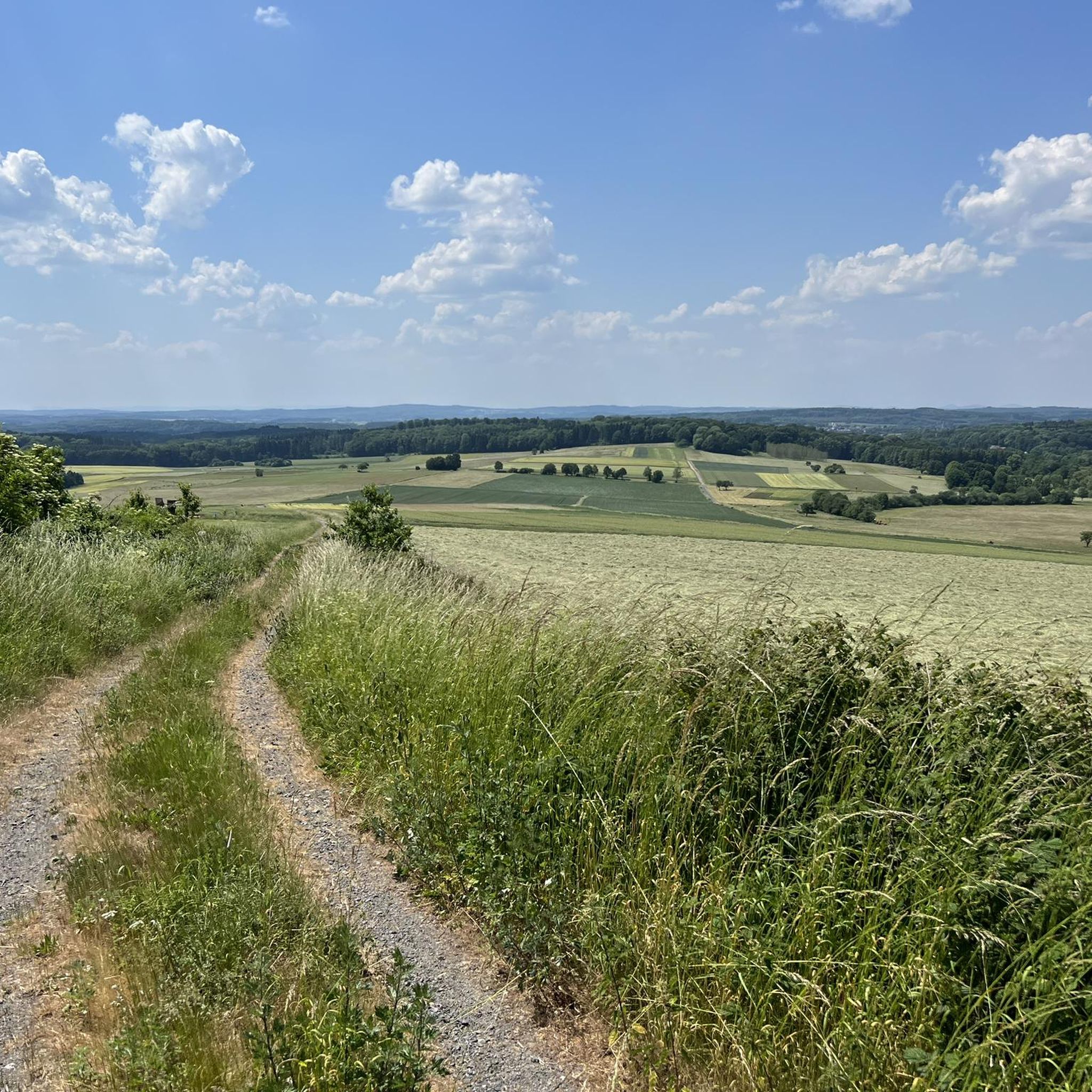
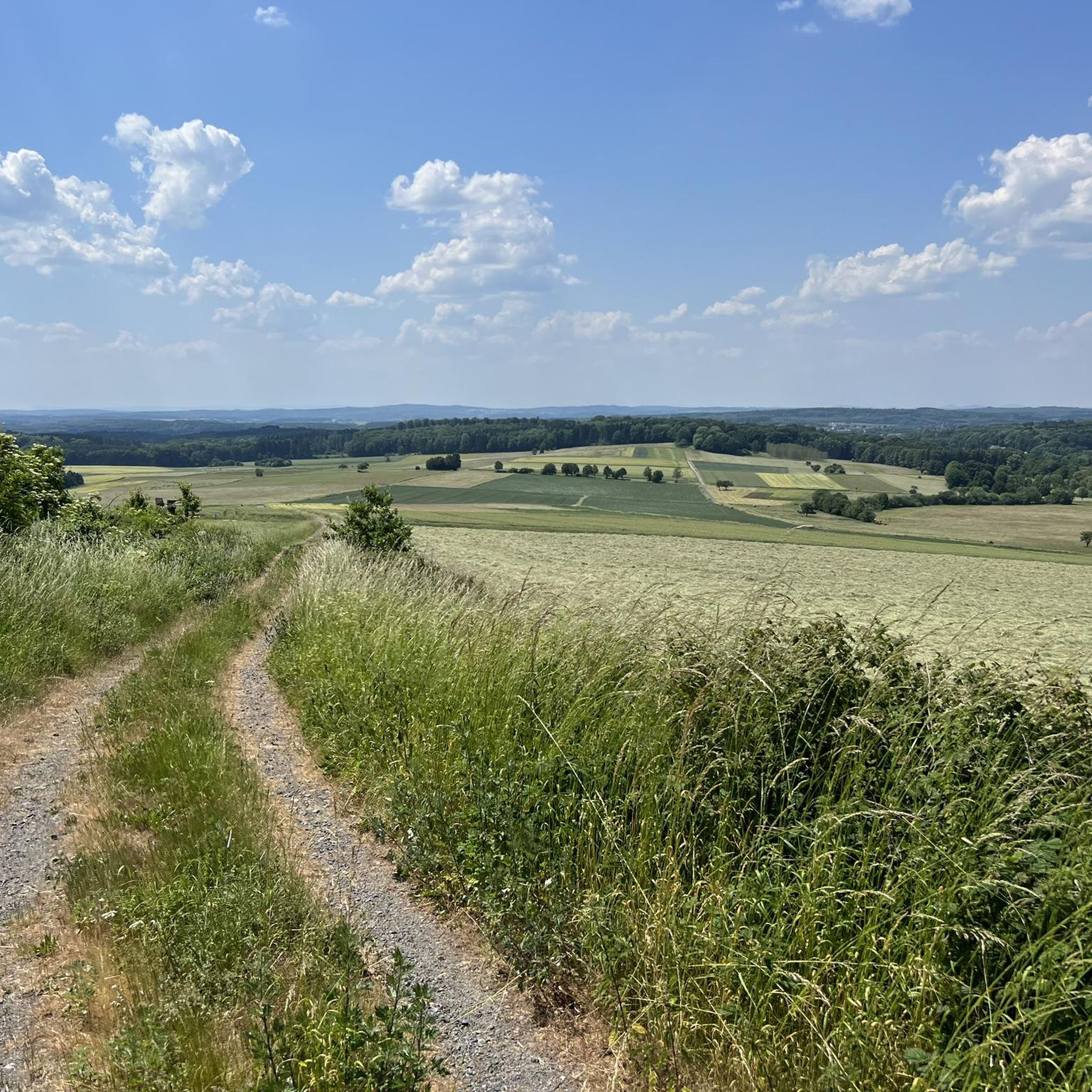
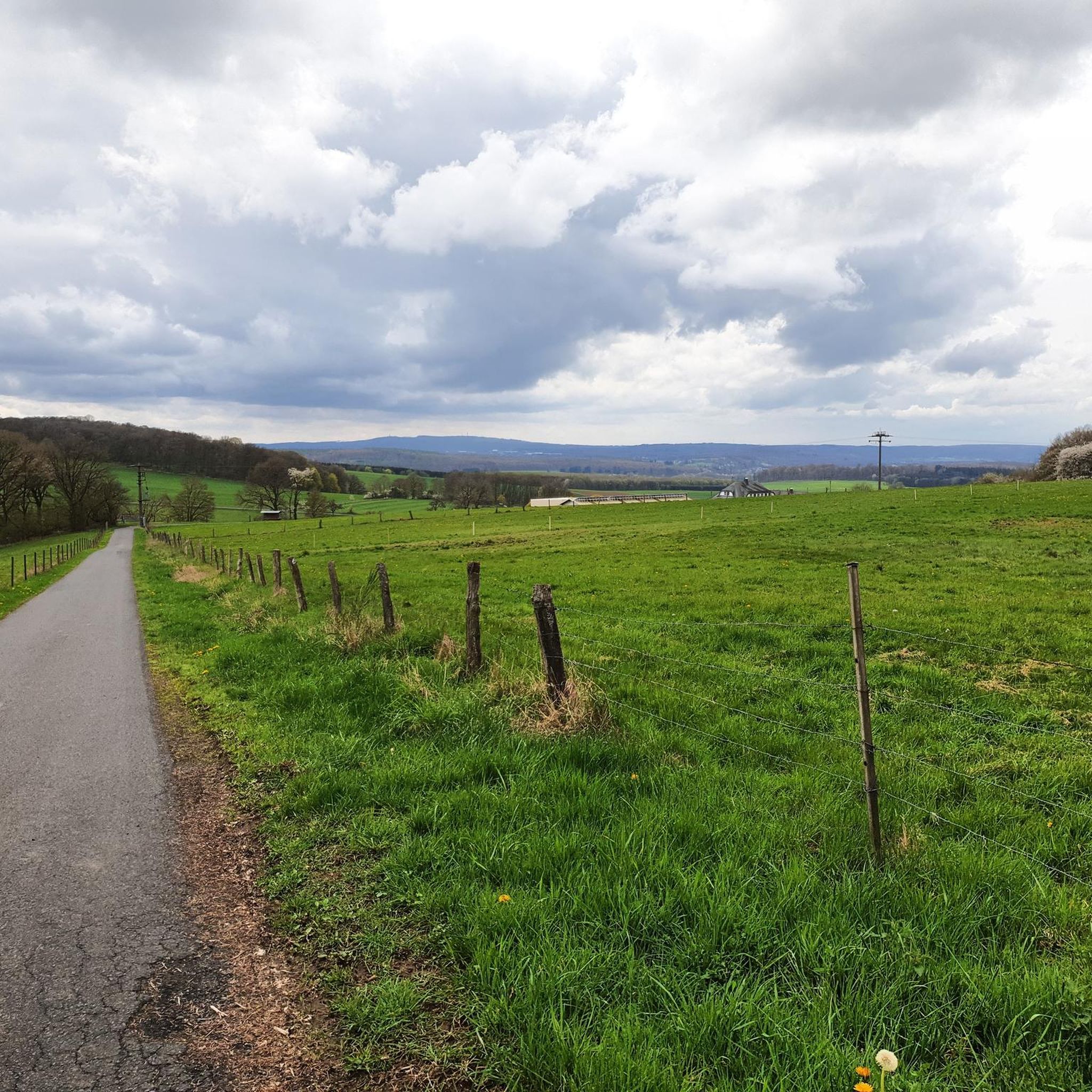
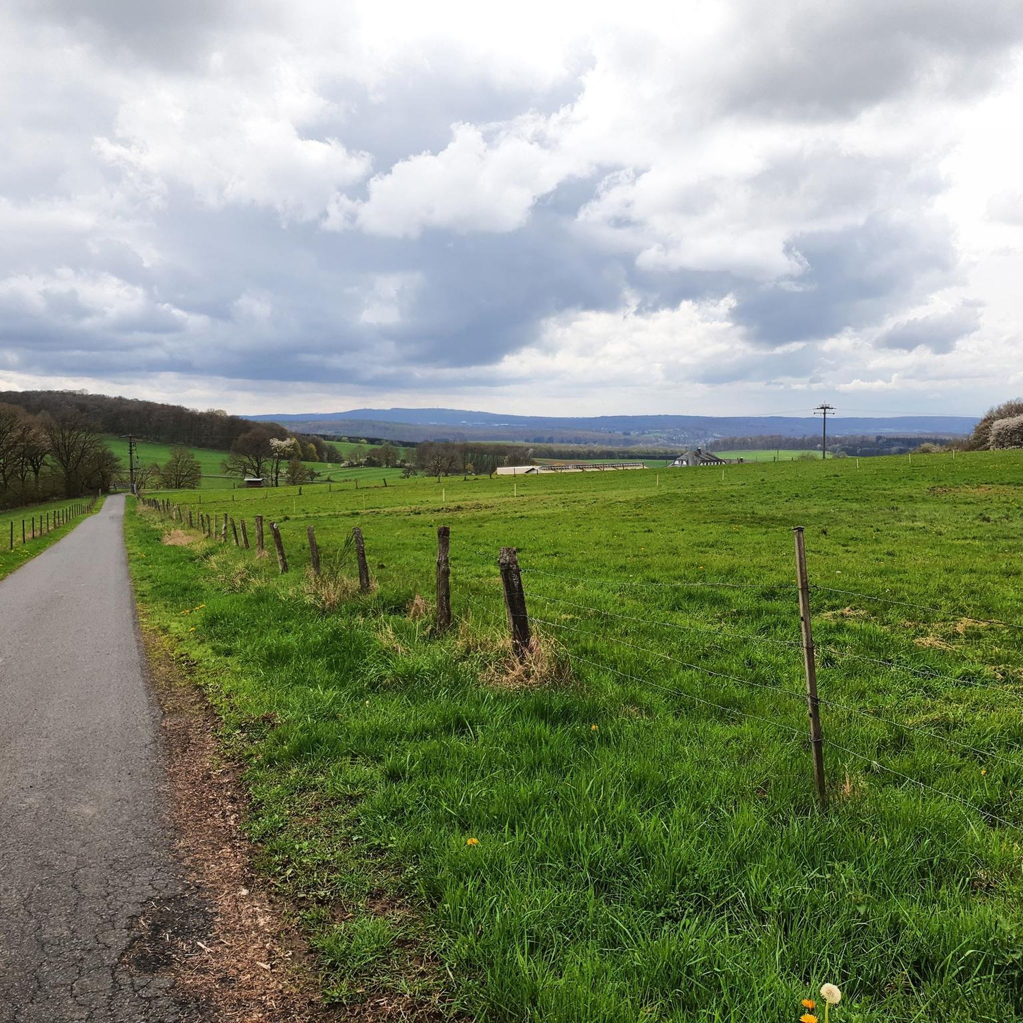
Hiking around Hartenfels, situated in the Westerwald region, offers trails through a landscape characterized by rolling hills, dense woodlands, and numerous small ponds and lakes. The area provides varied terrain suitable for different hiking experiences, from gentle walks around water bodies to routes through forested areas.
Best hiking trails around Hartenfels
- The most popular hiking route is View of the Dreifelder Pond – Haidenweiher loop from Dreifelden, a 4.1 miles (6.6 km) trail that takes 1 hour 43 minutes…
Last updated: October 8, 2026
4.6
(1087)
3,106
hikers
Easy hike. Great for any fitness level. Easily-accessible paths. Suitable for all skill levels.
4.7
(144)
410
hikers
15.7km
04:06
110m
110m
Moderate hike. Good fitness required. Easily-accessible paths. Suitable for all skill levels.

4.7
(101)
269
hikers
7.04km
01:51
60m
60m
Easy hike. Great for any fitness level. Easily-accessible paths. Suitable for all skill levels.
4.6
(47)
155
hikers
Easy hike. Great for any fitness level. Easily-accessible paths. Suitable for all skill levels.
4.6
(30)
87
hikers
Moderate hike. Good fitness required. Easily-accessible paths. Suitable for all skill levels.
Get access to more routes and recommendations from other explorers.
Already have an account?
Our route recommendations are based on thousands of hikes, rides, and runs completed by other people on komoot.
Start today with a free account
Your next adventure awaits.
Tips from the Community

Hofmannsweiher is always worth a hike.
0
0

The Hofmannsweiher, with around 16 hectares, is the smallest body of water on the Westerwald lake plateau in the Hohe Westerwald. It is located near Steinebach an der Wied and was artificially created around 1668 by damming the upper Wied. Today, the idyllic body of water belongs to the NABU Foundation Nationales Naturerbe. As a protected natural area, the pond offers a valuable retreat for rare plant and animal species such as the "Moderlieschen". The fish-rich lake is surrounded by dense forests, marsh meadows, and a historic dam overgrown with oaks.
0
0

Enjoy peace and nature on a beautiful resting bench
0
0

...including a sunbed, but without a direct view of the Dreifelder Weiher.
1
0

Beautiful Dreifelder Weiher, beautifully situated, idyllic and quiet.
0
0

Although it's a bit away from the pond, it's quiet here, except on Sundays and public holidays, of course.
3
0

The large Freilingen campsite is located at the Postweiher pond. Visitors will find a large lawn, swimming areas, and boat rentals. The water quality is excellent. Various hiking trails run along the Postweiher pond, including the 5- and 7-Weiher-Weg (5 and 7-Weiher-Weg) and the WesterwaldSteig (Westerwald Trail).
0
0

Frequently Asked Questions
What is the general difficulty of hiking trails around Hartenfels?
The hiking trails around Hartenfels are predominantly easy to moderate. Out of over 1,100 routes, approximately 755 are classified as easy, and 350 as moderate, making the area accessible for a wide range of fitness levels.
Are there many circular hiking routes available in Hartenfels?
Yes, Hartenfels is known for its numerous circular routes, often looping around the many ponds and through forested areas. For example, the Waagweiher Herschbach – Wellerseifen Forest loop from Hartenfels is a moderate circular trail that takes you through varied landscapes.
What kind of natural attractions can I expect to see along the trails in Hartenfels?
The region is characterized by its rolling hills, dense woodlands, and numerous small ponds and lakes. Many trails offer scenic views of these water bodies, such as the Shore of the Postweiher – View of the Hausweiher loop from Dreifelden, which showcases the local pond landscapes.
Are there any family-friendly hiking options in Hartenfels?
Absolutely. Many of the easy, shorter circular routes around the ponds are ideal for families. These trails often have minimal elevation gain and offer pleasant scenery for all ages. The Hofmanns Pond – View of the Dreifelder Weiher loop from Dreifelden is a great example, being only 2.5 miles (4.1 km) long.
What do other hikers enjoy the most about hiking in Hartenfels?
The area is highly rated by the komoot community, with an average score of 4.6 stars from over 9,000 reviews. Reviewers often praise the tranquil pond landscapes, the well-maintained paths, and the variety of easy to moderate routes suitable for different preferences.
Are there any historical or cultural landmarks to explore near the hiking trails?
Yes, the region offers several interesting historical sites. You can explore places like the Assberg slate mine or the Ruins of Burg Vroneck (Froneck-Nister). The Hachenburg Old Town and Market Square is also a notable historical site nearby.
What is the best season for hiking in Hartenfels?
Hartenfels offers enjoyable hiking experiences throughout the year. Spring brings lush greenery and blooming flora, while autumn transforms the woodlands with vibrant colors. Summer is perfect for walks around the ponds, and even winter can be beautiful with snow-covered landscapes, though some paths might be slippery.
Are there any less crowded hiking trails around Hartenfels?
While popular routes can see more visitors, with over 1,100 trails available, it's easy to find quieter paths, especially away from the main pond loops. Exploring some of the slightly longer or moderate trails further into the Wellerseifen Forest can offer a more secluded experience.
Are there options for parking near the trailheads in Hartenfels?
Yes, many trailheads in and around Hartenfels, particularly those near popular starting points like Dreifelden or Steinen, offer designated parking areas. It's advisable to check the specific tour details on komoot for parking information related to your chosen route.
Are dogs allowed on the hiking trails in Hartenfels?
Generally, dogs are welcome on the hiking trails in Hartenfels. However, it's always recommended to keep them on a leash, especially in nature reserves, near livestock, or in areas with wildlife. Please ensure you clean up after your pet to maintain the natural beauty of the area.
Are there any trails with particularly good views in Hartenfels?
Many trails offer excellent views, especially those that loop around the larger ponds. The View of the Brinkenweiher – Postweiher loop from Steinen, for instance, provides scenic vistas of the Brinkenweiher and Postweiher, which are highlights of the region's landscape.
Can I access the Hartenfels hiking trails using public transport?
Public transport options to reach trailheads in Hartenfels and the surrounding Westerwald region can be limited compared to urban areas. It's best to research local bus routes or regional train connections to nearby towns and plan your hike accordingly. Some smaller villages might require a short walk or taxi ride to the trailhead.
Most popular routes around Hartenfels
Most popular attractions around Hartenfels

Get inspired with the komoot mobile app


Explore more
Browse the best Hikes in other regions.
