The best road cycling routes around Harsefeld
4.5
(115)
1,225
riders
74
rides
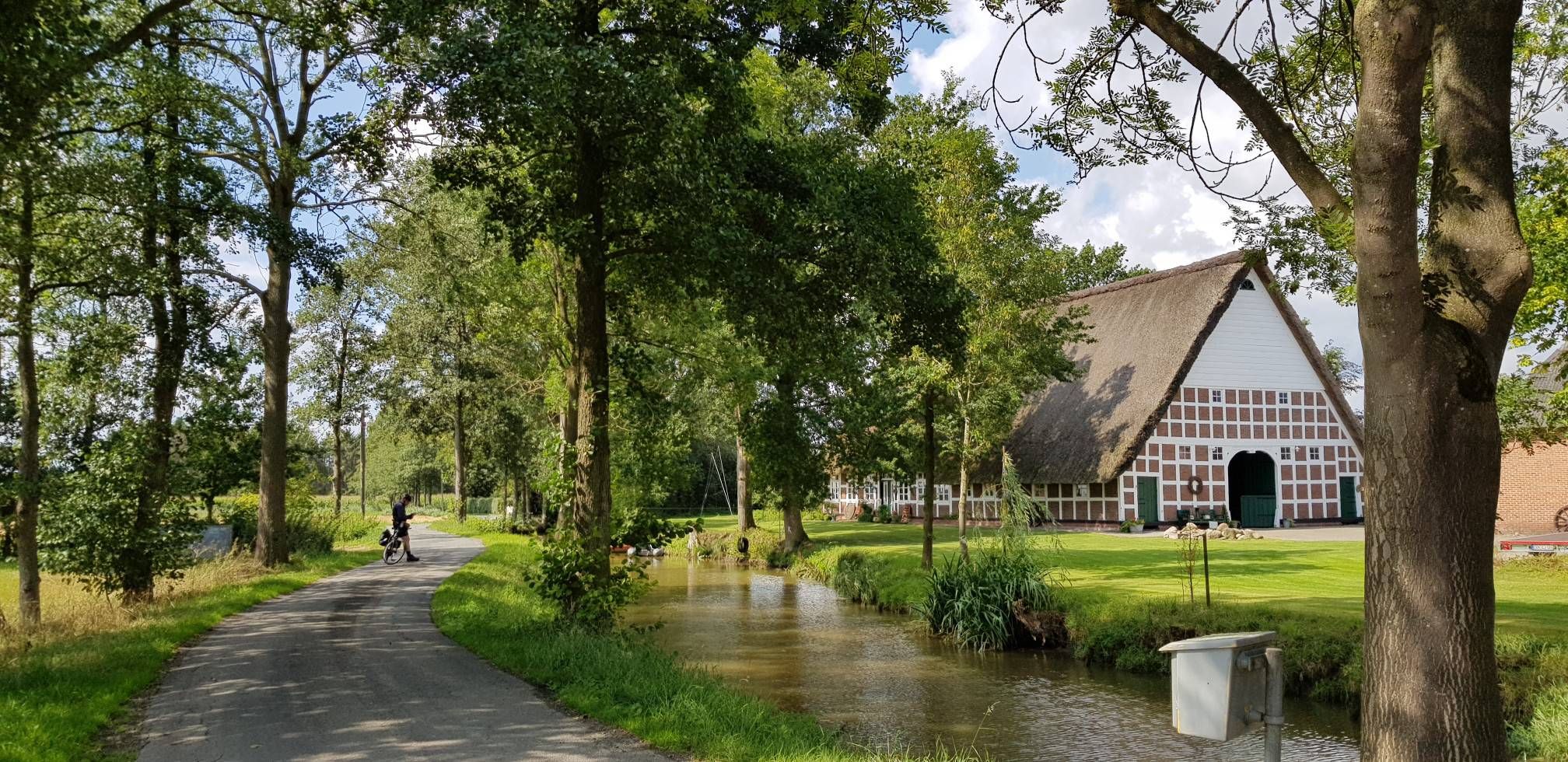
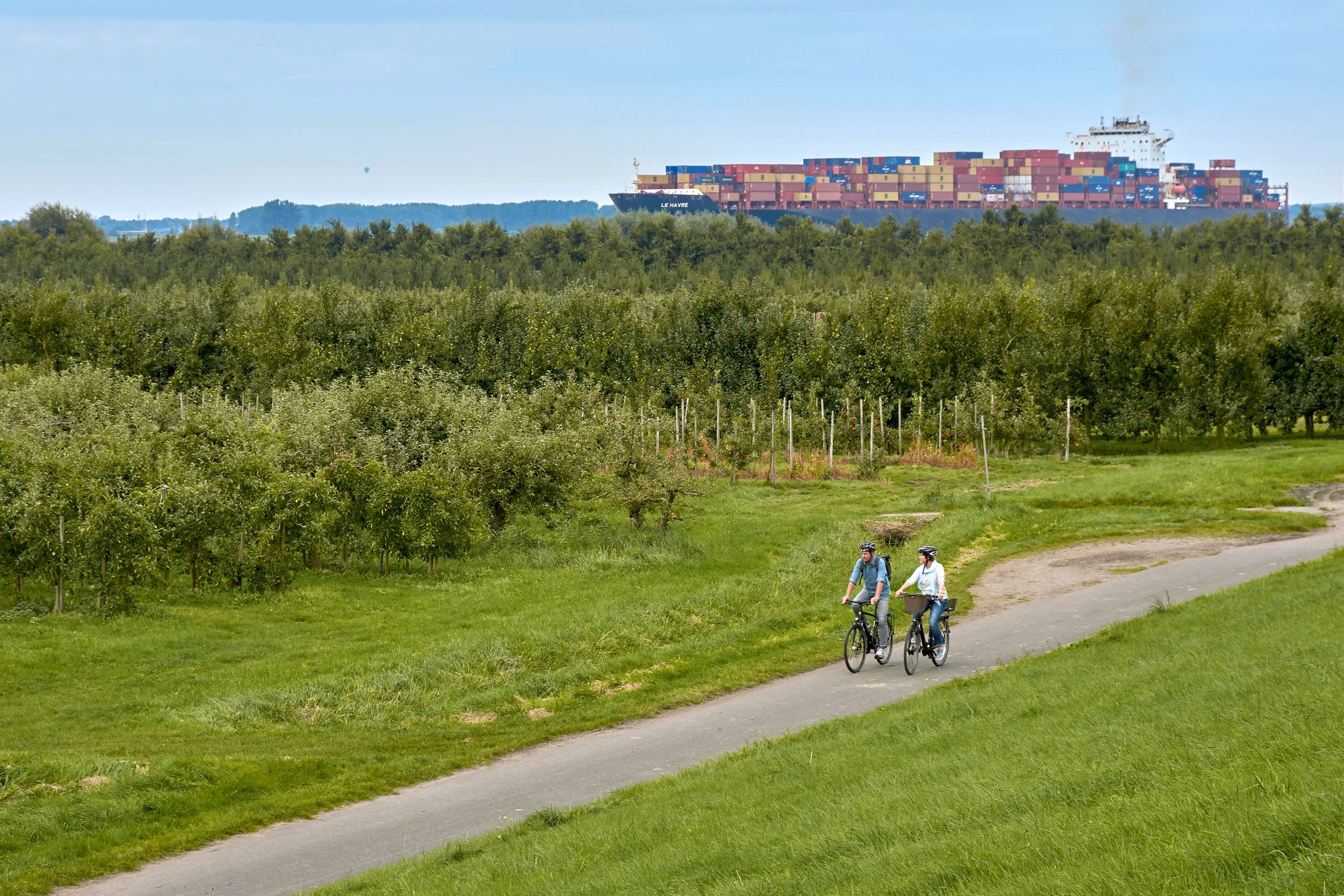
Road cycling around Harsefeld, located in the Elbe-Weser Triangle of Lower Saxony, Germany, features a gently rolling Geest landscape with varied terrain. Routes traverse through forests, such as the Naturwald Braken, and along river valleys like the Auetal and Este. The area provides a mix of well-paved and asphalted roads, with some routes offering views towards the Elbe river and the 65-meter-high Litberg hill.
Best road cycling routes around Harsefeld
- The most popular road cycling route is Hove Route (east…
Last updated: October 15, 2026
4.9
(20)
186
riders
66.4km
02:54
190m
190m
Moderate road ride. Good fitness required. Some segments of this route may be unpaved and difficult to ride.
4.6
(12)
76
riders
86.5km
03:35
160m
160m
Moderate road ride. Good fitness required. Mostly well-paved surfaces and easy to ride.

2.5
(2)
53
riders
69.4km
03:04
170m
170m
Moderate road ride. Good fitness required. Some segments of this route may be unpaved and difficult to ride.
4.8
(9)
58
riders
44.1km
01:54
100m
100m
Easy road ride. Great for any fitness level. Mostly well-paved surfaces and easy to ride.
5.0
(3)
38
riders
47.9km
02:10
190m
190m
Moderate road ride. Good fitness required. Mostly well-paved surfaces and easy to ride.
Get access to more routes and recommendations from other explorers.
Already have an account?
Our route recommendations are based on thousands of hikes, rides, and runs completed by other people on komoot.
Start today with a free account
Your next adventure awaits.


Tips from the Community

Interesting - you can also watch ships well - take a break
0
0

Very impressive when you stand in front of it.
0
0
Magnificent view of the Treppenviertel in Hamburg-Blankenese.
1
0

A fantastically beautiful cycling route leads along here amidst beautiful nature for the entire length of the route.
4
0
Here are the highlights; From Stade, along the Schwingedeich and in Wöhrden, we rode on the Butendiek (discover a new route). Great views of Stade, the St. Cosmae church tower, as well as the Schwinge and the surrounding 💚 landscape can be seen from here. Great photos of the Schwinge swing bridge, as well as of the power pylons can be photographed here. The route continues here to the Motor - und Yachtclub Stade e.V., great insights into the yacht club can be seen here. Here you are in a dead end and have to ride back. Also suitable and recommended as a hiking trail 👍🏼.
3
0
The current church celebrated its centenary in March 2010. It stands on the foundations of numerous older chapels and churches. The first is presumed to have been here as early as around the year 800. The first documented mention dates from 1352. This proves that the church has held a firm and very central place in Apensen for many centuries. In 1740, the church was severely damaged by a major fire, all church records burned. The church, which existed until 1909, was a simple, single-nave, rectangular building, whose masonry consisted mainly of fieldstones. In the west stood a wooden tower erected in 1752. The simple pews still stood on the bare earth, the central aisle was paved with bricks. Due to dilapidation, the church and tower were rebuilt in 1909. The current church building was designed by the renowned church architect Eduard Wendebourg from Hanover and solemnly consecrated in 1910.
1
0
Great bike route from Rutenbeck to Bliedersdorf. Great asphalt and great views of nature and fields on both sides.
3
0
Great bike path and hiking trail is located on this route.
1
0
Frequently Asked Questions
What kind of terrain can I expect when road cycling around Harsefeld?
Harsefeld offers a gently rolling Geest landscape, providing varied scenery for road cyclists. You'll find routes traversing through dense forests, such as the Naturwald Braken, and along picturesque river valleys like the Auetal and Este. The area features a mix of well-paved and asphalted roads, suitable for road cycling.
Are there road cycling routes suitable for beginners in Harsefeld?
Yes, Harsefeld offers a good selection of routes for beginners. There are 24 easy road cycling routes available. An example is the Great section near Bohnste – Reformation Stone on the Monks' Way loop from Harsefeld, which is 44.1 km long with moderate elevation gain.
What are some scenic viewpoints or natural features to look out for on road cycling routes in Harsefeld?
Road cycling routes in Harsefeld often provide views towards the Elbe river and the 65-meter-high Litberg hill, which offers panoramic views from its viewing tower. You can also enjoy the serene landscapes of the Naturwald Braken forest and the scenic banks of the Este river. For a specific viewpoint, consider the View of Auetal.
Are there any loop road cycling routes around Harsefeld?
Yes, many road cycling routes around Harsefeld are designed as loops, allowing you to start and end in the same location. A popular moderate loop is the Hove Route (east of the Este) – Elberadweg Riverside Path loop from Harsefeld, which covers 66.0 km along riverside paths.
What do other road cyclists enjoy most about cycling in Harsefeld?
The road cycling routes in Harsefeld are highly rated by the komoot community, with an average score of 4.6 stars from over 80 reviews. Cyclists often praise the varied terrain, the mix of well-paved roads, and the scenic beauty of the forests and river valleys.
What cultural or historical attractions can I see along the road cycling routes?
Cycling routes often pass through charming villages with half-timbered houses, such as those in Jork. You can also explore the historical Klosterpark and Amtshof Harsefeld, or visit the Garden of Stones archaeological site. The region is also part of themed routes like the 'Monastery Route,' which highlights centuries-old churches.
Are there any long-distance road cycling trails in the Harsefeld area?
Yes, there are longer routes for more experienced cyclists. For example, the Schwinge Bascule Bridge – Schwinge River Crossing loop from Ruschwedel is a moderate 87.3 km path that includes a river crossing and varied terrain.
When is the best time of year for road cycling in Harsefeld?
The region's diverse landscapes are enjoyable throughout the warmer months. Spring and autumn offer pleasant temperatures and beautiful scenery with changing foliage. While some routes might be accessible in winter, it's generally best to cycle from spring through early autumn to avoid potential icy conditions and enjoy the full natural beauty.
Are there places to park my car when starting a road cycling route in Harsefeld?
Yes, many routes are accessible with parking options. For instance, you can find a dedicated Parking Area and Shelter at Braken und Harselah, which serves as a convenient starting point for exploring the surrounding forests and trails.
Can I find cafes or places to rest along the road cycling routes?
Cycling routes often pass through charming villages where you can find local cafes and pubs. While specific establishments are not listed here, the presence of villages like Jork and Guderhandviertel along routes suggests opportunities for refreshments and rest stops.
How many road cycling routes are available around Harsefeld?
There are approximately 79 road cycling routes available around Harsefeld, offering a wide range of options for different skill levels and preferences.
What is the difficulty level of most road cycling routes in Harsefeld?
The majority of road cycling routes in Harsefeld are classified as moderate, with 55 moderate routes and 24 easy routes. This means you can expect varied terrain and some elevation changes, but nothing overly strenuous for regular cyclists.
Are there any routes that offer a mix of country roads and natural sections?
Yes, routes like the Vierden–Ippensen Country Road – Great section near Bohnste loop from Harsefeld combine country roads with sections near Bohnste, providing a diverse cycling experience through the local landscape.
Most popular attractions around Harsefeld

Get inspired with the komoot mobile app


Explore more
Browse the best Road cycling routes in other regions.
