The best running trails in San Jacinto Amilpas
4.5
(22)
293
runners
17
runs
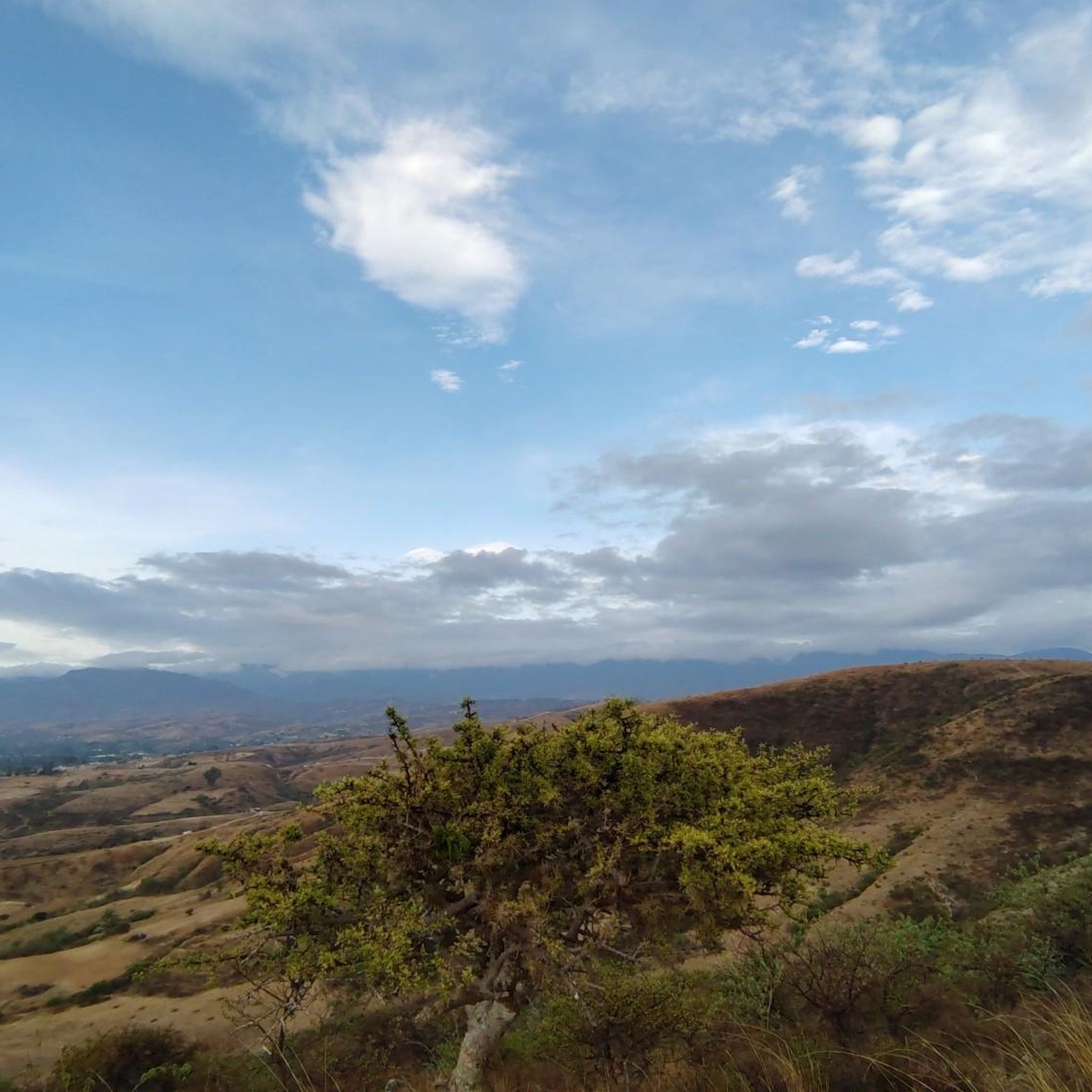
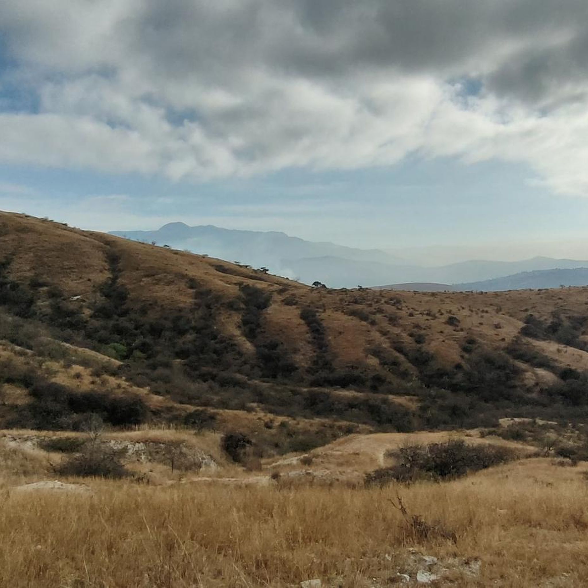
Jogging in San Jacinto Amilpas offers access to the diverse natural landscapes of the Valles Centrales region of Oaxaca, Mexico. The area features a temperate climate, contributing to a lush natural setting with various trees like eucalyptus, ash, and agave. The terrain includes rolling fields, agave plantations, and dense forests, providing varied surfaces and inclines for running. Oaxaca's mile-high altitude and nearby foothills also present opportunities for challenging hill runs.
Best jogging routes in San Jacinto Amilpas
- The most popular…
Last updated: July 1, 2026
4.0
(2)
25
runners
Moderate run. Good fitness required. Mostly paved surfaces. Suitable for all skill levels.
5.0
(1)
12
runners
5.30km
00:38
140m
140m
Hard run. Good fitness required. Sure-footedness, sturdy shoes and alpine experience required.

Sign up for free
11
runners
6.36km
00:45
210m
210m
Moderate run. Good fitness required. Mostly paved surfaces. Suitable for all skill levels.
5.0
(2)
14
runners
Moderate run. Good fitness required. Mostly paved surfaces. Suitable for all skill levels.
8
runners
9.24km
00:59
130m
130m
Moderate run. Good fitness required. Mostly paved surfaces. Suitable for all skill levels.
4.0
(1)
7
runners
6.50km
00:42
50m
50m
Moderate run. Good fitness required. Mostly paved surfaces. Suitable for all skill levels.
Get access to more routes and recommendations from other explorers.
Sign up for free
Already have an account?
Our route recommendations are based on thousands of hikes, rides, and runs completed by other people on komoot.
Start today with a free account
Your next adventure awaits.
Login or Signup
Popular around San Jacinto Amilpas

Tips from the Community

The steps take you to Oaxaca's local mountain, Cerro del Fortín, just outside the center. From the top you are rewarded with a magnificent view of Oaxaca. However, you should not go up in the dark.
0
0
Frequently Asked Questions
How many running routes are available in San Jacinto Amilpas?
There are currently 17 running routes available in San Jacinto Amilpas and the surrounding area. These routes offer a variety of experiences, from moderate paths to more challenging ascents.
What kind of terrain can I expect on the jogging routes in San Jacinto Amilpas?
The region around San Jacinto Amilpas offers diverse terrain for jogging. You can expect rolling fields, agave plantations, and dense forests, providing varied surfaces and inclines. Given Oaxaca's mile-high altitude, many routes, especially in the nearby foothills, also offer opportunities for challenging hill runs.
Are there easy running routes for beginners in San Jacinto Amilpas?
Yes, there is 1 easy running route available, and 11 moderate routes that are suitable for those looking for a less strenuous run. These routes provide a good starting point for beginners or those preferring a more relaxed pace.
Can I find routes suitable for a 5k run in San Jacinto Amilpas?
Absolutely. Many routes in the area are around the 5-kilometer mark or can be adapted for a 5k distance. For example, the Fuente Jardín Carbajal loop from Oaxaca City is 5.3 km and takes about 40 minutes to complete, offering a great option for a 5k run.
Are there challenging routes for experienced runners?
Yes, for experienced runners seeking a challenge, there are 5 difficult routes available. These often feature significant elevation changes, typical of the region's foothills and higher altitude. A good example is the Running loop from Oaxaca City, which is 7.7 km with considerable elevation gain.
What do other runners say about the trails in San Jacinto Amilpas?
The running routes in San Jacinto Amilpas are highly rated by the komoot community, with an average score of 4.6 stars from over 20 reviews. More than 250 runners have used komoot to explore the varied terrain, often praising the diverse landscapes and opportunities for challenging runs.
Are there any circular running routes in the area?
Yes, many of the running routes in San Jacinto Amilpas are designed as loops, offering a convenient way to start and finish in the same location. Examples include the Fuente Jardín Socrates loop from Oaxaca City and the Fuente de las Ocho Regiones – Fuente de exalumnos loop from Oaxaca City.
What is the best time of year to go running in San Jacinto Amilpas?
San Jacinto Amilpas enjoys a temperate climate. While rains primarily occur in the summer and early autumn, contributing to a lush natural setting, the region is generally pleasant for running year-round. Mornings are often ideal to avoid the midday sun, especially during warmer months.
Are the running trails in San Jacinto Amilpas suitable for families?
While specific family-friendly routes are not explicitly highlighted, the area's diverse terrain includes easier, moderate paths that could be suitable for families looking for a gentle jog or walk. It's advisable to check the difficulty grade and distance of individual routes to match your family's fitness level.
Can I bring my dog on the running trails?
The general outdoor environment around San Jacinto Amilpas is welcoming to pets. However, specific regulations for each trail or park may vary. It's always best to keep your dog on a leash and ensure you clean up after them to maintain the natural beauty of the area.
Are there scenic routes with good views?
The Valles Centrales region, including San Jacinto Amilpas, is known for its diverse landscapes, including rolling fields, agave plantations, and forests. Routes that venture into the nearby foothills or towards areas like Cerro del Fortin (in the broader Oaxaca area) offer excellent views over the city and surrounding natural beauty.
Is parking available near the running trails?
While specific parking information for each route isn't detailed, many routes originate from or pass through areas accessible by car, particularly those starting from Oaxaca City. For routes within more established parks like Bosque El Tequio (in the broader Oaxaca area), dedicated parking facilities are typically available.
Are there places to get coffee or refreshments near the running routes?
Given San Jacinto Amilpas's proximity to Oaxaca City, you'll find numerous cafes and refreshment spots, especially near routes that pass through urban or semi-urban areas. It's a good idea to plan your route to include stops in towns or villages if you wish to refuel.
Most popular routes in San Jacinto Amilpas

Get inspired with the komoot mobile app


Explore more
Browse the best Running Trails & Routes in other regions.
