The best walks and hikes around Halsbrücke
4.6
(1123)
4,352
hikers
155
hikes
Hiking around Halsbrücke offers a diverse landscape shaped by the Freiberger Mulde river valley and varied topography, with elevations ranging from approximately 296 to 375 meters above sea level. The region features natural monuments such as cliffs, sharp ridges, and unusual rock formations, alongside forested areas. Its significant mining and metallurgical past is integrated into the hiking offerings, providing trails that combine nature with industrial heritage.
Best hiking trails around Halsbrücke
- The most popular hiking route is Waterfall on the…
Last updated: June 27, 2026
4.9
(16)
46
hikers
Moderate hike. Good fitness required. Easily-accessible paths. Suitable for all skill levels.
4.7
(188)
471
hikers
Moderate hike. Good fitness required. Easily-accessible paths. Suitable for all skill levels.

Sign up for free
4.7
(47)
129
hikers
Easy hike. Great for any fitness level. Easily-accessible paths. Suitable for all skill levels.
4.2
(30)
97
hikers
Moderate hike. Good fitness required. Easily-accessible paths. Suitable for all skill levels.
4.4
(44)
121
hikers
7.12km
01:52
60m
60m
Easy hike. Great for any fitness level. Easily-accessible paths. Suitable for all skill levels.
Get access to more routes and recommendations from other explorers.
Sign up for free
Already have an account?
Our route recommendations are based on thousands of hikes, rides, and runs completed by other people on komoot.
Start today with a free account
Your next adventure awaits.
Login or Signup
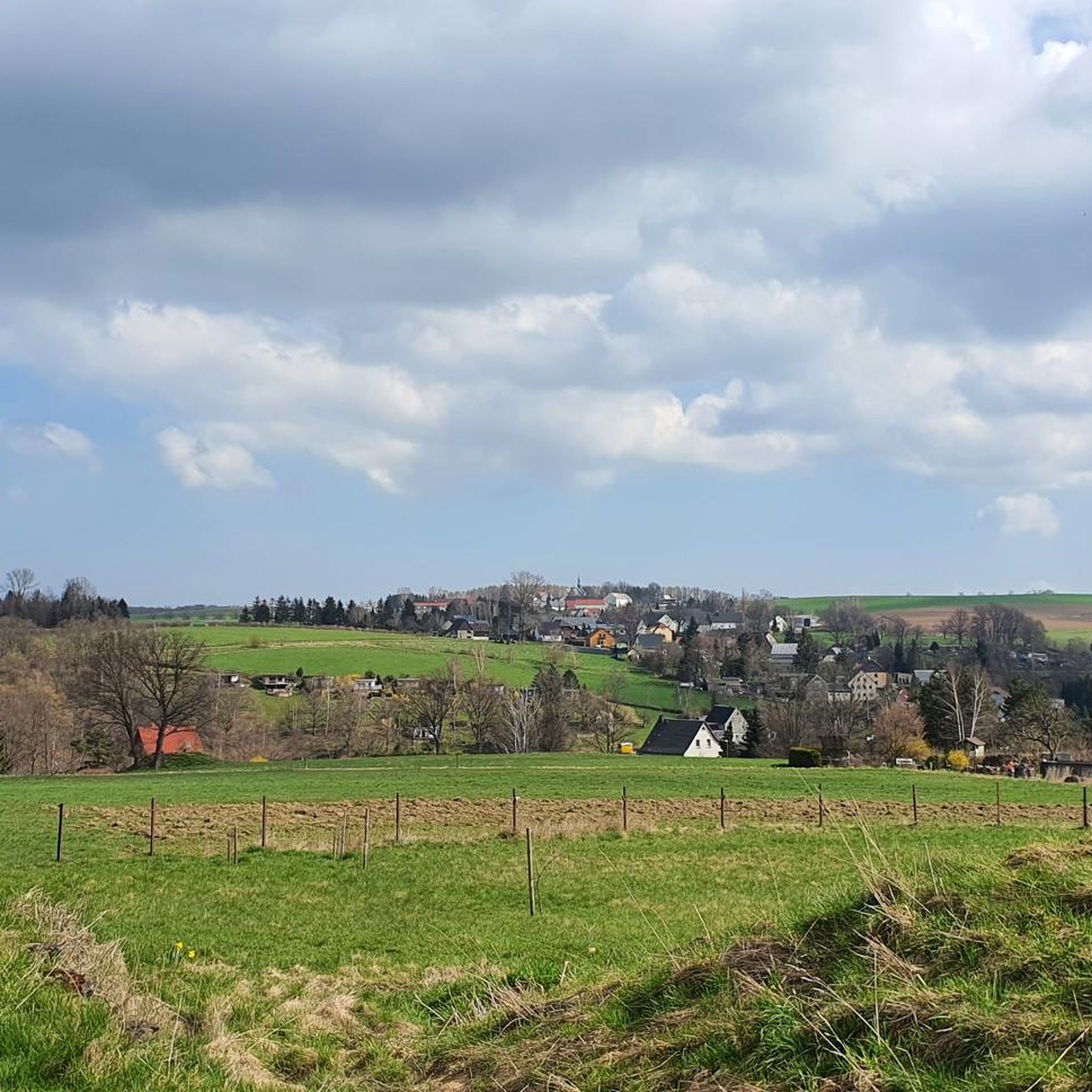
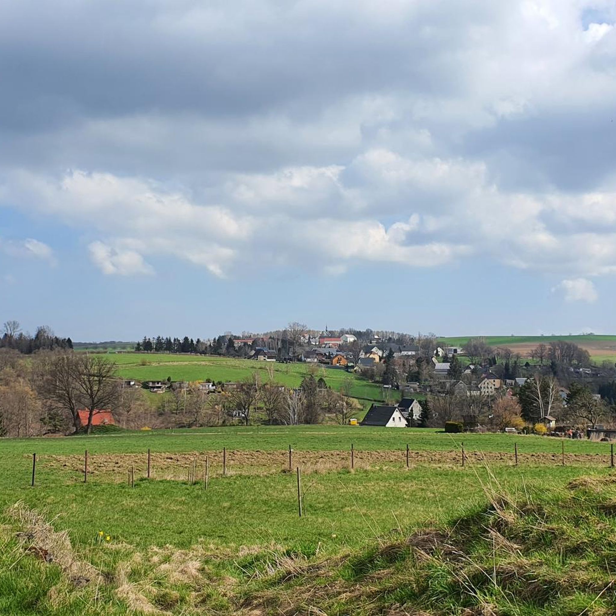
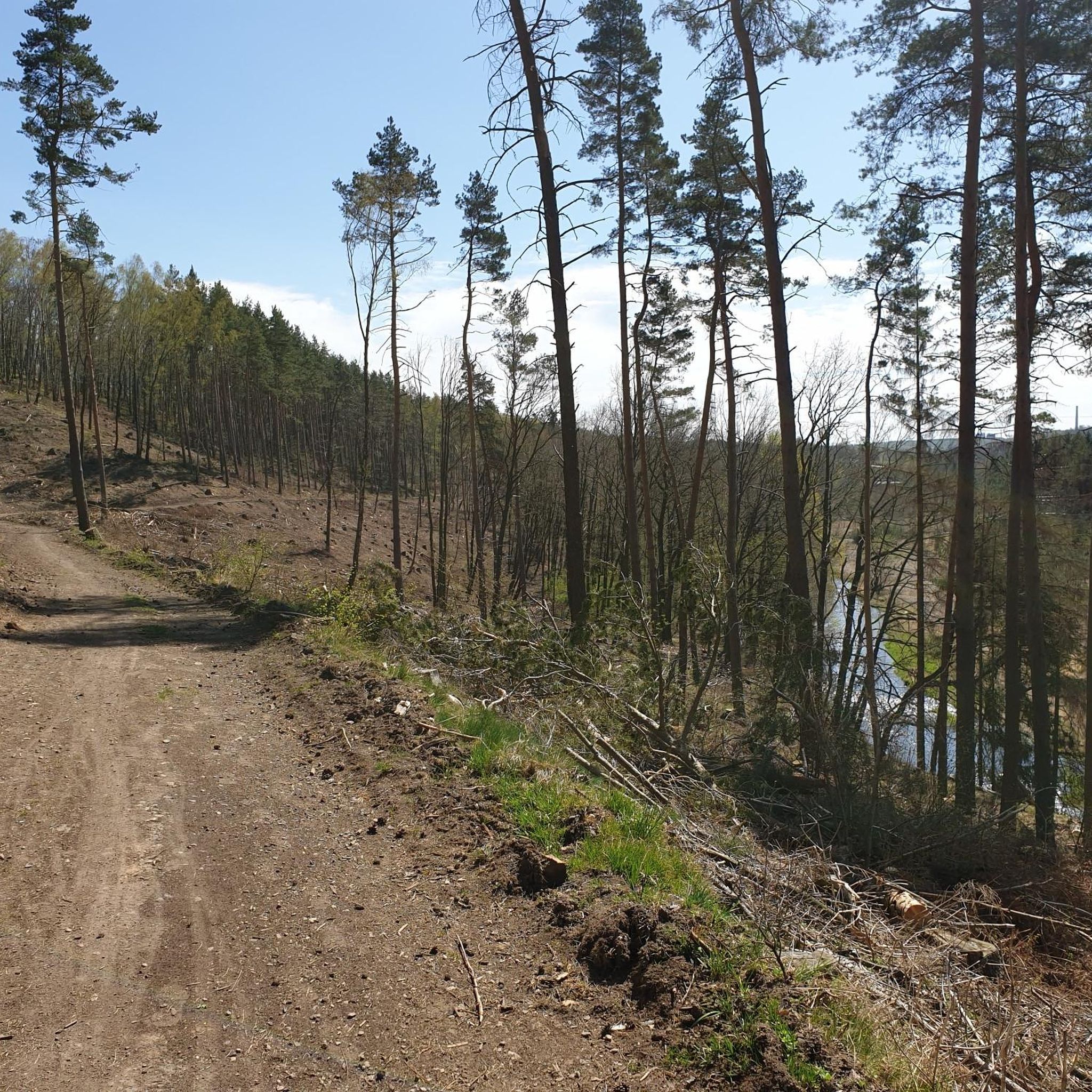
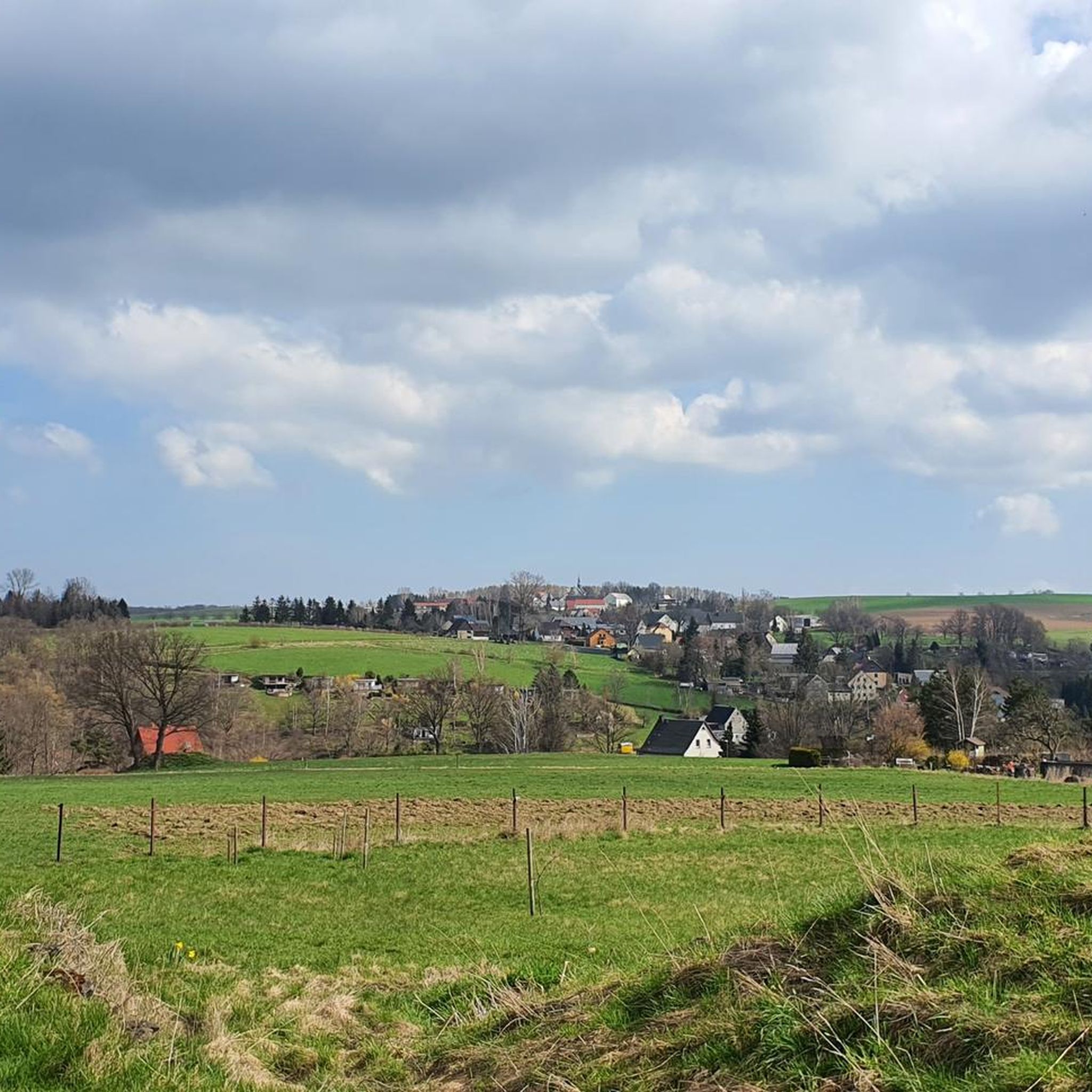

Tips from the Community

The bridge is open again (as of 04.07.2026)
0
0


Railing damaged by fallen trees, walk carefully
0
1
Viewpoint? Very overgrown but still a beautiful spot
0
0
Beautiful rest area with an old, historic stone bridge
0
1
free parking at the start of many hikes
0
1


The Red Graben was built between 1614 and 1615. Important tunnel entrances leading into the Mulde Valley, such as the Old Deep Prince's Tunnel, were incorporated into it. https://de.wikipedia.org/wiki/Roter_Graben_(Erzgebirge) Its name most likely derives from the phenomenon that iron oxide was once washed out of the mines and settled on the bottom as a fine red sludge.
1
0
Frequently Asked Questions
How many hiking trails are available in Halsbrücke?
Halsbrücke offers a comprehensive network of over 130 hiking routes. These trails cater to various fitness levels, ranging from easy riverside walks to more challenging paths through varied terrain.
What kind of landscapes and natural features can I expect while hiking in Halsbrücke?
The region around Halsbrücke is characterized by the scenic Freiberger Mulde river valley and varied topography, with elevations between 296 and 375 meters above sea level. You'll encounter natural monuments like steep cliffs, sharp ridges, and unusual rock formations, alongside forested areas. The landscape also features evidence of its significant mining past, blending nature with industrial heritage.
Are there easy hiking trails suitable for beginners or casual walkers?
Yes, Halsbrücke has plenty of options for easy hikes. Approximately 68 of the routes are classified as easy. A great example is the Waterfall on the Bobritzsch – Salt Bridge over the Bobritzsch River loop from Krummenhennersdorf, which is 3.7 miles (5.9 km) long and takes about 1 hour 35 minutes to complete, exploring the scenic Bobritzsch River.
Are there any challenging trails for experienced hikers?
For more adventurous hikers, Halsbrücke offers several challenging routes. While most trails are easy to moderate, there are 4 difficult routes available. The region's varied topography, including cliffs and ridges, provides opportunities for more strenuous hikes. The Brüderweg Cliffside Trail, for instance, is known for its narrow passages and auxiliary ropes, offering an exciting experience.
Are there family-friendly hiking options in Halsbrücke?
Yes, the area provides family-friendly options. Many of the easy trails along the Freiberger Mulde river are suitable for families. Additionally, the Klingenberg Dam offers a scenic stop with a beer garden and a family-friendly circular path around it, perfect for a day out with children.
Can I bring my dog on the hiking trails in Halsbrücke?
Most hiking trails in natural areas around Halsbrücke are generally dog-friendly. However, it's always recommended to keep dogs on a leash, especially in nature reserves or near wildlife, and to check specific trail regulations if available. The diverse landscapes, from river valleys to forests, offer plenty of enjoyable walks for you and your canine companion.
Are there circular hiking routes available?
Yes, many of the trails in Halsbrücke are designed as circular routes, allowing you to start and end at the same point. For example, the Ludwigschacht – Hammer Bridge (Freiberg) loop from Halsbrücke is a 4.4 miles (7.1 km) circular trail that takes you through areas rich in mining heritage.
What interesting landmarks or attractions can I see along the hiking trails?
Halsbrücke's trails often combine natural beauty with historical sites. You can explore the region's mining heritage, including the Altväterbrücke bridge and the Rote Graben. Other notable attractions include the Klingenberg Dam, the Ruins of Tharandt Castle, and various natural monuments like the Jungfernloch Cave and the Basalt Quarry and Hexenhäusl.
Are there trails that focus on the region's industrial heritage?
Absolutely. Halsbrücke has a rich mining and metallurgical past, and several trails are dedicated to exploring this history. You can discover important evidence of historical mining water management, such as the Altväterbrücke bridge, the ore canal, the Halsbrücker Rösche, and the Rote Graben. The Hohe Esse, a landmark since 1889, is also part of these historical routes.
What do other hikers enjoy most about hiking in Halsbrücke?
The area is highly rated by the komoot community, with an average score of 4.6 stars from over 580 reviews. Hikers often praise the diverse landscapes, the well-maintained network of paths, and the unique combination of natural beauty with historical mining sites. The variety of routes, from riverside walks to more challenging climbs, is also frequently highlighted.
Are there any trails with waterfalls or significant water features?
Yes, the region features several water-related attractions. The Waterfall on the Bobritzsch – Salt Bridge over the Bobritzsch River loop from Krummenhennersdorf is a popular route specifically highlighting a waterfall on the Bobritzsch River. The Freiberger Mulde river valley itself offers picturesque riverside walks, and the Klingenberg Dam is another significant water feature to explore.
How long do hikes in Halsbrücke typically take?
Hike durations vary significantly depending on the route's length and difficulty. For instance, an easy 3.7-mile (5.9 km) trail like the Waterfall on the Bobritzsch – Salt Bridge over the Bobritzsch River loop can take around 1 hour 35 minutes. Longer, moderate routes, such as the Bobritzsch River – Buchenbornrösche Lower Portal loop (7.1 miles / 11.5 km), typically require about 3 hours 7 minutes.
Is there public transport access to the hiking trails in Halsbrücke?
Halsbrücke is connected to the regional public transport network, making it possible to access various starting points for hikes. While specific bus stops or train stations near trailheads would need to be checked with local transport providers, the municipality's infrastructure generally supports access for visitors without private vehicles.
Most popular routes around Halsbrücke
Most popular attractions around Halsbrücke

Get inspired with the komoot mobile app


Explore more
Browse the best Hikes in other regions.
