The best road cycling routes in Cuautla
5.0
(5)
35
riders
7
rides
Road cycling in Cuautla, Morelos, is characterized by its varied topography, ranging from flat stretches to significant climbs, with an average elevation around 4,245 feet (1,294 meters). The region features dedicated cycling paths, known as "ciclovías," and a network of rural and paved roads. These routes traverse diverse landscapes, including historic haciendas, extensive cane fields, and wooded mountains. The area's proximity to the Iztaccihuatl-Popocatepetl National Park also provides routes with volcanic panoramas and challenging ascents.
Best road cycling routes in Cuautla
- The most popular road cycling route is Rock Formations of Tlayacapan – La Loma Viewpoint loop from Antigua Estación de Ferrocarril Calderón, a 54.3 miles (87.4 km) trail that takes 4 hours 44 minutes to complete. This route features significant elevation gain and offers views of rock formations and a viewpoint.
- Another top favourite among local road cyclists is El Sancris Cafetería – Rock Formations of Tlayacapan loop from Antigua Estación de Ferrocarril Calderón, a moderate 27.7 miles (44.6 km) path. It leads through varied terrain, including notable rock formations, and takes approximately 2 hours 12 minutes.
- Local road cyclists also love the Roadbike loop from Antigua Estación de Ferrocarril Isabel Jauregui, a 17.2 miles (27.7 km) trail leading through local landscapes, often completed in about 1 hour 30 minutes. This easy route offers a less demanding option for cyclists.
- Road cycling in Cuautla is defined by volcanic panoramas, historic haciendas, and extensive cane fields. The network offers options for different ability levels, from easy loops to difficult climbs.
- The routes in Cuautla are highly rated by the komoot community with an average score of 5.0 stars from over 4 reviews. More than 30 road cyclists have used komoot to explore Cuautla's varied terrain.
Last updated: July 2, 2026
9
riders
Moderate road ride. Good fitness required. Mostly well-paved surfaces and easy to ride.
5.0
(3)
5
riders
Moderate road ride. Good fitness required. Mostly well-paved surfaces and easy to ride.

Sign up for free
4
riders
Easy road ride. Great for any fitness level. Mostly well-paved surfaces and easy to ride.
8
riders
Hard road ride. Very good fitness required. Mostly well-paved surfaces and easy to ride.
2
riders
44.1km
02:22
470m
470m
Moderate road ride. Good fitness required. Mostly well-paved surfaces and easy to ride.
5
riders
24.3km
01:15
420m
420m
Moderate road ride. Good fitness required. Mostly well-paved surfaces and easy to ride.
5.0
(2)
2
riders
Easy road ride. Great for any fitness level. Mostly well-paved surfaces and easy to ride.
Our route recommendations are based on thousands of hikes, rides, and runs completed by other people on komoot.
Start today with a free account
Your next adventure awaits.
Login or Signup
Popular around Cuautla
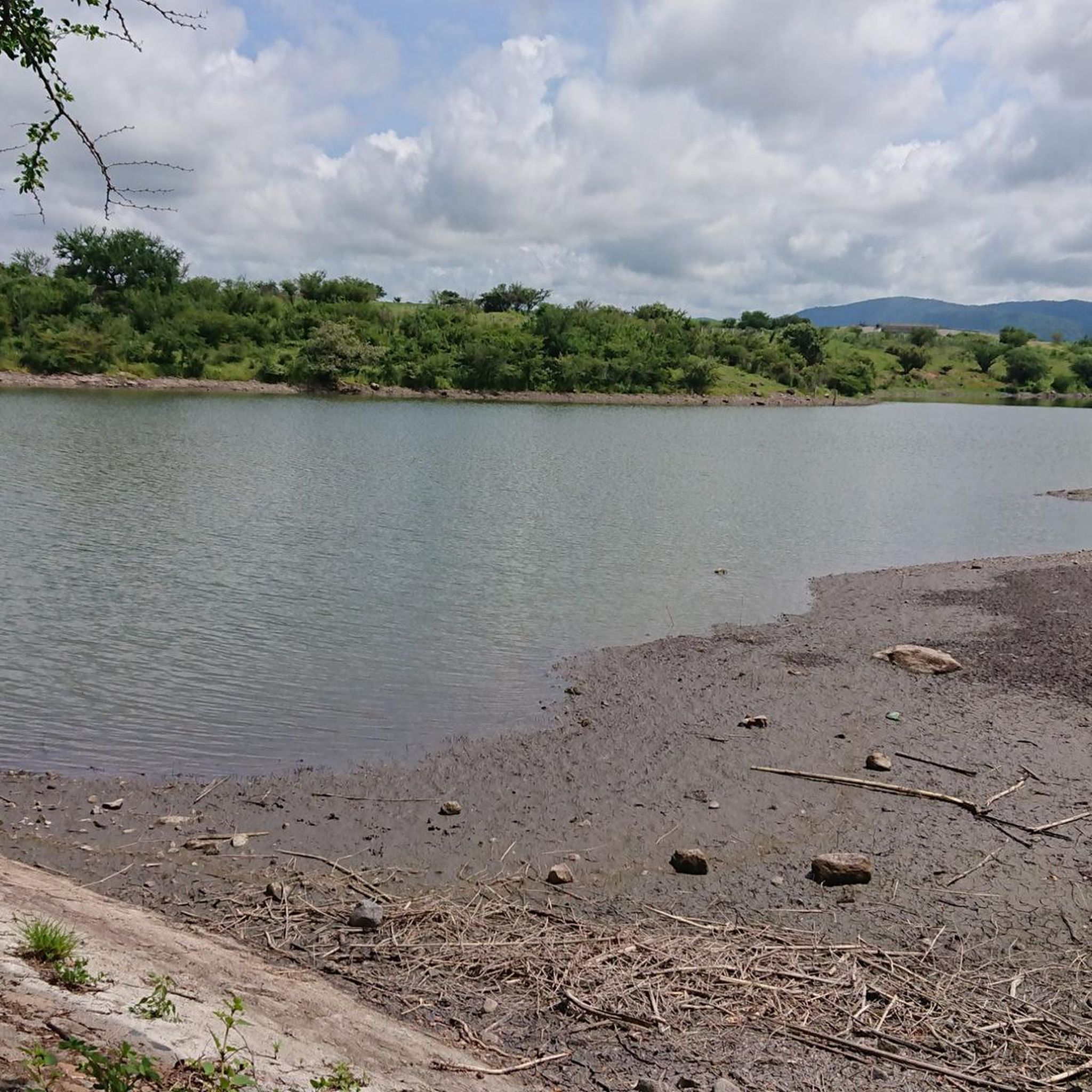
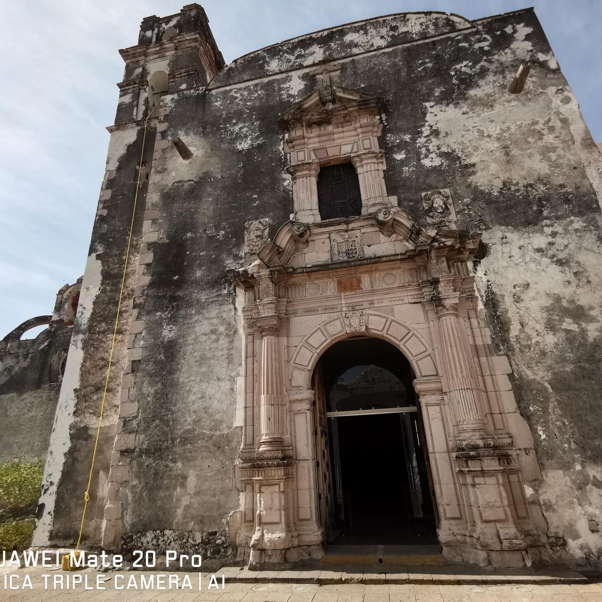
Tips from the Community

La Loma, a classic cycling spot where the climb from San Gregorio ends (if you're coming from Xochimilco), is also the crowning glory when coming from Tlayacapan (30 km, almost all uphill, 1,200 m total climb) or Juchitepec (8 km, 350 m total climb). You can enjoy the panoramic view with quesadillas, coffee, beer, pulque, etc. Weather permitting, you'll be able to see the volcanoes in the distance. Whether you're heading elsewhere, a stop here is definitely a must. Enjoy the view and have a safe trip to your destination!
2
0

Simple plaza in the old center of Cocoyoc.
0
0
Here, at the point where a state ends and begins, there's a place to eat before descending toward Tlayacapan or continuing uphill toward La Loma, where you can take a break and have some quesadillas on the side of the road before Felipe Neri. On this road with panoramic views of the volcanoes, you can enjoy the descent or ascent (depending on your direction) and the rural landscapes of the area. Fun fact: According to the sign, this is where Mexico City ends, and according to the maps, the State of Mexico.
2
0

a very panoramic view ideal for taking a short break, there are stalls where you can eat with the group.
0
0
Delicious coffee in Ixcatepec, using the route to either Amatlán or Yautepec. Opens at 8 a.m.
0
0

The La Loma viewpoint is well known by cyclists, especially road cyclists, since being one of the highest points it is an excellent meeting point. Also, here you can recharge your batteries with the variety of snacks they sell.
0
0

Also you can eat here and have a break!
1
0
A delicious coffee with excellent roasting and great flavor (they do), for coffee lovers who like good flavors and origin, for the taste of many such as cold brew, cappuccino, espresso, latte, smoothies, chocolate, tea and You will also find sweet and savory crepes, ciapattas and a variety of simple pastries. The attention is very good and friendly, if you ask them about places to visit in Tlayacapan and its surroundings they will give you good recommendations. Located right in front of the Hotel Posada Mexicana on the road that takes you to Oaxtepec.
2
0
Frequently Asked Questions
How many road cycling routes are available in Cuautla?
Based on komoot data, there are over 7 road cycling routes in Cuautla, offering a range of experiences from easy loops to challenging climbs.
What is the best time of year for road cycling in Cuautla?
Cuautla enjoys a warm and comfortable climate year-round. The best times for cycling are generally from early February to mid-May, peaking in late March, and from early May to mid-June. Even in January, temperatures are warm and rainfall is low, making it suitable for cycling.
What kind of difficulty levels can I expect on Cuautla's road cycling routes?
Cuautla offers a varied topography, providing options for all skill levels. You'll find easy routes like the Roadbike loop from Antigua Estación de Ferrocarril Isabel Jauregui, moderate paths such as the El Sancris Cafetería – Rock Formations of Tlayacapan loop, and difficult climbs, including the Rock Formations of Tlayacapan – La Loma Viewpoint loop, which features significant elevation gain.
Are there any dedicated cycling paths or 'ciclovías' in Cuautla?
Yes, Cuautla features dedicated cycling paths, known as 'ciclovías.' One notable route connects Cuautla to Yecapixtla and Atlatlahucan. Another ciclovía can be found in Ayala along Boulevard Emiliano Zapata, providing safe and designated spaces for cyclists.
What kind of landscapes will I see while road cycling in Cuautla?
Road cycling in Cuautla offers diverse and picturesque landscapes. You can expect to traverse historic haciendas, extensive cane fields, and serene wooded mountains. The region's proximity to the Iztaccihuatl-Popocatepetl National Park also provides routes with dramatic volcanic panoramas.
Are there any scenic viewpoints or natural attractions along the routes?
Many routes offer scenic views, particularly those near the Iztaccihuatl-Popocatepetl National Park, providing breathtaking views of the iconic volcanoes. The Rock Formations of Tlayacapan – La Loma Viewpoint loop specifically highlights rock formations and a viewpoint.
What do other road cyclists say about the routes in Cuautla?
The road cycling routes in Cuautla are highly rated by the komoot community, with an average score of 5.0 stars from over 4 reviews. Cyclists often praise the varied terrain and the beautiful views of the Morelos countryside.
Are there any family-friendly road cycling options in Cuautla?
Yes, Cuautla offers easier routes suitable for families. The Roadbike loop from Antigua Estación de Ferrocarril Isabel Jauregui is an easy 17.2-mile (27.7 km) trail that leads through local landscapes, offering a less demanding option for cyclists.
What is the typical elevation profile for road cycling in Cuautla?
Cuautla's elevation averages around 1,294 meters (4,245 feet) above sea level, with a regional range of 1,127 to 7,733 feet. This means you'll find a varied topography, from nearly flat stretches to routes with significant climbs and descents, such as the Rock Formations of Tlayacapan – La Loma Viewpoint loop which has over 1700 meters of elevation gain.
Are there any circular road cycling routes in Cuautla?
Yes, many of the road cycling routes in Cuautla are designed as loops. Examples include the El Sancris Cafetería – Rock Formations of Tlayacapan loop and the Roadbike loop from Antigua Estación de Ferrocarril Isabel Jauregui, allowing you to start and end at the same point.
What can I do to relax after a long ride in Cuautla?
After a long ride, you can relax and rejuvenate at one of the natural thermal springs in the region. Options include Agua Hedionda, Las Estacas Natural Park, Los Limones Thermal Waters, and El Almeal Thermal Waters, which offer swimming and other water activities.
Are there any routes that pass through archaeological zones or historic sites?
The broader state of Morelos, encompassing Cuautla, is known for routes that traverse archaeological zones and historic haciendas, offering a rich cultural experience alongside your ride. While specific routes are not detailed here, the region's network of rural and paved roads often connects these points of interest.
Most popular routes in Cuautla

Get inspired with the komoot mobile app


Explore more
Browse the best Road cycling routes in other regions.
