The best road cycling routes in Coacalco De Berriozábal
4.8
(30)
75
riders
5
rides
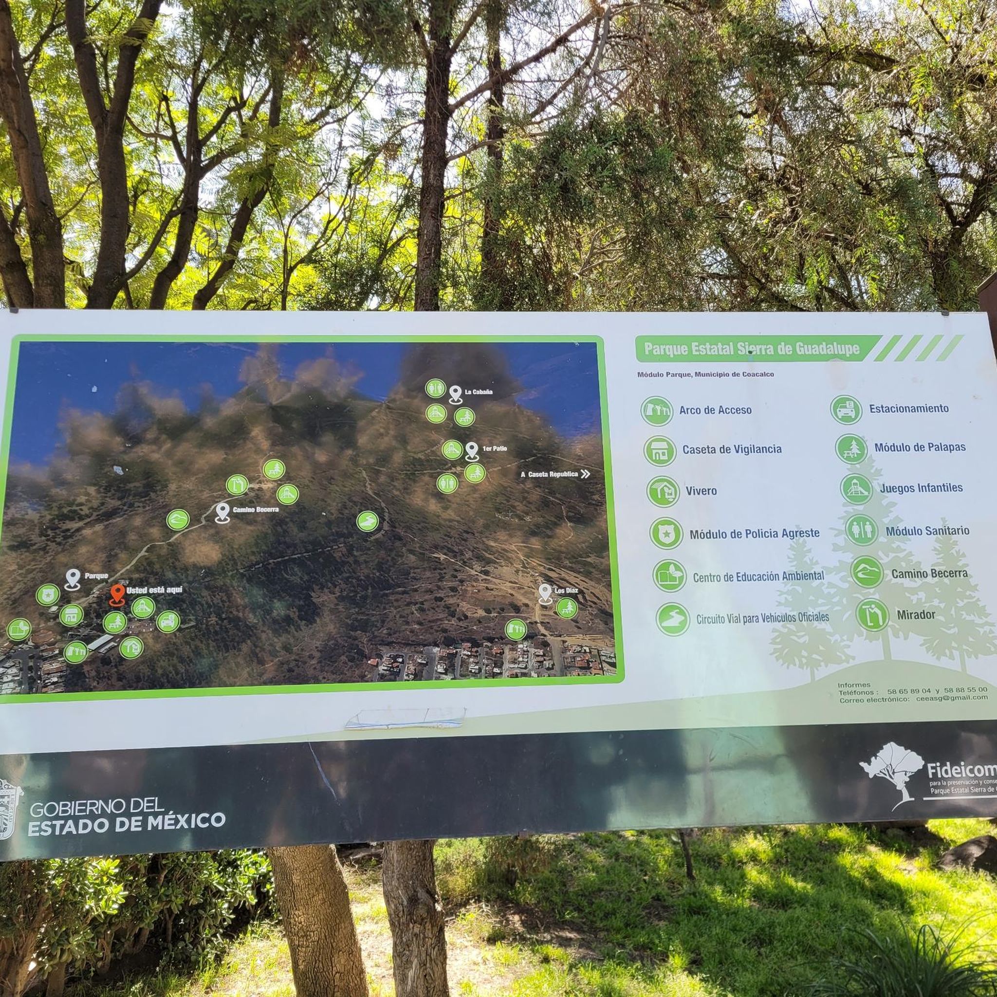
Road cycling in Coacalco De Berriozábal is primarily shaped by its proximity to the Sierra de Guadalupe, offering varied terrain for cyclists. This region features a mountainous landscape with significant elevation changes, providing routes for different fitness levels. Paved circuits within the Sierra de Guadalupe State Park offer dedicated environments for road cyclists. The area provides a natural, forested setting with opportunities for panoramic views from higher points.
Best road cycling routes in Coacalco De Berriozábal
- The most popular road…
Last updated: July 7, 2026
4.8
(19)
41
riders
69.8km
03:16
770m
770m
Moderate road ride. Good fitness required. Mostly well-paved surfaces and easy to ride.
5.0
(7)
13
riders
Easy road ride. Great for any fitness level. Mostly well-paved surfaces and easy to ride.

Sign up for free
4.3
(3)
12
riders
52.6km
02:18
410m
410m
Moderate road ride. Good fitness required. Mostly well-paved surfaces and easy to ride.
5
riders
94.3km
04:23
1,120m
1,120m
Hard road ride. Very good fitness required. Mostly well-paved surfaces and easy to ride.
5.0
(1)
4
riders
118km
05:54
1,490m
1,490m
Hard road ride. Very good fitness required. Mostly well-paved surfaces and easy to ride.
Our route recommendations are based on thousands of hikes, rides, and runs completed by other people on komoot.
Start today with a free account
Your next adventure awaits.
Login or Signup
Popular around Coacalco De Berriozábal
Tips from the Community

This is a spectacular bronze statue representing the Roman goddess of the hunt. It was unveiled in 1942.
0
0
This is one of the city's most iconic landmarks. The column and statue together reach almost 50 meters in height. It symbolizes the freedom of the Mexican people from Spanish rule.
0
0

Archaeological remains of a small pyramid, you have to walk a few meters to access it.
0
0

It's a good place for beginners
1
0

Every Sunday at the Reforma (8am-2pm)
1
0

Nice place to ride, specially in the mornings during the weekend where no cars are around. The earlier the better. If cycling during the week be careful with the traffic.
0
0

If you are on a bike, it's best to see it on a Sunday, when you can bike on Reforma. Every Sunday except the last of Sunday of the month, for more info in Spanish see the site below: https://www.semovi.cdmx.gob.mx/tramites-y-servicios/mi-bici/muevete-en-bici Alternatively, Reforma has bike paths (ciclo-pistas) on the by-street.
0
0
The Diana the huntress statue on Reforma is one of the main landmark statues on beautiful tree-lined Reforma avenue. If you are on a bike, it's best to see it on a Sunday, when you can bike on Reforma (every Sunday except the last of Sunday of the month): https://www.semovi.cdmx.gob.mx/tramites-y-servicios/mi-bici/muevete-en-bici
0
0
Frequently Asked Questions
What kind of terrain can I expect on road cycling routes in Coacalco De Berriozábal?
Road cycling in Coacalco De Berriozábal is largely defined by its proximity to the Sierra de Guadalupe. This mountainous range offers varied terrain with significant elevation changes, providing engaging climbs and descents. You'll find a mix of paved sections within a natural, forested setting, offering both challenging workouts and scenic views.
Are there road cycling routes suitable for beginners in Coacalco De Berriozábal?
Yes, there are routes suitable for beginners. For example, the Diana the Huntress Fountain – Reforma — Bicycle Dismount Zone loop from Clínica 76 is an easy 36.3 km path with minimal elevation changes, offering a less strenuous ride.
What are some of the longer or more challenging road cycling routes available?
For those seeking a challenge, routes like the Chile Verde – Cisneros loop from CETRAM Suburbano Cuautitlán cover 94.6 km with over 1100 meters of elevation gain. Another demanding option is the Chile Verde – Oasis Café loop from CETRAM Suburbano Cuautitlán, which spans 118.4 km and features nearly 1500 meters of climbing.
Are there any circular road cycling routes in the area?
Many of the road cycling routes in Coacalco De Berriozábal are designed as loops, allowing you to start and finish at the same point. Examples include the Chile Verde – Oasis Café loop from Cuautitlán and the Chile Verde – Oasis Café loop from CETRAM Suburbano Cuautitlán.
What do other road cyclists say about the routes in Coacalco De Berriozábal?
The road cycling routes in Coacalco De Berriozábal are highly rated by the komoot community, with an average score of 4.8 stars from over 20 reviews. Cyclists often praise the varied terrain, the challenging climbs, and the scenic beauty offered by the Sierra de Guadalupe.
Are there any natural features or landmarks to look out for while cycling?
The primary natural feature is the Sierra de Guadalupe itself, offering panoramic views and a mountainous environment. While cycling, you might encounter landmarks such as the Fuente de la Diana Cazadora, which is part of one of the routes, or the historic Acueducto Arcos del Sitio, which is a notable attraction in the broader region.
How long do road cycling routes typically take to complete?
Route durations vary significantly based on distance and elevation. Easy routes, like the 36.3 km Diana the Huntress Fountain – Reforma — Bicycle Dismount Zone loop from Clínica 76, can take under 2 hours. More challenging routes, such as the 69.8 km Chile Verde – Oasis Café loop from Cuautitlán, typically require around 3 hours and 16 minutes, while the longest routes can take 5 hours or more.
Are there options for public transportation to access the cycling routes?
Yes, some routes are designed with public transport access in mind. For instance, several routes, including the Chile Verde – Oasis Café loop from CETRAM Suburbano Cuautitlán, start from CETRAM Suburbano Cuautitlán, making them accessible via public transport.
Can I find places to stop for refreshments along the routes?
Some routes pass by known refreshment spots. The 'Oasis Café' is even mentioned in the names of several popular routes, such as the Chile Verde – Oasis Café loop from Cuautitlán, indicating opportunities for a break and a drink.
What is the best time of year for road cycling in Coacalco De Berriozábal?
While specific seasonal data isn't provided, the region's mountainous environment suggests that spring and autumn generally offer pleasant temperatures for cycling. It's always advisable to check local weather forecasts before heading out, especially considering the elevation changes in the Sierra de Guadalupe.
Are there any family-friendly road cycling options?
For families or those looking for a more relaxed ride, easy routes with minimal elevation changes are available. The Diana the Huntress Fountain – Reforma — Bicycle Dismount Zone loop from Clínica 76 is a good example of an easy route that could be suitable for a family outing, offering a less strenuous experience.
Most popular routes in Coacalco De Berriozábal

Get inspired with the komoot mobile app


Explore more
Browse the best Road cycling routes in other regions.
