The best walks and hikes in Milpa Alta
4.9
(14)
244
hikers
8
hikes
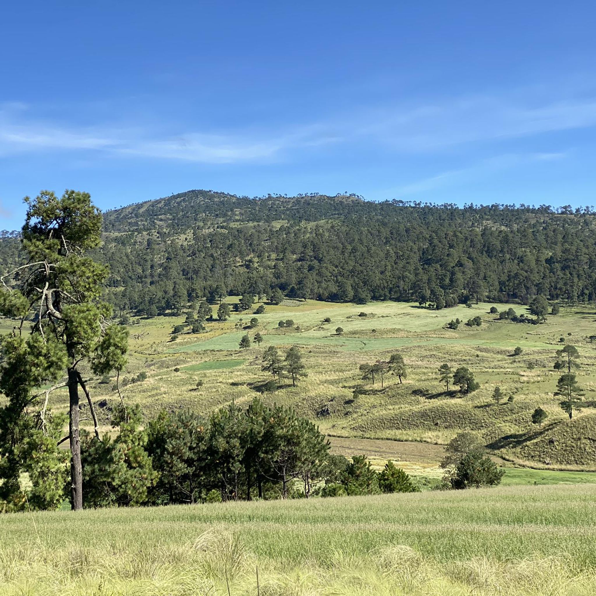
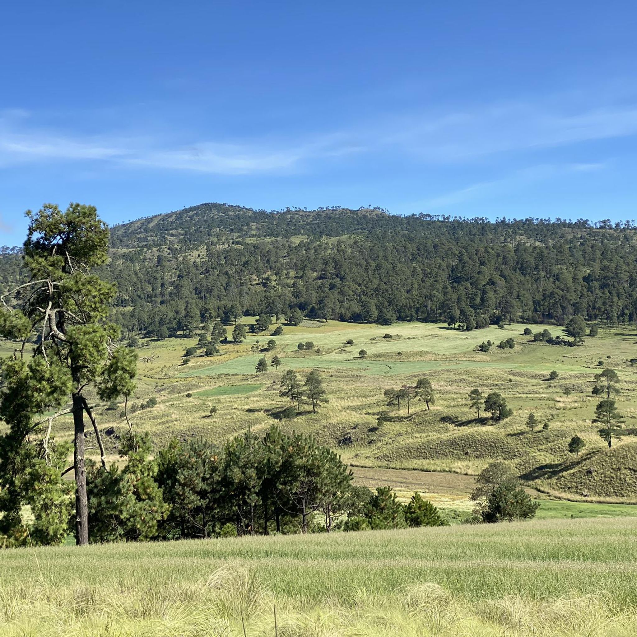
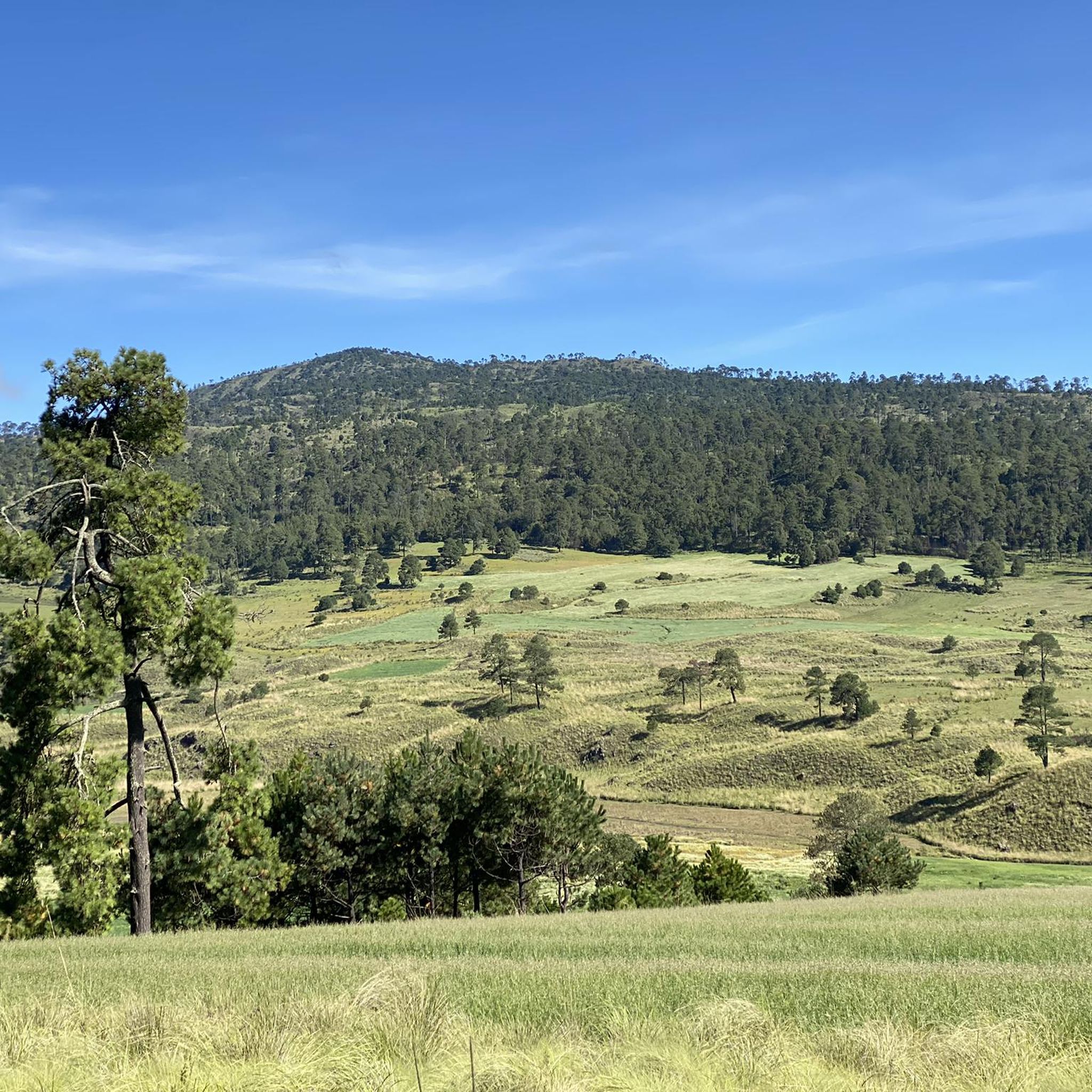
Hiking in Milpa Alta, a rural borough of Mexico City, offers diverse trails across a rugged volcanic landscape. The region is characterized by prominent volcanic peaks such as Teuhtli and Volcán Chichinautzin, and extensive conservation zones. These areas feature lush forests and provide panoramic views, including distant glimpses of Iztaccíhuatl and Popocatépetl. The terrain is primarily composed of volcanic formations from the Cenozoic Era.
Best hiking trails in Milpa Alta
- The most popular hiking route is Tepozteco Pyramid – Cruz…
Last updated: July 1, 2026
5.0
(1)
2
hikers
5.88km
02:20
380m
370m
Moderate hike. Good fitness required. Mostly accessible paths. Sure-footedness required.
3
hikers
15.4km
05:02
660m
660m
Hard hike. Very good fitness required. Mostly accessible paths. Sure-footedness required.

Sign up for free
5.0
(1)
12
hikers
3.06km
00:50
50m
50m
Easy hike. Great for any fitness level. Easily-accessible paths. Suitable for all skill levels.
14
hikers
5.18km
01:38
190m
190m
Easy hike. Great for any fitness level. Easily-accessible paths. Suitable for all skill levels.
2
hikers
6.34km
01:56
200m
200m
Easy hike. Great for any fitness level. Easily-accessible paths. Suitable for all skill levels.
Get access to more routes and recommendations from other explorers.
Sign up for free
Already have an account?
Our route recommendations are based on thousands of hikes, rides, and runs completed by other people on komoot.
Start today with a free account
Your next adventure awaits.
Login or Signup
Popular around Milpa Alta
Tips from the Community

10 liters for 10 pesos. Includes bottle washing.
0
0
Purified water at a low price. And more for the 🥳 party
0
0

The landscape is breathtaking
0
0
Hard climb is rewarded with a sensational view
0
0
Beautiful murals can be found all over the city
0
0
great photo motif that has a great charm especially because of the old and unrestored facade
1
0
Frequently Asked Questions
What kind of terrain can I expect when hiking in Milpa Alta?
Milpa Alta is characterized by a rugged volcanic landscape, featuring prominent peaks like Teuhtli and Volcán Chichinautzin. You'll find extensive conservation zones with lush forests, offering a refreshing escape from urban life. The terrain is primarily composed of volcanic formations, providing diverse and often challenging hiking opportunities.
Are there easy hiking trails suitable for beginners in Milpa Alta?
Yes, Milpa Alta offers several easy trails perfect for beginners or those looking for a relaxed walk. For instance, the Cruz de Axitla loop from Tepoztlán is an easy option. Another great choice is the Cerro Xochitepec – View of Mexico City loop from Santa Cruz Xochitepec, which provides scenic views of the city.
Can I find trails with panoramic views in Milpa Alta?
Absolutely. Many routes in Milpa Alta offer impressive panoramic views. From certain locations, you can even catch distant glimpses of the majestic Iztaccíhuatl and Popocatépetl volcanoes. The Cerro Xochitepec – View of Mexico City loop is specifically known for its views of Mexico City itself.
Are there any circular hiking routes in Milpa Alta?
Yes, many of the trails in Milpa Alta are designed as loops, allowing you to start and end at the same point. Examples include the Tepozteco Pyramid – Cruz de Axitla loop and the Murals of Tepoztlán – Tepozteco Pyramid loop, both offering varied experiences.
What are some interesting natural features or attractions to see along the trails?
Milpa Alta's trails often lead through its protected forests and volcanic landscapes. You might encounter unique geological formations and diverse flora. For specific points of interest, consider visiting the San Lorenzo Viewpoint for expansive vistas, or the Ojo de Agua Tulmiac, a natural monument.
What do other hikers say about the trails in Milpa Alta?
The trails in Milpa Alta are highly rated by the komoot community, with an average score of 4.9 stars. Hikers often praise the region's natural beauty, the variety of terrain, and the opportunity to escape the city into a tranquil, forested environment. Many appreciate the well-maintained paths and the rewarding views.
Is it possible to reach hiking trailheads in Milpa Alta using public transport?
Milpa Alta is a rural borough of Mexico City, and while some areas are accessible by public transport, reaching specific trailheads might require a combination of bus routes and potentially a short taxi ride. It's advisable to research specific routes and their starting points for the most accurate public transport information.
Are there any family-friendly hiking options in Milpa Alta?
Yes, Milpa Alta offers several easy trails that are suitable for families. Routes like the Cruz de Axitla loop from Tepoztlán are generally shorter and less strenuous, making them good choices for outings with children. Always check the specific trail's difficulty and length to ensure it matches your family's capabilities.
What is the best time of year to go hiking in Milpa Alta?
Milpa Alta generally offers good hiking conditions throughout the year, but the dry season (roughly November to May) might be preferable for clearer skies and less muddy trails. During the rainy season (June to October), the landscape is lush and green, but afternoon showers are common, so be prepared for wet conditions.
Are there any longer, more challenging hikes for experienced hikers?
Yes, for experienced hikers seeking a challenge, Milpa Alta has more strenuous options. The Tepozteco Pyramid – Murals of Tepoztlán loop from San Juan Tlacotenco is a difficult 9.5-mile (15.4 km) path that offers a demanding excursion through the region's natural and cultural landscapes, including significant elevation changes.
What makes Milpa Alta unique as a hiking destination?
Milpa Alta stands out due to its unique combination of rugged volcanic terrain, extensive conservation zones, and a strong traditional rural character within Mexico City. It's an important area for aquifer recharge, covered in vast forests, and offers a deep connection with nature away from the urban bustle. Its agricultural economy, particularly nopal cactus production, also adds to its distinct charm.
Most popular attractions in Milpa Alta

Get inspired with the komoot mobile app


Explore more
Browse the best Hikes in other regions.
