The best road cycling routes in Tijuana
4.4
(73)
863
riders
16
rides
Road cycling in Tijuana offers a diverse blend of urban and natural environments, serving as a gateway to extensive routes across the Baja California peninsula. The region is characterized by hills, canyons, and coastal areas, providing varied terrain for cyclists. While the city itself features urban green spaces like Parque Morelos, the surrounding area extends to the Pacific Ocean at Playas de Tijuana and includes prominent hills such as Cerro Colorado. This geographical setting provides a range of road cycling…
Last updated: July 11, 2026
4.0
(1)
46
riders
Moderate road ride. Good fitness required. Some segments of this route may be unpaved and difficult to ride.
4.0
(2)
44
riders
Easy road ride. Great for any fitness level. Mostly well-paved surfaces and easy to ride.

Sign up for free
4.0
(1)
57
riders
101km
04:18
460m
460m
Moderate road ride. Good fitness required. Mostly well-paved surfaces and easy to ride.
4.0
(2)
128
riders
Easy road ride. Great for any fitness level. Mostly well-paved surfaces and easy to ride.
21
riders
43.1km
02:14
590m
590m
Moderate road ride. Good fitness required. Mostly well-paved surfaces and easy to ride.
5.0
(2)
16
riders
17.9km
00:45
40m
40m
Easy road ride. Great for any fitness level. Mostly well-paved surfaces and easy to ride.
3
riders
26.2km
01:12
300m
300m
Easy road ride. Great for any fitness level. Mostly well-paved surfaces and easy to ride.
6
riders
131km
06:13
1,760m
1,760m
Hard road ride. Very good fitness required. Mostly well-paved surfaces and easy to ride.
7
riders
33.6km
01:41
220m
220m
Easy road ride. Great for any fitness level. Mostly well-paved surfaces and easy to ride.
6
riders
44.3km
01:48
130m
130m
Easy road ride. Great for any fitness level. Mostly well-paved surfaces and easy to ride.
Get access to more routes and recommendations from other explorers.
Sign up for free
Already have an account?
Our route recommendations are based on thousands of hikes, rides, and runs completed by other people on komoot.
Start today with a free account
Your next adventure awaits.
Login or Signup

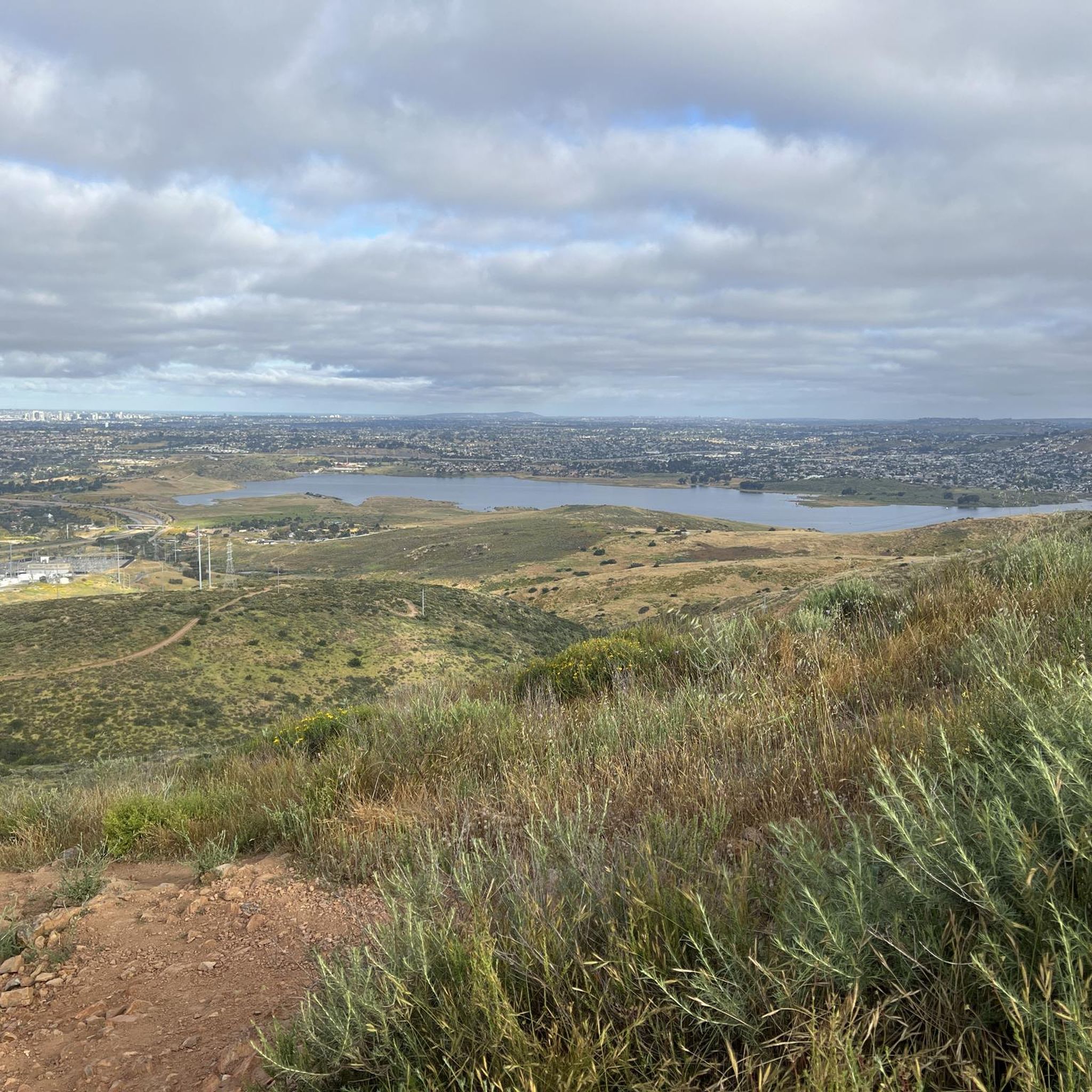
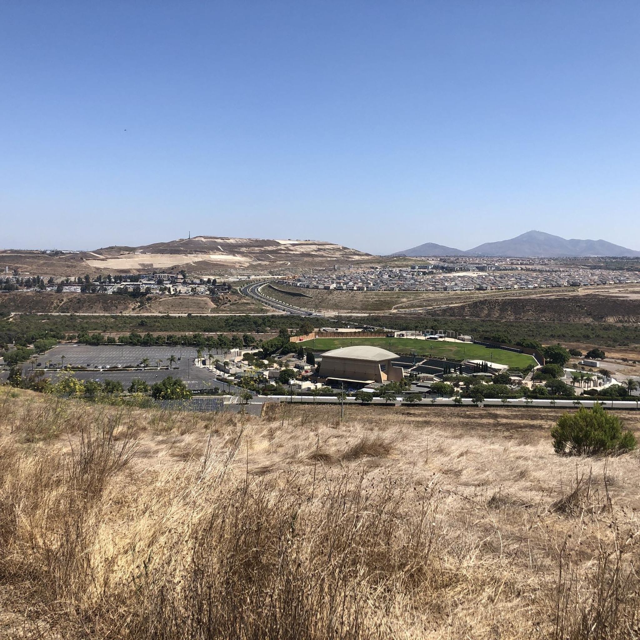
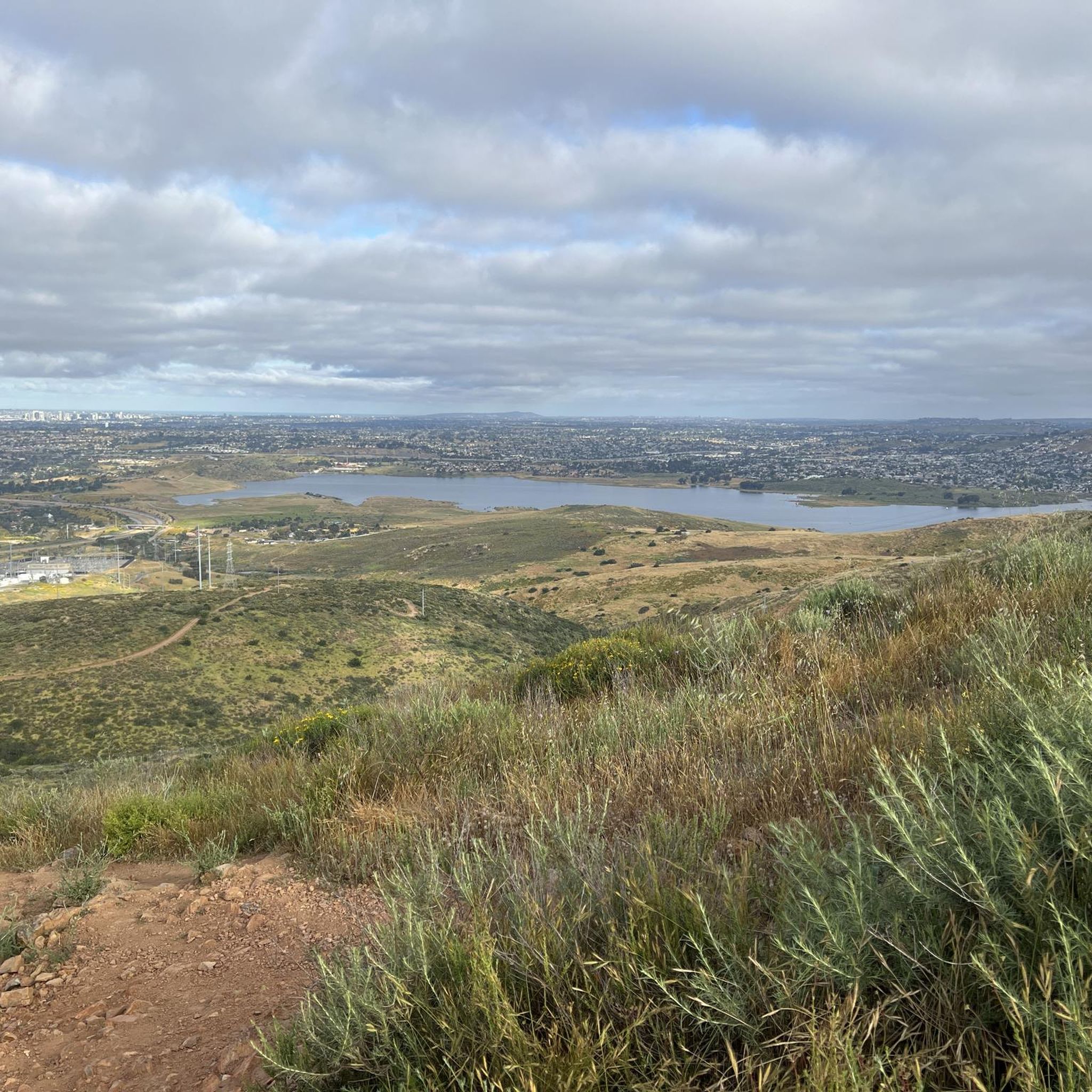
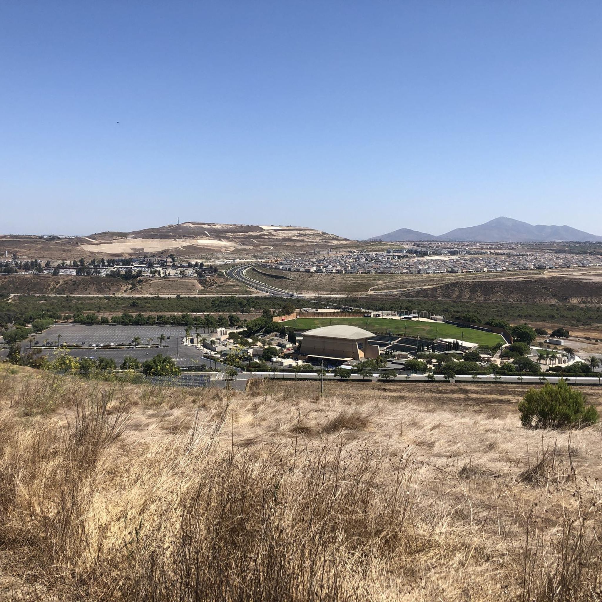
Other adventures in Tijuana

Tips from the Community

It is a large and open leisure area, with well-maintained pedestrian zones and green spaces where you can stroll calmly or go out to play sports.
0
1


Bring sunblock, bottle of water, and comfy shoes if you’re walking during the day.
0
0

The Sweetwater River is a small year-round stream that flows 55 miles from the Cuyamaca Mountains to the San Diego Bay.
1
0

The view from this section of the bikeway is stunning. The vibrant green and blue colors of the water and skyline are breathtaking and worthy of a stop to take some incredible photos.
1
0
The Rose Canyon Bike Route, a segment of the Coastal Rail Trail, is less than a mile long and is an ideal connection between Mission Bay and Torrey Pines, traveling along the creek past commercial and residential areas. It is a fantastic, protected pathway situated between I-5 and the rail tracks, perfect for an enjoyable ride in either direction.
0
0

All told, Mission Bay's convoluted shoreline rambles along for about 27 miles. You can trace almost half that length, plus part of the San Diego River, on 12 miles of easy bike paths.
0
0

The view from the pier, whether from the old sailing ship or the aircraft carrier, is a dream. You can also get straight into the historic old town from this side.
1
0
Frequently Asked Questions
What kind of terrain can I expect on road cycling routes in Tijuana?
Tijuana's road cycling routes offer a varied landscape, from urban areas to coastal paths and elevated hills. You'll find routes that traverse canyons and gullies, with options extending towards the Pacific Ocean at Playas de Tijuana and through prominent hills like Cerro Colorado. The broader Baja California region provides coastal scenery, desert stretches, and mountain climbs for more extensive rides.
Are there road cycling routes suitable for beginners in Tijuana?
Yes, Tijuana offers routes for various ability levels. You can find easy routes, such as the Roadbike loop from East Palomar, which covers 16.3 miles (26.2 km) with moderate elevation gain, or the Recreation area loop from Estacion Tijuana, a 20.9 miles (33.6 km) ride. These provide a good starting point for less experienced cyclists.
What are some challenging road cycling routes in the Tijuana area?
For experienced cyclists seeking a challenge, Tijuana offers several difficult routes. The Otay Reservoir Dam – "Secret" Waterfall loop from Otay Ranch Town Center is a demanding 48.2 miles (77.5 km) trail with over 3,300 feet (1000 m) of elevation gain. Another difficult option is the Alto Climb loop from Otay Ranch Town Center, covering 36.5 miles (58.7 km) with significant climbs.
Can I find loop routes for road cycling in Tijuana?
Many of the road cycling routes in Tijuana are designed as loops, allowing you to start and end at the same point. Examples include the Otay Reservoir Dam – Lower Otay Reservoir loop from Otay Ranch Town Center and the Sweetwater Bikeway – Sweetwater River loop from Palomar Street, offering circular journeys through scenic areas.
What kind of attractions can I see along road cycling routes in Tijuana?
While cycling, you can explore various points of interest. Some routes pass near natural features like the Tijuana River Estuary, known for its diverse birdlife. Within the city, you might encounter urban green spaces like Parque Morelos. For specific landmarks, consider highlights such as Burnt Trail or La Banquita, which offer unique views or experiences.
What is the best time of year for road cycling in Tijuana?
Tijuana generally offers pleasant cycling weather for much of the year. The region has a mild climate, making it suitable for outdoor activities. While specific weather patterns vary, avoiding the hottest summer months might be preferable for longer rides, and the cooler, drier seasons often provide ideal conditions.
Are there family-friendly road cycling routes in Tijuana?
While Tijuana's urban areas can have varying road quality, some routes are more suitable for families. Look for routes that are rated as 'easy' difficulty, such as the Roadbike loop from East Palomar, which offers a manageable distance and elevation. When cycling with family, prioritize routes with less traffic or dedicated paths where available.
What do other road cyclists say about their experience in Tijuana?
The road cycling routes in Tijuana are highly regarded by the komoot community, with an average rating of 4.4 out of 5 stars from over 10 reviews. Cyclists often praise the diverse terrain, from coastal views to challenging climbs around reservoirs, and the opportunities to explore both urban and natural environments.
Is it possible to cycle on Highway 1D from Tijuana towards Ensenada?
Highway 1D, the scenic toll road connecting Tijuana to Ensenada, is known for its smooth surface and wide shoulders, making it attractive for cycling. However, bicycles are technically not allowed on this road. While some cyclists do use it, police occasionally escort them off, though fines are reportedly rare. Cyclists should be aware of this regulation.
Are there any specific considerations for parking when road cycling in Tijuana?
When planning your road cycling trip, consider starting points that offer convenient parking. Many routes, especially those originating from areas like Otay Ranch Town Center or Palomar Street, are chosen for their accessibility. For routes within the city, public parking options near parks or commercial areas might be available, but it's always advisable to check local regulations.
How many road cycling routes are available in the Tijuana region?
The Tijuana region offers a wide selection of road cycling routes, with 14 distinct tours available on komoot. These routes cater to various skill levels, including 4 easy, 6 moderate, and 4 difficult options, ensuring there's a ride for every preference.
Are there any routes that feature a 'secret' waterfall in the Tijuana area?
Yes, one notable route is the Otay Reservoir Dam – "Secret" Waterfall loop from Otay Ranch Town Center. This challenging 48.2 miles (77.5 km) trail leads through the reservoir's demanding terrain and includes a feature often referred to as a 'secret' waterfall, offering a unique natural highlight for cyclists.
Most popular attractions in Tijuana

Get inspired with the komoot mobile app


