The 20 Most Amazing Peaks around Nabburg
Best mountain peaks around Nabburg are located in the Schwandorf district of Bavaria, Germany. This region features rolling hills and the Naab River, providing several elevated points for outdoor activities. These areas offer scenic views and diverse hiking opportunities. Nabburg's terrain includes natural summits, elevated areas with historical sites, and viewpoints.
Best mountain peaks around Nabburg
- The most popular mountain peaks is Kulm Observation Tower, a viewpoint that features an observation tower at its highest point. From the tower,…
Last updated: October 4, 2026
Kulm Observation Tower
Highlight • Viewpoint
Translated by Google •
Tip by

Amberg Transmitter (Rotbühl)
Highlight • Monument
Translated by Google •
Tip by

Sign up now to discover places like this
Get recommendations on the best single tracks, peaks, & plenty of other exciting outdoor places.
St. Barbara Pilgrimage Church on Eixlberg
Highlight • Religious Site
Translated by Google •
Tip by
Buchberggipfel 667m
Highlight • Summit
Translated by Google •
Tip by

Rotbühl Summit (673 m)
Highlight • Summit
Translated by Google •
Tip by

Sign up for free to discover even more peaks around Nabburg.
Already have an account?
Start today with a free account
Your next adventure awaits.
Popular around Nabburg
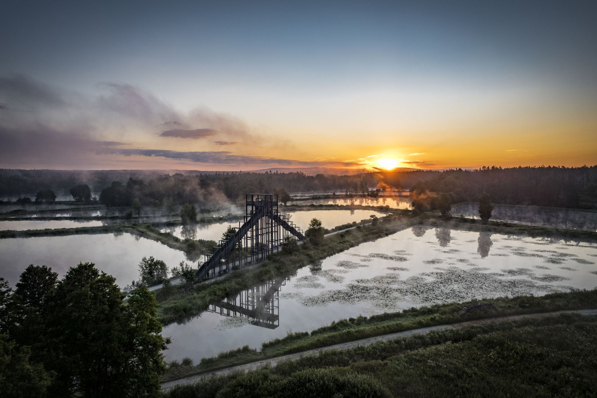
How refreshing! Trails by the water in the Upper Palatinate Forest
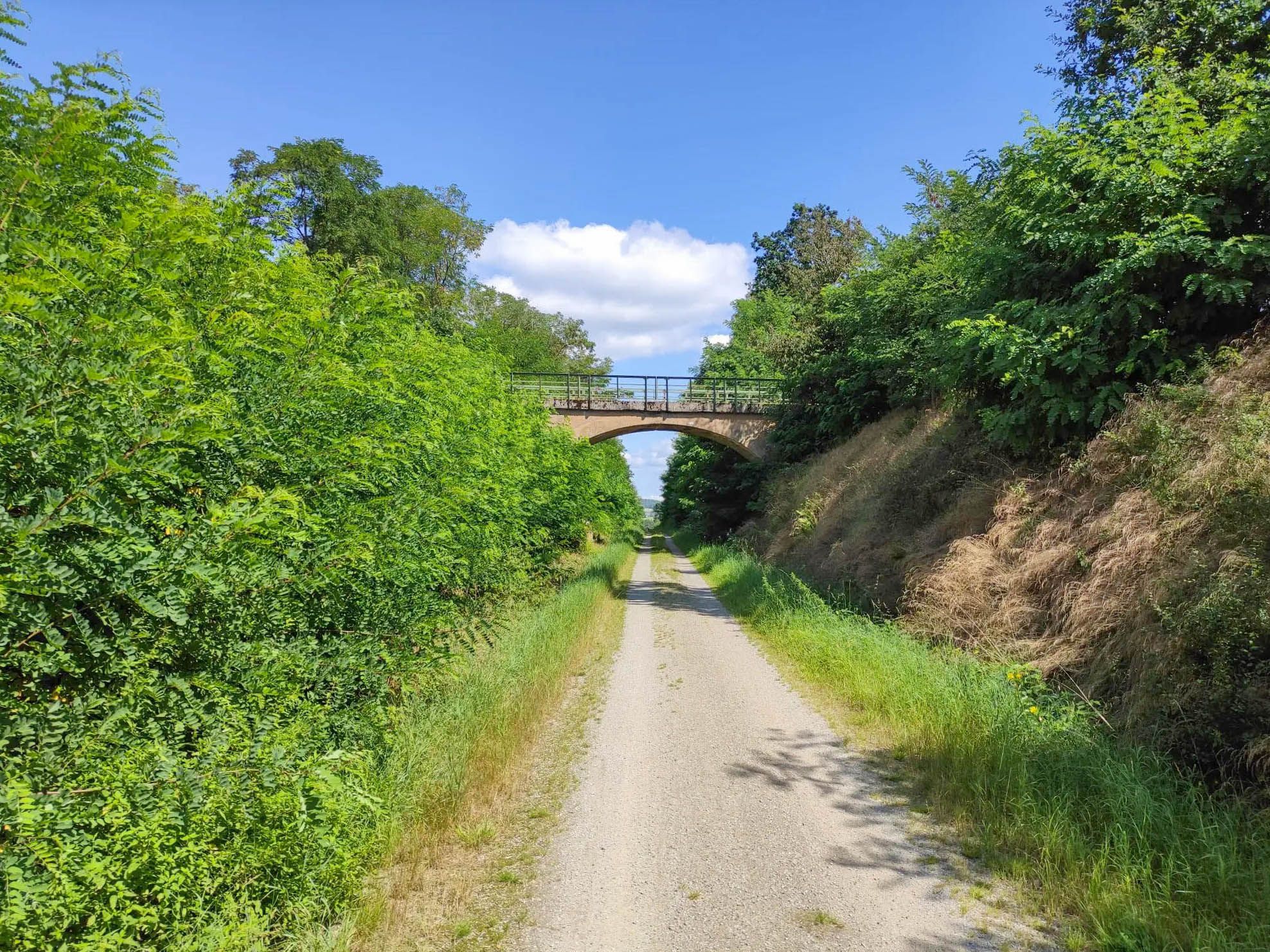
Cycling on the Bavarian-Bohemian Friendship Trail
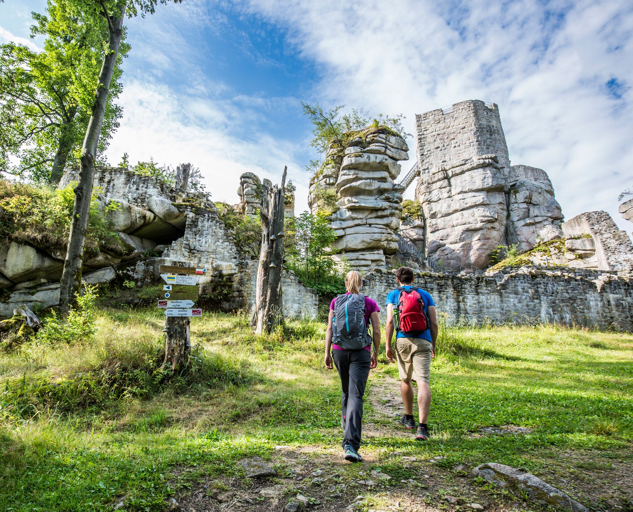
Arrive by bus & train — car-free hiking in the Upper Palatinate Forest
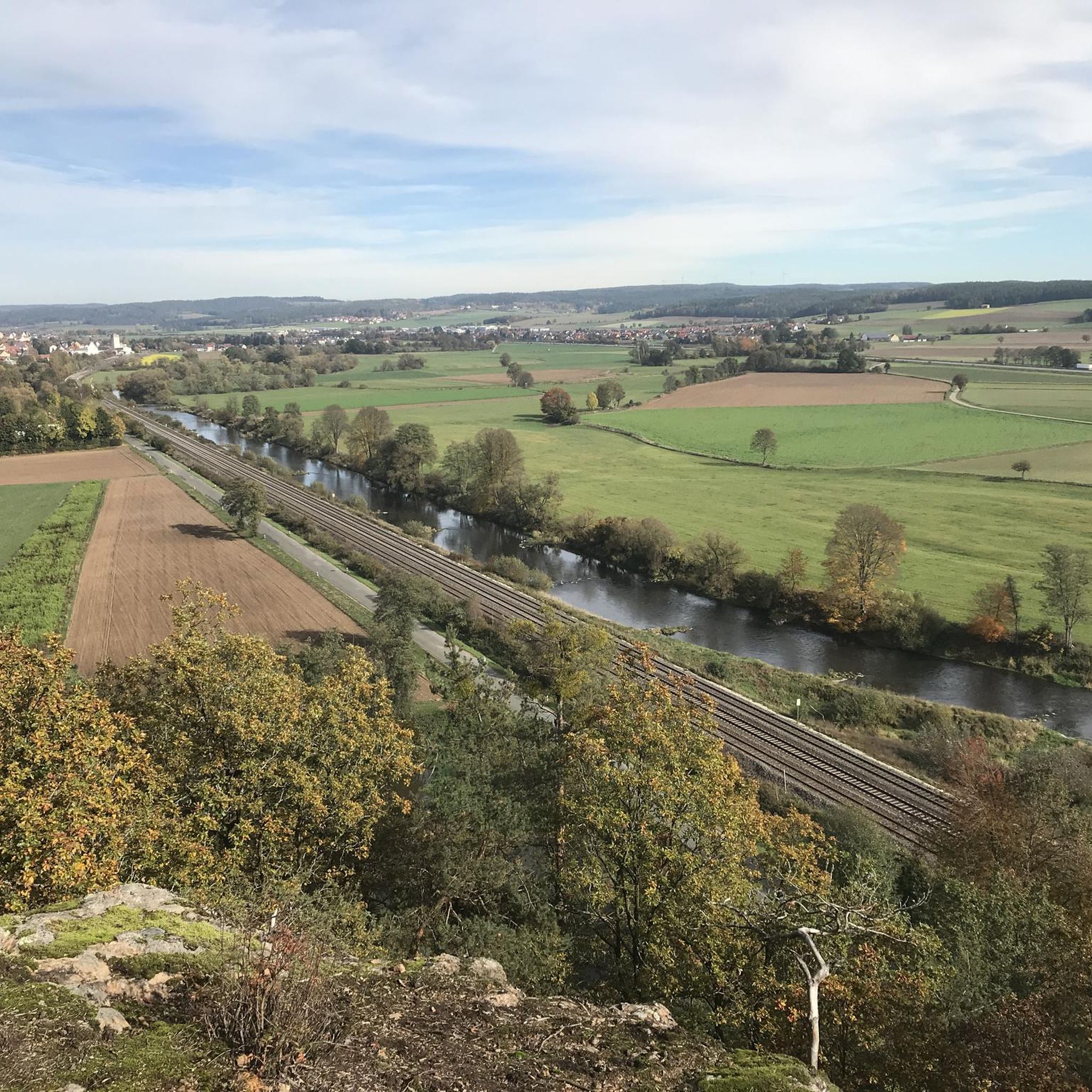
Cycling around Nabburg
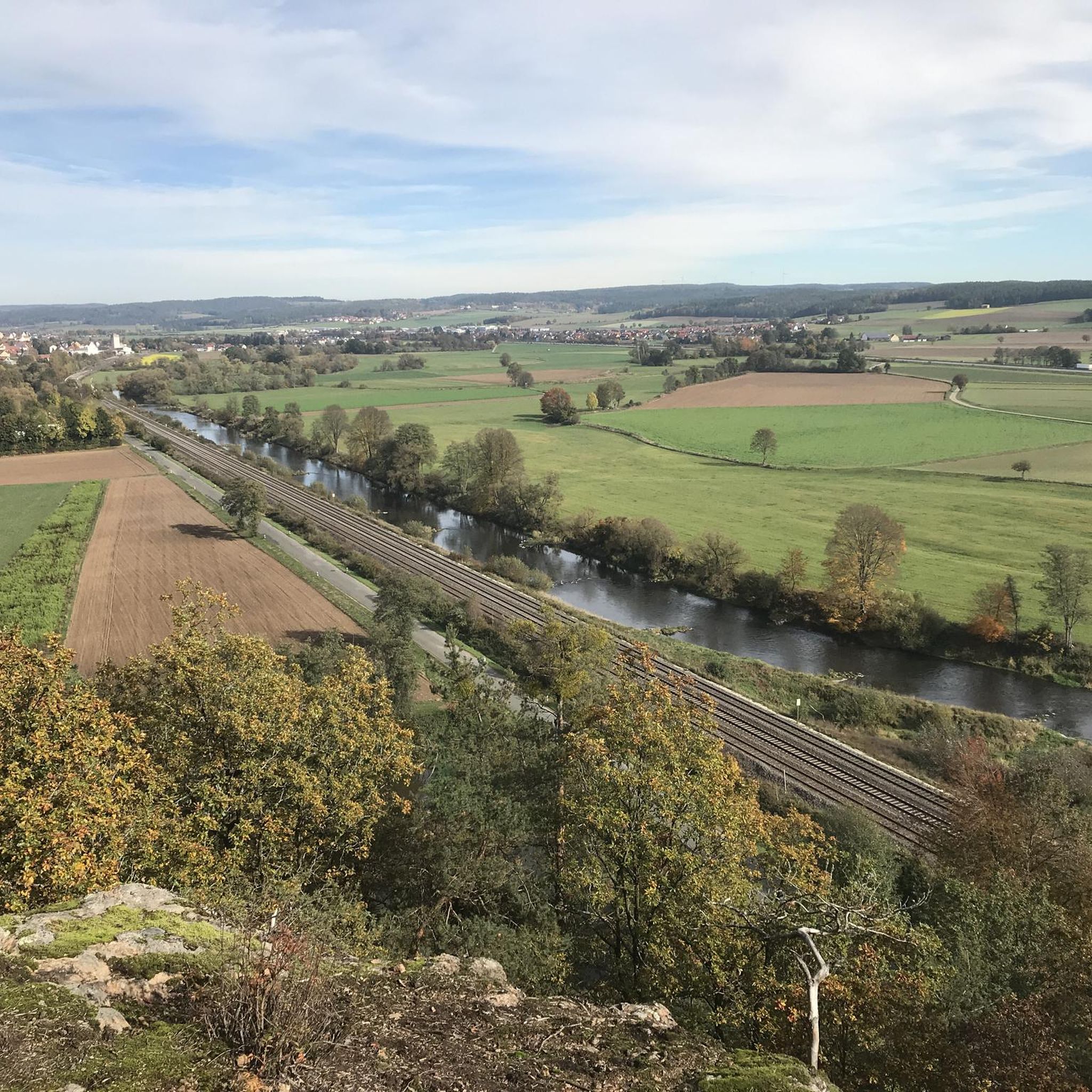
Hiking around Nabburg
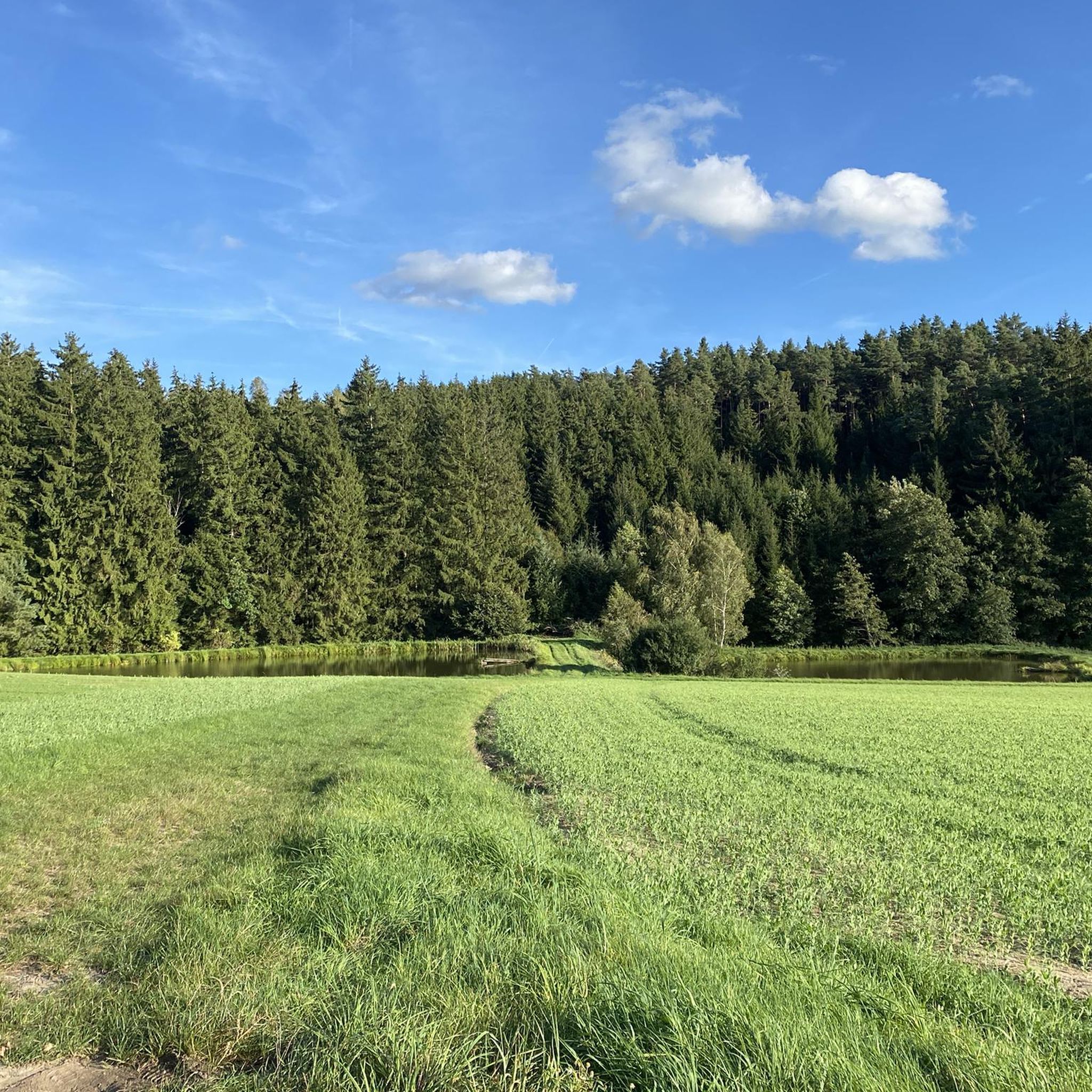
MTB Trails around Nabburg
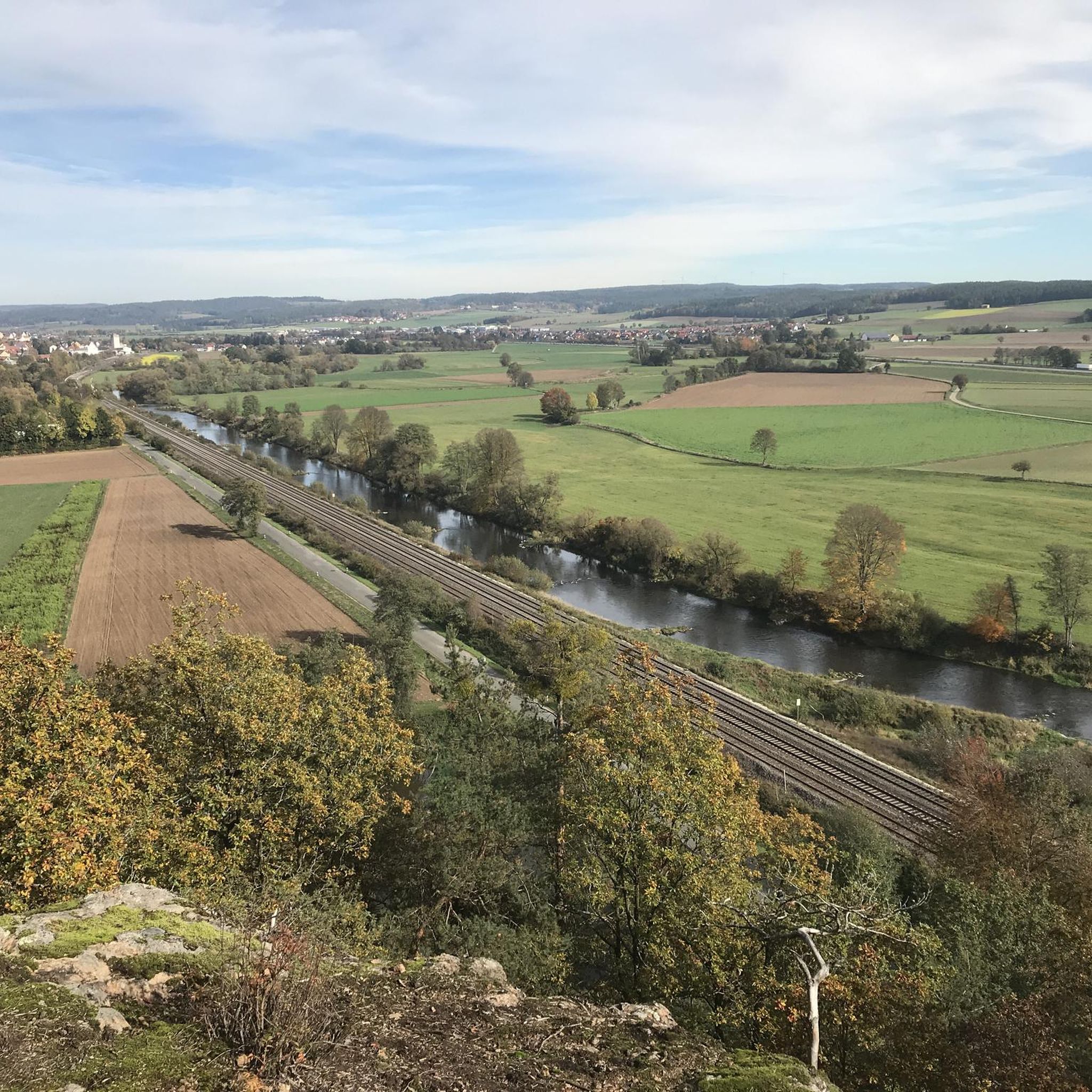
Road Cycling Routes around Nabburg
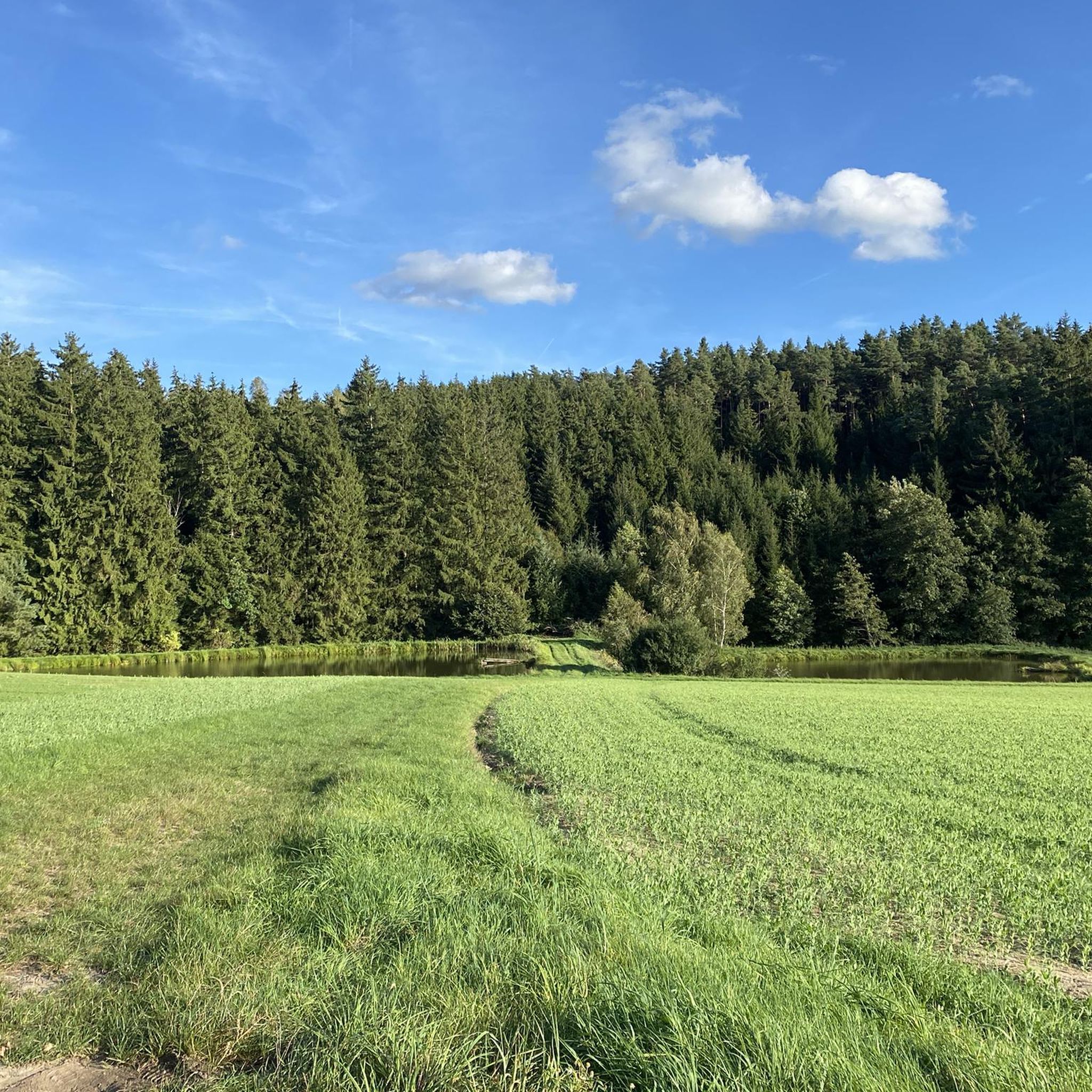
Running Trails around Nabburg

Gravel biking around Nabburg
Other adventures around Nabburg


Tips from the Community


The little brother of the Rotbühl is a wonderful hiking destination at 667m. A beautiful summit cross and some benches round off the summit visit.
4
0
The summit of the Rotbühl is decorated with a small cross and a nice bench to relax. At 673m, it is the highest point in the Amberg Sulzbach district. The Buchberghütte nearby and the cross-country skiing center also make it interesting for hikers and mountain bikers.
2
0

Small summit cross with a bench for a rest
2
0

The Rotbühl is 673 m above sea level. NHN the highest elevation in the Amberg-Sulzbach district. There is also a wooden summit cross at the wooded "summit".
2
0

Opposite the summit cross there is a bench with a loving invitation to rest
3
0
Always a nice challenge to cycle to the transmitter..
3
0

With a stop at the buchberghütte
2
0
Frequently Asked Questions
What are some prominent elevated areas around Nabburg known for their views?
Nabburg offers several elevated points that provide excellent views of the surrounding landscape. Key areas include the Kulm, featuring an observation tower with panoramic views of the Eixlberg and Naab valley (Kulm Observation Tower). The Eixlberg, home to the St. Barbara Pilgrimage Church, also offers scenic vistas. Additionally, the Naabbruch rocky ridge provides breathtaking views of the Naab valley, and the Buchberg Summit is known for its expansive outlooks.
Are there any historical or cultural sites among the elevated areas near Nabburg?
Yes, the Eixlberg is a significant cultural site, home to the St. Barbara Pilgrimage Church. This elevated area is a popular hiking destination and offers a place for contemplation. The church becomes visible above the treetops as you approach, adding to its historical and spiritual appeal.
What kind of hiking opportunities do the Nabburg peaks offer?
The elevated areas around Nabburg are primarily recognized for their diverse hiking opportunities. You can find routes ranging from moderate to challenging. For example, a loop hike around Kulm, including the OWV Hut at Kulm Summit, typically takes around two hours. The Nabburg–Eixlberg Trail is a moderate route covering about 9.4 km, and a loop hike from Wölsenberg to Darlesberg is approximately 8 km long. Many trails wind through dense forests and alongside idyllic streams, offering varied terrain. You can find more hiking routes on the Hiking around Nabburg guide.
Are the mountain peaks around Nabburg suitable for families?
Yes, several elevated areas around Nabburg are considered family-friendly. The Kulm Observation Tower and the St. Barbara Pilgrimage Church on Eixlberg are both popular destinations for families. The trails leading to these points are generally accessible, offering enjoyable outings for all ages. The Amberg Transmitter (Rotbühl) area also features family-friendly trails.
What is the best time of year to hike the peaks around Nabburg?
The best seasons for hiking in the Nabburg region are spring and autumn. During these times, the weather is mild, and the landscape is particularly vibrant with colors, making for a more pleasant and scenic experience.
Are there options for refreshments or breaks near the hiking trails?
Yes, hikers will find convenient spots for refreshments. Near the Kulm Observation Tower, the Gasthaus zum Kulm offers a stop for refreshments and is also where you can obtain the key for the tower. On the Eixlberg, the Emmausklause, located in the former sacristan's house, is managed by the OWV Pfreimd and is an ideal place for a break with a hearty snack and local beer.
What other outdoor activities can I do near Nabburg's elevated areas?
Beyond hiking, the Nabburg area offers excellent opportunities for cycling and gravel biking. You can explore various routes, such as the 'View of Nabburg – View of the Naab loop' for cycling or the 'Naab footbridge in Nabburg – View of Nabburg loop' for gravel biking. For more details, check out the Cycling around Nabburg guide and the Gravel biking around Nabburg guide.
Can you tell me more about the Buchberg Summit?
The Buchberg Summit stands at 667 meters above sea level, making it the second highest elevation in the Bavarian district of Amberg-Sulzbach. On its summit plateau, you'll find a stone altar and a summit book, which was recently equipped for visitors to sign. It's a classic destination for hikers seeking rewarding views.
What is the terrain like for hiking around Nabburg?
The terrain around Nabburg is characterized by rolling hills and the picturesque Naab River valley. While not towering mountains, the elevated points offer varied landscapes, including dense forests, rocky ridges like the Naabbruch, and open areas with expansive views. Hikes are generally rated as moderate, involving ascents and descents that require good fitness.
How long do typical hikes to these elevated points take?
The duration of hikes varies depending on the specific route and your pace. For instance, the OWV Hut at Kulm Summit loop, which includes the Kulm Observation Tower, typically takes around two hours. A hike to the Eixlberg from Nabburg is rated as moderate and covers about 9.4 km, taking approximately 3 hours and 15 minutes. A loop hike to Darlesberg is about 8 km long and takes around 2 hours and 16 minutes.
What unique features can I find on the peaks around Nabburg?
The peaks around Nabburg offer several unique features. The Kulm boasts an observation tower providing extensive panoramic views. The Eixlberg is home to the historic St. Barbara Pilgrimage Church. On the Buchberg Summit, you'll find a stone altar and a summit book for visitors. Additionally, the Rotbühl Summit (673 m) features a summit cross, often adorned with stones and pine cones, and a bench for resting.
What makes the Naabbruch ridge a special hiking destination?
The Naabbruch is an impressive rocky ridge stretching for several kilometers, offering breathtaking views of the Naab valley. It is highlighted as one of the most beautiful hiking tours in Nabburg, with routes starting from the town square and winding through dense forests and alongside idyllic streams. Its natural beauty and expansive vistas make it particularly appealing for hikers.
Most popular routes around Nabburg
Most popular attractions around Nabburg

Get inspired with the komoot mobile app


Explore more
See even more amazing summits around Nabburg with these guides:
