The best walks and hikes around Hagermarsch
4.6
(2774)
10,827
hikers
12
hikes
Hiking around Hagermarsch offers access to the unique East Frisian landscape, characterized by expansive green meadows, canals, and small villages. The region provides direct access to the North Sea coast and its distinctive mudflats, a UNESCO World Heritage site. Elevated dikes offer walking paths with views of the East Frisian Islands and the Wadden Sea. Marscher Tief provides opportunities for walks along the water, showcasing the area's natural features.
Best hiking trails around Hagermarsch
- The most popular hiking route is…
Last updated: August 13, 2026
4.6
(18)
64
hikers
Moderate hike. Good fitness required. Easily-accessible paths. Suitable for all skill levels.
4.3
(4)
28
hikers
Easy hike. Great for any fitness level. Easily-accessible paths. Suitable for all skill levels.

Sign up for free
4.0
(4)
13
hikers
Easy hike. Great for any fitness level. Easily-accessible paths. Suitable for all skill levels.
19
hikers
Easy hike. Great for any fitness level. Easily-accessible paths. Suitable for all skill levels.
4.0
(2)
14
hikers
Easy hike. Great for any fitness level. Easily-accessible paths. Suitable for all skill levels.
Get access to more routes and recommendations from other explorers.
Sign up for free
Already have an account?
Our route recommendations are based on thousands of hikes, rides, and runs completed by other people on komoot.
Start today with a free account
Your next adventure awaits.
Login or Signup
Tips from the Community

A feast for the eyes even in the fog
0
0

Salt marshes, regionally also known as Heller, Inge, or Groden, are stands of herbaceous plants that are periodically or irregularly flooded by the sea. They form the natural transition and biological boundary between land and sea on tidal alluvial soft substrate soils.
0
0

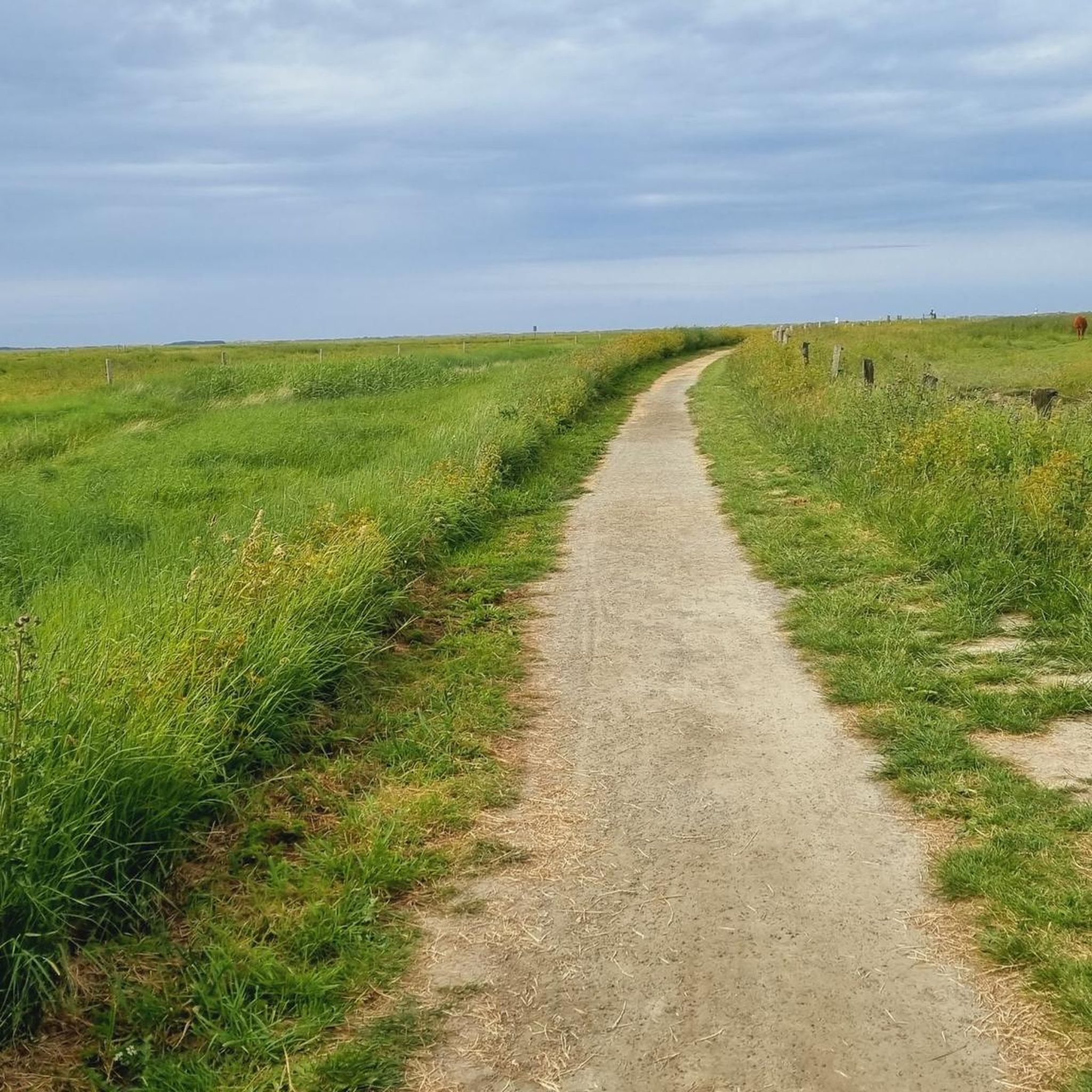
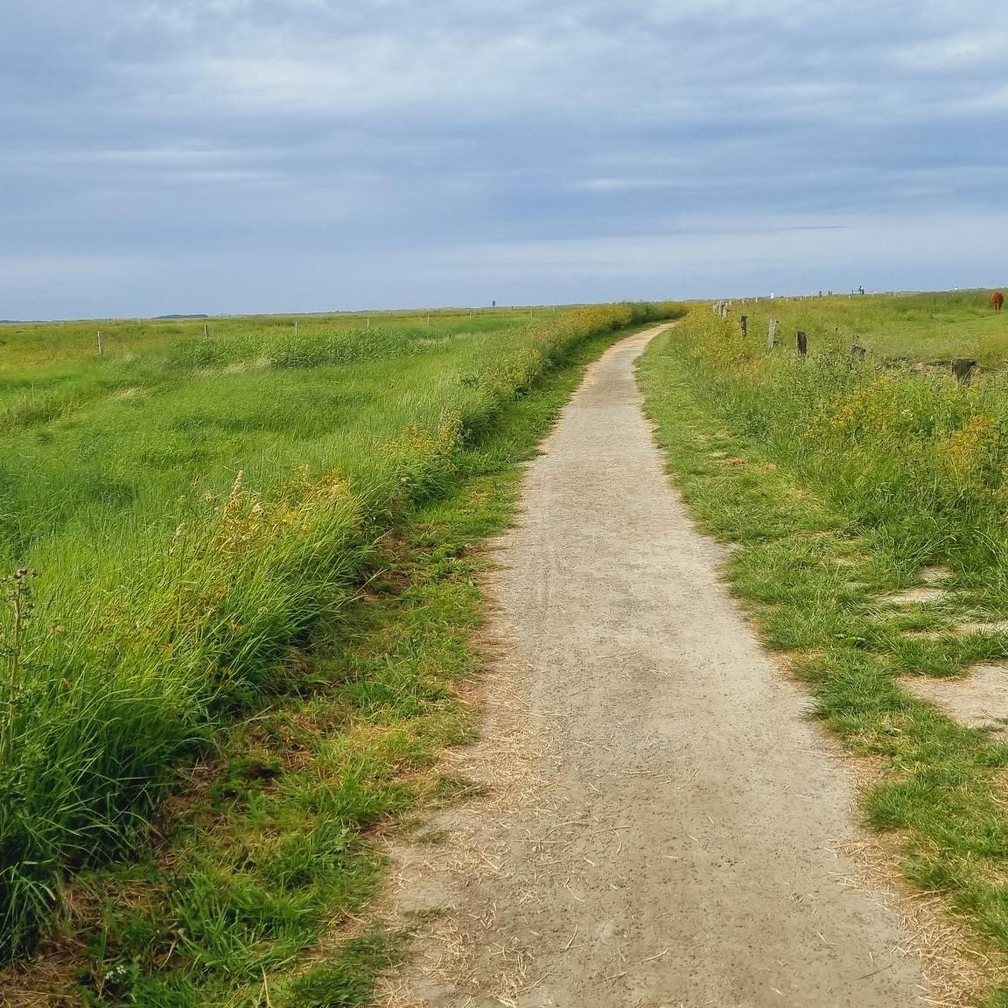
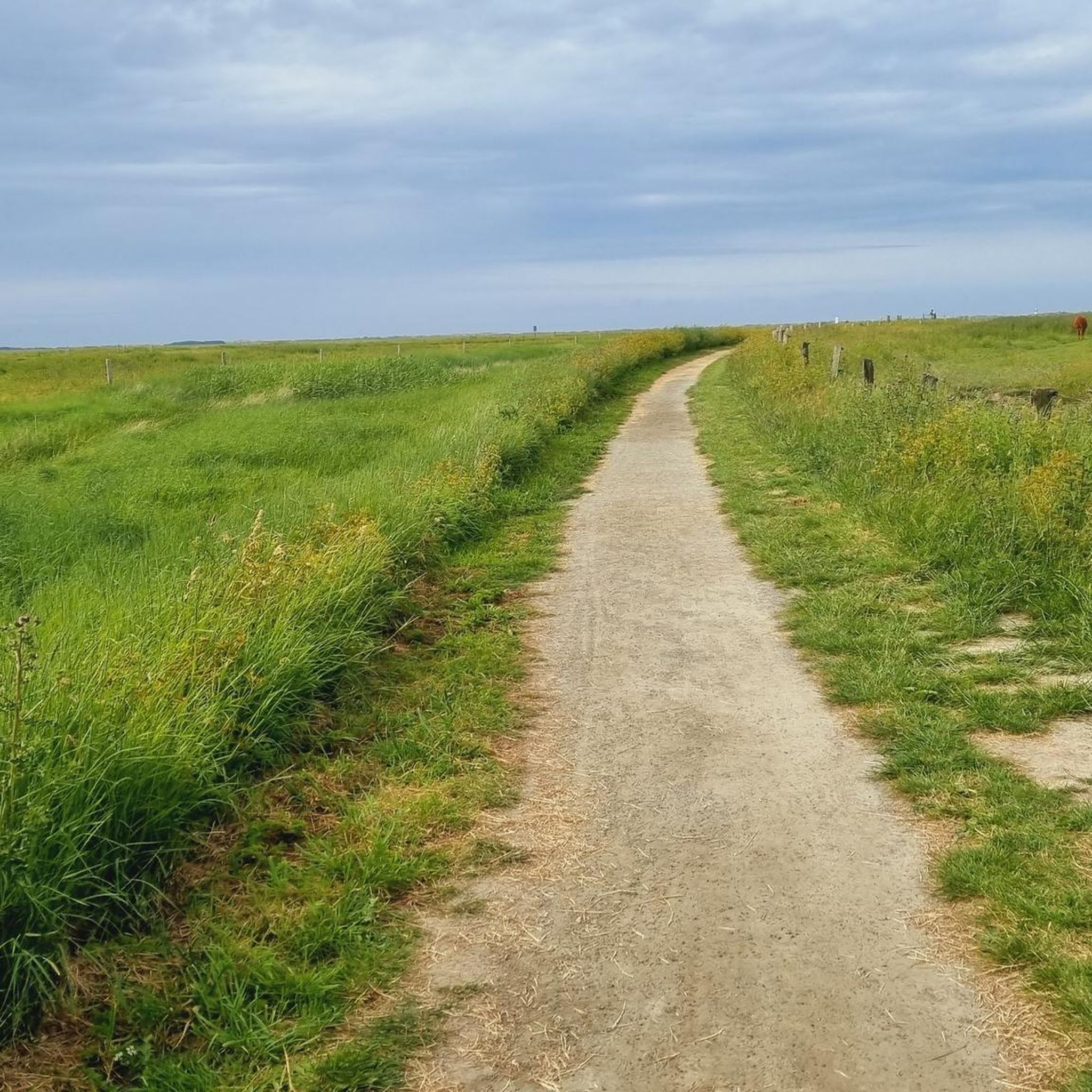
On the dike near Hilgenriedersiel you have a good view of Norderney across the dike foreland.
2
0


Pure nature - feeling far away from civilization - completely different from the other Sielorts
0
0

Very nicely laid out with playground and beach chairs
1
0

The only natural bathing area on the East Frisian coast surrounded by salt marshes.
0
0

A beautiful view into the distance. 🥰
0
0
Frequently Asked Questions
What kind of landscape can I expect when hiking in Hagermarsch?
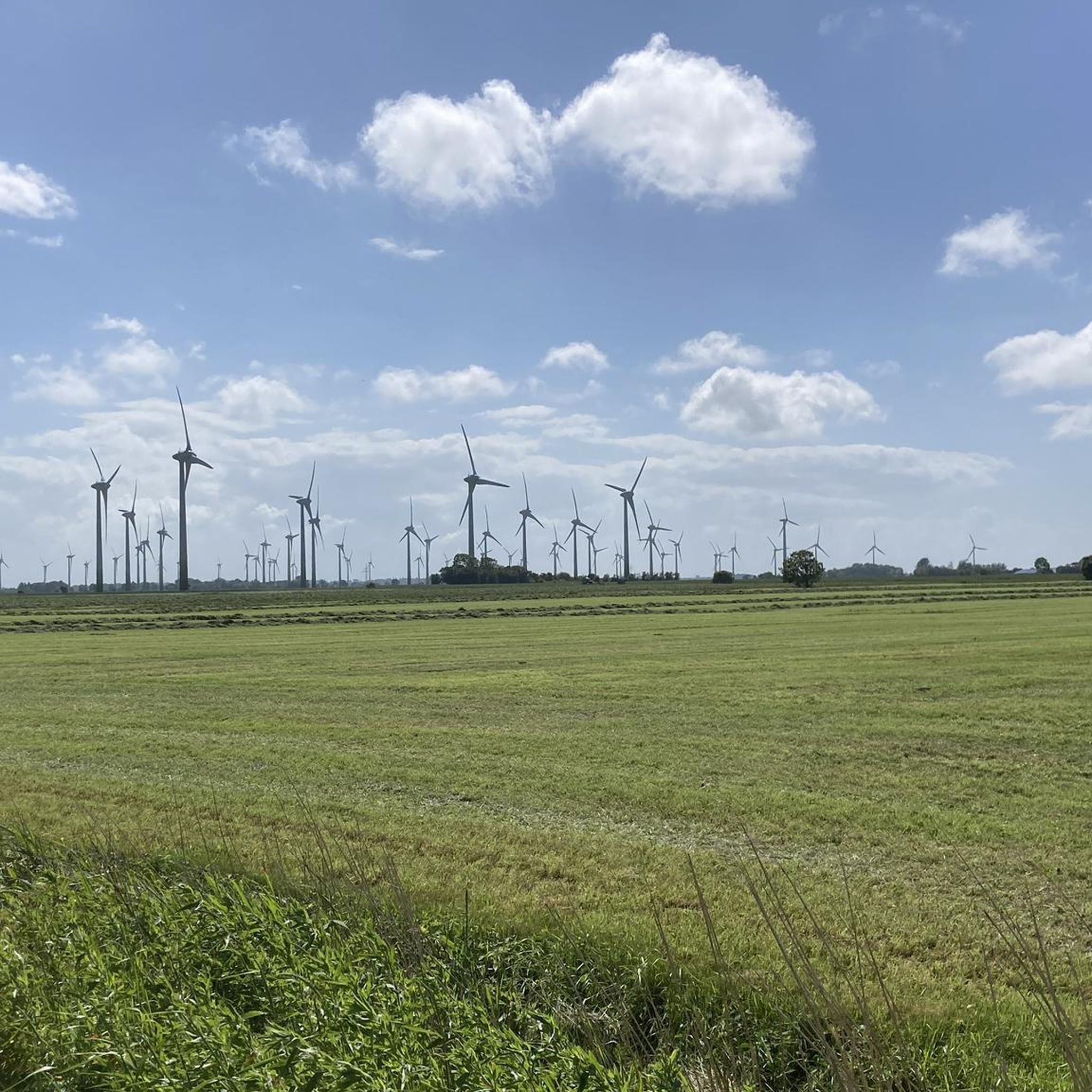
Hagermarsch offers a distinctive East Frisian landscape, characterized by expansive green meadows, intricate networks of canals, and charming small villages. You'll also find direct access to the North Sea coast, with its unique mudflats and elevated dikes that provide panoramic views of the East Frisian Islands and the Wadden Sea. The region also features treeless polder land with dispersed farmsteads.
How many hiking trails are available in Hagermarsch?
There are over 10 hiking trails around Hagermarsch, offering a variety of experiences. Most of these are easy to moderate, making the area accessible for different fitness levels.
Are there any easy, family-friendly hiking routes in Hagermarsch?
Yes, Hagermarsch has several easy routes suitable for families. For instance, the By the dike near Hilgenriedersiel loop is an easy 1.6-mile (2.5 km) path, perfect for a shorter, accessible walk along the dike. The Marscher Tief area is also known for relaxing walks along the water, ideal for families to explore nature.
Can I bring my dog on the hiking trails in Hagermarsch?
Many trails in Hagermarsch are dog-friendly, allowing you to enjoy the East Frisian landscape with your canine companion. However, always keep dogs on a leash, especially near grazing sheep on the dikes and in protected areas like the Wadden Sea, to protect local wildlife and livestock.
Are there any circular walks around Hagermarsch?
Yes, many of the trails in Hagermarsch are circular, offering convenient starting and ending points. An example is the By the dike near Hilgenriedersiel – Hilgenriedersiel Natural Beach loop, an easy 3.9-mile (6.2 km) route that takes you along the dike and to the natural beach.
What is the best time of year to go hiking in Hagermarsch?
The most favorable seasons for hiking in Hagermarsch are spring and summer, when temperatures are mild and nature is in full bloom. Autumn also presents an ideal time for excursions, as the foliage transforms into vibrant colors, and the sea air remains refreshing.
What kind of wildlife can I expect to see on the trails?
Given its coastal and marshland environment, Hagermarsch is rich in birdlife, especially in areas near the Wadden Sea. You might also spot various marshland animals and, notably, sheep grazing on the dikes. The Marscher Tief area is particularly good for observing local wildlife.
Are there any interesting landmarks or attractions near the hiking routes?
Yes, the region offers several points of interest. You can explore historical sites like Lütetsburg Castle, an impressive baroque castle with extensive park grounds, or visit the Berum Castle. For nature lovers, the unique Wadden Sea, a UNESCO World Heritage site, is a significant highlight. You can learn more about this ecosystem at waddensea-worldheritage.org.
Where can I find parking for hiking trails in Hagermarsch?
Parking is generally available near popular trailheads and coastal access points, especially in areas like Hilgenriedersiel. Specific parking information for individual routes can often be found on their respective komoot tour pages.
Are there any cafes or pubs near the hiking trails in Hagermarsch?
While Hagermarsch is a smaller community, you can find options for refreshments. The nearby harbor of Norddeich is known for fresh fish, offering a culinary experience. Additionally, the Lütetsburg Castle Café is an option if you are exploring the castle grounds.
What do other hikers enjoy most about the trails in Hagermarsch?
The trails in Hagermarsch are highly rated by the komoot community, with an average score of 4.6 stars from over 2,500 reviews. Hikers often praise the expansive views of the Wadden Sea and East Frisian Islands from the dikes, the fresh sea air, and the tranquility of the East Frisian landscape.
What is the longest hiking route available in Hagermarsch?
One of the longer routes is the By the dike near Hilgenriedersiel – View of Norderney Lighthouse loop, which is approximately 8.3 miles (13.3 km) long. This moderate trail typically takes about 3 hours and 20 minutes to complete, leading through the coastal dike landscape.
Most popular routes around Hagermarsch
Most popular attractions around Hagermarsch

Get inspired with the komoot mobile app


Explore more
Browse the best Hikes in other regions.
