The best cycling routes in Salcajá
5.0
(3)
99
riders
20
rides
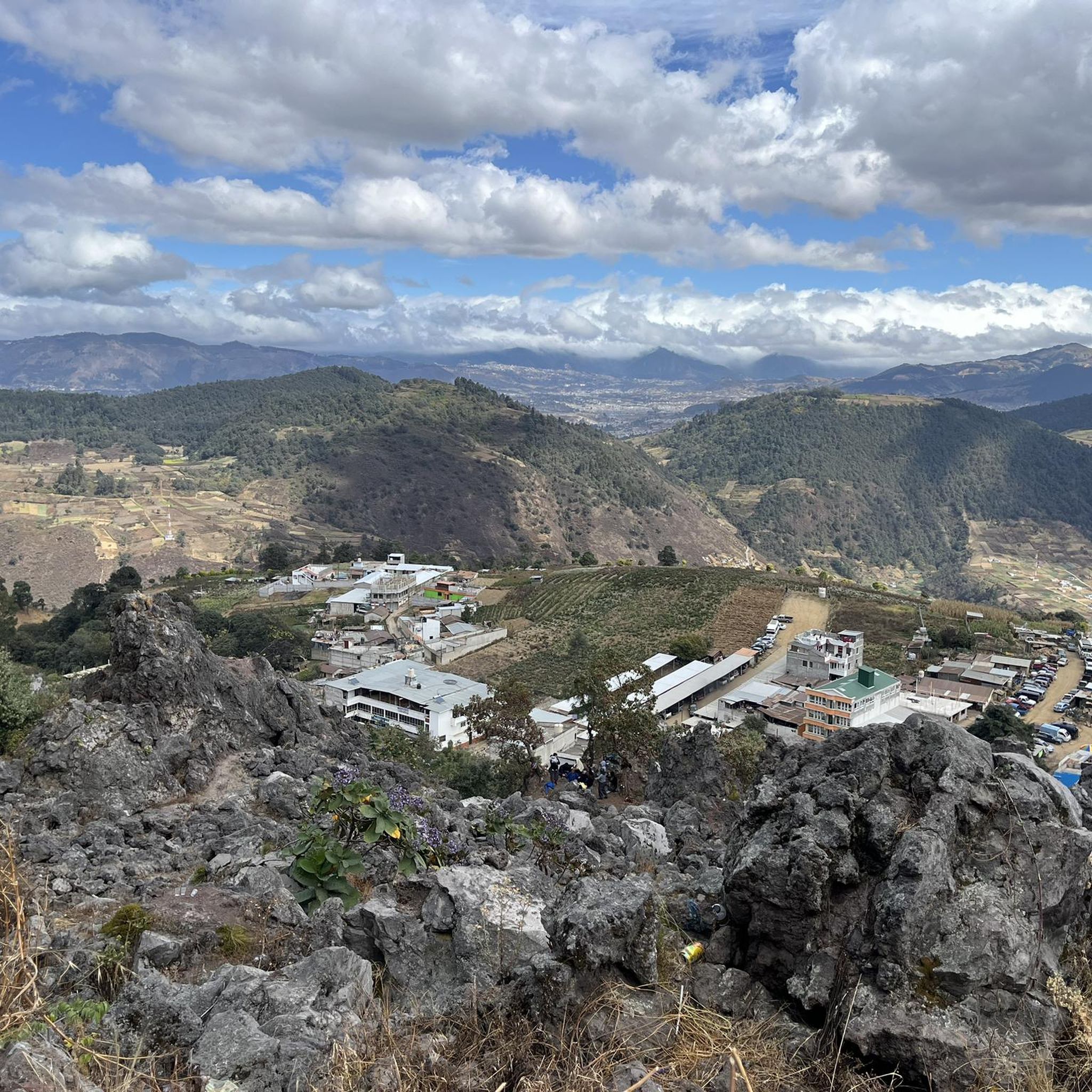
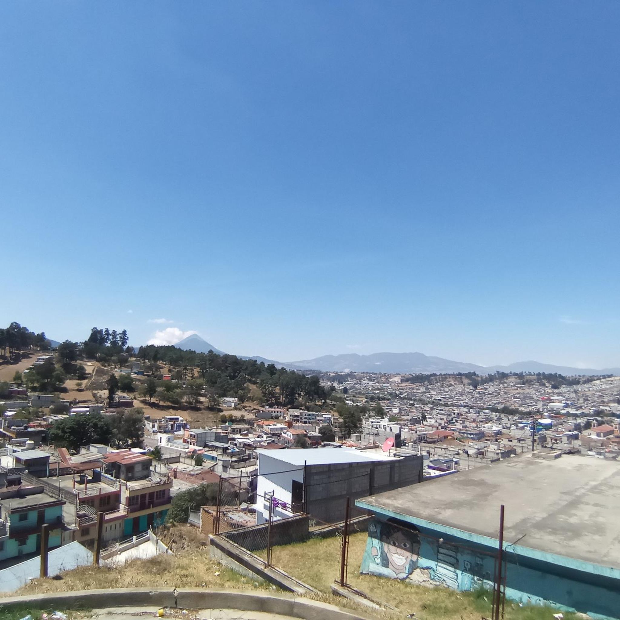
Touring cycling in Salcajá, located in Guatemala's Western Highlands, offers diverse terrain characterized by mountainous and hilly topography. Routes traverse gravel roads, paved sections, and agricultural lands, providing varied riding surfaces. Cyclists encounter significant elevation changes, with both rewarding climbs and descents. The landscape features a mix of cultivated fields and natural areas typical of the highlands.
Best touring cycling routes in Salcajá
- The most popular touring cycling route is In Case I Get Lost loop from Quetzaltenango, a…
Last updated: July 5, 2026
17
riders
14.4km
01:15
370m
370m
Moderate bike ride. Good fitness required. Mostly paved surfaces. Suitable for all skill levels.
5.0
(1)
12
riders
24.3km
01:36
220m
220m
Hard bike ride. Good fitness required. You may need to push your bike for some segments of this route.

Sign up for free
5.0
(1)
9
riders
33.7km
02:21
420m
420m
Moderate bike ride. Good fitness required. Mostly paved surfaces. Suitable for all skill levels.
8
riders
26.0km
01:59
420m
420m
Moderate bike ride. Good fitness required. Mostly paved surfaces. Suitable for all skill levels.
8
riders
24.2km
02:05
620m
620m
Hard bike ride. Very good fitness required. Mostly paved surfaces. Suitable for all skill levels.
7
riders
18.5km
01:28
390m
390m
Moderate bike ride. Good fitness required. Mostly paved surfaces. Suitable for all skill levels.
Get access to more routes and recommendations from other explorers.
Sign up for free
Already have an account?
Our route recommendations are based on thousands of hikes, rides, and runs completed by other people on komoot.
Start today with a free account
Your next adventure awaits.
Login or Signup
Popular around Salcajá
Tips from the Community


Frequently Asked Questions
How many touring cycling routes are available in Salcajá?
Salcajá offers a wide selection of touring cycling routes, with over 20 options available on komoot. These routes cater to various preferences, ranging from moderate to difficult challenges.
What kind of terrain can I expect on touring cycling routes in Salcajá?
The region around Salcajá features diverse terrain characteristic of the Western Highlands. Cyclists will encounter a mix of gravel roads, paved sections, and routes traversing agricultural lands. Expect mountainous and hilly topography, providing both rewarding climbs and descents.
Are there routes suitable for different skill levels?
Yes, Salcajá's touring cycling network includes options for various abilities. You'll find 7 moderate routes and 15 difficult routes, ensuring there's a suitable challenge whether you're looking for a relaxed ride or a more demanding adventure with significant elevation gain.
What cultural landmarks can I explore while cycling in Salcajá?
Salcajá is rich in cultural and historical sites. You can visit the historic Ermita de Concepción La Conquistadora, the first church founded in Central America. The town is also known for its traditional Maya textiles and local beverages like 'Caldo de Frutas'.
Are there any scenic viewpoints along the cycling routes?
Many routes in the Salcajá area offer stunning views of the surrounding highlands. For example, the difficult route Viewpoint at the White Cross – Parque Bonito loop from Quetzaltenango specifically highlights a viewpoint, providing expansive vistas of the varied terrain.
What is the best time of year for touring cycling in Salcajá?
The climate in Salcajá ranges from cool mornings to temperate afternoons, with colder nights, especially towards the end of the year. This generally pleasant weather makes touring cycling enjoyable for much of the year, though cooler temperatures should be anticipated.
Are there family-friendly touring cycling routes in Salcajá?
While the region is known for its mountainous and hilly terrain, some of the moderate routes could be suitable for families with older children or those accustomed to cycling with some elevation. It's always best to check the route details for specific difficulty and elevation profiles.
What do other touring cyclists enjoy most about cycling in Salcajá?
The touring cycling routes in Salcajá are highly rated by the komoot community, with an average score of 5.0 stars from 5 reviews. Cyclists often praise the diverse terrain, the rewarding climbs and descents, and the opportunity to immerse themselves in the timeless rural life and landscape of the Guatemalan highlands.
Are there any circular touring cycling routes available?
Yes, many of the routes in Salcajá are designed as loops, allowing you to start and end at the same point. Examples include the popular In Case I Get Lost loop from Centro Histórico and the longer Viewpoint at the White Cross loop from Quetzaltenango.
Can I find places to relax or picnic along the routes?
While specific cafes along the routes are not detailed, Salcajá itself offers amenities. Just a few blocks from the central park, La Laguneta is a pleasant picnic spot with ornamental ponds, fish, ducks, and green areas, perfect for a break before or after your ride.
What is the longest touring cycling route in the Salcajá area?
For those seeking a longer challenge, the Molino El Quetzal – In Case I Get Lost loop from Quetzaltenango is a difficult route spanning approximately 53.8 km (33.4 miles) with over 1100 meters of elevation gain, offering an extensive exploration of the highlands.
Are there any routes that start from Quetzaltenango and pass through Salcajá?
Several routes originate from Quetzaltenango, providing a journey through the surrounding highlands that can include Salcajá. A notable example is the challenging In Case I Get Lost loop from Quetzaltenango, which covers 21.1 km (13.1 miles) of highland roads.
Most popular routes in Salcajá

Get inspired with the komoot mobile app


Explore more
Browse the best Cycling routes in other regions.
