The best walks and hikes in San Vicente Pacaya
4.1
(53)
938
hikers
11
hikes
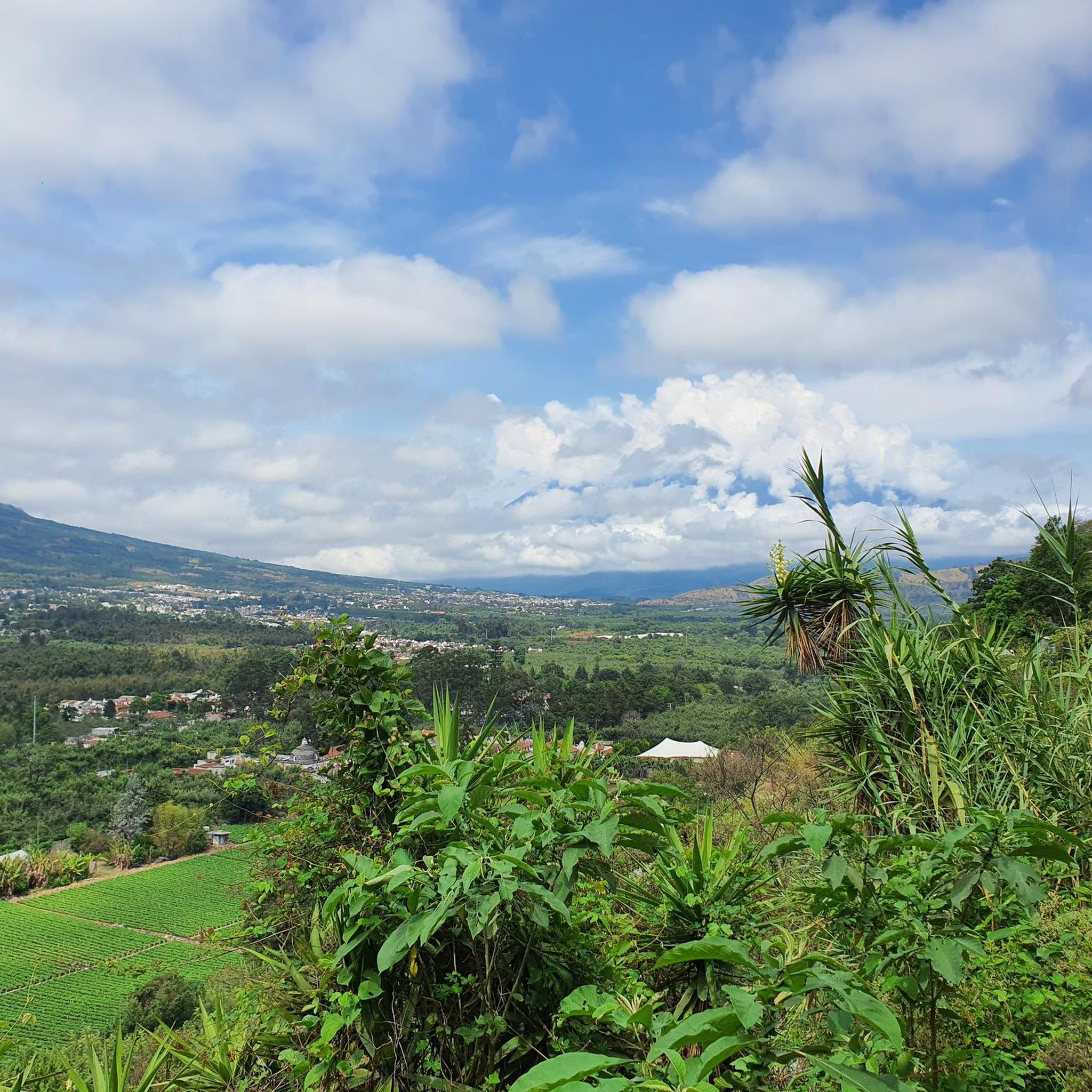
Hiking in San Vicente Pacaya offers access to a unique volcanic landscape dominated by the active Pacaya Volcano. The region is characterized by dramatic volcanic terrain, including solidified lava fields and geothermal activity, alongside lush pine and oak forests. Fertile volcanic soil also supports agricultural lands, providing a diverse backdrop for outdoor activities. Panoramic views of surrounding volcanoes like Agua, Fuego, and Acatenango, as well as the Pacific lowlands, are common along the trails.
Best hiking trails in San Vicente Pacaya
- The most popular hiking route is View of Pacaya Volcano loop from San Francisco de Sales, a 3.8 miles (6.2 km) trail that takes 2 hours 17 minutes to complete, offering direct views of the active volcano.
- Another top favourite among local hikers is Pizza Stand on Pacaya Volcano – View of Volcán de Agua loop from Übernachtungplatz kostenfrei, a moderate 3.2 miles (5.2 km) path. This route features unique volcanic hot spots and views of Volcán de Agua.
- Local hikers also love the Mirador 2 cerro chino loop from Übernachtungplatz kostenfrei, a 2.1 miles (3.5 km) trail leading through volcanic landscapes and to Cerro Chino viewpoints, often completed in about 1 hour 23 minutes.
- Hiking in San Vicente Pacaya is defined by volcanic peaks, pine forests, and panoramic views of other volcanoes, with routes available for easy, moderate, and difficult ability levels.
- The routes in San Vicente Pacaya are highly rated by the komoot community with an average score of 4.2 stars from over 40 reviews. More than 800 hikers have used komoot to explore San Vicente Pacaya's varied terrain.
Last updated: July 2, 2026
4.6
(29)
445
hikers
6.18km
02:17
400m
400m
Moderate hike. Good fitness required. Easily-accessible paths. Suitable for all skill levels.
4.7
(17)
276
hikers
Moderate hike. Good fitness required. Easily-accessible paths. Suitable for all skill levels.

Sign up for free
4.7
(3)
55
hikers
Moderate hike. Good fitness required. Easily-accessible paths. Suitable for all skill levels.
42
hikers
3.55km
01:24
270m
270m
Easy hike. Great for any fitness level. Easily-accessible paths. Suitable for all skill levels.
3.0
(1)
29
hikers
5.06km
02:01
400m
400m
Moderate hike. Good fitness required. Easily-accessible paths. Suitable for all skill levels.
4.0
(1)
23
hikers
6.59km
02:28
440m
440m
Moderate hike. Good fitness required. Easily-accessible paths. Suitable for all skill levels.
3.0
(1)
4
hikers
6.84km
02:52
590m
590m
Moderate hike. Good fitness required. Easily-accessible paths. Suitable for all skill levels.
Get access to more routes and recommendations from other explorers.
Sign up for free
Already have an account?
Our route recommendations are based on thousands of hikes, rides, and runs completed by other people on komoot.
Start today with a free account
Your next adventure awaits.
Login or Signup
Popular around San Vicente Pacaya

Tips from the Community

High humidity on the ascent and cold winds at the top. Bring plenty of clothing.
0
0

Start of the path to the volcano, the climb up is very simple via a well-trodden road and signs. Slope and terrain simple and manageable even with sneakers.
2
0
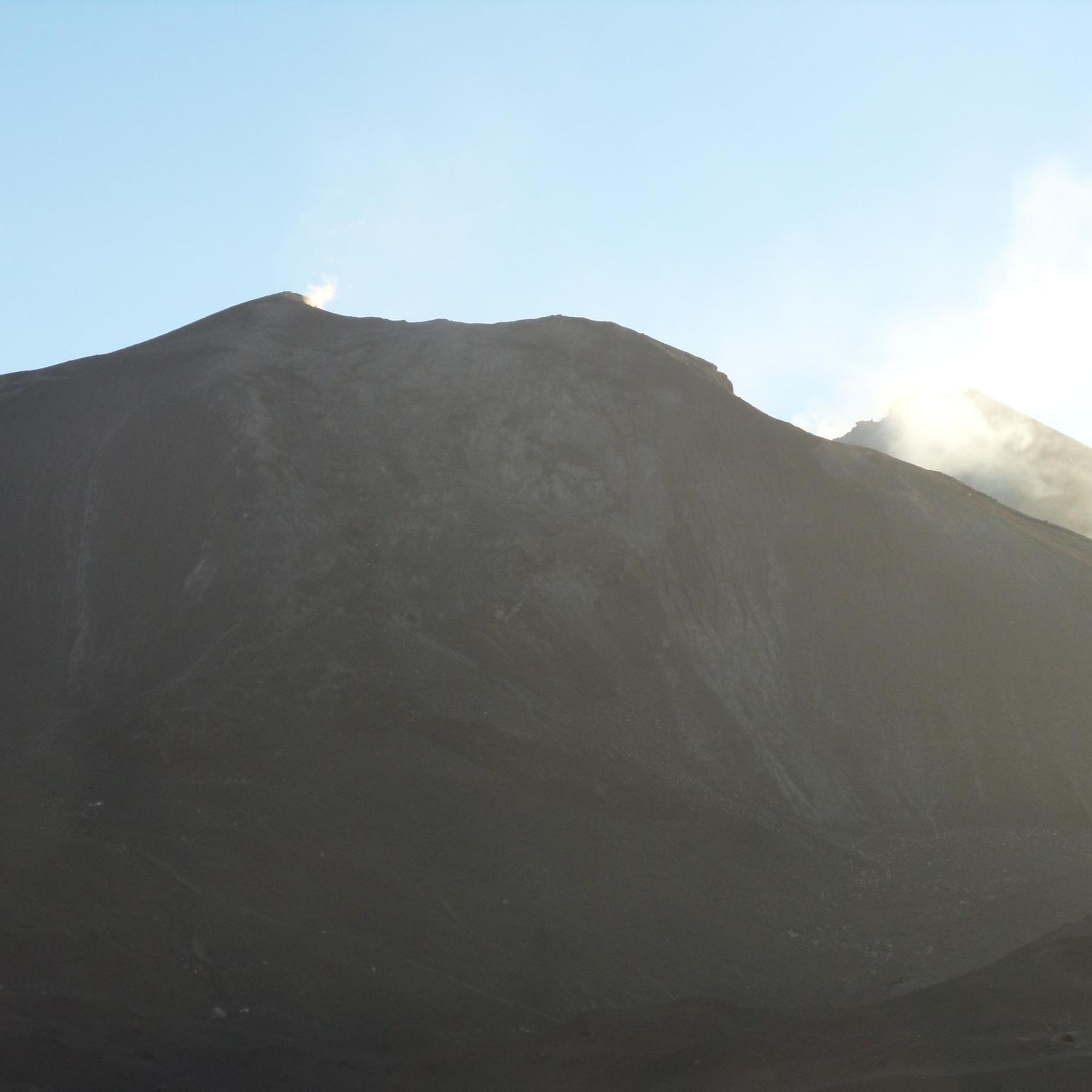
Panoramic point that gives a good idea of the majesty of the volcano which, at times, delights with puffs and eruptions.
0
0
Best panoramic point to observe the volcano and its fumaroles. The route is absolutely simple and suitable for everyone with simple sneakers.
0
0
The pizza is not the best, the hygiene is non-existent and the cost is exorbitant. In any case, the experience of eating it on an active volcano more than makes up for these shortcomings.
0
0
Strategically positioned along the ascent to the volcano, this kiosk offers a refreshing break based on freshly peeled seasoned oranges for just a few pennies. I definitely recommend a stop!
0
0

Entry 02/2022: 100 Quetzales for foreigners, 30 for Guatemalans and 10 for students. Entry is only possible with a guide. If you have not already booked a tour in advance, you can try to join a group in advance. If the ascent or descent is too difficult for you, you can go on horseback instead of on foot (200 quetzales one way). Children sell hiking sticks on site. There are toilets and a shop downstairs. To avoid disappointment: there is no lava escaping from the volcano, and it is not possible to climb to the top. The hike is approximately 3 km each way. Further and current information: http://www.volcanpacaya.info/
3
0
The last eruption was in 2021, according to the tour guide it is currently no longer possible to climb the summit. The routes end below. A tour with a guide is necessary to be able to go to the direction of the Pacayas.
2
0
Frequently Asked Questions
How many hiking trails are available in San Vicente Pacaya?
San Vicente Pacaya offers a diverse range of hiking experiences with over 10 trails to explore. These routes cater to various skill levels, from easy walks to more challenging ascents.
What is the typical difficulty level for hikes in San Vicente Pacaya?
The majority of hikes in San Vicente Pacaya are considered moderate, with 9 out of 11 routes falling into this category. There is also 1 easy trail and 1 difficult trail, ensuring options for different fitness levels.
What kind of terrain can I expect on hikes around San Vicente Pacaya?
Hikers in San Vicente Pacaya will encounter a unique blend of dramatic volcanic landscapes, including solidified lava fields and areas with geothermal activity. Beyond the immediate volcanic terrain, routes often traverse lush pine and oak forests, supported by the region's fertile volcanic soil.
Are there specific viewpoints offering panoramic views?
Yes, many trails offer breathtaking panoramic views. You can expect to see surrounding volcanoes like Agua, Fuego, and Acatenango, as well as the Pacific lowlands and Lake Amatitlán. The Mirador 2 cerro chino loop from Übernachtungplatz kostenfrei specifically leads to Cerro Chino viewpoints, which are highly regarded.
Can I experience unique volcanic activities during a hike?
Absolutely! A popular and unique activity is roasting marshmallows over hot spots created by the volcano's geothermal heat. Some tours even offer the opportunity to cook pizza using the volcano's natural heat. For a route that features these unique volcanic hot spots, consider the Pizza Stand on Pacaya Volcano – View of Volcán de Agua loop from Übernachtungplatz kostenfrei.
What is the best time of year to hike in San Vicente Pacaya?
While specific seasons aren't detailed, the region's volcanic activity is continuous. Generally, the dry season (November to April) offers clearer skies and more comfortable hiking conditions, making it ideal for panoramic views and avoiding muddy trails.
Are there any family-friendly hiking options in San Vicente Pacaya?
Yes, there are options suitable for families. The Mirador 2 cerro chino loop from Übernachtungplatz kostenfrei is an easy 2.1-mile (3.5 km) trail that takes about 1 hour 23 minutes, making it a good choice for families looking for a less strenuous volcanic experience.
Are dogs allowed on the hiking trails in San Vicente Pacaya?
While the region is popular for outdoor activities, specific regulations regarding dogs on the Pacaya Volcano trails are not universally clear. It's advisable to check with local guides or park authorities directly before bringing your dog, as active volcanic areas may have restrictions for safety reasons.
What do other hikers enjoy the most about hiking in San Vicente Pacaya?
The area is highly rated by the komoot community, with an average score of 4.2 stars from over 40 reviews. Reviewers often praise the unique experience of hiking an active volcano, the dramatic volcanic landscapes, and the breathtaking panoramic views of surrounding volcanoes and lowlands.
Are there any circular hiking routes available?
Yes, several circular routes are available, offering a complete experience without retracing your steps. Examples include the popular View of Pacaya Volcano loop from San Francisco de Sales and the Mirador 2 cerro chino loop from Übernachtungplatz kostenfrei.
What are some natural attractions in the region besides the Pacaya Volcano?
Beyond the Pacaya Volcano, the region boasts other natural attractions such as the El Ojo de Agua springs, Las Pilas, and a hot lagoon. The nearby Laguna de Calderas also offers serene landscapes, adding to the diverse natural beauty of the area.
Is public transport available to reach the hiking trailheads?
Public transport options to the Pacaya Volcano area are generally available, often involving local buses or 'chicken buses' from nearby towns like Antigua or Guatemala City to San Vicente Pacaya. From there, local transport or taxis may be needed to reach the specific trailheads. Guided tours often include transportation.
What should I wear and bring for a hike in San Vicente Pacaya?
Given the volcanic terrain and potential for varying weather, it's recommended to wear sturdy hiking boots, layers of clothing (as temperatures can change), and bring plenty of water, sunscreen, a hat, and a headlamp if hiking near dusk or dawn. Guides are highly recommended for safety and local insights.
Most popular routes in San Vicente Pacaya

Get inspired with the komoot mobile app


Didn’t find what you were looking for?
Check out more Hikes throughout San Vicente Pacaya below and find the perfect route in your destination.
