The best walks and hikes in Parramos
4.5
(116)
3,513
hikers
23
hikes
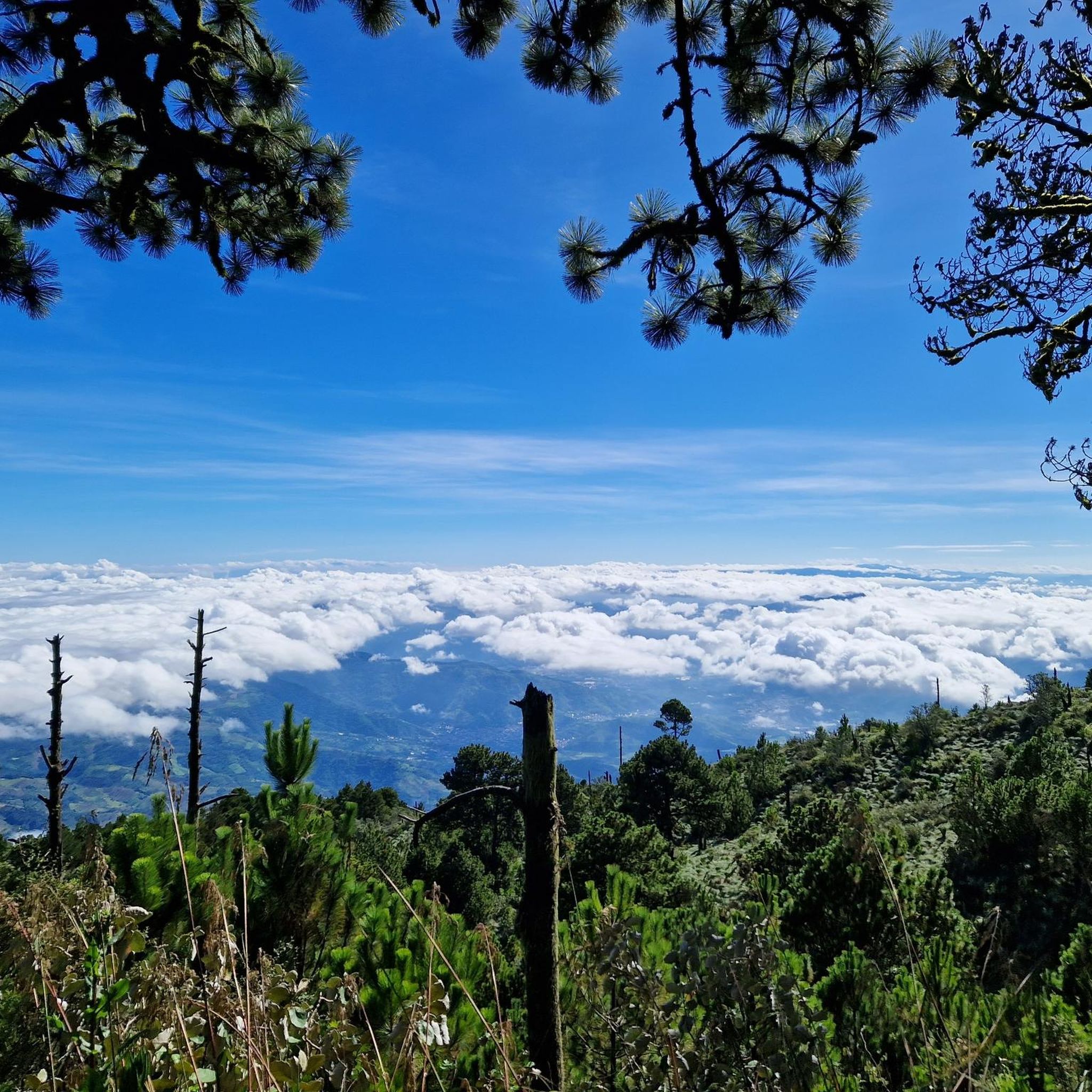
Hiking in Parramos, Guatemala, offers trails primarily characterized by volcanic landscapes and significant elevation changes. The region is dominated by prominent stratovolcanoes like Volcán de Acatenango and Volcán de Fuego, providing challenging ascents and panoramic views. Trails often lead through high-altitude terrain, with routes connecting base camps and summits.
Best hiking trails in Parramos
- The most popular hiking route is Summit of Volcán de Acatenango – Acatenango Base Camps loop from Miratenango, a 7.6 miles (12.3 km) trail that…
Last updated: July 5, 2026
4.8
(19)
731
hikers
12.8km
07:20
1,340m
1,340m
Hard hike. Very good fitness required. Sure-footedness, sturdy shoes and alpine experience required.
4.8
(16)
772
hikers
Hard hike. Good fitness required. Sure-footedness, sturdy shoes and alpine experience required.

Sign up for free
4.8
(19)
320
hikers
13.2km
08:02
1,550m
1,550m
Hard hike. Very good fitness required. Sure-footedness, sturdy shoes and alpine experience required.
4.0
(4)
272
hikers
5.23km
03:20
610m
610m
Hard hike. Good fitness required. Sure-footedness, sturdy shoes and alpine experience required.
4.5
(4)
241
hikers
2.63km
01:30
370m
360m
Moderate hike. Good fitness required. Easily-accessible paths. Suitable for all skill levels.
5.0
(1)
96
hikers
Hard hike. Good fitness required. Sure-footedness, sturdy shoes and alpine experience required.
4.8
(20)
694
hikers
13.2km
06:56
1,150m
1,150m
Hard hike. Very good fitness required. Mostly accessible paths. Sure-footedness required.
5.0
(4)
36
hikers
13.3km
08:00
1,540m
1,540m
Hard hike. Very good fitness required. Sure-footedness, sturdy shoes and alpine experience required.
5.0
(1)
49
hikers
4.44km
01:13
70m
70m
Easy hike. Great for any fitness level. Easily-accessible paths. Suitable for all skill levels.
5.0
(1)
27
hikers
Hard hike. Good fitness required. Sure-footedness, sturdy shoes and alpine experience required.
Get access to more routes and recommendations from other explorers.
Sign up for free
Already have an account?
Our route recommendations are based on thousands of hikes, rides, and runs completed by other people on komoot.
Start today with a free account
Your next adventure awaits.
Login or Signup


Tips from the Community

Yes, nice courtyard and nice atmosphere, but everything is really brutally expensive. A normal person can hardly afford it anymore.
0
0


1a Calle Oriente is a beautiful, quiet street on the edge of the old town. It is lined with spacious, historic properties with lovely gardens. A charming café is located in one of these gardens.
0
0

hike without any difficulty, just a little more elevation after a big climb before but worth the detour
0
0
Perfect place to sleep! A few places to put up the tent and admire the view without being in the boxes with everyone else.
1
0

Nice bistro with a small courtyard full of plants. The hot chocolate was delicious
0
0
Market hall with great artisan items, souvenirs
0
0
Is the best preserved baroque building in the old capital of the country. The Mercedarian Order was founded in 1218 by Peter Nolascus in the Kingdom of Aragon. De.m.wikipedia.org
0
0
Frequently Asked Questions
How many hiking trails are available in Parramos?
There are over 25 hiking trails in Parramos, offering a range of difficulties from easy walks to challenging volcano ascents. The region is particularly known for its high-altitude routes and dramatic volcanic landscapes.
Are there easy hiking trails suitable for beginners in Parramos?
Yes, Parramos offers 8 easy hiking trails. While many routes are challenging, there are options for those seeking a less strenuous experience, often found at lower elevations or around the base of the volcanoes.
What is the best time of year to go hiking in Parramos?
The dry season, typically from November to April, is ideal for hiking in Parramos. This period offers clearer skies and more stable weather conditions, which are crucial for enjoying the panoramic views from the volcanoes and for safer ascents.
Are there any challenging hikes in Parramos for experienced hikers?
Absolutely. Parramos is renowned for its challenging volcanic hikes, with 11 routes rated as difficult. Trails like the View of Volcán de Fuego – Summit of Volcán de Acatenango loop from la Soledad involve significant elevation gain and high-altitude trekking, offering a demanding yet rewarding experience.
What should I wear for hiking in Parramos?
Due to the high-altitude volcanic terrain, it's essential to dress in layers. Temperatures can vary significantly, especially on volcano ascents. Bring sturdy hiking boots, waterproof outer layers, warm clothing, sun protection, and plenty of water.
Are there any circular hiking routes in Parramos?
Yes, many of the popular routes in Parramos are circular, allowing you to start and end at the same point. An example is the Summit of Volcán de Acatenango loop from Acatenango, which provides a complete experience of the volcanic landscape.
Can I bring my dog on the hiking trails in Parramos?
While many trails in Guatemala are generally dog-friendly, specific regulations can vary, especially in protected volcanic areas. It's advisable to check local guidelines or with tour operators if you plan to bring your dog on a volcano ascent, as some areas may have restrictions.
Are there family-friendly hiking options in Parramos?
While many of the prominent volcano hikes are challenging, there are easier trails that families can enjoy. Look for routes with less elevation gain or shorter distances. Always assess the difficulty and duration to ensure it's suitable for all family members.
What do other hikers enjoy most about hiking in Parramos?
The hiking trails in Parramos are highly rated by the komoot community, with an average score of 4.5 stars. Reviewers often praise the breathtaking panoramic views of active volcanoes, the unique volcanic landscapes, and the challenging yet rewarding ascents.
Is parking available at the trailheads in Parramos?
For popular volcano hikes, designated parking areas are often available near the main trailheads, such as those leading to Acatenango. These may be managed by local communities or tour operators, sometimes for a small fee. For less frequented trails, parking might be more informal.
Are there opportunities to see wildlife while hiking in Parramos?
The volcanic slopes and surrounding forests of Parramos are home to various bird species and smaller mammals. While direct sightings can be rare, hikers often report seeing diverse birdlife and occasionally spotting local wildlife, especially in quieter sections of the trails.
Are there any hidden gem hiking trails in Parramos?
While the major volcano routes are well-known, exploring some of the less-trafficked moderate trails can reveal quieter paths and unique perspectives of the landscape. These might offer a more secluded experience away from the main ascent routes.
Most popular routes in Parramos

Get inspired with the komoot mobile app


Explore more
Browse the best Hikes in other regions.
