The best walks and hikes around Haag in Oberbayern
4.4
(115)
567
hikers
62
hikes
Hiking around Haag in Oberbayern offers diverse trails through a landscape characterized by rolling hills, dense forests, and river valleys. The region is situated within the Bavarian foothills, providing varied terrain and scenic views. Hikers can explore unique geological features such as "Toteiskessel" (kettle holes) and distinctive rock formations. This area provides a range of hiking experiences, from leisurely walks to more challenging paths.
Best hiking trails around Haag in Oberbayern
- The most popular hiking route is Toteiskesselweiher – Toteiskessel…
Last updated: October 14, 2026
4.7
(56)
211
hikers
Moderate hike. Good fitness required. Easily-accessible paths. Suitable for all skill levels.
4.6
(10)
42
hikers
Moderate hike. Good fitness required. Easily-accessible paths. Suitable for all skill levels.

5.0
(2)
25
hikers
Moderate hike. Good fitness required. Easily-accessible paths. Suitable for all skill levels.
4.0
(1)
17
hikers
Easy hike. Great for any fitness level. Easily-accessible paths. Suitable for all skill levels.
4.2
(5)
14
hikers
Moderate hike. Good fitness required. Easily-accessible paths. Suitable for all skill levels.
Get access to more routes and recommendations from other explorers.
Already have an account?
Our route recommendations are based on thousands of hikes, rides, and runs completed by other people on komoot.
Start today with a free account
Your next adventure awaits.
Popular around Haag in Oberbayern
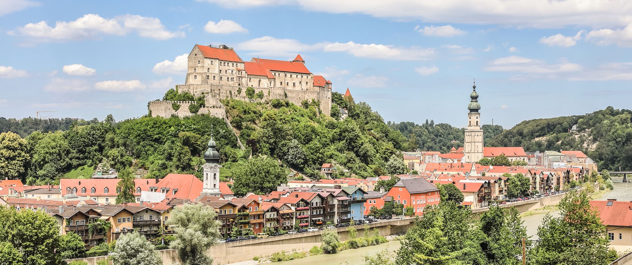
Top 10 cycling routes around Inn-Salzach in Bavaria
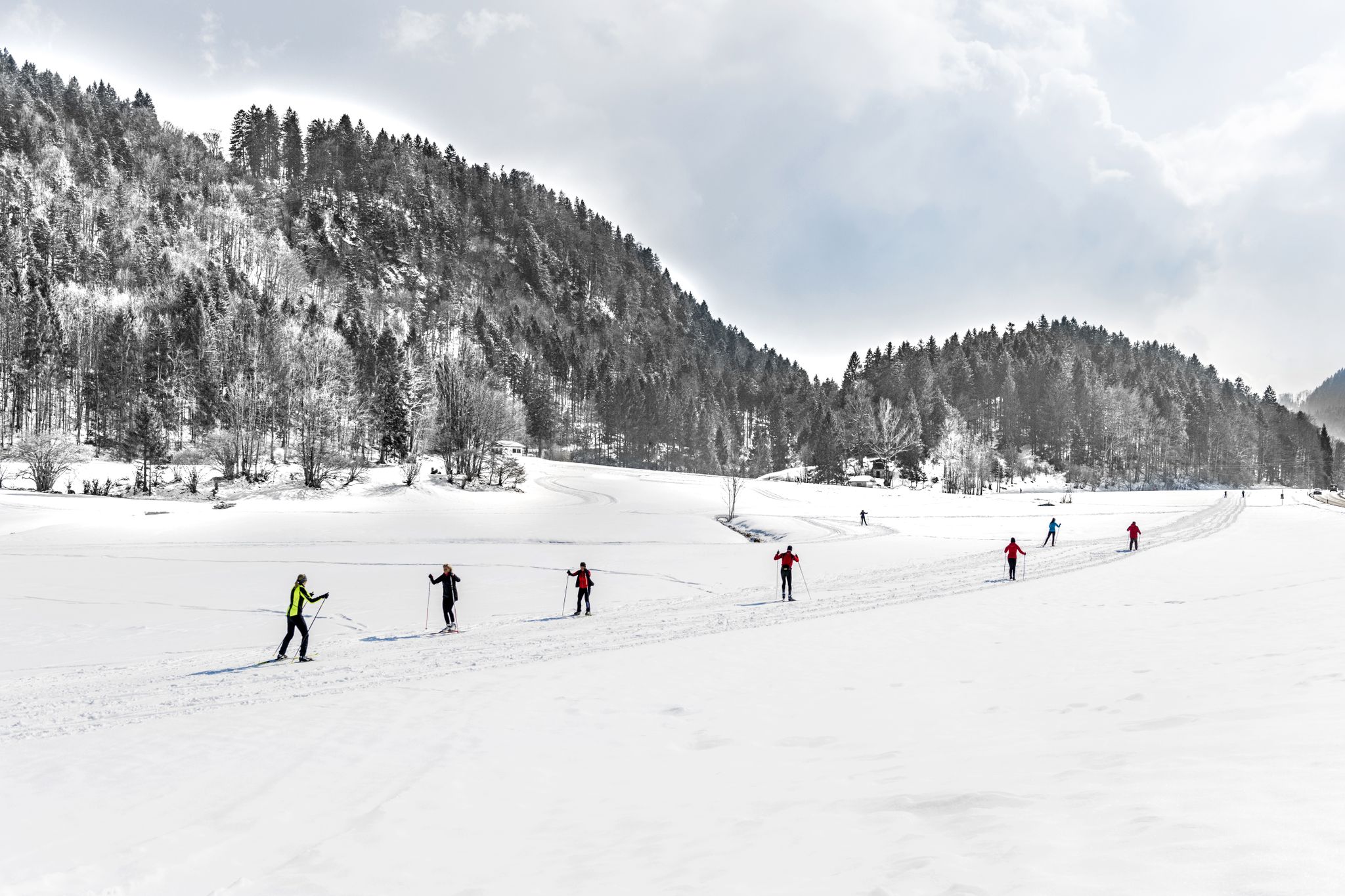
Alpenpanorama und Winterwald: Langlaufen in Oberbayern
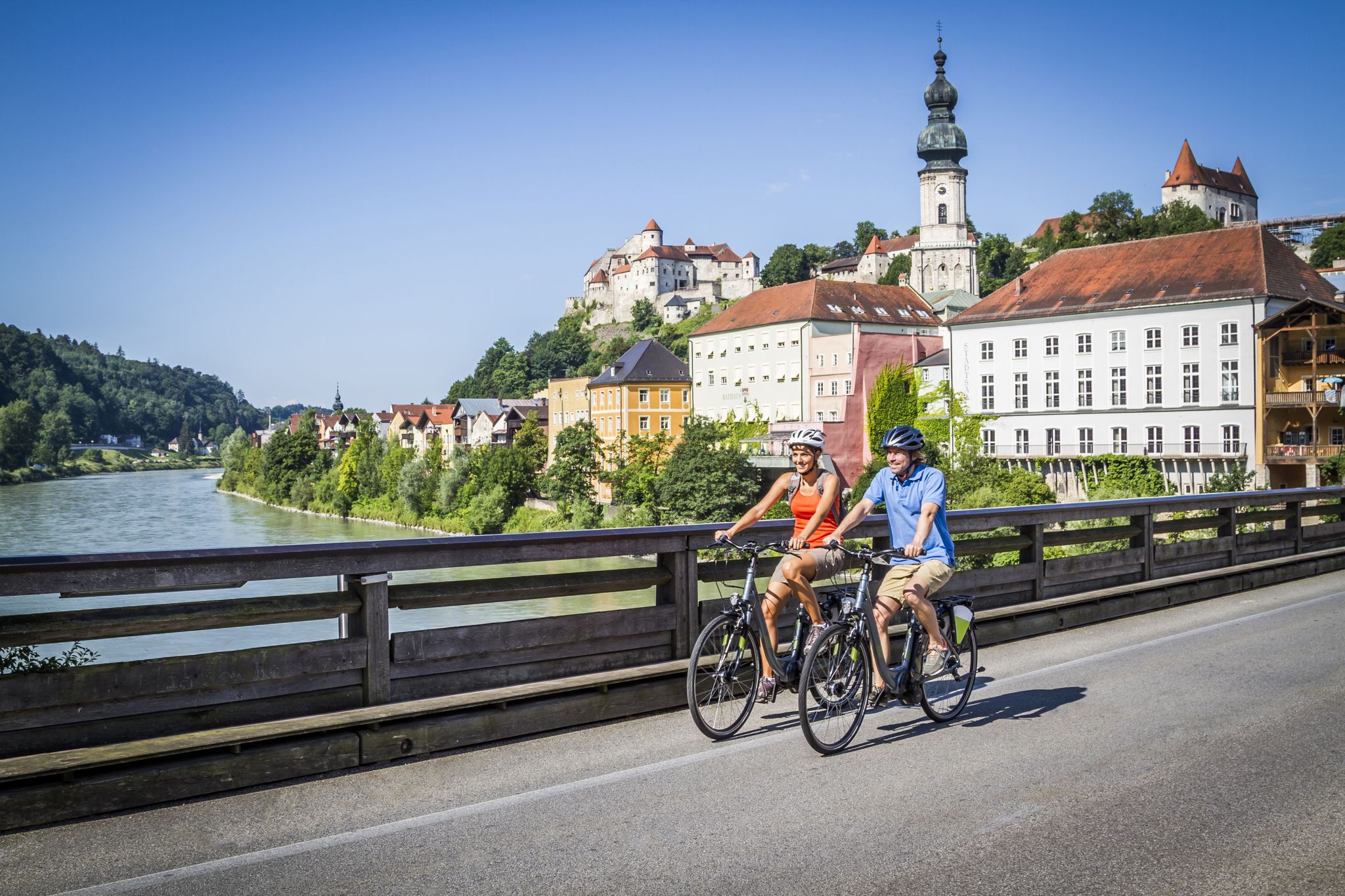
RadReiseRegion Inn-Salzach – unsere 24 Thementouren
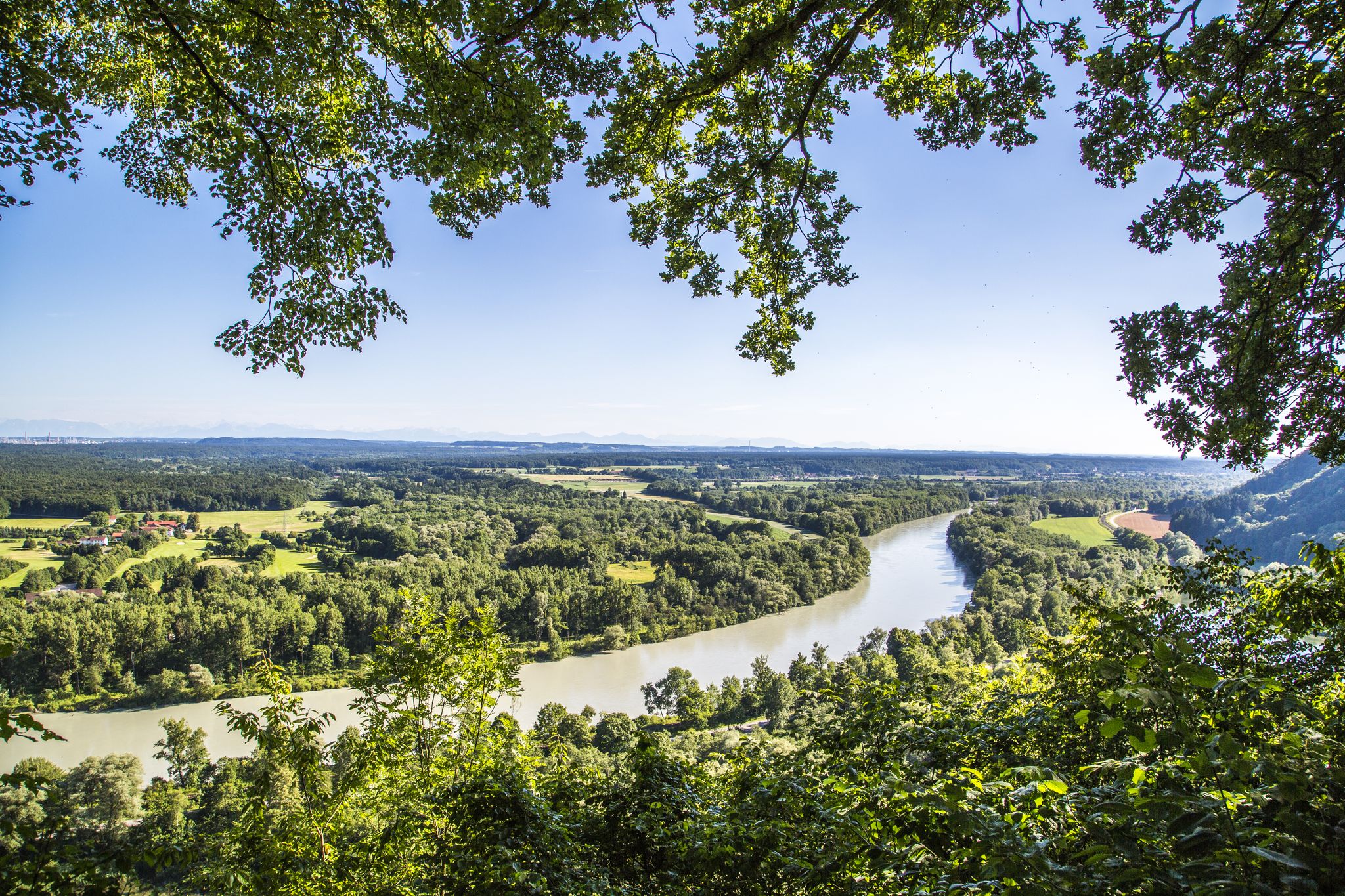
Noch mehr RadReiseRegion Inn-Salzach erfahren
Cycling around Haag in Oberbayern
MTB Trails around Haag in Oberbayern
Road Cycling Routes around Haag in Oberbayern

Gravel biking around Haag in Oberbayern
Running Trails around Haag in Oberbayern
Other adventures around Haag in Oberbayern


Tips from the Community

Beautiful inn, excellent cuisine, friendly service
0
0

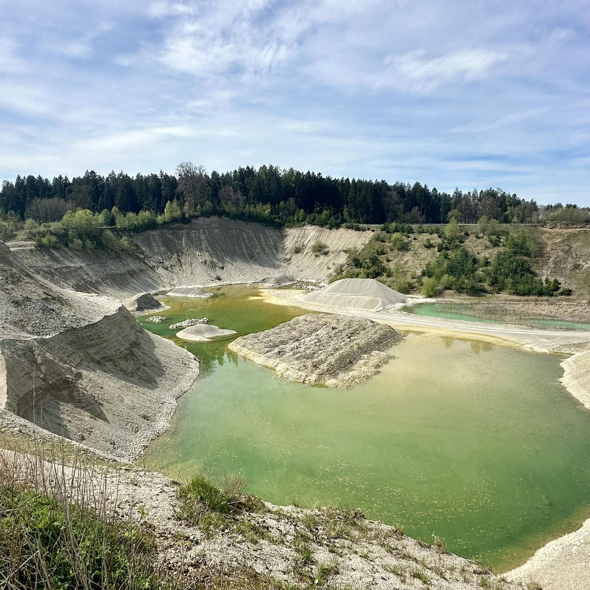
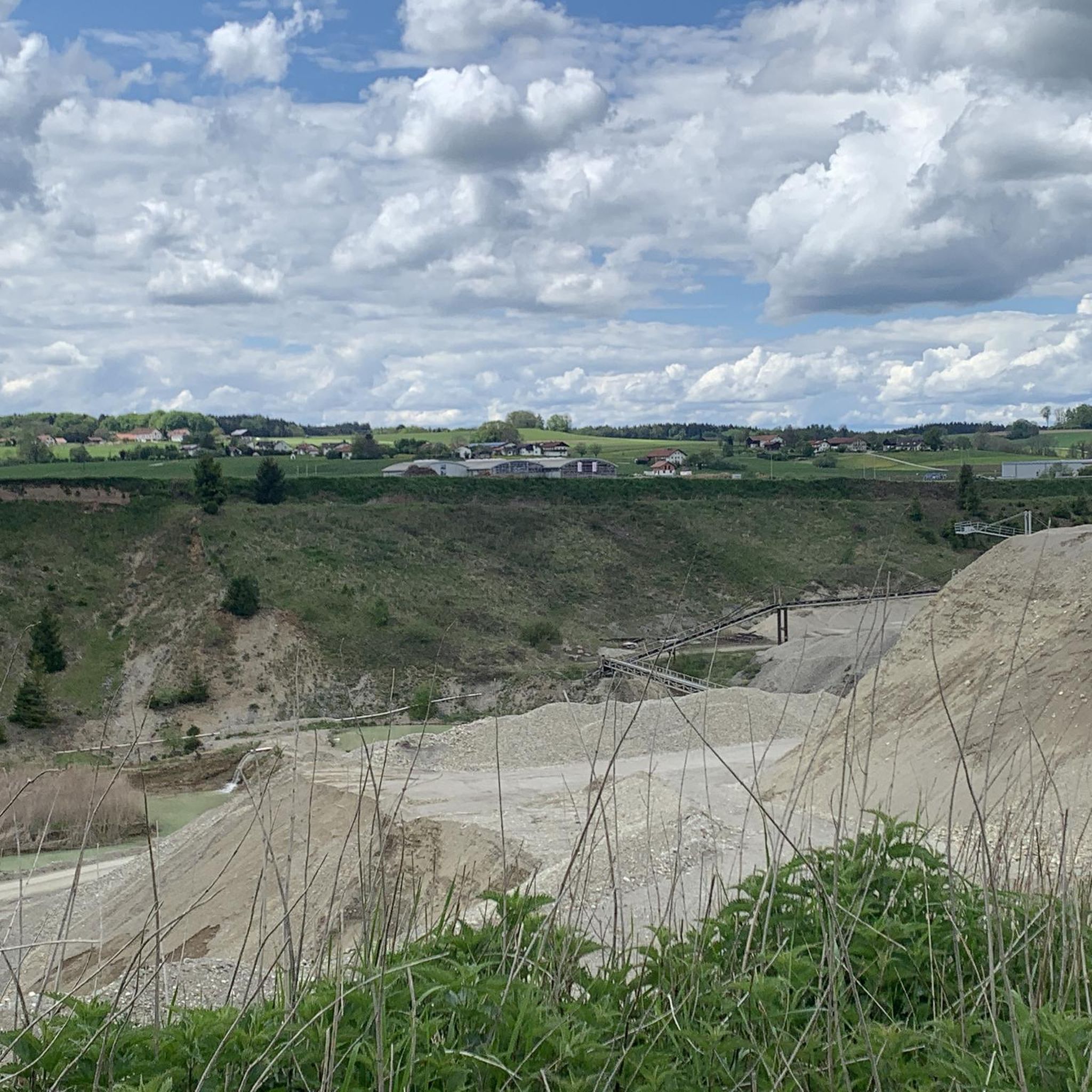
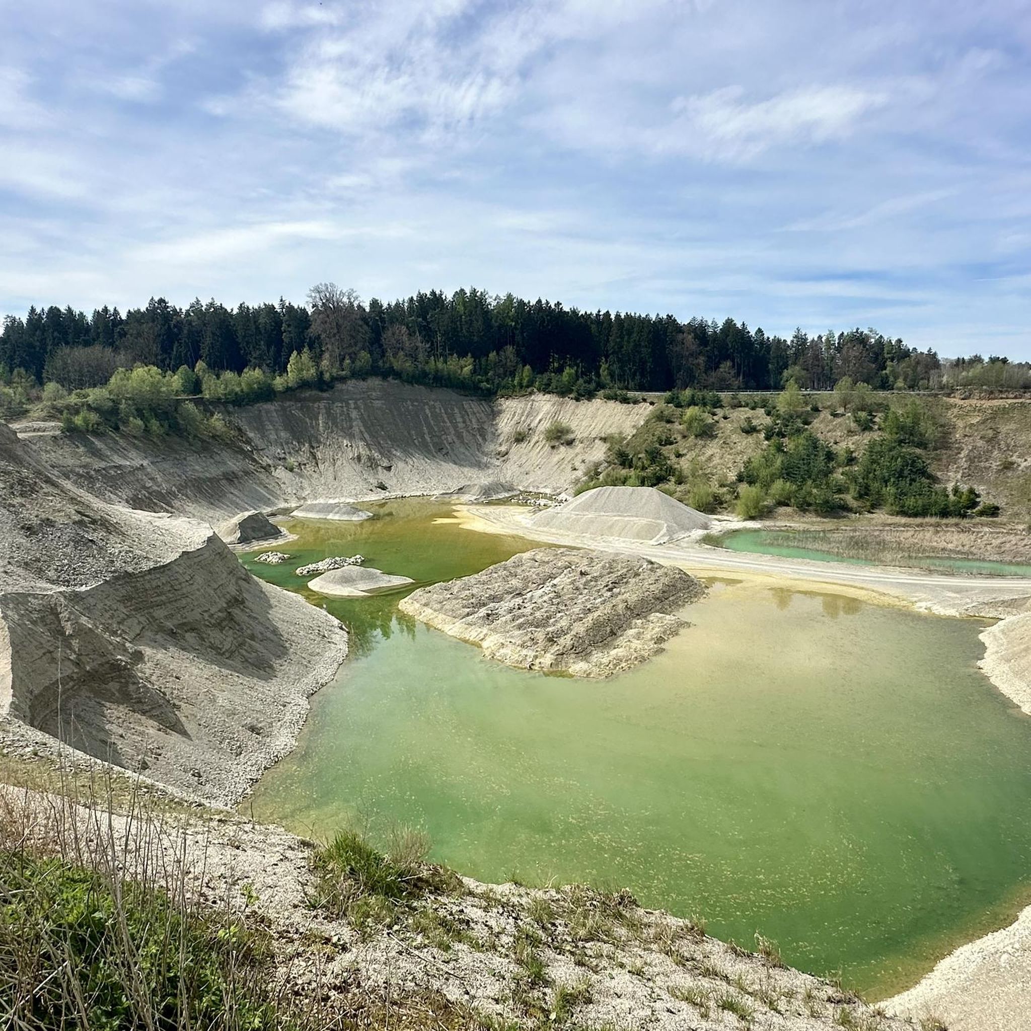
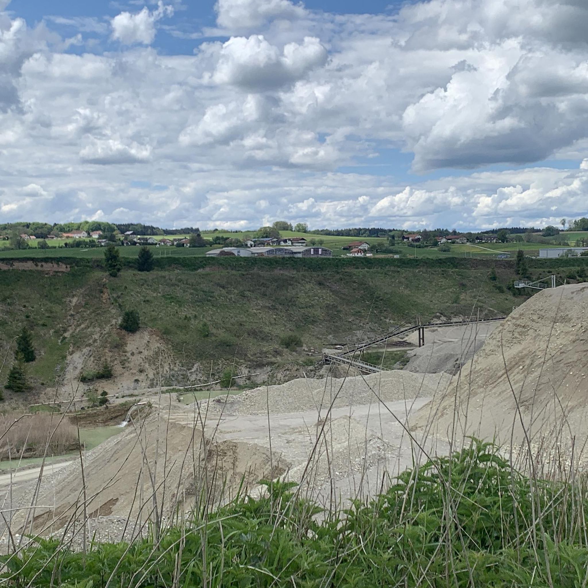
A dead-ice basin is a dry, swampy, or water-filled depression formed by the melting of dead ice. Blocks of ice that break away from the glacier tongue during melting and remain there are called dead ice. Dead-ice basins in which a water-retaining layer has developed, or whose steep slopes sometimes extend below the groundwater level, are water-filled, swampy, or boggy. Their funnel shape allowed rain and meltwater to collect. These small bodies of water have experienced varying degrees of siltation and moor development, even within the same basin. The range of vegetation formations is very broad. It ranges from small reed beds to large sedge marshes, small sedge marshes, quaking grasslands, floating leaf and aquatic vegetation, transitional bogs, and even black alder swamps. Source: https://www.toteiskessel.de/uber-toteiskessel/was-ist-ein-toteiskessel/
0
0

Information about the monument: https://www.wikidata.org/wiki/Q41285180
0
0

Really nice market place where a small farmers market takes place every Friday
1
0

Exciting small lakes or moors with very special vegetation!
1
0

because there are many types of good white beer here
0
0
because it is a beautiful natural pool
0
0
because “honest” organic and best mill products can be purchased here, along with the best advice
2
0
Frequently Asked Questions
How many hiking trails are available around Haag in Oberbayern?
There are over 60 hiking trails in the Haag in Oberbayern region, offering a wide variety of experiences from leisurely walks to more challenging routes through rolling hills and dense forests.
Are there easy hiking trails suitable for beginners in Haag in Oberbayern?
Yes, the region offers many easy trails. Approximately 47 of the routes are classified as easy. A good option for a relaxed walk is the Haag Castle and Beer Garden – Haag Marketplace loop from Haag in Oberbayern, which is about 5.4 km long and explores the town's historic center and nearby green spaces.
What kind of natural features can I expect to see on hikes in Haag in Oberbayern?
Haag in Oberbayern is known for its diverse natural landscape, including rolling hills, dense forests, and unique geological formations. You can explore features like "Toteiskessel" (kettle holes), which are glacial depressions, and distinctive rock formations. The region also features river-related landscapes, particularly within the Inn-Salzach area.
Are there any circular hiking routes in Haag in Oberbayern?
Yes, many of the trails in Haag in Oberbayern are circular, allowing you to start and end at the same point. An example is the Haag Marketplace – Toteiskesselweiher loop from Haag in Oberbayern, which combines town exploration with natural landscapes, including the unique Toteiskessel wetland.
What are some interesting landmarks or attractions to see along the hiking trails?
Hikers can discover several interesting landmarks and natural attractions. You might encounter historic mills, the impressive Haag Castle, or unique natural monuments. For example, the Müllner Bründl Spring and various Kettle holes are notable natural features. The Kesselsee Boathouse is also a popular spot near some routes.
Is Haag in Oberbayern suitable for family-friendly hikes?
Absolutely. The region offers numerous trails suitable for families, especially the easier routes that traverse gentle terrain and forests. Many paths are well-maintained, and the natural features like the Toteiskessel can be an engaging discovery for children. Consider routes that pass by lakes or natural pools for added family fun.
Can I bring my dog on the hiking trails in Haag in Oberbayern?
Most hiking trails in Haag in Oberbayern are dog-friendly, allowing you to enjoy the natural surroundings with your canine companion. It's always advisable to keep dogs on a leash, especially in areas with wildlife or near agricultural land, and to carry water for them. Please respect local signage regarding dog access.
What do other hikers enjoy most about hiking in Haag in Oberbayern?
The hiking experiences in Haag in Oberbayern are highly rated by the komoot community, with an average score of 4.6 stars from over 100 reviews. Hikers often praise the region's diverse landscape, including its rolling hills, tranquil forests, and the unique geological features like the Toteiskessel wetlands. The well-maintained paths and scenic viewpoints, such as those offering views of the Alps, are also frequently highlighted.
Are there any trails with scenic viewpoints in the area?
Yes, several trails offer beautiful scenic viewpoints. The View of the Alps from Kühlsöd – Pilgrimage Church Hochhaus loop from Haag in Oberbayern is a prime example, leading through picturesque landscapes and past a historic church, often providing distant views of the Alps on clear days.
What is the best time of year to go hiking in Haag in Oberbayern?
The region is enjoyable for hiking throughout much of the year. Spring brings blooming nature, while summer offers lush green landscapes. Autumn is particularly beautiful with vibrant fall foliage. Even in winter, some trails are suitable for walking, especially the less challenging routes, offering a serene, snow-dusted experience.
Are there opportunities for public transport or parking near the trailheads?
While specific public transport options vary by trailhead, Haag in Oberbayern is generally accessible. Many routes start near the town center, where parking facilities are usually available. For routes further afield, it's recommended to check local transport schedules or plan for car access to designated parking areas near trailheads.
Most popular routes around Haag in Oberbayern
Most popular attractions around Haag in Oberbayern

Get inspired with the komoot mobile app


Explore more
Browse the best Hikes in other regions.
