The best road cycling routes in Nandayure
4.0
(1)
26
riders
5
rides
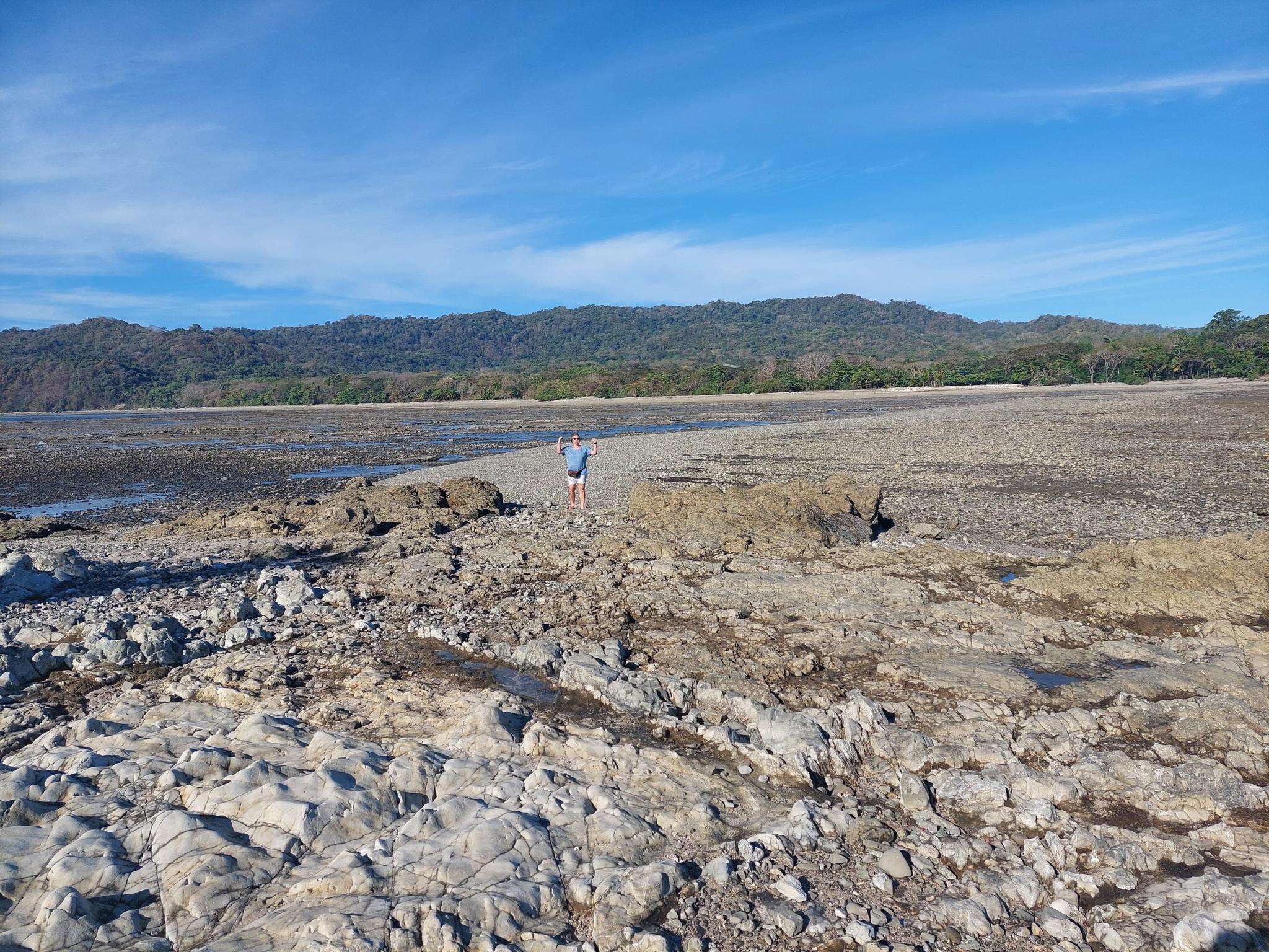
Road cycling in Nandayure features a landscape characterized by rolling hills, significant elevation changes, and views of the surrounding tropical environment. The region offers a mix of challenging climbs and scenic descents, suitable for road cyclists seeking varied terrain. Routes often traverse rural areas, providing a sense of immersion in the local geography. The topography includes numerous hills, with some routes reaching considerable altitudes.
Best road cycling routes in Nandayure
- The most popular road cycling route is Roadbike loop from Hojancha, a 42.0 miles (67.6 km) trail that takes 3 hours 7 minutes to complete. This moderate route features significant elevation gain through varied terrain.
- Another top favourite among local road cyclists is Mirador de Carrillo – vista a Islita loop from Puerto Carrillo, a difficult 38.3 miles (61.6 km) path. This route includes substantial climbing and offers expansive views.
- Local road cyclists also love the Cerro Naranjo loop from La Tigra, a 32.8 miles (52.8 km) trail leading through hilly landscapes, often completed in about 2 hours 26 minutes.
- Road cycling in Nandayure is defined by rolling hills, tropical vegetation, and challenging ascents. The network offers options for both moderate and difficult ability levels.
- The routes in Nandayure are highly rated by the komoot community with an average score of 4.0 stars from 1 review. More than 20 road cyclists have used komoot to explore Nandayure's varied terrain.
Last updated: July 3, 2026
5
riders
67.6km
03:08
800m
800m
Moderate road ride. Good fitness required. Mostly well-paved surfaces and easy to ride.
4.0
(1)
5
riders
61.6km
03:10
990m
990m
Hard road ride. Very good fitness required. Mostly well-paved surfaces and easy to ride.

Sign up for free
8
riders
52.8km
02:26
460m
460m
Moderate road ride. Good fitness required. Mostly well-paved surfaces and easy to ride.
4
riders
99.3km
05:21
1,810m
1,810m
Hard road ride. Very good fitness required. Some segments of this route may be unpaved and difficult to ride.
Our route recommendations are based on thousands of hikes, rides, and runs completed by other people on komoot.
Start today with a free account
Your next adventure awaits.
Login or Signup
Popular around Nandayure

Frequently Asked Questions
What is the general difficulty level for road cycling in Nandayure?
Road cycling in Nandayure is characterized by rolling hills and significant elevation changes. The routes available are primarily moderate to difficult, with 3 moderate routes and 2 difficult routes. There are no easy routes listed, making it suitable for cyclists seeking varied and challenging terrain.
Are there any road cycling routes in Nandayure suitable for beginners?
Given the topography of Nandayure, which features rolling hills and considerable elevation changes, the available road cycling routes are rated as moderate or difficult. There are no routes specifically categorized as easy, so beginners should be prepared for a challenging ride or consider routes with less overall elevation gain, such as the Cerro Naranjo loop from La Tigra, which is rated moderate.
What kind of distances can I expect on road cycling routes in Nandayure?
The road cycling routes in Nandayure offer a range of distances suitable for different endurance levels. For instance, the Cerro Naranjo loop from La Tigra is about 32.8 miles (52.8 km), while the Roadbike loop from Hojancha covers 42.0 miles (67.6 km). The longest route, Pico Verde Real – Mirador de Carrillo loop from La Alianza, extends to 61.7 miles (99.3 km).
Are there any loop trails for road cycling in Nandayure?
Yes, all the featured road cycling routes in Nandayure are loop trails, allowing you to start and finish at the same point. Examples include the Roadbike loop from Hojancha, the Mirador de Carrillo – vista a Islita loop from Puerto Carrillo, and the Cerro Naranjo loop from La Tigra.
What are the most scenic road cycling routes in Nandayure?
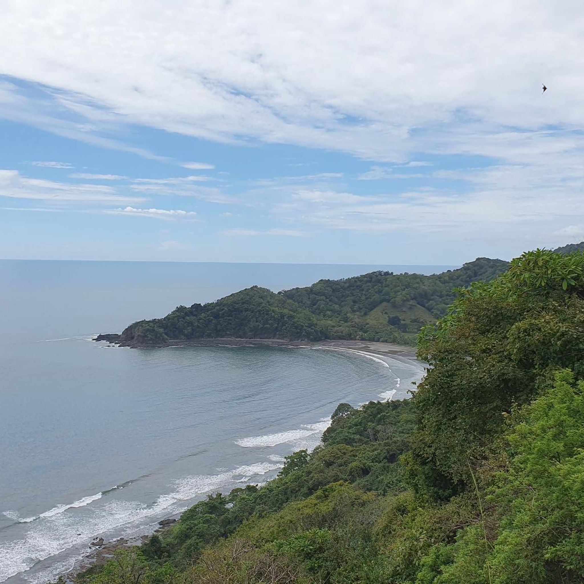
Nandayure's road cycling routes are known for traversing rural areas with views of the surrounding tropical environment. The Mirador de Carrillo – vista a Islita loop from Puerto Carrillo is particularly noted for offering expansive views, while the Roadbike loop from Hojancha provides varied terrain through the tropical landscape.
What is the best time of year to go road cycling in Nandayure?
Nandayure experiences a tropical climate. The dry season, typically from December to April, generally offers more predictable weather with less rain, which can be ideal for road cycling. However, the region's tropical environment means lush scenery year-round. Always check local weather forecasts before heading out.
What kind of terrain and conditions can I expect on Nandayure's road cycling routes?
You can expect a landscape characterized by rolling hills, significant elevation changes, and tropical vegetation. Routes often traverse rural areas, providing a sense of immersion in the local geography. The topography includes numerous hills, with some routes reaching considerable altitudes, ensuring a challenging and varied ride.
Are there any viewpoints along the road cycling routes in Nandayure?
Yes, several routes offer opportunities for scenic views. The Mirador de Carrillo – vista a Islita loop from Puerto Carrillo is specifically highlighted for its expansive views. Additionally, the Pico Verde Real – Mirador de Carrillo loop from La Alianza also passes by Mirador de Carrillo, suggesting more panoramic vistas.
What do other road cyclists enjoy most about road cycling in Nandayure?
The komoot community highly rates the road cycling experience in Nandayure, with an average score of 4.0 stars. Cyclists often praise the challenging ascents, the immersion in the tropical environment, and the varied terrain that defines the region's routes.
How many road cycling routes are available in Nandayure?
There are 5 distinct road cycling routes available in Nandayure, offering a range of moderate to difficult challenges for cyclists.
Are there any particularly challenging road cycling routes for advanced riders?
For advanced riders seeking a significant challenge, Nandayure offers routes with substantial climbing and longer distances. The Pico Verde Real – Mirador de Carrillo loop from La Alianza is a difficult route spanning 61.7 miles (99.3 km) with over 1800 meters of elevation gain. Another difficult option is the Mirador de Carrillo – vista a Islita loop from Puerto Carrillo, which is 38.3 miles (61.6 km) with nearly 1000 meters of climbing.
Is Nandayure suitable for family-friendly road biking?
Due to the prevalence of rolling hills, significant elevation changes, and routes primarily rated as moderate to difficult, Nandayure's road cycling terrain might be challenging for families with young children or those seeking very gentle rides. It is more suited for experienced cyclists or families with older, fit teenagers.

Get inspired with the komoot mobile app


Explore more
Browse the best Road cycling routes in other regions.
