The best MTB trails in San Ramón
5.0
(11)
48
riders
4
rides
Mountain biking in San Ramón offers diverse terrain across its mountainous landscape, where the Central and Tilarán Mountain Ranges meet. The region features significant elevation changes, with the town itself at about 3,460 feet (1,050 meters) above sea level. Riders can navigate through cloud forests, rainforests, and extensive coffee and sugarcane plantations. This topography provides a variety of mountain bike trails suitable for different skill levels.
Best mountain bike trails in San Ramón
- The most popular mountain bike trail is…
Last updated: July 10, 2026
5.0
(8)
25
riders
71.2km
04:31
840m
840m
Moderate mountain bike ride. Good fitness required. Suitable for all skill levels.
5.0
(2)
12
riders
61.7km
03:46
730m
730m
Moderate mountain bike ride. Good fitness required. Suitable for all skill levels.

Sign up for free
5.0
(1)
10
riders
39.0km
03:39
1,080m
1,080m
Hard mountain bike ride. Very good fitness required. Suitable for all skill levels.
1
riders
31.8km
01:48
210m
210m
Easy mountain bike ride. Great for any fitness level. Suitable for all skill levels.
Our route recommendations are based on thousands of hikes, rides, and runs completed by other people on komoot.
Start today with a free account
Your next adventure awaits.
Login or Signup


Tips from the Community

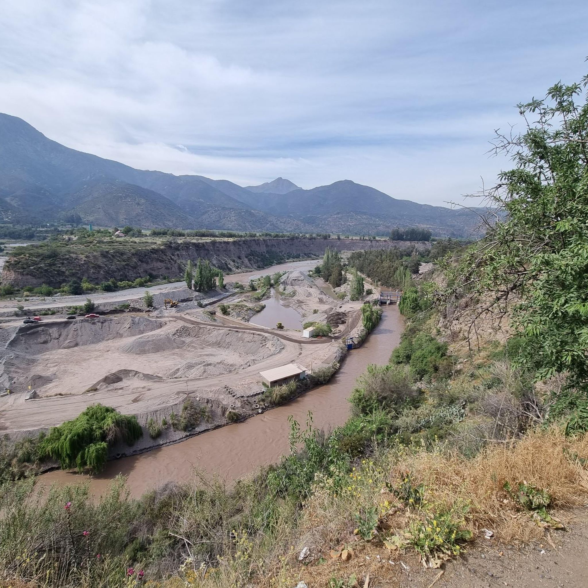
From this point in the park, you can appreciate the large buildings that line the waterfront. Some of them have architectural interest.
0
0

Bring plenty of water as you will need it on the way up
1
0
On Sunday it is very good to go up since they close the streets and turn into cycle paths
0
0
There are well-closed drops, be careful as cars are coming from the opposite direction and generally at high speed
0
0
Frequently Asked Questions
What kind of terrain can I expect on mountain bike trails in San Ramón?
Mountain biking in San Ramón offers a diverse range of terrain. You'll encounter significant elevation changes as the region sits where the Central and Tilarán Mountain Ranges meet. Trails often wind through dense cloud forests and rainforests, as well as extensive coffee and sugarcane plantations, providing a unique blend of natural beauty and agricultural landscapes.
What are the difficulty levels of mountain bike trails in San Ramón?
San Ramón offers mountain bike trails suitable for various skill levels. There are options for easy, moderate, and difficult rides. For instance, the Grecia Front – Lo Curro loop from Estadio Nacional is an easy trail, while the Friendly Route – Cajón del Maipo loop from Protectora de la Infancia is considered moderate. For a more challenging experience, the Old El Panul Bridge – Bosque Panul loop from Quilín is a difficult path featuring demanding climbs and descents.
Are there scenic viewpoints along the mountain bike trails in San Ramón?
Yes, San Ramón's mountainous terrain provides numerous opportunities for stunning panoramic views. From various points, including the Continental Divide and Cerro Azahar, you can often see distant volcanoes like Poás and Arenal, the Gulf of Nicoya, and even the Pacific Ocean. Many trails wind through areas that offer these picturesque vistas.
Can I see waterfalls while mountain biking in San Ramón?
The San Ramón area is known for its beautiful natural features, including turquoise waterfalls and rivers, particularly around Los Bajos del Toro. While specific mountain bike trails may not lead directly to all waterfalls, many routes traverse the same rich, biodiverse landscapes where these natural wonders are found, making it possible to combine your ride with a visit to a nearby waterfall.
Are there loop mountain bike trails in San Ramón?
Yes, many mountain bike trails in San Ramón are designed as loops, allowing you to start and end at the same point. Examples include the Friendly Route – Cajón del Maipo loop from Protectora de la Infancia, the Old El Panul Bridge – Bosque Panul loop from Quilín, and the Grecia Front – Lo Curro loop from Estadio Nacional.
What is the best time of year to go mountain biking in San Ramón?
San Ramón experiences moderate temperatures year-round due to its altitude of about 1,050 meters (3,460 feet). The dry season, typically from December to April, offers the most favorable conditions with less rain and clearer skies, making trails less muddy and views more expansive. However, the rainy season (May to November) brings lush greenery, and while trails can be wetter, the cloud forests are particularly atmospheric.
Is public transport available to reach mountain bike trails in San Ramón?
San Ramón is a well-connected town, and local buses serve various surrounding areas. While direct public transport to every trailhead might not be available, you can often take a bus to a nearby village or main road and then cycle a short distance to access the trails. It's advisable to check local bus schedules and routes in advance for specific trail access points.
Is there parking available near the mountain bike trails in San Ramón?
Parking availability varies depending on the specific trailhead. In and around San Ramón, you can often find parking in town centers or designated areas near popular outdoor activity starting points. For more remote trails, roadside parking might be an option, but it's always recommended to research specific trailheads for the best and safest parking solutions.
Are the mountain bike trails in San Ramón family-friendly?
San Ramón offers a range of trails, including some that are suitable for families. Easy-rated trails, such as the Grecia Front – Lo Curro loop from Estadio Nacional, are generally more accessible for families with varying skill levels. These trails often feature less challenging terrain and elevation, allowing for a more relaxed and enjoyable experience for all.
What do other mountain bikers enjoy the most about mountain biking in San Ramón?
The mountain biking community highly rates the trails in San Ramón, with an average score of 5.0 stars from 3 reviews on komoot. Riders often praise the diverse terrain, the stunning panoramic views of volcanoes and the Pacific Ocean, and the unique experience of cycling through lush cloud forests and vibrant coffee and sugarcane plantations. The variety of difficulty levels also means there's something for everyone.
What kind of elevation gain can I expect on San Ramón mountain bike trails?
Given San Ramón's mountainous location, you can expect significant elevation changes on its mountain bike trails. For example, the moderate Friendly Route – Cajón del Maipo loop from Protectora de la Infancia involves an elevation gain of over 730 meters, while the difficult Old El Panul Bridge – Bosque Panul loop from Quilín climbs over 1080 meters. Even easier routes will typically have some undulating terrain.
Are there opportunities to bike through agricultural plantations in San Ramón?
Absolutely. The surrounding hills of San Ramón are extensively covered with coffee and sugarcane plantations. Many mountain biking trails wind directly through these scenic agricultural landscapes, offering a unique cultural and visual experience alongside your ride. It's a great way to immerse yourself in the local economy and enjoy the picturesque scenery.

Get inspired with the komoot mobile app


Explore more
Browse the best MTB trails in other regions.
