The best road cycling routes in Lago Ranco
4.3
(3)
283
riders
4
rides
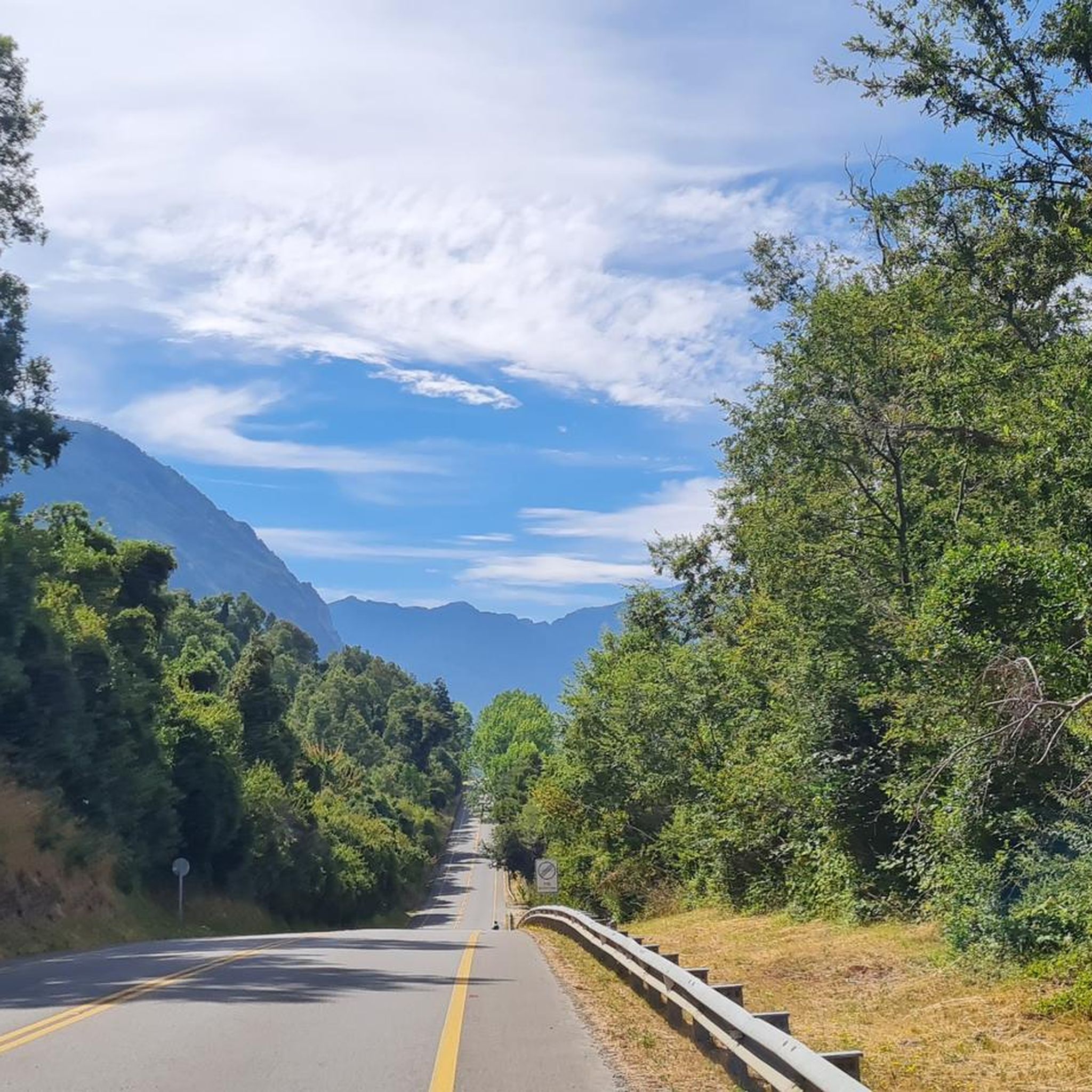
Road cycling routes in Lago Ranco traverse a landscape defined by the expansive Lago Ranco, surrounded by native forests, mountains, and volcanic formations. The region offers varied terrain, from lakeside paths to routes with significant elevation gains. Paved roads provide access to diverse ecosystems, including sections of the Valdivian rainforest. This area is known for its challenging altimetry and continuous views of the lake and its islands.
Best road cycling routes in Lago Ranco
- The most popular road cycling route…
Last updated: July 9, 2026
4.3
(3)
247
riders
114km
05:19
1,320m
1,320m
Hard road ride. Very good fitness required. Some segments of this route may be unpaved and difficult to ride.
14
riders
Moderate road ride. Good fitness required. Some segments of this route may be unpaved and difficult to ride.

Sign up for free
12
riders
16.7km
00:42
130m
130m
Easy road ride. Great for any fitness level. Mostly well-paved surfaces and easy to ride.
6
riders
36.4km
01:33
300m
300m
Easy road ride. Great for any fitness level. Mostly well-paved surfaces and easy to ride.
4
riders
48.6km
02:06
440m
440m
Moderate road ride. Good fitness required. Mostly well-paved surfaces and easy to ride.
Our route recommendations are based on thousands of hikes, rides, and runs completed by other people on komoot.
Start today with a free account
Your next adventure awaits.
Login or Signup
Popular around Lago Ranco
Tips from the Community

Pretty good supply point in the middle of the route. for one side
0
0
Frequently Asked Questions
What kind of terrain can I expect on road cycling routes in Lago Ranco?
Road cycling routes in Lago Ranco offer a diverse terrain. You'll find excellent, often paved roads that are described as a 'real carpet' for cycling. Expect challenging altimetry with significant elevation gains, especially on longer routes. The landscape transitions from open fields to dense Valdivian rainforest, providing both fast, flat sections and demanding climbs.
Are there challenging road cycling routes in Lago Ranco?
Yes, Lago Ranco is known for its challenging road cycling. Routes often feature demanding altimetry, with some covering over 1,400 meters of positive elevation gain. For instance, the Lago Ranco Crossing loop from Parada de buses Cruce Coique is a difficult 70.5-mile (113.5 km) route with over 4,300 feet (1,300 meters) of elevation gain.
Are there any easier or family-friendly road cycling options in Lago Ranco?
While many routes are challenging, there are options for easier rides. The Playa San Pedro loop from Puerto Futrono is an easy 10.4-mile (16.7 km) trail that leads through lakeside areas, often completed in about 42 minutes, making it suitable for a more relaxed experience.
What natural features and landmarks can I see while road cycling around Lago Ranco?
Road cycling routes in Lago Ranco offer continuous views of the lake, its islands, and the dramatic backdrop of volcanoes like Carrán, Puyehue, and Caulle. You'll pass through lush native forests, including sections of the ancient Valdivian rainforest. Notable attractions in the wider region include Parque Futangue, the unique Piedra Mesa rock formation, and various picturesque beaches like Playa Huequecura and Coique Beach.
What is the best time of year to go road cycling in Lago Ranco?
The region's climate is generally favorable for outdoor activities. While specific seasonal conditions for cycling aren't detailed, the area hosts events like the 'Grand Prix Lago Ranco,' suggesting good conditions during race seasons. Given the natural beauty, spring and summer months (roughly October to March in the Southern Hemisphere) would likely offer the most pleasant weather for exploring the lake and forests.
Are there circular road cycling routes available in Lago Ranco?
Yes, many of the road cycling routes in Lago Ranco are designed as loops, allowing you to start and end in the same location. For example, the Lago Ranco Crossing loop from Parada de buses Cruce Coique and the Borde Fluvial Puerto Lapi – Playa San Pedro loop from Camping Bahía Coique are both popular circular routes.
How many road cycling routes are there in Lago Ranco?
There are several road cycling routes in Lago Ranco. Our guide features 5 distinct routes, ranging in difficulty from easy to difficult, offering a variety of experiences around the lake and through its diverse landscapes.
What do other road cyclists enjoy most about road cycling in Lago Ranco?
The road cycling experience in Lago Ranco is highly rated by the komoot community, with an average score of 4.0 stars. Cyclists often praise the stunning lake views, the continuous volcanic backdrops, and the opportunity to ride through native forests, including the Valdivian rainforest. The well-paved roads and challenging altimetry are also frequently highlighted.
Are there any routes that combine riverside and lakeside scenery?
Yes, some routes offer a beautiful mix of riverside and lakeside scenery. The Borde Fluvial Puerto Lapi – Playa San Pedro loop from Camping Bahía Coique is a moderate 27.1-mile (43.6 km) path that provides this combination, with moderate climbs.
Is there parking available for road cyclists in Lago Ranco?
While specific parking locations are not detailed, many routes start from accessible points such as 'Parada de buses Cruce Coique' or 'Camping Bahía Coique,' suggesting that parking or starting points with amenities are generally available in the towns and villages around Lago Ranco.
Can I access road cycling routes in Lago Ranco using public transport?
Some routes are designed to be accessible via public transport. For example, the challenging Lago Ranco Crossing loop starts from 'Parada de buses Cruce Coique,' indicating that public transport options are available to reach certain starting points.
What kind of views can I expect on the road cycling routes?
The routes around Lago Ranco offer continuous and breathtaking views. You'll enjoy panoramic vistas of the expansive lake, its numerous islands, and the majestic volcanoes that ring the basin. The scenery frequently changes, moving from open fields to dense, lush native forests.

Get inspired with the komoot mobile app


Didn’t find what you were looking for?
Check out more Road cycling routes throughout Lago Ranco below and find the perfect route in your destination.
Explore more
Browse the best Road cycling routes in other regions.
