The best running trails in Osorno
5.0
(1)
23
runners
5
runs
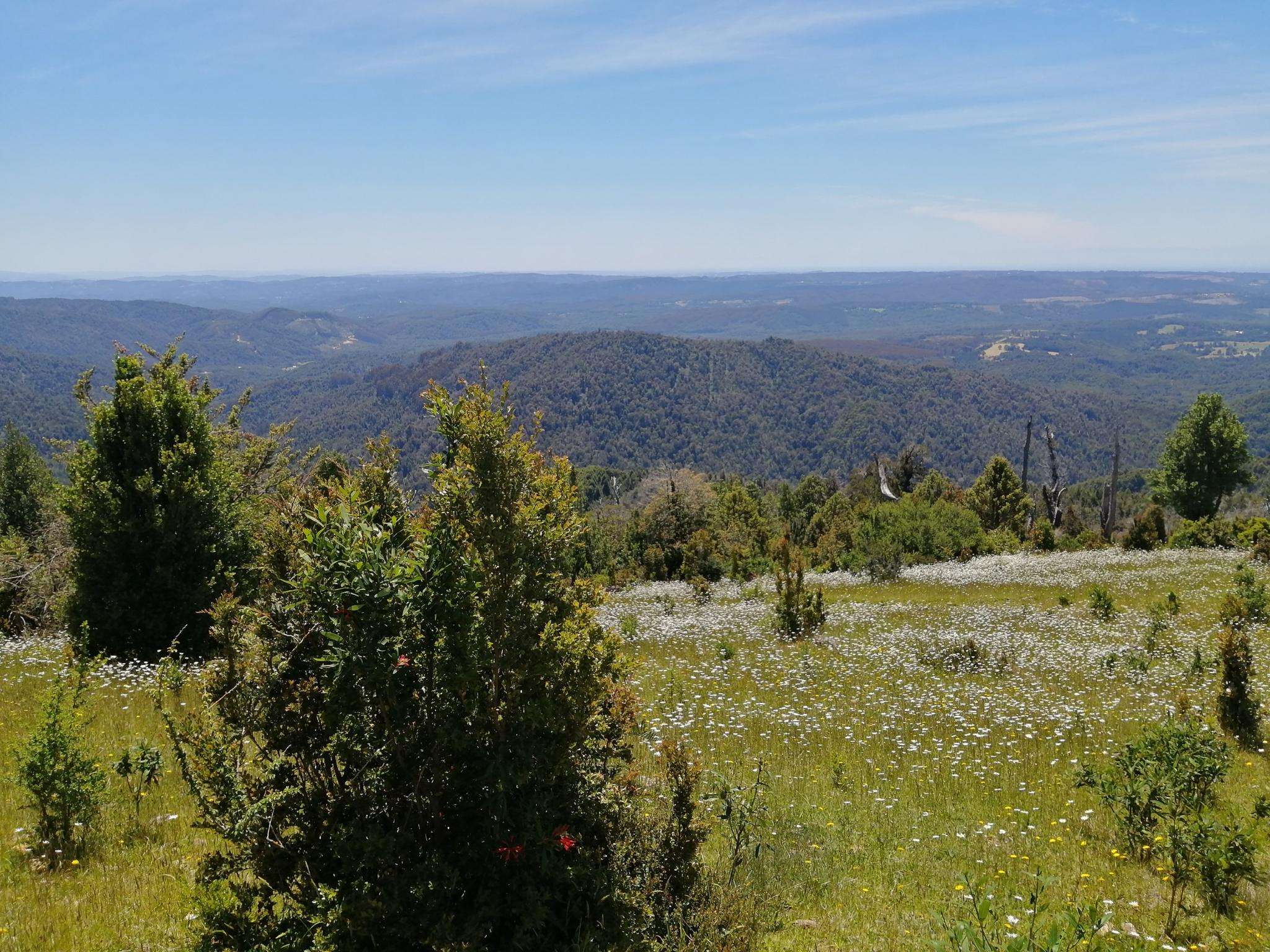
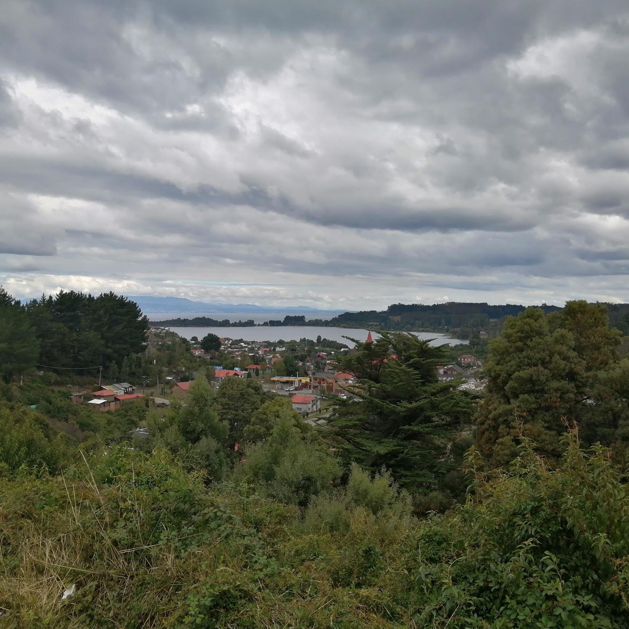
Jogging in Osorno offers a diverse landscape for runners, characterized by its position on the Rahue River and proximity to the Damas River. The city features urban green spaces like Parque Cuarto Centenario, providing accessible paths for running. Beyond the city, the region is defined by its volcanic backdrop, including the Osorno Volcano, and numerous lakes such as Lago Puyehue, which contribute to a varied terrain for outdoor activities. These natural features create a range of running environments, from riverside paths to routes with distant views of the surrounding geography.
Best jogging routes in Osorno
- The most popular jogging route is Running loop from Osorno, a 6.1 miles (9.9 km) trail that takes 1 hour 1 minute to complete. This route offers a moderate urban running experience.
- Another top favourite among local runners is Running loop from Universidad de Los Lagos, a moderate 4.3 miles (7.0 km) path. This route provides a pleasant run through areas near the university, often featuring green surroundings.
- Local runners also love the Running loop from Osorno, a 3.7 miles (5.9 km) trail leading through urban green spaces and along city streets, often completed in about 37 minutes.
- Jogging in Osorno is defined by its urban green spaces, riverbanks along the Rahue and Damas rivers, and the broader landscape influenced by volcanoes and lakes. The network offers options for different ability levels, with all listed routes being of moderate difficulty.
- The routes in Osorno are highly rated by the komoot community with an average score of 5.0 stars from more than 1 review. More than 20 runners have used komoot to explore Osorno's varied terrain.
Last updated: July 9, 2026
7
runners
9.83km
01:01
50m
50m
Moderate run. Good fitness required. Mostly paved surfaces. Suitable for all skill levels.
6
runners
6.97km
00:44
30m
30m
Moderate run. Good fitness required. Mostly paved surfaces. Suitable for all skill levels.

Sign up for free
5.0
(1)
4
runners
5.89km
00:37
30m
30m
Moderate run. Good fitness required. Mostly paved surfaces. Suitable for all skill levels.
4
runners
8.54km
00:54
40m
40m
Moderate run. Good fitness required. Mostly paved surfaces. Suitable for all skill levels.
2
runners
6.94km
00:43
40m
40m
Moderate run. Good fitness required. Mostly paved surfaces. Suitable for all skill levels.
Our route recommendations are based on thousands of hikes, rides, and runs completed by other people on komoot.
Start today with a free account
Your next adventure awaits.
Login or Signup
Popular around Osorno
Frequently Asked Questions
What types of running routes can I find in Osorno?
Osorno offers a variety of running environments, primarily focusing on urban green spaces and scenic riverbanks. You'll find paths along the Rahue River and Damas River, as well as routes through city parks. The broader region also provides opportunities for more challenging trail running with views of volcanoes and lakes, though the routes listed in this guide are urban and moderate.
Are there any family-friendly running paths in Osorno?
Yes, Osorno's urban green spaces are generally suitable for families. Parque Cuarto Centenario, with its expansive lawns and pedestrian paths, is an excellent choice for a relaxed family jog. The routes listed in this guide, such as the Running loop from Canal Bajo Carlos Hott Siebert Aerodrome, are of moderate difficulty and can be enjoyed by active families.
Can I bring my dog on the running trails in Osorno?
Many urban parks and riverbank paths in Osorno are dog-friendly, provided your pet is on a leash. Parque Cuarto Centenario is a popular spot for locals with dogs. Always ensure you clean up after your pet to maintain the cleanliness of these public spaces.
What landmarks or points of interest can I see while running in Osorno?
Within the city, you can enjoy views of the Rahue River and Damas River. Parque Cuarto Centenario itself is a landmark, featuring the Chuyaca Pleistocene Park with prehistoric fauna sculptures. The city's Plaza de Armas also offers a pleasant, green urban setting for a light jog. From some routes, you might catch distant glimpses of the majestic Osorno Volcano.
Are there any circular running routes available in Osorno?
Yes, all the routes featured in this guide are circular, allowing you to start and finish at the same point. For example, the Fuerte Reina Luisa loop from Villa el Mirador is a moderate 6.9 km (4.3 miles) circular route, perfect for a continuous run without backtracking.
What is the best time of year for jogging in Osorno?
Osorno experiences a temperate climate. The warmer months, typically from spring (October-November) through summer (December-February), offer the most pleasant conditions for running, with milder temperatures and less rainfall. However, the city's urban paths are generally accessible year-round, though winter (June-August) can bring cooler temperatures and more rain.
How many running routes are available in Osorno on komoot?
Komoot features 5 dedicated jogging routes in Osorno, all of which are classified as moderate difficulty. These routes offer a good starting point for exploring the city's running potential.
What do other runners say about jogging in Osorno?
The running routes in Osorno are highly regarded by the komoot community, with an average rating of 5.0 stars. Runners often appreciate the accessibility of urban green spaces and the scenic river views that many paths offer.
Are there any longer or more challenging running trails near Osorno?
While the routes in this guide are moderate urban loops, the region surrounding Osorno offers more challenging trail running opportunities. Areas around the Osorno Volcano and within Puyehue National Park provide trails with significant elevation changes and rugged terrain for those seeking a more demanding experience. For example, the Sendero Paso Desolación in Vicente Pérez Rosales National Park is a 24 km trail along the slopes of Osorno Volcano.
Is public transport available to access running trails in Osorno?
Many of Osorno's urban running routes, such as those starting from the city center or near the university, are easily accessible via local public transport. The city's bus network can take you close to various starting points, including areas near Parque Cuarto Centenario or the Universidad de Los Lagos.
Are there places to park near Osorno's running routes?
For urban routes, street parking is often available, particularly near parks like Parque Cuarto Centenario or residential areas. For routes starting from specific points like the Running loop from Canal Bajo Carlos Hott Siebert Aerodrome, you may find designated parking areas, though it's always good to check local signage.
Can I find cafes or amenities near the running paths in Osorno?
Given that many of Osorno's running routes are urban or semi-urban, you'll often find cafes, shops, and other amenities within a short distance of the paths, especially near the city center or residential areas. This makes it convenient to grab a coffee or refreshment before or after your run.
Most popular routes in Osorno

Get inspired with the komoot mobile app


Explore more
Browse the best Running Trails & Routes in other regions.
