The best cycling routes around Gutsbezirk Spessart
4.5
(7175)
25,980
riders
1,012
rides
Touring cycling around Gutsbezirk Spessart offers a diverse landscape characterized by extensive, ancient forests and varied topography. The region features both flat river valleys, such as those along the Main, Kinzig, and Sinn rivers, and challenging hilly roads. This unincorporated forest district in southeast Hesse, Germany, provides a tranquil environment with elevations reaching up to 521 meters above sea level. Its well-marked network of cycling trails caters to a range of skill levels, from gentle rides to more demanding climbs.
…Last updated: August 24, 2026
4.7
(178)
627
riders
Easy bike ride. Great for any fitness level. Mostly paved surfaces. Suitable for all skill levels.
4.7
(37)
129
riders
44.5km
02:45
360m
360m
Moderate bike ride. Good fitness required. Mostly paved surfaces. Suitable for all skill levels.

Sign up for free
4.8
(29)
100
riders
51.6km
03:20
420m
420m
Moderate bike ride. Good fitness required. Mostly paved surfaces. Suitable for all skill levels.
4.7
(36)
140
riders
Easy bike ride. Great for any fitness level. Mostly paved surfaces. Suitable for all skill levels.
4.7
(32)
139
riders
27.8km
01:44
150m
150m
Moderate bike ride. Good fitness required. Mostly paved surfaces. Suitable for all skill levels.
Get access to more routes and recommendations from other explorers.
Sign up for free
Already have an account?
Our route recommendations are based on thousands of hikes, rides, and runs completed by other people on komoot.
Start today with a free account
Your next adventure awaits.
Login or Signup
Popular around Gutsbezirk Spessart
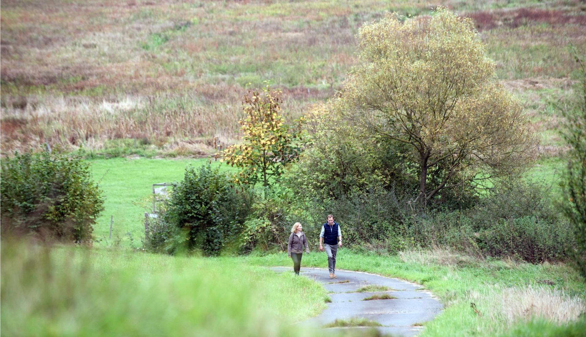
Pleasure hiking in the Spessart: trails that taste as good as they look
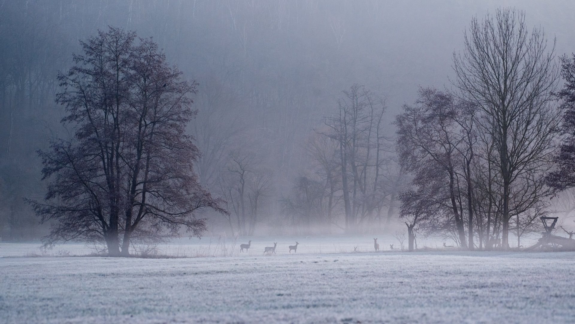
Die schönsten Winterwanderungen im Spessart
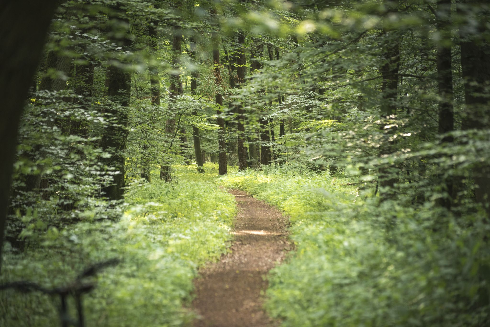
Die schönsten Premium-Spazierwanderwege im Hessischen Spessart
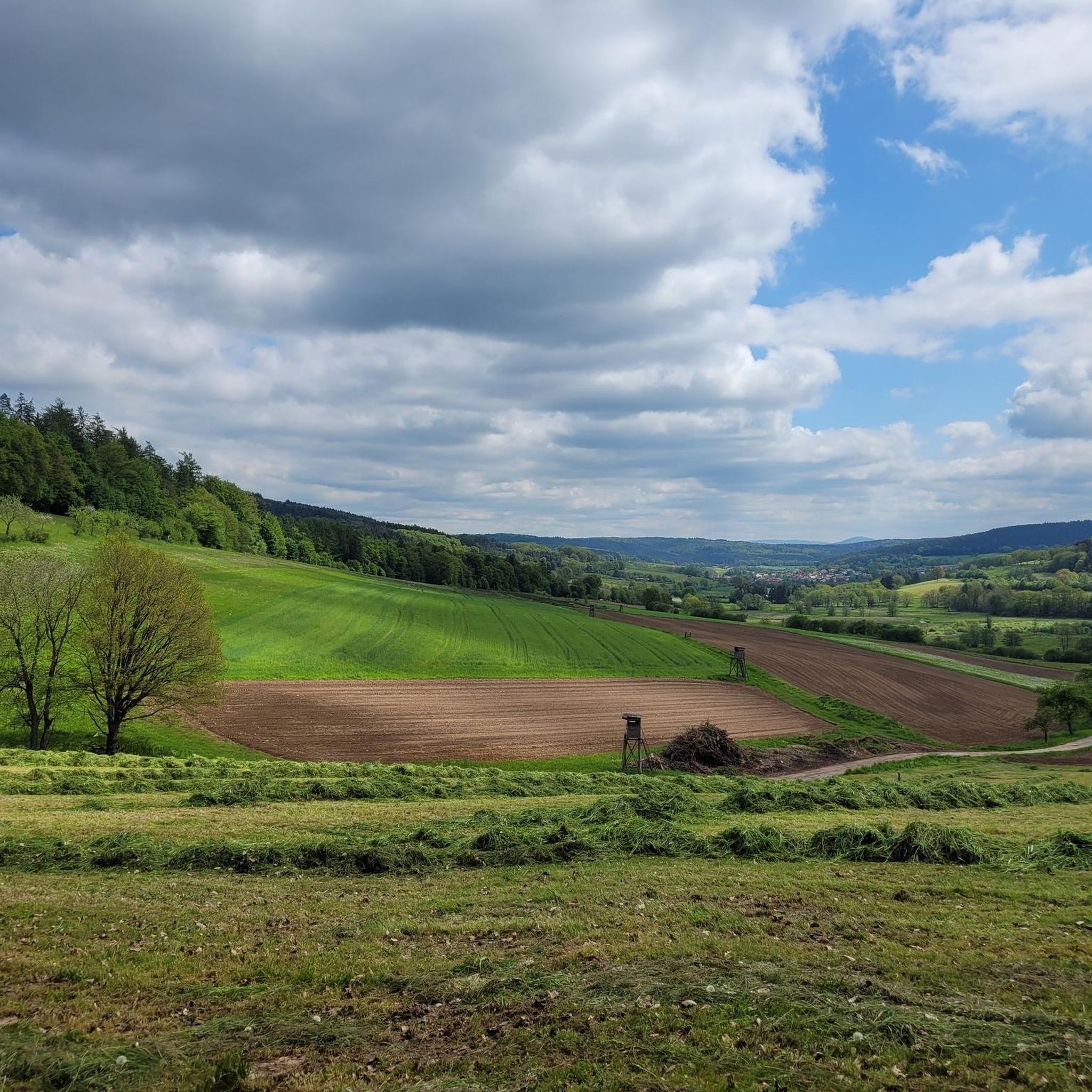
Hiking around Gutsbezirk Spessart
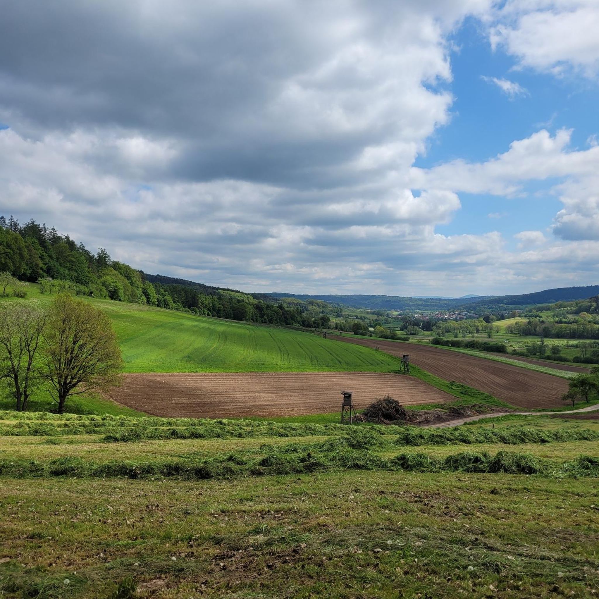
MTB Trails around Gutsbezirk Spessart
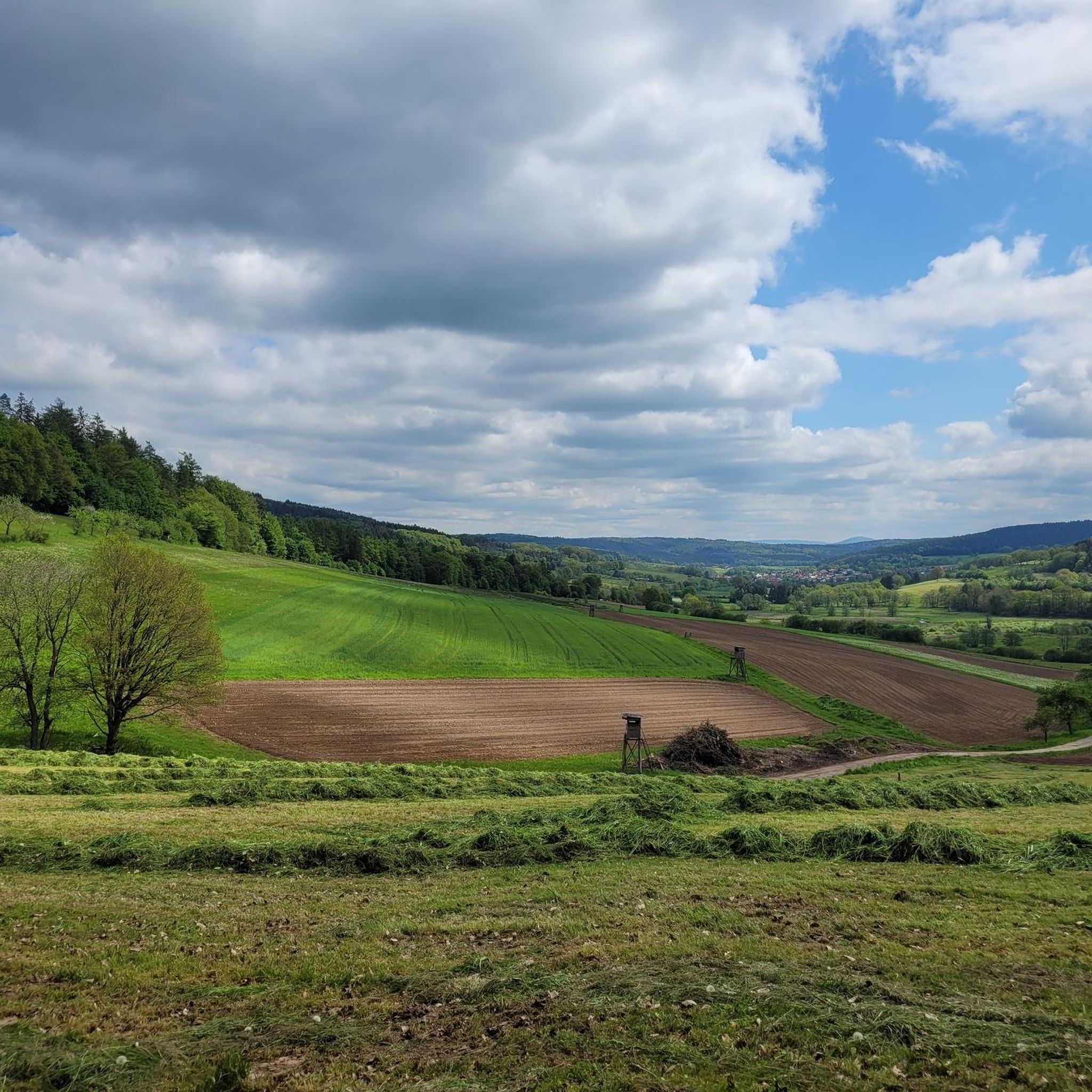
Road Cycling Routes around Gutsbezirk Spessart
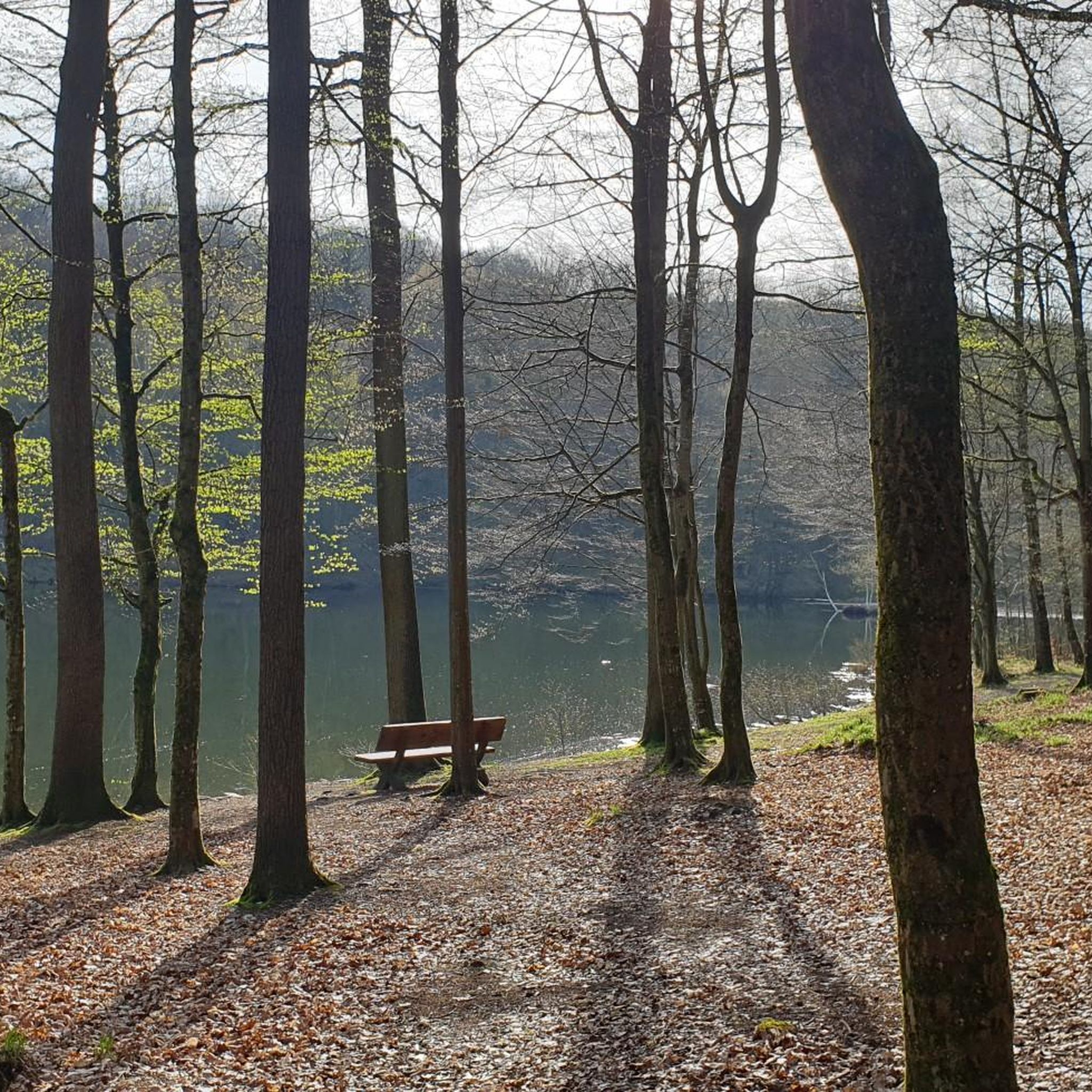
Running Trails around Gutsbezirk Spessart
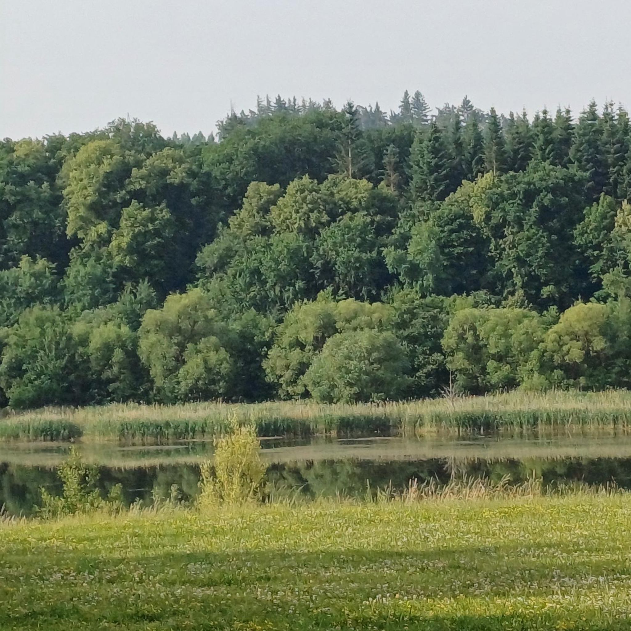
Gravel biking around Gutsbezirk Spessart
Other adventures around Gutsbezirk Spessart

Tips from the Community

Today's useRecreation: The area around the body of water serves as a popular recreational spot with an approximately seven-kilometer circular path for cyclists and walkers. Ardea's Lake World: A special educational and experiential trail with 16 stations playfully informs visitors about local nature, bird protection, and dam technology.
1
0
Purpose and Function Flood protection: It is considered one of the most important protective measures against floods caused by the Kinzig river, which are triggered, among other things, by inflows from the Vogelsberg region. Energy generation: A small turbine system for electricity generation is directly integrated into the dam. Low water regulation: In dry periods, the reservoir helps to keep the water level of the Kinzig river stable.
1
0
Construction and costsConstruction period: Work on the dam began in 1976 and was completed in 1982 (dam construction and initial impoundment took place from 1976–1979). Construction costs: The construction of the lake and the dam cost around 70 million German Marks at the time. Technical data: The dam is 14 meters high. The basin has a maximum extent of up to 125 hectares and a capacity of approximately 7.2 million cubic meters of water.
1
0
The Kinzig reservoir (Kinzigtalsperre) was built between 1976 and 1982 and primarily serves flood protection, low water augmentation, and power generation. The approximately 70-hectare retention basin in Hesse is located between Bad Soden-Salmünster and Steinau an der Straße (district Ahl) and is operated by the Kinzig Water Association.
1
0

Beautiful small pond in Burgjoß.
0
0

The great paved path on the south side of the Kinzig reservoir offers occasional fantastic views of the lake.
2
0
The dam was built between 1976 and 1979 to protect against flooding.
2
0
Well done.
1
0
Frequently Asked Questions
What kind of terrain can I expect when touring cycling in Gutsbezirk Spessart?
Gutsbezirk Spessart offers a diverse landscape for touring cyclists. You'll find both flat sections, particularly along river valleys like the Main, Kinzig, and Sinn, and more challenging hilly roads. The region is characterized by extensive, ancient forests and rolling hills, with elevations reaching up to 521 meters above sea level. This variety ensures routes suitable for different skill levels.
Are there any easy touring cycling routes suitable for beginners or families?
Yes, Gutsbezirk Spessart has routes suitable for beginners and families. While specific 'easy' routes aren't highlighted by name in the top selections, the region's varied topography includes gentle sections along river valleys. For example, the Main Cycle Path offers picturesque riverside landscapes that are generally less strenuous. Overall, there are over 150 easy touring cycling routes in the area, providing plenty of options for a relaxed ride.
What are some challenging routes for experienced touring cyclists?
Experienced touring cyclists looking for a challenge can explore routes with significant climbs. The region's 'Hohe Straße' and Kahlgrund climb are known for their demanding ascents and spectacular views. A particularly challenging route is the Jossa Railway Viaduct – View of Rieneck Castle loop from Oberndorf, which covers 56.3 miles (90.7 km) with over 650 meters of elevation gain, often taking nearly 6 hours to complete.
What natural features or attractions can I see along the touring cycling routes?
The region is rich in natural beauty and historical sites. You can cycle through magnificent wooded landscapes, past idyllic brook and river valleys, and alongside the Main, Kinzig, and Sinn rivers. Notable attractions include the Kinzig Reservoir, the Kinzig Floodplains, and the Bad Orb Graduation House. The region also features numerous castles and ruins, such as Mespelbrunn Castle, which can be scenic break points.
Are there any circular touring cycling routes in Gutsbezirk Spessart?
Yes, many touring cycling routes in Gutsbezirk Spessart are designed as loops, offering convenient starting and ending points. Examples include the popular View of Mernes – View of Stacken loop from Oberndorf (44.6 km) and the View of Mernes – Jossa Railway Viaduct loop from Oberndorf (51.7 km). These circular routes allow you to experience diverse scenery without retracing your path.
What is the best time of year for touring cycling in Gutsbezirk Spessart?
Spring and autumn are generally considered the best seasons for touring cycling in Gutsbezirk Spessart. The weather is pleasantly mild, and the natural scenery, with blossoming trees or vibrant autumn foliage, is particularly beautiful. While summer is also an option, early starts are recommended due to potentially hot temperatures.
Are there specific routes that offer great viewpoints?
Many routes in Gutsbezirk Spessart provide excellent viewpoints, especially those that traverse the region's rolling hills. The 'Hohe Straße' and Kahlgrund climb, while challenging, are particularly noted for their spectacular views. The extensive forest cover also opens up to clearings and vistas of the surrounding landscape.
Can I access touring cycling routes in Gutsbezirk Spessart using public transport?
Gutsbezirk Spessart is situated in the heart of Germany, and its cycling network is well-integrated. While specific public transport connections for each trail vary, the region's proximity to major towns and cities like Aschaffenburg and Würzburg suggests that public transport options, including regional trains that often accommodate bicycles, are available to reach starting points for many routes. It's advisable to check local transport schedules for specific routes and bicycle carriage policies.
What do other touring cyclists say about the routes in Gutsbezirk Spessart?
The touring cycling routes in Gutsbezirk Spessart are highly rated by the komoot community, with an average score of 4.6 stars from over 5,900 reviews. Reviewers often praise the region's extensive forests, varied terrain, and well-marked trails that cater to various ability levels. Over 24,000 touring cyclists have used komoot to explore the area, highlighting its popularity.
Are there any specific long-distance touring cycling routes that pass through Gutsbezirk Spessart?
Yes, sections of well-known long-distance cycling paths traverse or border Gutsbezirk Spessart. The Main Cycle Path offers beautiful riverside landscapes, and the Hessian Cycle Path R3 (Rhein-Main-Kinzig-Radweg) runs along the Kinzig River, leading towards the Rhön. These paths provide opportunities for longer touring adventures through the region.
Where can I find parking near the touring cycling trails?
Given the popularity of cycling in Gutsbezirk Spessart, parking facilities are typically available near trailheads and popular starting points, especially in or around the villages and towns that serve as access points to the cycling network. For specific routes, checking the route details on komoot or local tourist information will often provide information on designated parking areas.
Are there any specific permits required for touring cycling in Gutsbezirk Spessart?
Generally, no specific permits are required for touring cycling on public trails and roads within Gutsbezirk Spessart. The region boasts a well-developed and accessible network of cycling trails. However, always respect local regulations, especially when cycling through nature reserves or private land, and stay on marked paths.
Can I combine touring cycling with other activities, like visiting caves, in the area?
Absolutely! Gutsbezirk Spessart offers opportunities to combine cycling with exploring other attractions. For instance, you could plan a route that includes a visit to the Teufelshöhle Steinau (Devil's Cave) or the Marian Grotto. The region's diverse landscape and numerous highlights make it easy to integrate cultural or natural stops into your cycling tour.
Most popular routes around Gutsbezirk Spessart
Most popular attractions around Gutsbezirk Spessart

Get inspired with the komoot mobile app


Explore more
Browse the best Cycling routes in other regions.
