The best walks and hikes in Villarrica
4.6
(64)
415
hikers
5
hikes
Hiking in Villarrica offers diverse terrain, characterized by dramatic volcanic landscapes, ancient araucaria forests, and numerous lakes. The region is dominated by stratovolcanoes like Villarrica, Quetrupillán, and Lanín, providing significant elevation changes. Trails often traverse through dense native woodlands, transition to high-altitude pastures, and feature views of glaciers and volcanic formations. This area provides a range of hiking experiences within Villarrica National Park.
Best hiking trails in Villarrica
- The most popular hiking route is Subida al Volcán Villarrica — Ida…
Last updated: July 9, 2026
5.0
(15)
169
hikers
9.23km
05:28
1,390m
1,390m
Hard hike. Very good fitness required. Easily-accessible paths. Suitable for all skill levels.
4.8
(18)
99
hikers
6.26km
01:58
270m
270m
Easy hike. Great for any fitness level. Easily-accessible paths. Suitable for all skill levels.

Sign up for free
5.0
(2)
21
hikers
10.0km
04:14
870m
870m
Moderate hike. Good fitness required. Easily-accessible paths. Suitable for all skill levels.
4.3
(3)
4
hikers
5.87km
01:49
230m
230m
Easy hike. Great for any fitness level. Easily-accessible paths. Suitable for all skill levels.
4.0
(26)
123
hikers
15.5km
04:23
320m
320m
Moderate hike. Good fitness required. Easily-accessible paths. Suitable for all skill levels.
Our route recommendations are based on thousands of hikes, rides, and runs completed by other people on komoot.
Start today with a free account
Your next adventure awaits.
Login or Signup
Other adventures in Villarrica

Tips from the Community

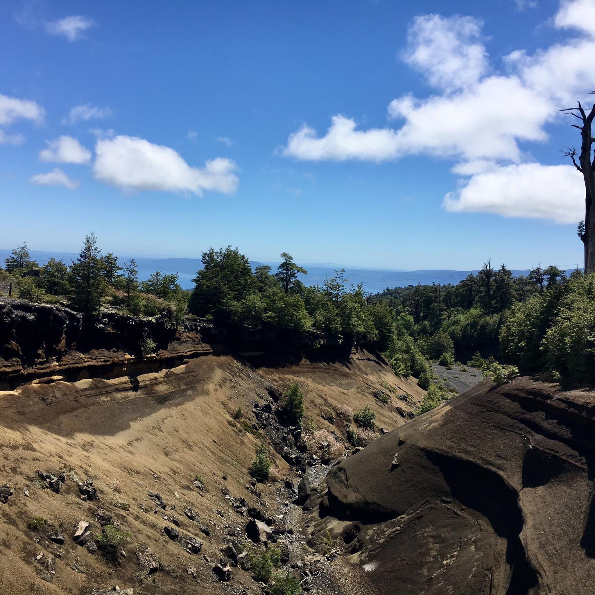
The Los Cráteres viewpoint offers a direct view of a row of parasitic craters, between 5 and 10 meters in diameter, where lava flowed in both directions, leaving folds and hollows that are now interspersed with invasive vegetation. Some craters are heavily eroded, while others retain clear shapes, creating a striking geological landscape. It is essential to obtain tickets from pasesparques.cl before arriving, as the area is not always well-connected.
1
0
The Fillkungüe Lookout features a wooden platform offering panoramic views of the Zanjón Seco and Correntoso Valleys, as well as Lakes Caburgua and Huilipilún. From here, you can also see the Llaima Volcano and the Sollipulli snow-capped peaks, creating a sweeping and highly photogenic landscape. It's the perfect spot for a relaxing break; bring a light jacket as it can be a bit windy.
0
0
The view of the Villarrica volcano allows you to appreciate its perfectly symmetrical cone and, on clear days, the contrast between the snow-capped summit and the surrounding forests. It's a very photogenic spot and easy to spot along the route. It's advisable to bring sun protection and a light jacket, as the weather can change quickly in this area.
0
0

Throughout the entire trail, the views of the Villarrica volcano will never cease to impress you, with its snowy peak and mineral surroundings.
0
0
Around the Villarrica volcano, we can observe this type of terrain shaped by lava from ancient eruptions.
0
0
From here you have unbeatable views of the Voipir Glacier and the summit of the Villarrica volcano. The path is tough, but it's definitely worth it.
0
0
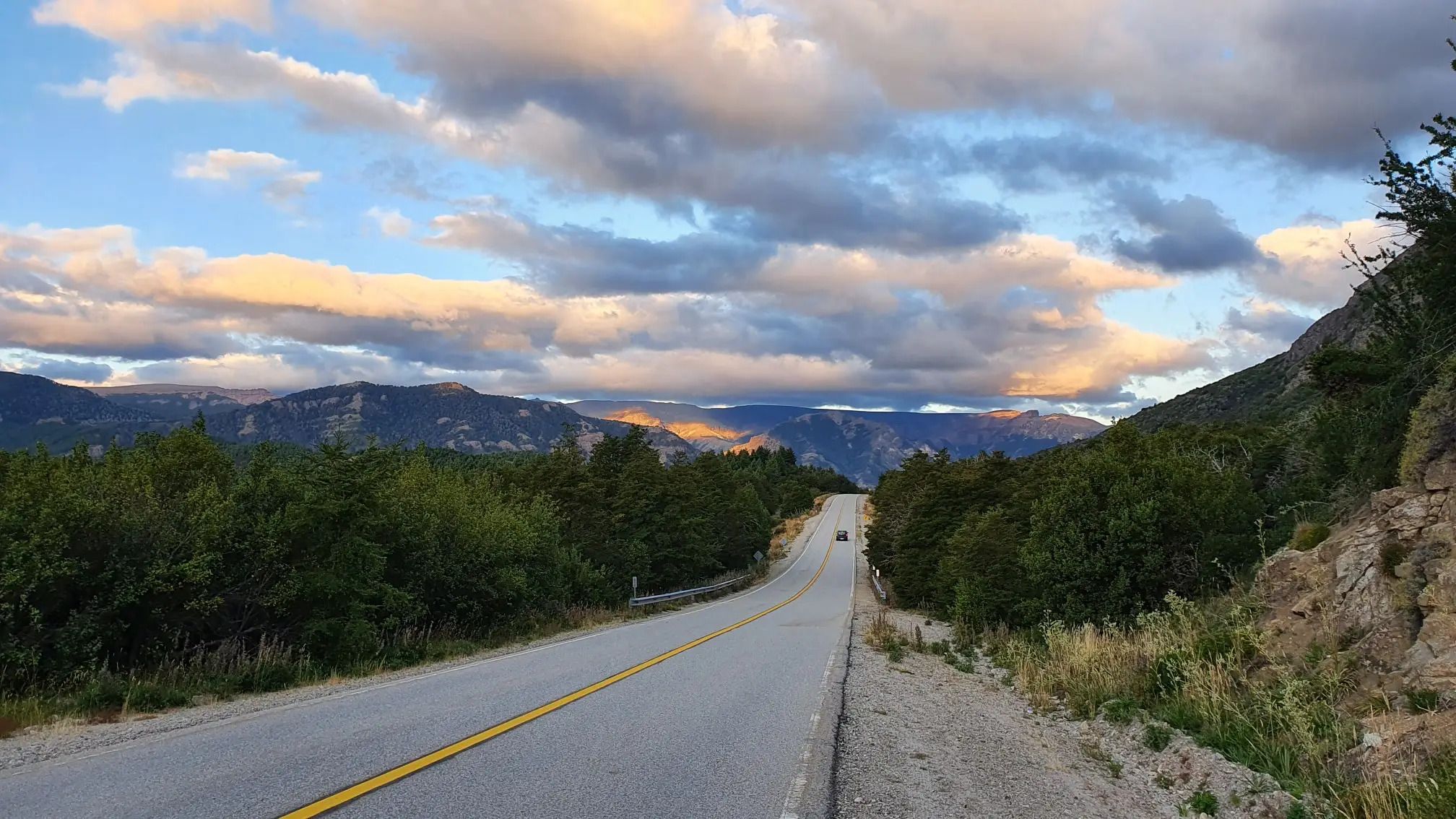
Camino al Volcán is a wide, unpaved road that leads from the entrance of Villarrica National Park to the volcano of the same name. It offers constant views of its perfect snow-capped cone on the horizon.
0
0
The Villarrica volcano is one of the most iconic and active in South America. With its perfect cone reaching 2,847 meters, it rises between Lakes Villarrica and Calafquén, forming part of Villarrica National Park. At its summit lies a permanent lava lake, visible as an intense plume of smoke. It is a classic destination for hiking and mountain enthusiasts.
1
0
Frequently Asked Questions
How many hiking trails are there in Villarrica?
Villarrica National Park and its surroundings offer a diverse network of over 5 hiking trails, ranging from easy walks to challenging volcano ascents. The komoot community has explored these routes over 300 times, providing valuable insights into the region's varied terrain.
Are there any easy hiking trails suitable for families in Villarrica?
Yes, Villarrica offers several easy trails perfect for families. The Mirador Los Cráteres Trail is an easy 3.9-mile (6.3 km) path leading to viewpoints overlooking volcanic craters. Another great option is the Estero El Carmelito en el Parque Nacional Villarrica – circular, a 3.7-mile (5.9 km) circular route through native forests.
What kind of views can I expect on hikes in Villarrica?
Hiking in Villarrica offers spectacular views dominated by the region's stratovolcanoes, including Villarrica, Quetrupillán, and Lanín. Trails often provide panoramic vistas of surrounding volcanoes, numerous lakes like Laguna Blanca and Lake Villarrica, and ancient araucaria forests. High-altitude routes, such as those leading to the Villarrica Volcano crater, offer unparalleled views of the active crater and the Andean landscape.
Are there any circular hiking routes in Villarrica?
Yes, for those who prefer not to retrace their steps, the Estero El Carmelito en el Parque Nacional Villarrica – circular is an easy 3.7-mile (5.9 km) loop. Another moderate option is the Almaboul Boulder Hall – Salto del Río Salto loop from Pucón, which is a longer 9.5-mile (15.3 km) route.
Can I see glaciers or volcanic features on the hiking trails?
Absolutely. Villarrica is renowned for its volcanic and glacial landscapes. The Ruta al mirador del glaciar Voipir — Parque Nacional Villarrica is a moderate 6.2-mile (10.0 km) trail leading to a glacier viewpoint. For a more challenging experience, the Subida al Volcán Villarrica — Ida y vuelta takes you to the crater of an active volcano, offering a unique opportunity to see volcanic formations.
What is the best time of year to hike in Villarrica?
The best time to hike in Villarrica is generally during the warmer months, from late spring to early autumn (November to April). During this period, trails are more accessible, and the weather is more stable, making it ideal for exploring both forest paths and higher-altitude volcanic terrain. Winter hiking is possible but requires specialized gear and experience due to snow and ice conditions, especially on volcano ascents.
Are there any less crowded hiking trails in Villarrica National Park?
While popular routes like the Villarrica Volcano ascent can attract many hikers, exploring trails like the Estero El Carmelito en el Parque Nacional Villarrica – circular or the Almaboul Boulder Hall – Salto del Río Salto loop from Pucón can offer a more tranquil experience. These routes provide beautiful scenery through native forests and along rivers, away from the main volcanic attractions.
What kind of wildlife can I spot while hiking in Villarrica?
Villarrica National Park's ancient forests, particularly those featuring araucaria, lenga, and coigüe trees, are home to diverse birdlife. Keep an eye out for various native bird species. While less common, you might also encounter smaller mammals. The pristine natural environment provides a rich habitat for local fauna.
What do other hikers enjoy most about hiking in Villarrica?
The hiking trails in Villarrica are highly rated by the komoot community, with an average score of 4.6 stars from over 50 reviews. Reviewers often praise the dramatic volcanic landscapes, the unique experience of hiking near an active volcano, the beauty of the ancient araucaria forests, and the stunning panoramic views of lakes and mountains from higher elevations.
Are there any notable landmarks or attractions near the hiking trails?
Yes, beyond the trails themselves, the region offers several points of interest. The Villarrica Crater is a major highlight, accessible via challenging hikes. You can also explore the town of Villarica itself, or visit the nearby settlement of Lican Ray. Some trails also offer views of unique geological features like the Vista del flujo de lava.
What should I know about parking and trailheads for Villarrica hikes?
Most major trailheads within Villarrica National Park, especially those leading to popular routes like the Villarrica Volcano ascent or glacier viewpoints, typically have designated parking areas. It's advisable to arrive early during peak season to secure a spot. Some trailheads may require an entrance fee for the national park. Always check local park regulations and conditions before heading out.
Most popular routes in Villarrica
Most popular attractions in Villarrica

Get inspired with the komoot mobile app


Explore more
Browse the best Hikes in other regions.
