The best walks and hikes in Capital
4.7
(36)
310
hikers
13
hikes
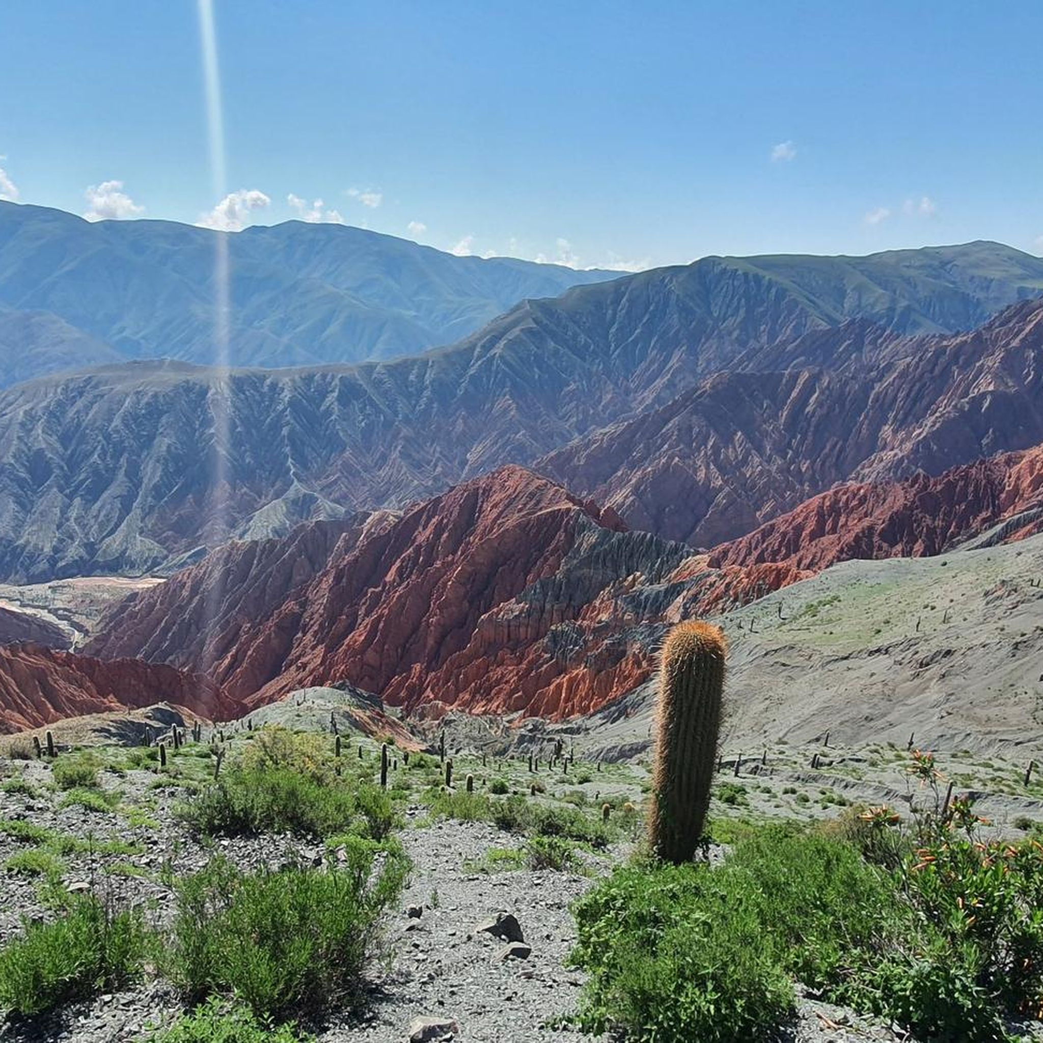
Hiking in Capital offers a diverse range of trails, characterized by hilly terrain, cloud forests, and scenic viewpoints over Salta. The region features varied landscapes, from urban-adjacent paths to more secluded routes near natural features like waterfalls and the Yungas Cloud Forest. Elevations vary, providing options for different fitness levels.
Best hiking trails in Capital
- The most popular hiking route is View of Salta loop from Salta, an easy 3.6 miles (5.8 km) trail that takes 1 hour 55…
Last updated: July 17, 2026
4.6
(5)
76
hikers
5.59km
01:52
260m
260m
Easy hike. Great for any fitness level. Easily-accessible paths. Suitable for all skill levels.
4.8
(4)
36
hikers
9.96km
02:58
270m
270m
Moderate hike. Good fitness required. Easily-accessible paths. Suitable for all skill levels.

Sign up for free
4.5
(2)
9
hikers
9.95km
03:53
720m
720m
Moderate hike. Good fitness required. Easily-accessible paths. Suitable for all skill levels.
5.0
(1)
8
hikers
2.42km
01:12
190m
190m
Moderate hike. Great for any fitness level. Mostly accessible paths. Sure-footedness required.
3
hikers
14.8km
05:54
990m
990m
Hard hike. Very good fitness required. Mostly accessible paths. Sure-footedness required.
5.0
(1)
7
hikers
6.89km
02:36
460m
460m
Moderate hike. Good fitness required. Mostly accessible paths. Sure-footedness required.
5.0
(2)
7
hikers
Moderate hike. Good fitness required. Easily-accessible paths. Suitable for all skill levels.
5.0
(1)
3
hikers
8.46km
03:02
480m
480m
Moderate hike. Good fitness required. Mostly accessible paths. Sure-footedness required.
Get access to more routes and recommendations from other explorers.
Sign up for free
Already have an account?
Our route recommendations are based on thousands of hikes, rides, and runs completed by other people on komoot.
Start today with a free account
Your next adventure awaits.
Login or Signup



Other adventures in Capital

Tips from the Community

It goes from approx. 1400m to 1930m steadily uphill, partly narrow stony paths, between overgrown trees with a few viewpoints. In sunshine 👍👍
0
0

People gather here in a very pleasant atmosphere until late in the evening after sunset.
1
0

We walked a large part of the walk today. I personally found the climbing difficult. A lot of climbing and scrambling on narrow paths. It had also rained a lot so sometimes it was slippery. Beautiful views and quite an adventure 😊
0
0

A detour to Cerro San Bernardo in Salta is worthwhile not only because of the fantastic panoramic view of the city. The route to the summit can either be climbed on foot via the many steps from the city or comfortably by cable car, the Teleférico Salta. For hikers, the climb offers a small sporting adventure with its 1,016 meters between the stations and a height difference of almost 285 meters. Once at the top, water features and small waterfalls invite you to relax. There are also some gastronomic options that are ideal for a short break. If you prefer the more relaxed route, you can glide up in just 10 minutes on the cable car and enjoy the view. The ride itself is supported by nine towers, the highest of which is almost 33 meters high. Whether you take the stairs or the cable car - Cerro San Bernardo is a highlight for nature and city lovers alike. The view is particularly worthwhile when the weather is clear, and the combination of nature, water and city life makes this place a special experience.
1
0

Be careful when going down. It’s easy to slip and sprain an ankle.
1
0

The monument to General Martín Miguel de Güemes is carved in stone taken from the same hill and crowned with the figure of the hero cast in bronze. This monument was created by the sculptor Víctor Gariño. The sculptural group, as well as the bas-reliefs that decorate the stone sides, were cast in the Esteban de Luca War Arsenal of the Army. The monument was inaugurated on February 20, 1931 by the President of the Nation, Lieutenant General José Félix Uriburu. When deciding to place the monument, the end of Paseo Güemes, at the foot of Cerro San Bernardo, was chosen because it was at this point that the general first fell from his horse while riding and was wounded by a bullet in the Horqueta ravine, where he died days later. It should be noted that every year on June 17, the gauchos gather at the foot of the monument for traditional bonfires, barbecues and guitar playing in honor of the national hero. Source: https://guemes.salta.gob.ar/historia-monumento
2
0
Cable Car: - The distance between stations is 1,016 meters, and the difference in elevation between the two bases is 284.90 meters. - The travel time is 10 minutes, and the speed is 2 meters per second. - The cable car is supported by nine towers, with the tallest tower measuring 32.60 meters and the shortest tower measuring 4.60 meters. Source: https://telefericosanbernardo.com/en/teleferico.html
0
0

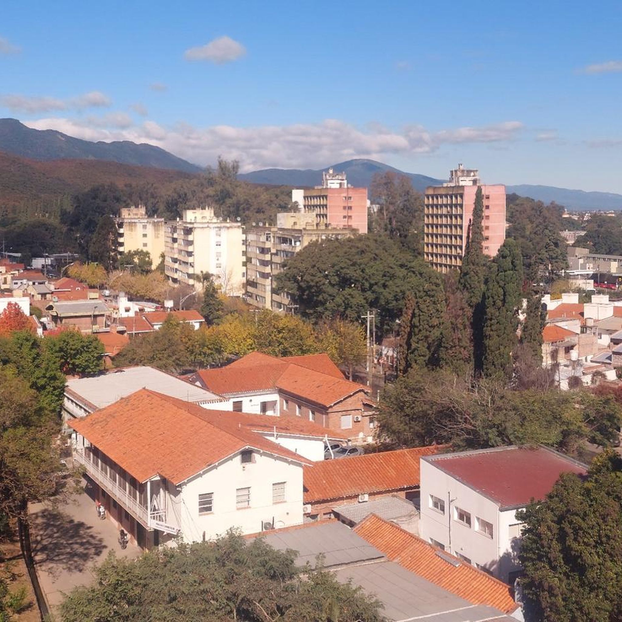
Once you have climbed the numerous steps from the town of Salta up to the Cerro San Bernado, a great view of the city awaits you. There are pretty water features at the top, you can walk between small waterfalls and take advantage of the gastronomic offer. If you don't like walking, you can also take the Teleférico cable car.
1
0
Frequently Asked Questions
How many hiking trails are available in Capital?
Capital offers a diverse network of over 10 hiking trails, catering to various skill levels. You'll find options ranging from easy strolls to more challenging treks through its unique landscapes.
Are there easy hiking trails suitable for beginners in Capital?
Yes, Capital has several easy trails perfect for beginners or those looking for a relaxed walk. An excellent option is the View of Salta loop from Salta, an easy 3.6-mile (5.8 km) route that offers panoramic city views.
What kind of terrain can I expect on hikes in Capital?
Hiking in Capital is characterized by hilly terrain, lush cloud forests, and trails that often lead to scenic viewpoints overlooking Salta. The region's diverse landscape includes both urban-adjacent paths and more secluded routes near natural features like waterfalls.
Are there any challenging hikes in Capital for experienced hikers?
For experienced hikers seeking a challenge, Capital offers difficult trails that delve deeper into its varied terrain. One such demanding route is the Quebrada de San Lorenzo – Yungas Cloud Forest Trail loop from San Lorenzo, which covers a significant distance and elevation gain.
Can I find hikes with waterfalls in Capital?
Yes, Capital features trails that lead to beautiful waterfalls. The Quebrada de San Lorenzo – San Lorenzo Waterfall loop from Quebrada San Lorenzo is a great choice for experiencing this natural beauty.
Are there circular hiking routes in Capital?
Many of Capital's hiking routes are designed as loops, allowing you to start and end at the same point. Examples include the Cerro Elefante loop from Cerro Elefante and the View of Salta loop from Salta.
What can I see along the hiking trails in Capital?
Along Capital's hiking trails, you can discover various points of interest. Many routes offer stunning views of Salta, while others lead to natural wonders like the Quebrada de San Lorenzo. You might also encounter landmarks such as the Teleférico San Bernardo & Cerro San Bernardo Summit.
What do other hikers enjoy most about hiking in Capital?
The hiking experience in Capital is highly rated by the komoot community, with an average score of 4.7 stars. Hikers frequently praise the region's diverse landscapes, from cloud forests to scenic viewpoints, and the variety of trails suitable for different fitness levels.
Are there hikes in Capital that offer great viewpoints?
Absolutely. Capital is known for its scenic viewpoints. The View of Salta – San Martín Park loop from Salta is a popular moderate trail that combines urban parkland with elevated sections, providing excellent city vistas.
How long do hikes in Capital typically take?
Hike durations in Capital vary widely depending on the trail's length and difficulty. Easy routes like the View of Salta loop from Salta can be completed in under 2 hours, while more challenging and longer trails may take several hours.
Most popular routes in Capital
Most popular attractions in Capital

Get inspired with the komoot mobile app


Didn’t find what you were looking for?
Check out more Hikes throughout Capital below and find the perfect route in your destination.
Explore more
Browse the best Hikes in other regions.
