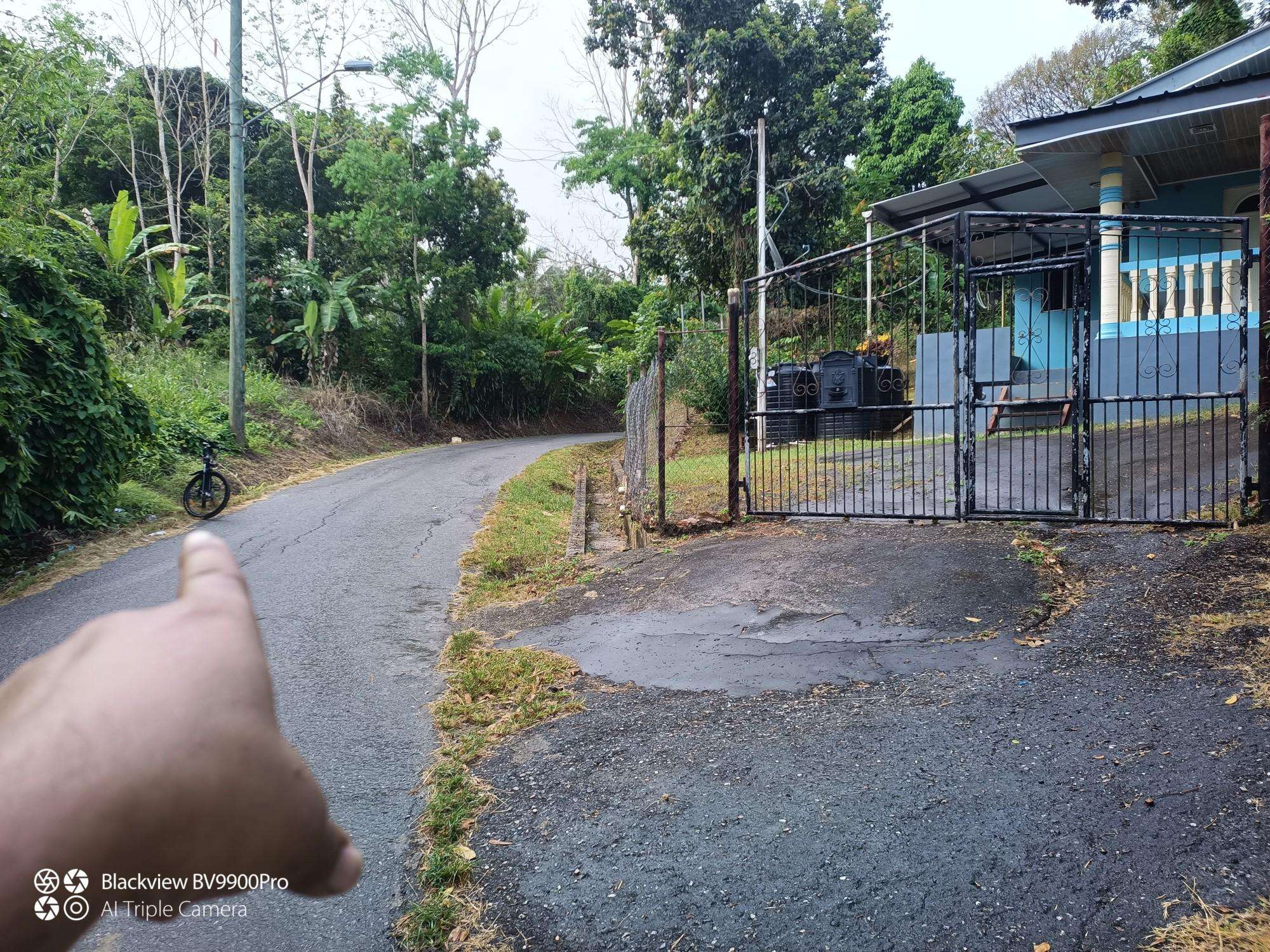
The best road cycling routes in Couva-Tabaquite-Talparo
3.0
(1)
41
riders
14
rides
Road cycling routes in Couva-Tabaquite-Talparo traverse a diverse landscape, ranging from the challenging climbs of the Central Range to the flatter sections of the Caroni Plains. The region features lush rural roads, former cocoa estates, and areas near river systems. This varied terrain provides options for different cycling preferences, from endurance training to rides with significant elevation gain.
Best road cycling routes in Couva-Tabaquite-Talparo
- The most popular road cycling route is Saint Joseph River – Lookout loop from Saint Augustine…
Last updated: July 15, 2026
6
riders
108km
06:07
2,340m
2,340m
Hard road ride. Very good fitness required. Some segments of this route may be unpaved and difficult to ride.
4
riders
77.7km
03:11
400m
400m
Moderate road ride. Good fitness required. Mostly well-paved surfaces and easy to ride.

Sign up for free
3.0
(1)
4
riders
46.5km
01:53
220m
220m
Easy road ride. Great for any fitness level. Mostly well-paved surfaces and easy to ride.
2
riders
44.4km
01:57
330m
330m
Moderate road ride. Good fitness required. Mostly well-paved surfaces and easy to ride.
3
riders
66.2km
02:45
300m
300m
Moderate road ride. Good fitness required. Some segments of this route may be unpaved and difficult to ride.
3
riders
55.0km
02:17
370m
370m
Moderate road ride. Good fitness required. Mostly well-paved surfaces and easy to ride.
3
riders
47.6km
01:59
320m
320m
Moderate road ride. Good fitness required. Mostly well-paved surfaces and easy to ride.
Get access to more routes and recommendations from other explorers.
Sign up for free
Already have an account?
Our route recommendations are based on thousands of hikes, rides, and runs completed by other people on komoot.
Start today with a free account
Your next adventure awaits.
Login or Signup
Frequently Asked Questions
What kind of terrain can I expect on road cycling routes in Couva-Tabaquite-Talparo?
Couva-Tabaquite-Talparo offers a diverse road cycling experience. You'll find challenging climbs and descents in the Central Range, providing significant elevation gain. In contrast, the Caroni Plains offer flatter sections, ideal for longer, more relaxed rides. Many routes also traverse lush rural roads and former cocoa estates, offering varied scenery.
Are there road cycling routes suitable for beginners or those looking for an easier ride?
Yes, there are routes suitable for various skill levels. For an easier ride, consider the Roadbike loop from Arima, which is 46.5 km long with moderate elevation, leading through pleasant rural areas. The region has 2 easy routes out of 14 available.
Where can I find challenging road cycling routes with significant elevation?
For a challenging ride with substantial elevation gain, the Saint Joseph River – Lookout loop from Saint Augustine is an excellent choice. This route covers 107.5 km and features over 2,300 meters of ascent, making it ideal for experienced cyclists seeking a demanding workout.
Are there any scenic natural features or landmarks to see along the road cycling routes?
Yes, the region is rich in natural beauty. You might cycle past areas near river systems or through lush landscapes. The Central Range offers sweeping views, and some routes could lead you close to natural landmarks like the Gran Couva and Brasso Venado Waterfalls, which are nestled within the rainforest. The Pointe-à-Pierre Wild Fowl Trust, a wetland sanctuary, is also a notable point of interest in the area.
What is the best time of year for road cycling in Couva-Tabaquite-Talparo?
The region generally experiences tropical weather. While specific best times can vary, the drier season typically offers more consistent conditions for road cycling, with less chance of rain impacting your ride. Always check local weather forecasts before heading out.
Are there any circular road cycling routes available?
Many of the road cycling routes in Couva-Tabaquite-Talparo are designed as loops, allowing you to start and finish at the same point. Examples include the Roadbike loop from Couva Railway Station and the Roadbike loop from Ato Boldon Stadium, offering convenient circular journeys.
What do other road cyclists say about the routes in Couva-Tabaquite-Talparo?
The routes in Couva-Tabaquite-Talparo are rated by the komoot community with an average score of 3.0 stars. More than 30 road cyclists have used komoot to explore the region's varied terrain, often appreciating the mix of challenging hills and expansive plains, as well as the authentic Trinidadian experience away from typical tourist crowds.
Can I find routes that pass through rural areas or historical sites?
Absolutely. Many routes in Couva-Tabaquite-Talparo lead through quaint rural areas and past historical cocoa estates. Cycling through these areas offers a unique cultural experience, allowing you to observe traditional Trinidadian life and scenic agricultural lands.
Are there road cycling routes suitable for families?
While specific 'family-friendly' designations depend on the family's cycling experience, routes with lower elevation gain and shorter distances, such as the Roadbike loop from Arima, might be more suitable for families looking for a less strenuous ride. Always assess the route's difficulty and traffic conditions to ensure it meets your family's needs.
What are some moderate-difficulty road cycling routes in the area?
The majority of routes in Couva-Tabaquite-Talparo are of moderate difficulty. Good options include the Roadbike loop from Couva Railway Station (77.7 km, 400m ascent) or the Roadbike loop from Arima Race Club Car Park (66.2 km, 301m ascent). These routes offer a good balance of distance and elevation without being overly demanding.
Is there information on parking or public transport access for cyclists?
While specific parking areas for cyclists are not detailed for every route, many routes start from locations like the Couva Railway Station or Ato Boldon Stadium, which may offer parking facilities. For public transport, it's advisable to check local transport options and their policies regarding bicycles, as this can vary. For general information about the region, you can visit the Couva-Tabaquite-Talparo Regional Corporation website.

Get inspired with the komoot mobile app


Explore more
Browse the best Road cycling routes in other regions.
