The best running trails in Azuay
5.0
(25)
1,696
runners
80
runs
Jogging in Azuay offers diverse routes through the southern highlands of Ecuador, characterized by Andean landscapes and varied terrain. The region features high-altitude moorlands known as páramos, numerous rivers like the Tomebamba, and valleys. These natural elements create a range of running environments, from challenging mountain paths to more accessible riverside trails.
Best jogging routes in Azuay
- The most popular jogging route is Quinta Lucrecia loop from Cuenca, a 5.2 miles (8.3 km) trail that takes about 54 minutes…
Last updated: July 11, 2026
5.0
(1)
79
runners
8.32km
00:54
60m
60m
Moderate run. Good fitness required. Mostly paved surfaces. Suitable for all skill levels.
64
runners
8.30km
00:52
60m
60m
Moderate run. Good fitness required. Mostly paved surfaces. Suitable for all skill levels.

Sign up for free
72
runners
13.6km
01:30
90m
90m
Moderate run. Good fitness required. Mostly paved surfaces. Suitable for all skill levels.
5.0
(1)
54
runners
11.7km
01:15
100m
100m
Moderate run. Good fitness required. Mostly paved surfaces. Suitable for all skill levels.
5.0
(2)
45
runners
7.74km
01:45
870m
870m
Hard run. Very good fitness required. Mostly paved surfaces. Suitable for all skill levels.
37
runners
14.7km
01:34
120m
110m
Moderate run. Good fitness required. Mostly paved surfaces. Suitable for all skill levels.
5.0
(1)
39
runners
10.4km
01:07
90m
100m
Moderate run. Good fitness required. Mostly paved surfaces. Suitable for all skill levels.
5.0
(1)
40
runners
22.3km
02:32
200m
200m
Hard run. Very good fitness required. Mostly paved surfaces. Suitable for all skill levels.
34
runners
21.8km
02:22
220m
230m
Hard run. Very good fitness required. Mostly paved surfaces. Suitable for all skill levels.
36
runners
20.3km
02:16
150m
150m
Hard run. Very good fitness required. Mostly paved surfaces. Suitable for all skill levels.
Get access to more routes and recommendations from other explorers.
Sign up for free
Already have an account?
Our route recommendations are based on thousands of hikes, rides, and runs completed by other people on komoot.
Start today with a free account
Your next adventure awaits.
Login or Signup

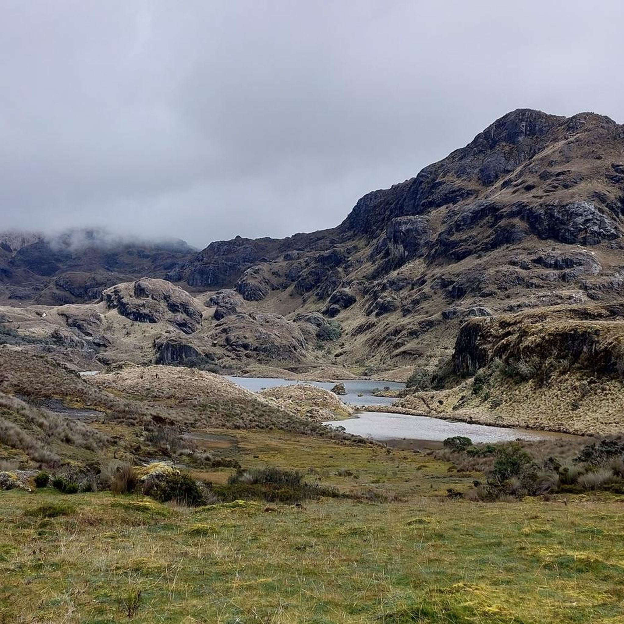
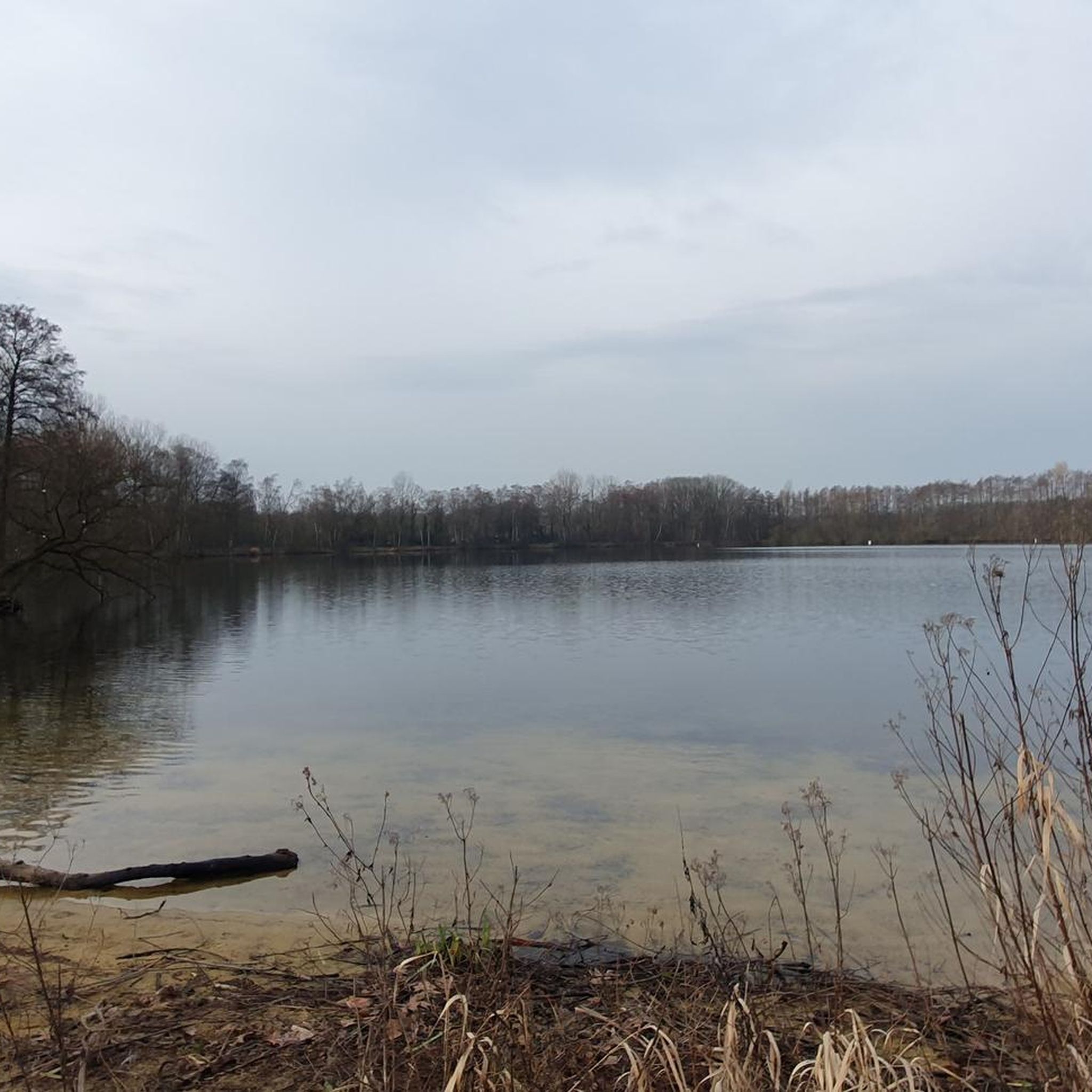
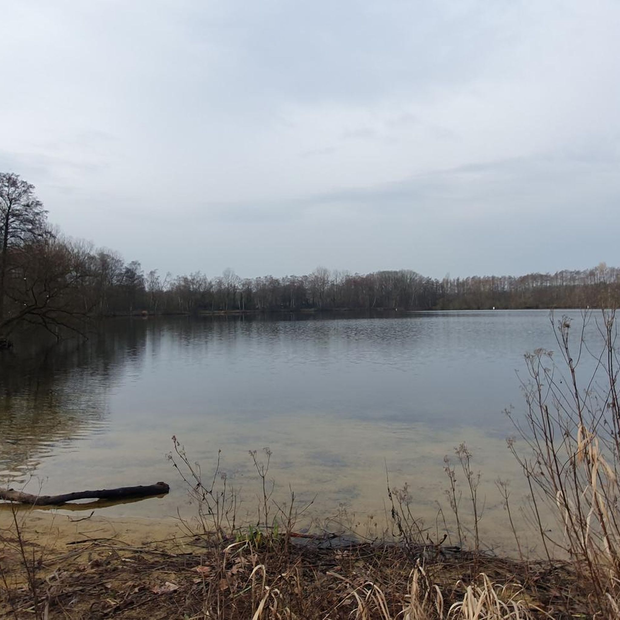
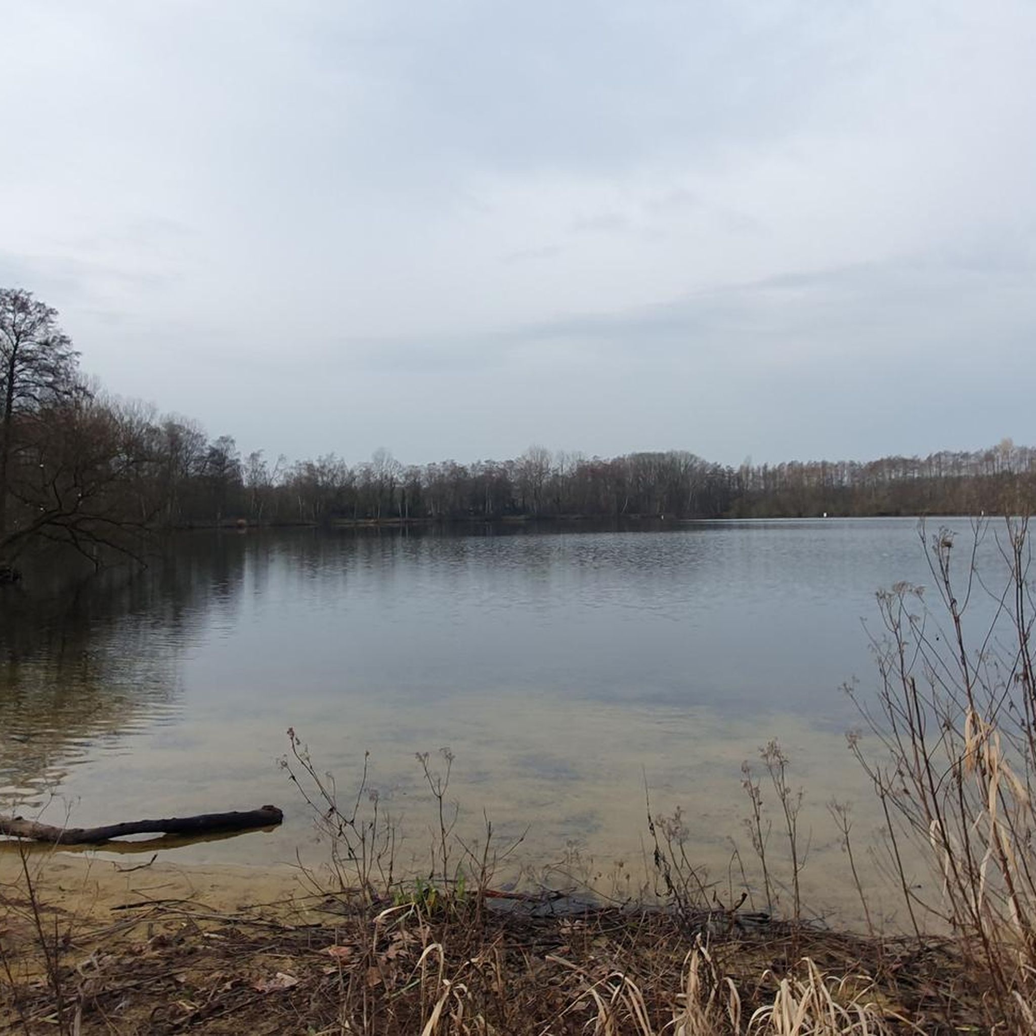



Tips from the Community


Cuenca, with its almost 700,000 inhabitants, is the third largest city in Ecuador. It is located at an altitude of 2,500 meters above sea level, within a basin surrounded by gentle hills (hills that reach altitudes even above 3,000 metres). The city is an extraordinary combination of Andean and European culture. It offers everything you need for a regenerating break from the pedals. Don't miss the Pumapungo anthropological museum: it helps you learn more about Ecuadorian traditions and culture.
1
0

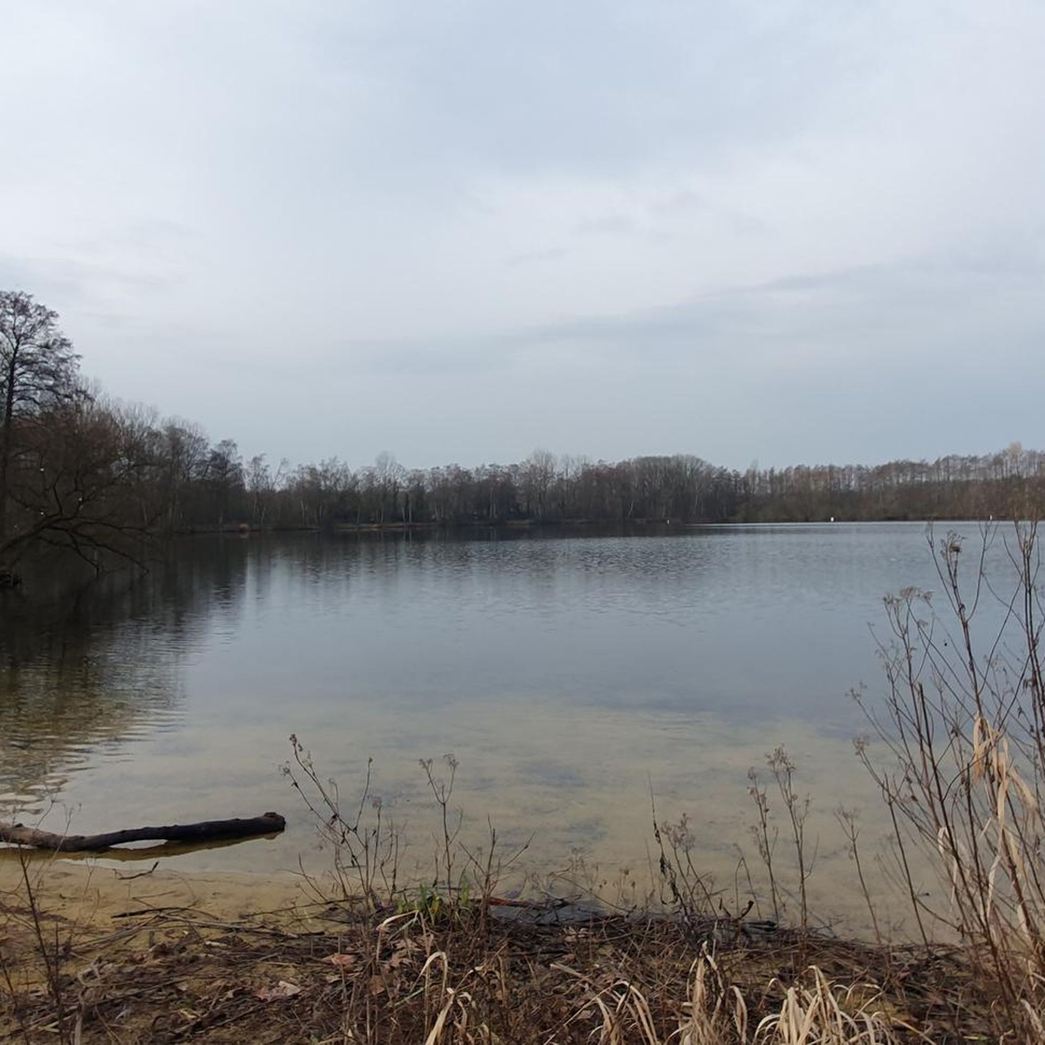
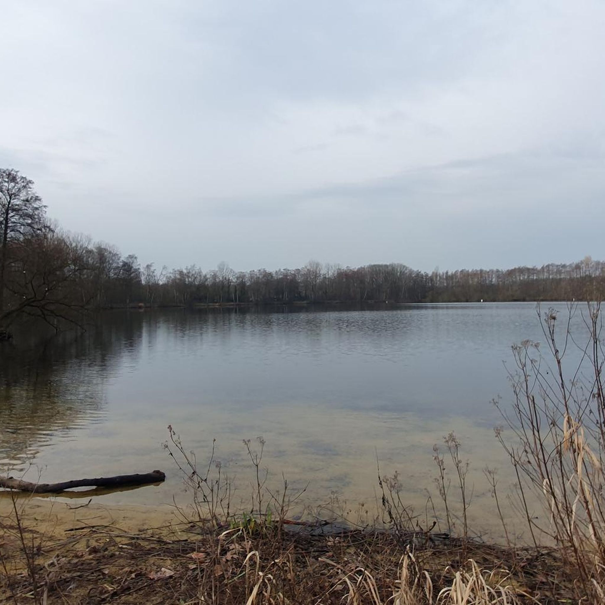
a beautiful route to run in the middle of nature
0
0
Frequently Asked Questions
How many running routes are available in Azuay?
Azuay offers a wide selection of running routes, with over 80 trails documented on komoot. These range from easy paths to challenging mountain runs, catering to various fitness levels.
What types of terrain can I expect on jogging routes in Azuay?
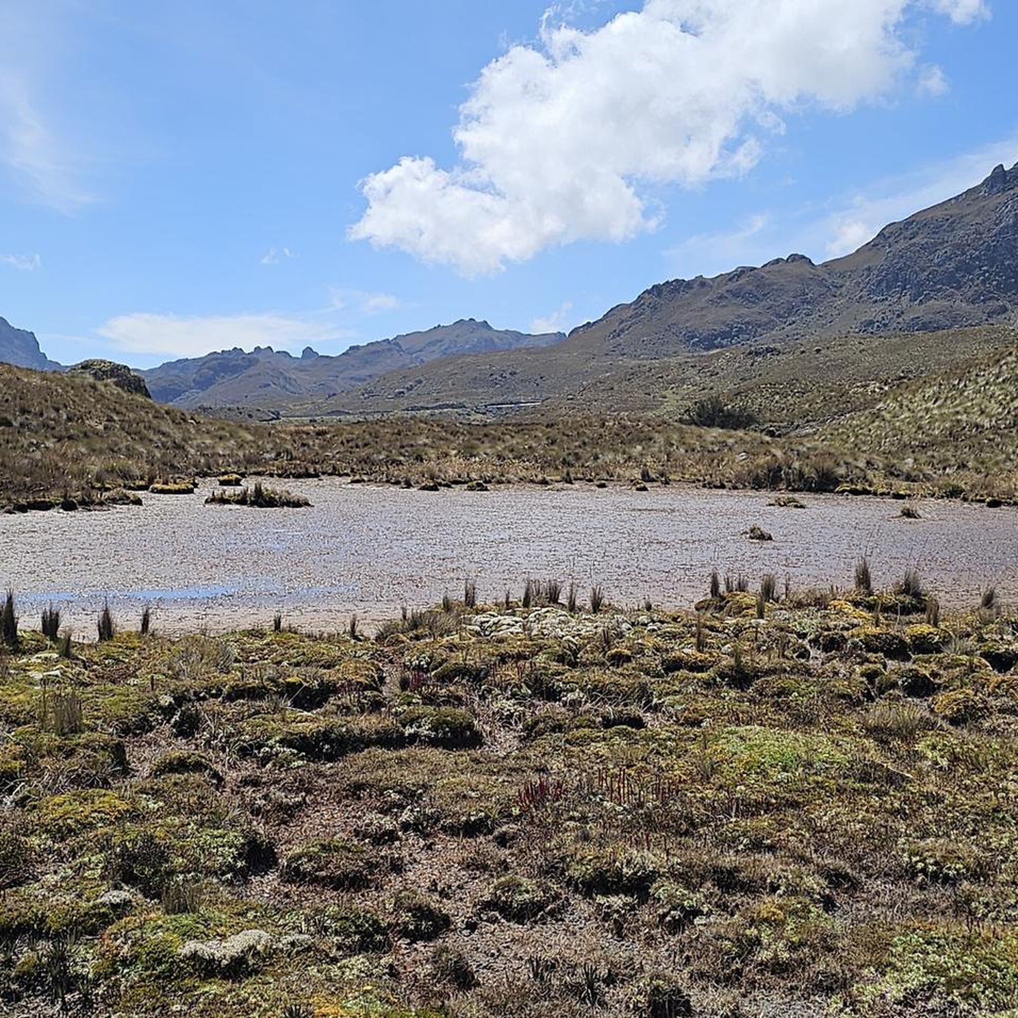
Jogging in Azuay provides diverse terrain. You'll find high-altitude moorlands (páramos) in areas like Cajas National Park, scenic riverside trails along the Tomebamba and other rivers, and paths through valleys and mountainous regions. The landscape is characterized by the stunning Andean environment.
Are there any easy or beginner-friendly running routes in Azuay?
Yes, Azuay has several easy running options. There are 6 routes specifically rated as easy, perfect for beginners or those seeking a relaxed jog. Many riverside trails in and around Cuenca also offer gentler gradients.
What is the best time of year for running in Azuay?
Azuay boasts a pleasant climate year-round, with temperatures generally ranging between 12 and 20 degrees Celsius. This makes it suitable for outdoor activities like running throughout the year, though conditions in high-altitude areas like Cajas National Park can vary.
Are there any family-friendly running paths in Azuay?
While specific family-friendly routes are not explicitly listed, many of the easier, flatter trails, especially those along rivers in urban areas like Cuenca, would be suitable for families. Parks within Cuenca, such as Calderón Park or the El Barranco area along the Tomebamba River, also offer accessible options.
Can I find circular running routes in Azuay?
Yes, many routes in Azuay are designed as loops, offering a convenient way to start and finish your run in the same location. Examples include the Quinta Lucrecia loop from Cuenca or the Cuenca – Consulate loop from Cuenca.
What kind of natural attractions can I see while running in Azuay?
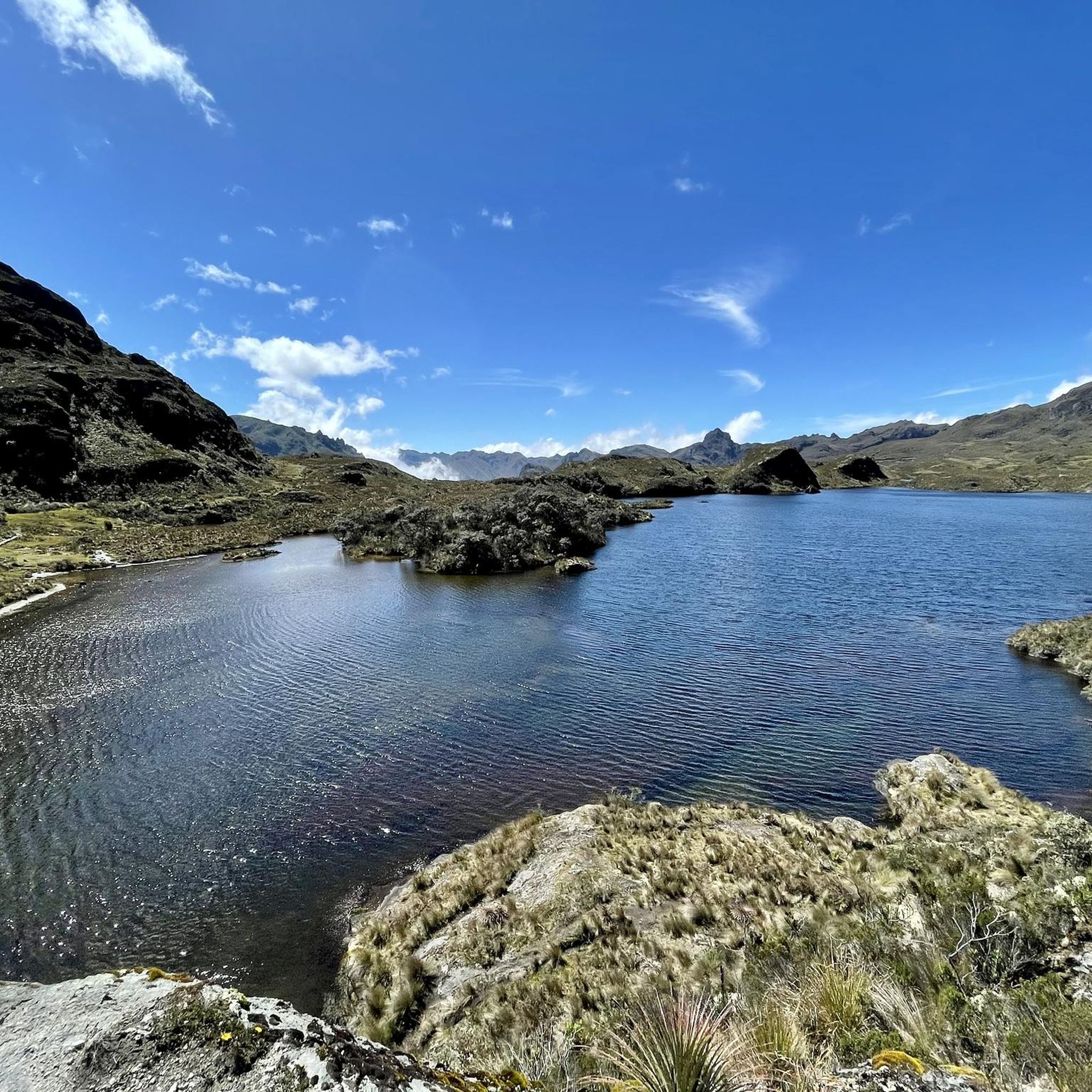
Azuay's running routes often pass through or near stunning natural features. You can encounter numerous lagoons, such as Laguna Toreadora in Cajas National Park, and enjoy views of the Andean páramos. Riverside trails offer scenic beauty, and some routes provide access to viewpoints like Mirador Tres Cruces.
Are there any specific permits required for running on trails in Azuay, especially in protected areas?
For protected areas like Cajas National Park, it's advisable to check current regulations regarding entry fees or permits, especially if you plan to venture off marked trails or stay overnight. While general jogging on public paths usually doesn't require permits, specific park rules may apply.
What do other runners enjoy most about jogging in Azuay?
The running routes in Azuay are highly rated by the komoot community, with an average score of 5.0 stars from nearly 20 reviews. Runners often praise the diverse Andean landscapes, the variety of terrain from urban riverside paths to challenging mountain trails, and the overall natural beauty of the region.
Are there any long-distance running trails for experienced runners in Azuay?
Yes, Azuay offers challenging routes for experienced runners. For instance, the Consulate – Path Along the Cuenca River loop from Cuenca is a difficult 22.3 km (13.9 mi) trail with significant elevation changes, providing a demanding experience.
What should I wear for jogging in Azuay's varied climate?
Given Azuay's moderate climate (12-20°C), layering is recommended. For higher altitude trails, prepare for cooler temperatures and potential rain, even if it's sunny in Cuenca. Comfortable running shoes suitable for varied terrain, a light jacket, and sun protection are generally good choices.
Are there any running routes with good public transport access in Azuay?
Many routes originating from or passing through Cuenca, the capital of Azuay, will likely have good public transport access. Urban and peri-urban trails, such as those along the Tomebamba River, are generally well-connected by the city's transport network.
Most popular attractions in Azuay

Get inspired with the komoot mobile app


Didn’t find what you were looking for?
Check out more Running Trails & Routes throughout Azuay below and find the perfect route in your destination.
Explore more
Browse the best Running Trails & Routes in other regions.
