The best walks and hikes in Santiago Metropolitan
4.8
(450)
4,040
hikers
67
hikes
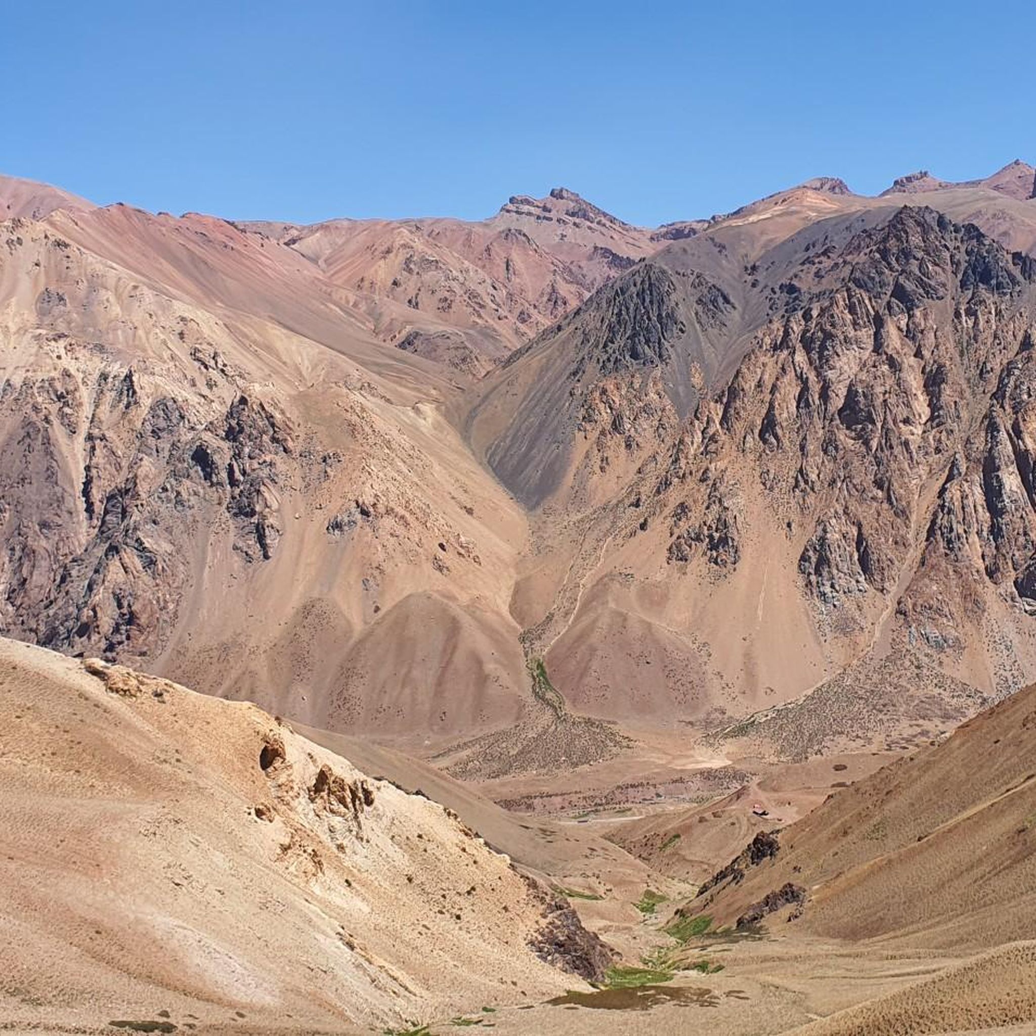
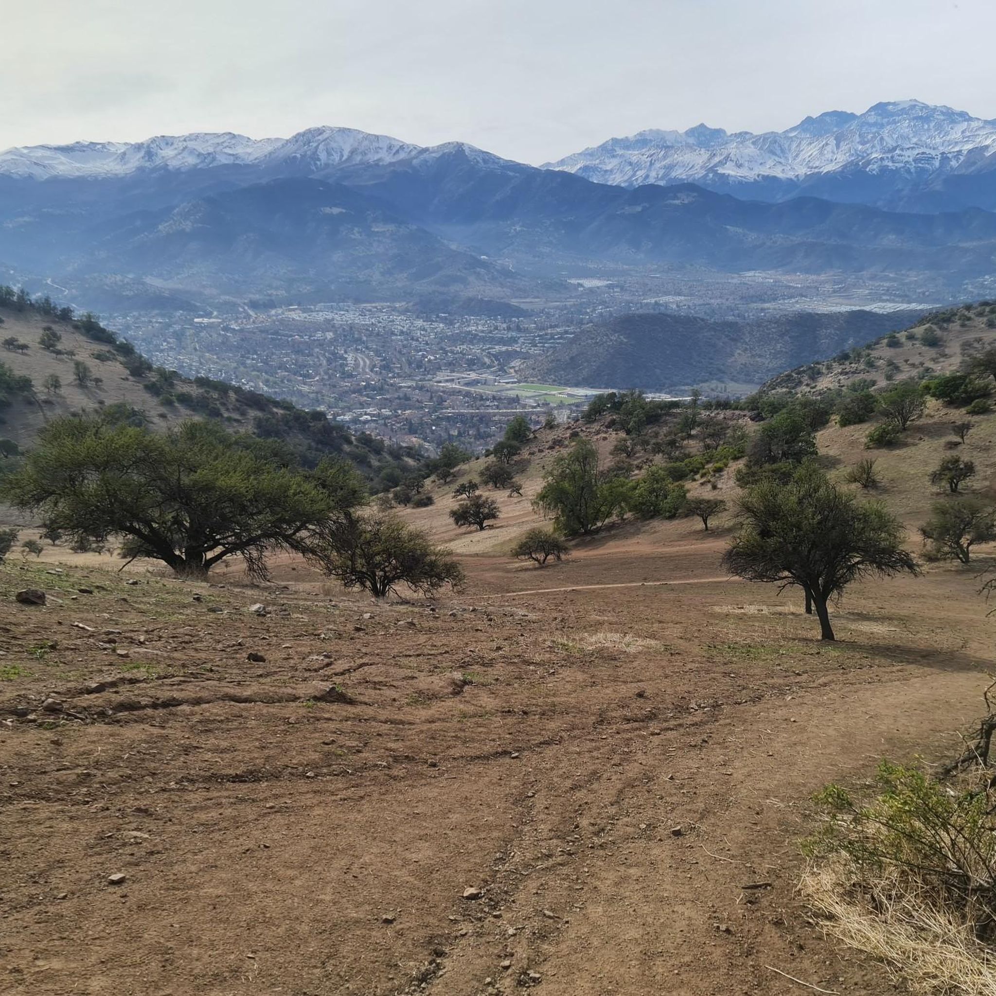
Hiking trails in Santiago Metropolitan are primarily shaped by the dramatic Andes Mountains to the east, offering high-altitude adventures and glacial valleys. To the west, the Coastal Mountain Range presents a different ecological experience with Mediterranean forests. The region features diverse landscapes, including deep canyons, clear rivers, and prominent urban hills, providing varied terrain for outdoor activities.
Best hiking trails in Santiago Metropolitan
- The most popular hiking route is Cerro El Carbón Trail, a 4.9 miles (7.9 km) trail that takes 4 hours 1 minute to complete. This moderate route ascends Cerro El Carbón, offering panoramic views of the city and surrounding mountains.
- Another top favourite among local hikers is Sendero Los Peumos en el parque natural Aguas de Ramón, a moderate 3.9 miles (6.2 km) path. This trail leads through native forests and along a river, culminating in a waterfall.
- Local hikers also love the Circular cima del cerro San Cristóbal por sendero Zorro Vidal — Santiago de Chile, a 2.8 miles (4.6 km) trail leading through urban parkland, often completed in about 1 hour 36 minutes.
- Hiking in Santiago Metropolitan is defined by the majestic Andes Mountains, the diverse ecosystems of the Coastal Mountain Range, and accessible urban hills. The network offers options for different ability levels, from gentle walks to challenging multi-day treks.
- The routes in Santiago Metropolitan are highly rated by the komoot community with an average score of 4.8 stars from over 400 reviews. More than 3,700 hikers have used komoot to explore Santiago Metropolitan's varied terrain.
Last updated: July 7, 2026
4.7
(54)
474
hikers
7.95km
04:01
650m
650m
Hike the moderate 4.9-mile Cerro El Carbón Trail near Santiago for panoramic city and Andes mountain views, gaining 2148 feet.
4.7
(54)
474
hikers
8.00km
04:05
660m
660m
Hike the moderate 5.0 miles (8.0 km) Cerro El Carbón Trail for panoramic views of Santiago and the Andes mountains.

Sign up for free
4.6
(29)
246
hikers
6.24km
02:04
290m
290m
Moderate hike. Good fitness required. Easily-accessible paths. Suitable for all skill levels.
4.4
(27)
279
hikers
5.19km
02:27
540m
540m
Hike Cerro Manquehue, Santiago's iconic peak, for moderate difficulty, 3.2 miles, 1781 feet elevation gain, and panoramic city views.
4.8
(11)
191
hikers
Easy hike. Great for any fitness level. Easily-accessible paths. Suitable for all skill levels.
4.8
(25)
138
hikers
10.3km
04:29
860m
860m
Moderate hike. Good fitness required. Mostly accessible paths. Sure-footedness required.
4.8
(25)
138
hikers
10.2km
04:28
860m
860m
Hike the moderate 6.4-mile Morro Las Papas and Alto de las Vizcachas Loop Trail for panoramic views of Santiago and the Andes.
4.9
(22)
121
hikers
13.2km
06:06
1,020m
1,020m
Hike the challenging Cerro El Carbón and Cerro Manquehue Traverse for 8.2 miles (13.2 km) with 3351 feet (1021 metres) of elevation gain.
5.0
(13)
119
hikers
19.1km
08:43
1,570m
1,570m
Hike the challenging "Triple Corona" circuit in Parque RKF Manquehue, summiting Cerro El Carbón, Cerro Manquehue, and Cerro Manquehuito for
5.0
(8)
102
hikers
7.55km
02:19
270m
270m
Hike the moderate 4.7-mile Cerro San Cristóbal circular trail for panoramic views of Santiago and the Andes, gaining 891 feet.
Get access to more routes and recommendations from other explorers.
Sign up for free
Already have an account?
Our route recommendations are based on thousands of hikes, rides, and runs completed by other people on komoot.
Start today with a free account
Your next adventure awaits.
Login or Signup

Tips from the Community

Beautiful viewpoint! Los Peumos trail, a lovely route to end with a refreshing swim
0
0

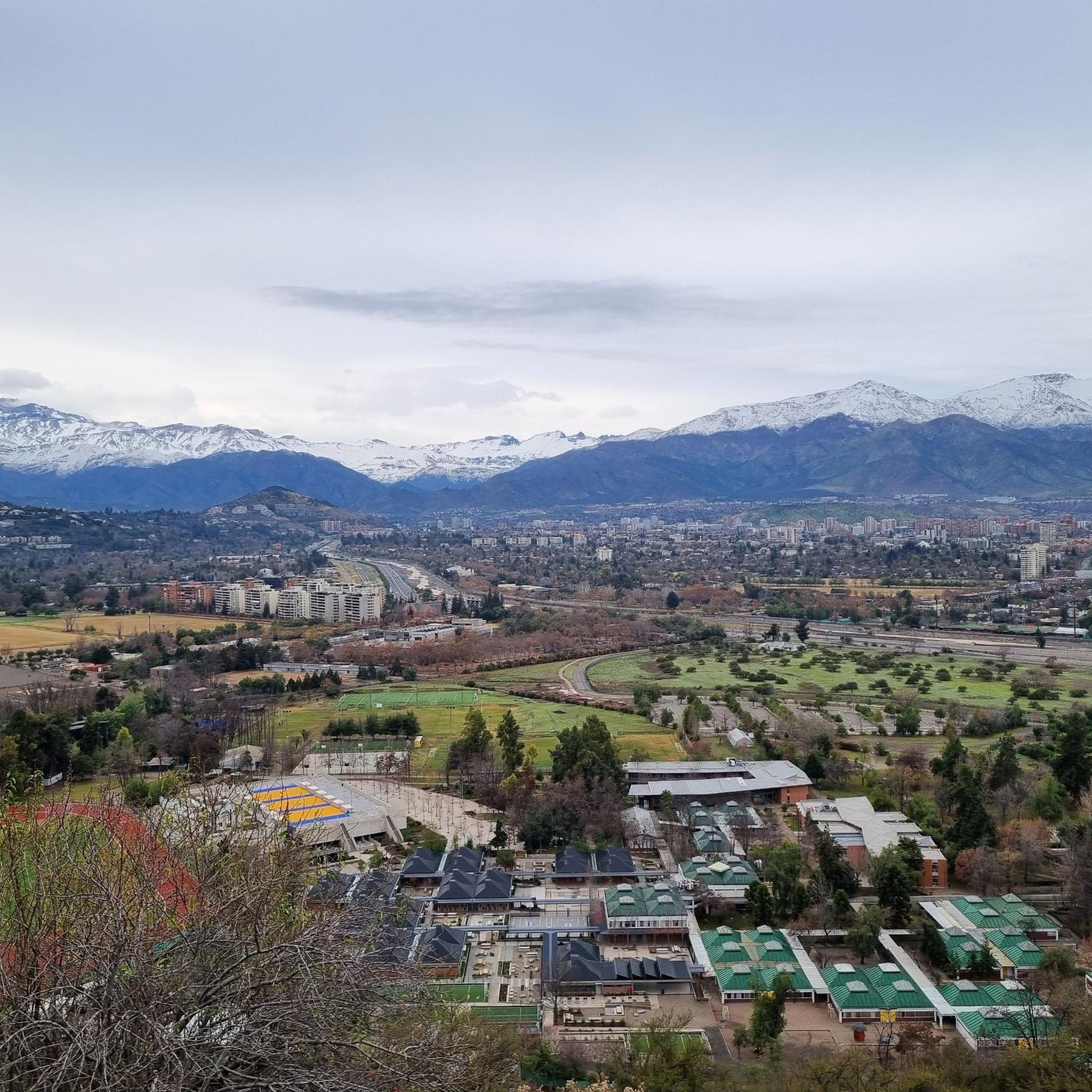
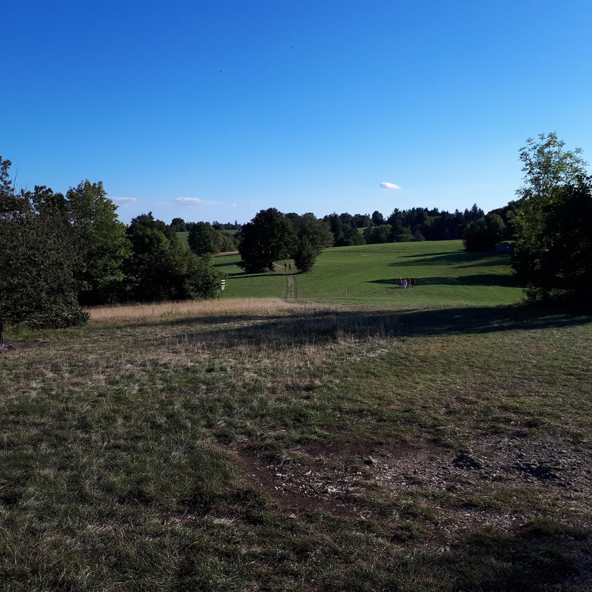
At the entrance of the Zorro Vidal trail, at the foot of San Cristóbal hill, you can contemplate a beautiful panoramic view of the city of Santiago.
0
0

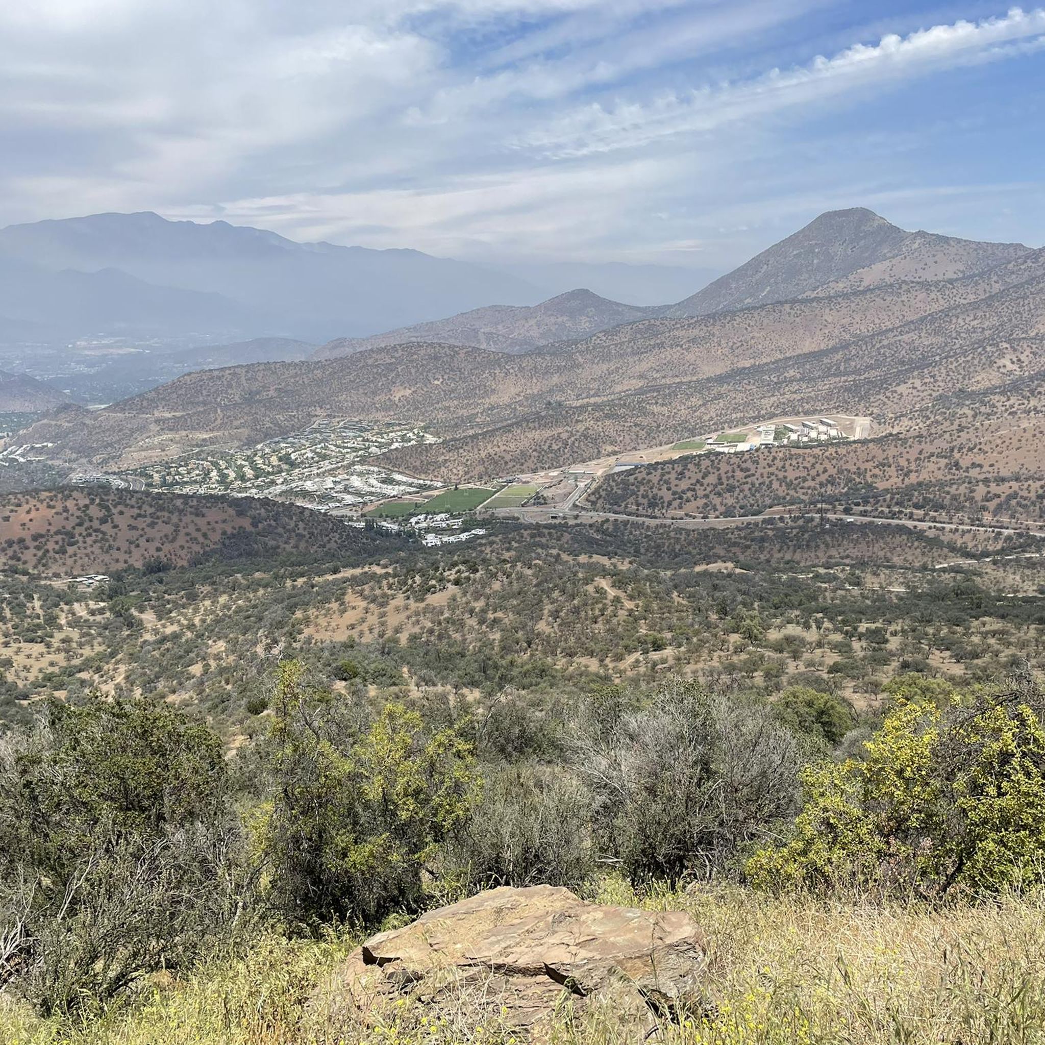
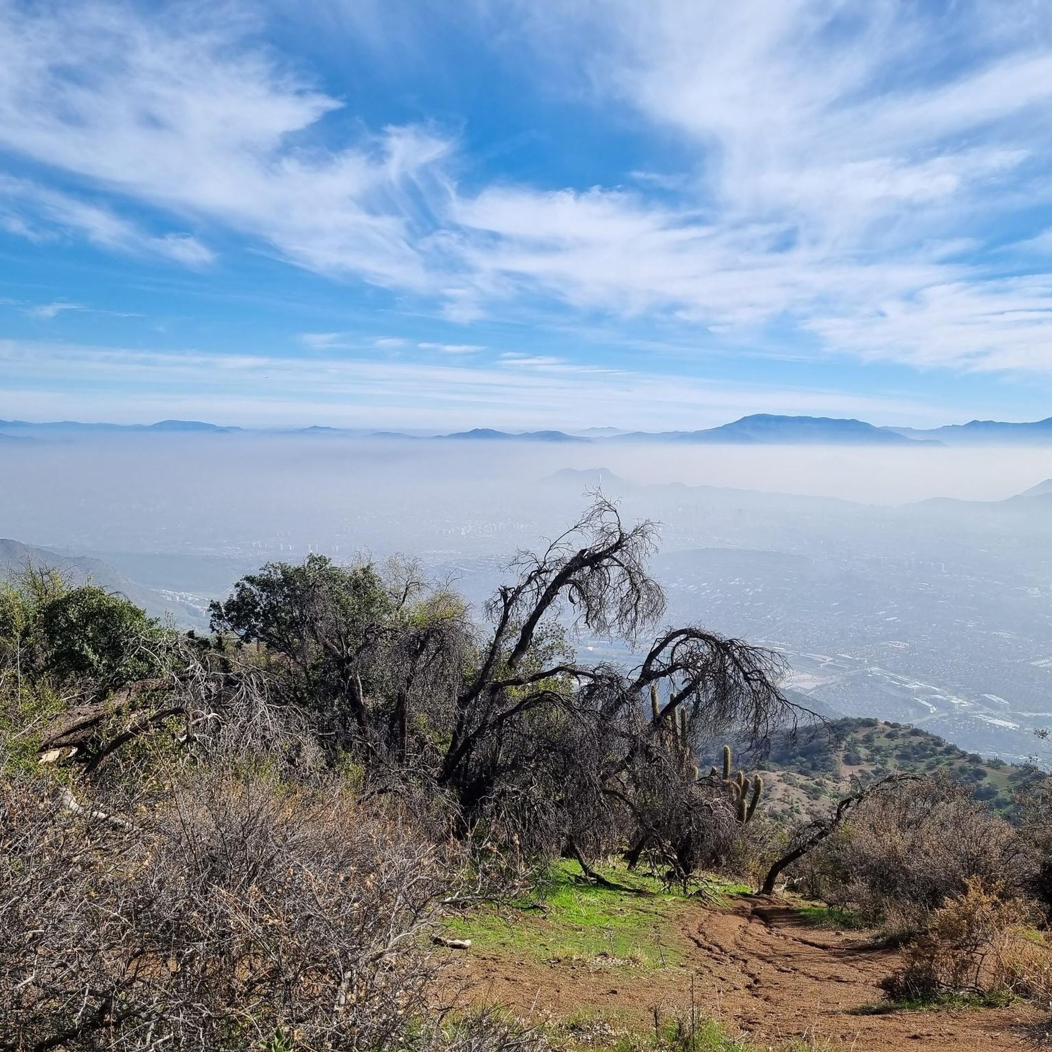
The Mirador de la Roca viewpoint, in the Aguas de Ramón Natural Park, is a natural balcony with sweeping views of the valley and the rugged foothills of the Andes. Access is via a well-marked trail that combines shade with more exposed sections. It's a perfect spot to enjoy the scenery before continuing your hike; wear comfortable shoes and bring water, especially on hot days.
0
0
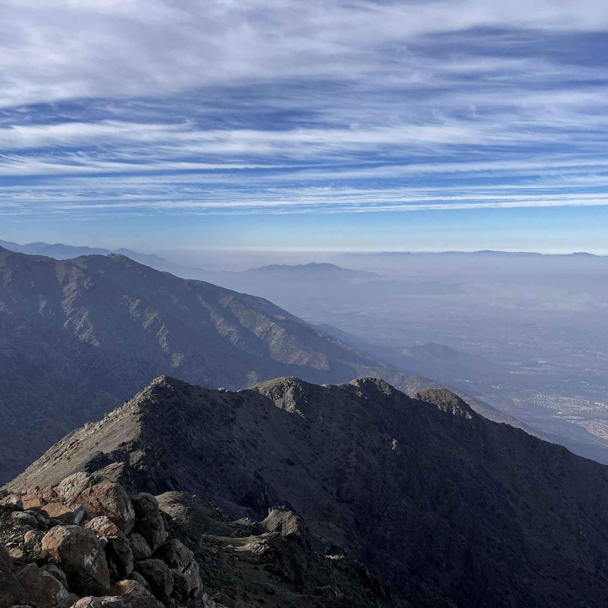
The Altas Cumbres viewpoint, in Aguas de Ramón Natural Park, offers a sweeping view of the foothills mountains and the valleys surrounding Santiago. It's a very rewarding end to a steady, well-marked climb. Sturdy footwear and plenty of water are recommended, as much of the route is exposed and sunny.
0
0

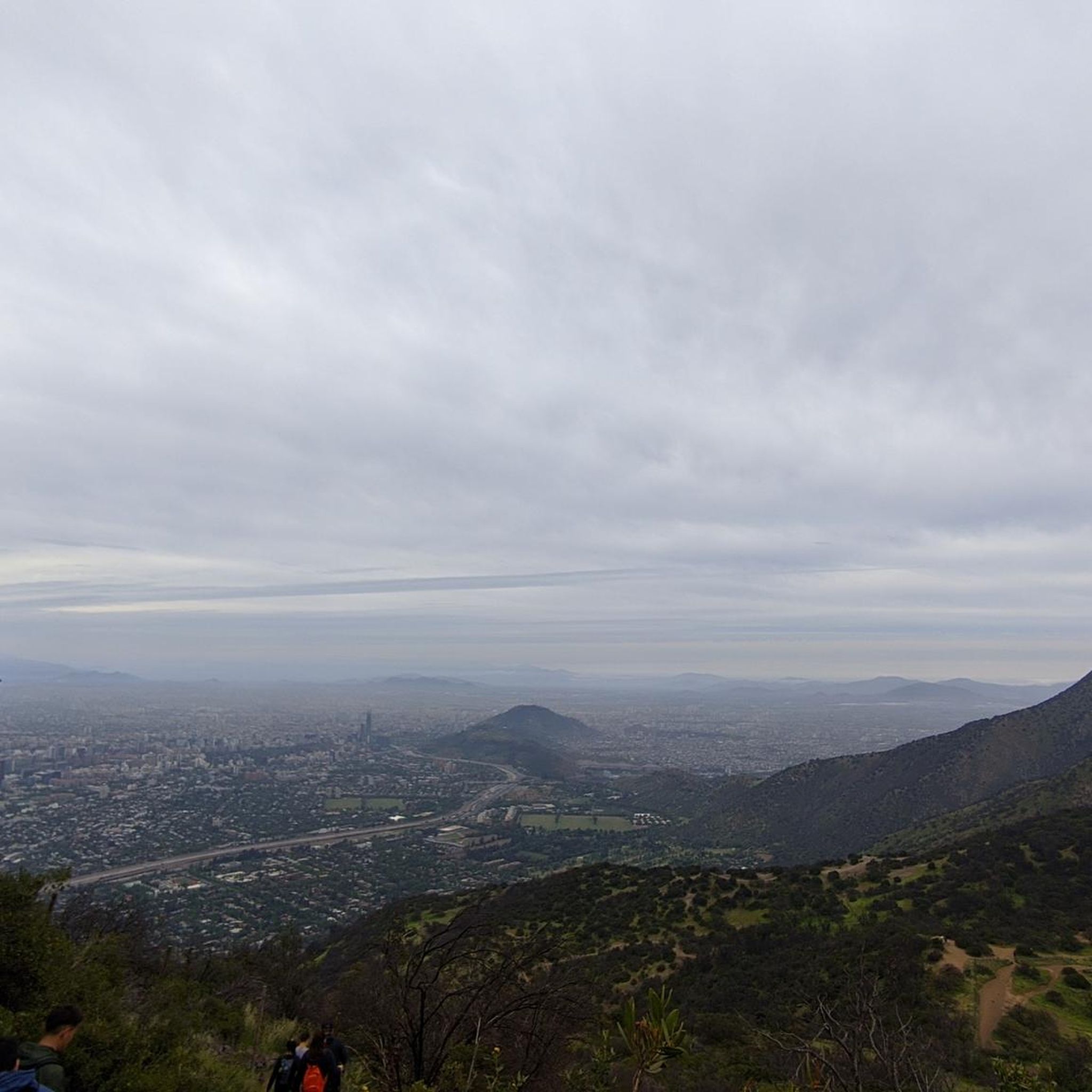
From the viewpoint, the city unfolds at your feet like a network of avenues, parks, and rooftops that fade into the horizon. Around it, the mountains rise in a vast natural amphitheater, displaying varying shades of green and gray that frame the landscape. A truly breathtaking sight.
0
0
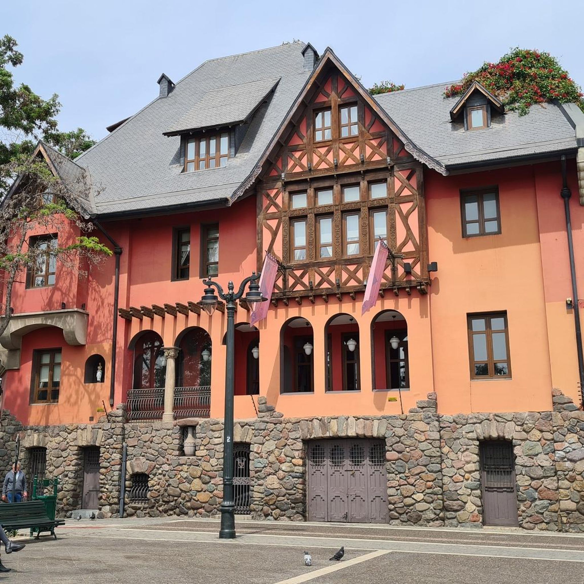
It's an access point on mountain routes, surrounded by vegetation and trails that connect to stunning natural landscapes. From there, you can begin hikes to higher elevations.
0
0
From this high point you can appreciate the contrast between wooded areas and open clearings, while the tranquility of the place invites you to contemplate the landscape calmly and enjoy a moment of connection with nature.
0
0
The Virgin of the Immaculate Conception symbolizes the purity and grace of Mary, conceived without original sin. She is traditionally depicted wearing white and blue robes, with her hands clasped and the moon at her feet, a symbol of light and hope. On San Cristóbal Hill, her image rises like an icon, watching over the city from its heights.
0
0
Frequently Asked Questions
How many hiking trails are available in Santiago Metropolitan?
Santiago Metropolitan offers a wide variety of hiking experiences, with over 60 routes documented on komoot. These range from easy strolls to challenging multi-day treks, catering to all skill levels.
What types of landscapes can I expect to see while hiking in Santiago Metropolitan?
The region's hiking trails are primarily defined by the majestic Andes Mountains to the east, featuring high-altitude adventures, glacial valleys, and stunning reservoirs like Embalse El Yeso. To the west, the Coastal Mountain Range offers a different ecological experience with Mediterranean forests and unique Chilean palm trees. You'll also find deep canyons, clear rivers, and prominent urban hills providing diverse terrain.
Are there any hikes with waterfalls in Santiago Metropolitan?
Yes, for those seeking waterfalls, the Sendero Los Peumos en el parque natural Aguas de Ramón is an excellent choice. This moderate trail leads through native forests and along a river, culminating in a beautiful waterfall within the Aguas de Ramón Natural Park.
What are some family-friendly hiking options in Santiago Metropolitan?
For an accessible and rewarding family outing, consider the Circular cima del cerro San Cristóbal por sendero Zorro Vidal — Santiago de Chile. This easy 2.8-mile (4.6 km) loop takes you through urban parkland to the summit of Cerro San Cristóbal, offering impressive panoramic views of the city. Another option is exploring the lower trails within Aguas de Ramón Natural Park.
Are there any circular hiking routes in the region?
Absolutely. A popular loop trail is the Circular cima del cerro San Cristóbal por sendero Zorro Vidal — Santiago de Chile, which offers great city views. For a more challenging option, the Morro Las Papas and Alto de las Vizcachas Loop Trail provides a moderate 6.4-mile (10.2 km) hike with significant elevation gain and rewarding vistas.
What kind of views and landmarks can I expect on the trails?
Many trails offer spectacular views of the Andes Mountains and the Santiago cityscape. Notable landmarks and viewpoints include the Statue of the Immaculate Conception on Cerro San Cristóbal, the Manquehuito Summit, and the Cerro Santa Lucía. Higher altitude trails in areas like Cajón del Maipo can reveal stunning glacial valleys and turquoise lagoons such as Laguna Morales.
What do other hikers enjoy most about hiking in Santiago Metropolitan?
The hiking trails in Santiago Metropolitan are highly rated by the komoot community, with an average score of 4.8 stars from over 400 reviews. Hikers frequently praise the incredible panoramic views of the city and the Andes, the diverse natural environments, and the accessibility of trails that make you feel far from urban life despite their proximity to the capital.
Are there any challenging hikes for experienced trekkers?
Yes, Santiago Metropolitan offers several challenging routes. The Cerro El Carbón and Cerro Manquehue Traverse is a difficult 8.2-mile (13.1 km) hike with over 1000 meters of elevation gain, offering a solid workout and incredible views. For an even more demanding adventure, consider the Carbón, Manquehue, and Manquehuito Triple Crown Trail, a difficult 11.8-mile (19 km) route that covers three prominent peaks.
What is the best time of year to go hiking in Santiago Metropolitan?
The best time for hiking in Santiago Metropolitan generally depends on the altitude and specific trail. Spring (September to November) and autumn (March to May) offer pleasant temperatures and clear skies, ideal for most trails. During summer (December to February), lower-altitude trails can be very hot, while higher Andean routes become more accessible as snow melts. Winter (June to August) can bring snow to the Andes, making some high-altitude trails challenging or inaccessible, but urban and lower-elevation trails may still be enjoyable.
Are there any trails that offer views of glaciers?
Yes, for those interested in glaciers, the El Morado Natural Monument within Cajón del Maipo is a prime destination. It offers treks to the Laguna Morales and the impressive San Francisco Glacier. While not directly linked in our routes, this protected area is a renowned spot for experiencing glacial landscapes in the region.
Can I reach hiking trails using public transport from Santiago?
Many trails in Santiago Metropolitan are surprisingly accessible from the city, with some even reachable by public transport. For example, Cerro San Cristóbal is easily accessed within the city, and various bus routes can take you closer to the entrances of parks like Aguas de Ramón Natural Park or areas within Cajón del Maipo, though further travel might require taxis or ride-sharing services.
Are there any hidden gems or less-known trails worth exploring?
While many trails offer stunning views, exploring areas like La Campana National Park, a UNESCO Biosphere Reserve, can feel like a hidden gem. It offers diverse forests and panoramic views stretching from the Andes to the Pacific Ocean. Within the city's reach, trails like the Trail to Manquehue offer a rewarding experience with panoramic views, making you feel far from the urban bustle.
Most popular routes in Santiago Metropolitan
Most popular attractions in Santiago Metropolitan

Get inspired with the komoot mobile app


Didn’t find what you were looking for?
Check out more Hikes throughout Santiago Metropolitan below and find the perfect route in your destination.
Explore more
Browse the best Hikes in other regions.
