The best walks and hikes in Puno
4.3
(83)
493
hikers
3
hikes
Hiking in Puno offers exploration across the high-altitude Altiplano, characterized by vast Andean grasslands and rugged mountains. The region is dominated by Lake Titicaca, the largest lake in South America, providing unique shoreline trails and panoramic views. This unique environment, situated at over 12,000 feet above sea level, presents diverse terrain for outdoor enthusiasts.
Best hiking trails in Puno
- The most popular hiking route is Playa de las Sirenas – Cerro Santa Barbara Junction loop from Isla del Sol,…
Last updated: July 10, 2026
4.9
(81)
474
hikers
Hard hike. Very good fitness required. Easily-accessible paths. Suitable for all skill levels.
3.0
(1)
9
hikers
Moderate hike. Good fitness required. Easily-accessible paths. Suitable for all skill levels.

Sign up for free
5.0
(1)
10
hikers
5.81km
01:51
230m
230m
Easy hike. Great for any fitness level. Easily-accessible paths. Suitable for all skill levels.
Our route recommendations are based on thousands of hikes, rides, and runs completed by other people on komoot.
Start today with a free account
Your next adventure awaits.
Login or Signup
Popular around Puno
Tips from the Community


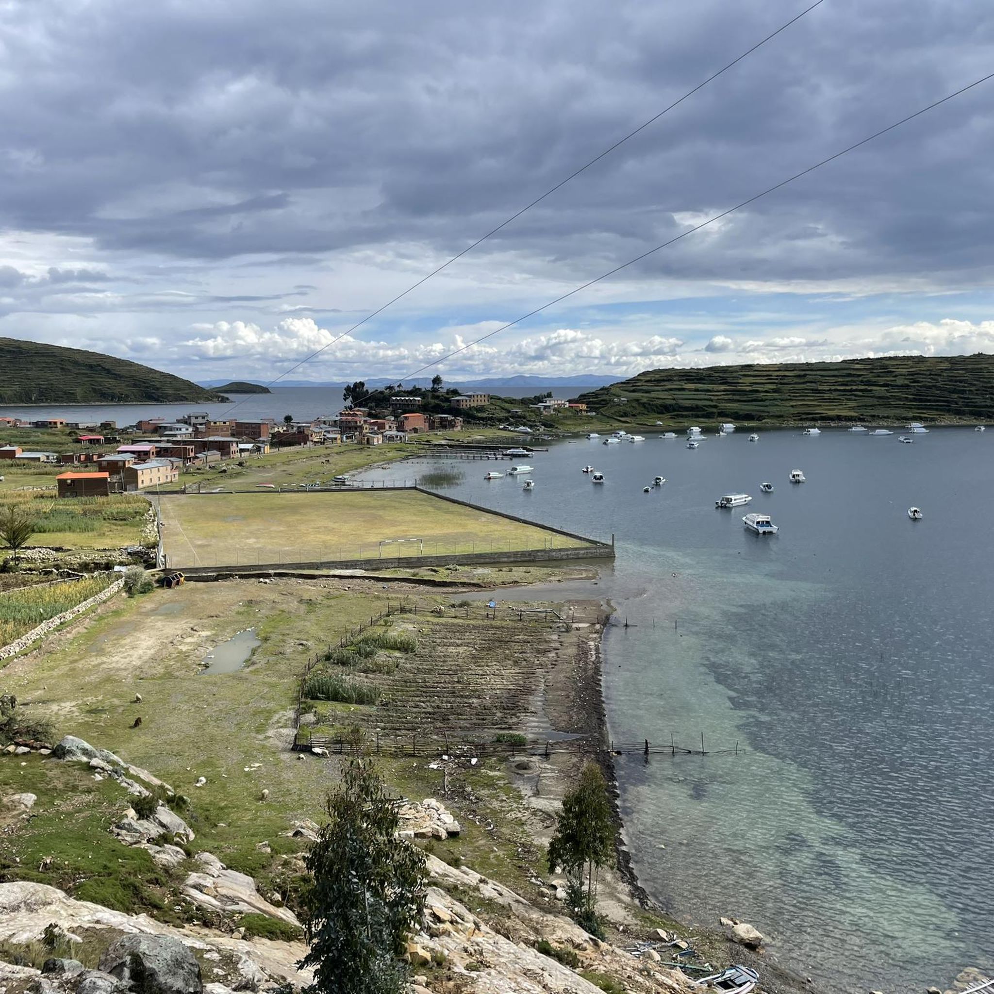
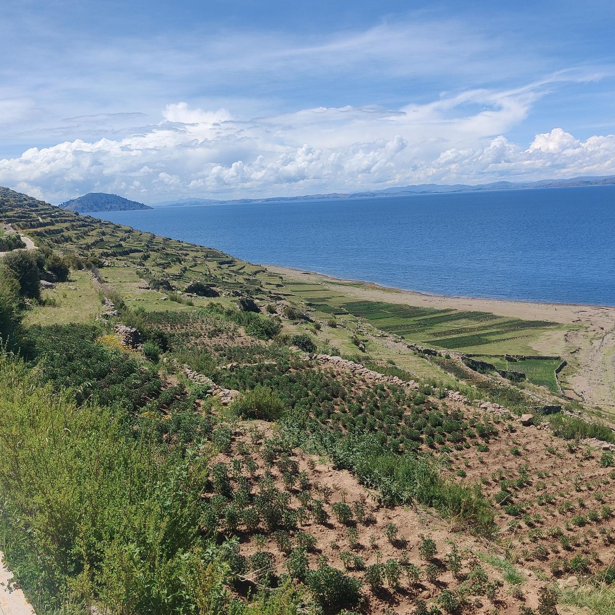
Even though the climb is quite arduous due to the unusual altitude, it's worth it. A magnificent panorama of Lake Titicaca opens up.
0
0

A beautiful path has been created on the ridge, and the turnoff with a kiosk towers over the island.
1
0
If you don't know that you are almost 4000m above sea level, you feel like you are in the Caribbean.
1
0
The Basilica of Our Lady of Copacabana is a 17th-century Spanish colonial shrine that houses the statue of the Virgen de Copacabana. The statue can be rotated; on weekends, it faces the church, and during the week, it can be seen in the Virgin's house on the first floor.
3
0
Copacabana beach is located on a crescent-shaped bay that opens to the northwest and has its own flair. The jetties that extend into the lake look anything but stable, and numerous small boats rock in the cool waters of Lake Titicaca.
3
0
The Way of the Cross was built on this hill in the 1950s when the government decided that Copacabana should have more to offer its thousands of pilgrims than just the Basilica of the Virgin Mary.
2
0

It is better not to go in rainy weather, as the slippery steps of the steep stairs can be dangerous, especially when going down.
0
0
Frequently Asked Questions
What do other hikers enjoy most about hiking in Puno?
Hikers consistently rate Puno's trails highly, with an average score of 4.9 stars from over 70 reviews. They particularly appreciate the unique high-altitude Altiplano landscape, the vastness of Lake Titicaca, and the rugged Andean mountains that define the region's hiking experience.
What kind of terrain can I expect on Puno's hiking trails?
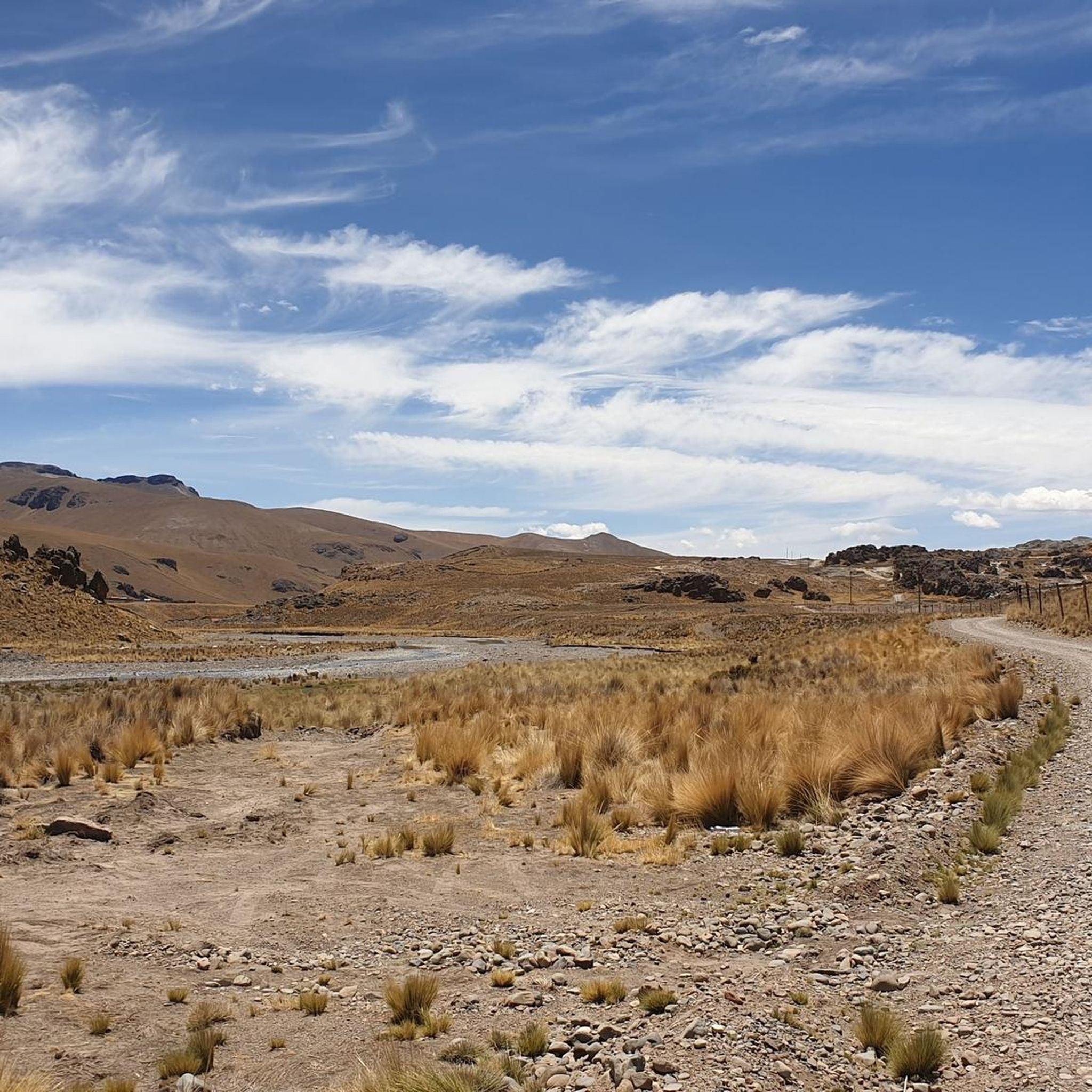
Puno's trails traverse the high-altitude Altiplano, featuring vast Andean grasslands, rugged mountains, and unique rock formations. Many routes offer stunning views along the shoreline of Lake Titicaca, the highest navigable lake in the world. Expect diverse conditions, from gentle paths to more challenging, rocky ascents.
Are there any easy or beginner-friendly hikes in Puno?
Yes, there are options suitable for various fitness levels. An easy route is the Cerro Calvario – Plaza 2 de Febrero, Copacabana loop from Copacabana, which is 5.7 km long and takes about 1 hour 50 minutes. This trail offers a mix of urban and natural landscapes.
What are some notable landmarks or viewpoints I can visit while hiking in Puno?
Puno offers several impressive landmarks and viewpoints. You can explore the pre-Inca burial site of Sillustani Archaeological Complex with its chullpas, or visit the unique Uros Floating Islands. For panoramic views, consider hiking to the peaks of Amantani Island or Taquile Island, or viewpoints within Puno like Kuntur Wasi and Puma Uta.
What is the best time of year to go hiking in Puno?
The dry season, typically from May to October, is ideal for hiking in Puno. During this period, you can expect clear skies and stunning views, with daytime temperatures ranging from 15°C to 20°C. This weather is perfect for exploring the trails around Lake Titicaca and the broader Altiplano.
Are there any circular hiking routes in Puno?
Yes, Puno features several circular routes. A moderate option is the View of Lake Titicaca – Carus Summit Cross loop from Hospedaje casa simion, which is 8.5 km long and provides expansive views of Lake Titicaca. For a more challenging loop, consider the Playa de las Sirenas – Cerro Santa Barbara Junction loop from Isla del Sol.
Are there any family-friendly hiking options in Puno?
While many trails in Puno are at high altitude and can be challenging, some shorter, less strenuous paths are suitable for families. The Cerro Calvario – Plaza 2 de Febrero, Copacabana loop from Copacabana is an easier option that can be enjoyed by families looking for a shorter walk with scenic views.
What should I know about the high altitude when planning a hike in Puno?
Puno is situated on the Altiplano at over 12,000 feet above sea level. It is crucial to allow time for acclimatization before undertaking strenuous activities. Start with shorter, easier hikes and stay hydrated to help your body adjust to the altitude.
Can I spot wildlife while hiking in Puno?
The unique Altiplano ecosystem around Puno is home to diverse flora and fauna. While hiking, you might encounter llamas, alpacas, vicuñas, and various bird species, including Andean condors and flamingos, especially in the wetlands surrounding Lake Titicaca.
Are there any unique natural features to explore beyond Lake Titicaca?
Absolutely. Beyond the majestic Lake Titicaca, you can discover the Macusani Stone Forest, an impressive natural area with rock formations sculpted by wind erosion, some resembling human and animal figures. Further afield, Tinajani Canyon boasts giant formations of reddish stone, offering a surreal and mystical atmosphere for adventurers.
Are there any hiking trails that offer views of Lake Titicaca?
Many trails in Puno offer spectacular views of Lake Titicaca. The View of Lake Titicaca – Carus Summit Cross loop from Hospedaje casa simion is specifically designed to provide expansive lake views. Additionally, hikes on Taquile Island and Amantani Island offer sweeping vistas from their peaks.
Most popular routes in Puno
Most popular attractions in Puno

Get inspired with the komoot mobile app


Didn’t find what you were looking for?
Check out more Hikes throughout Puno below and find the perfect route in your destination.
Explore more
Browse the best Hikes in other regions.
