The best running trails in Michoacán
5.0
(5)
118
runners
14
runs
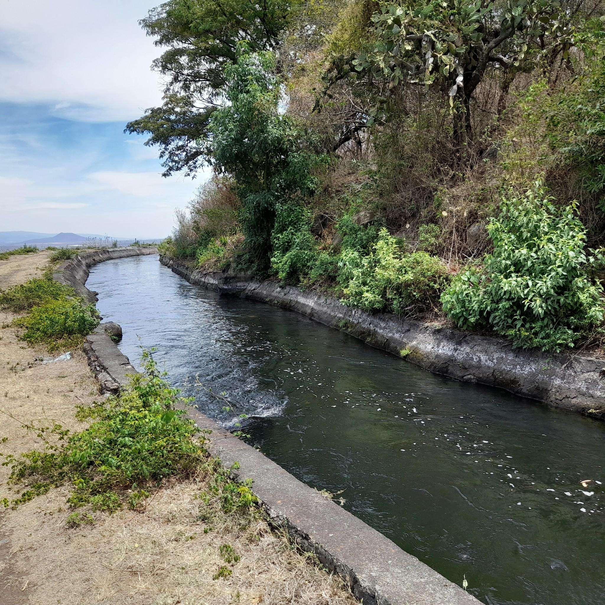
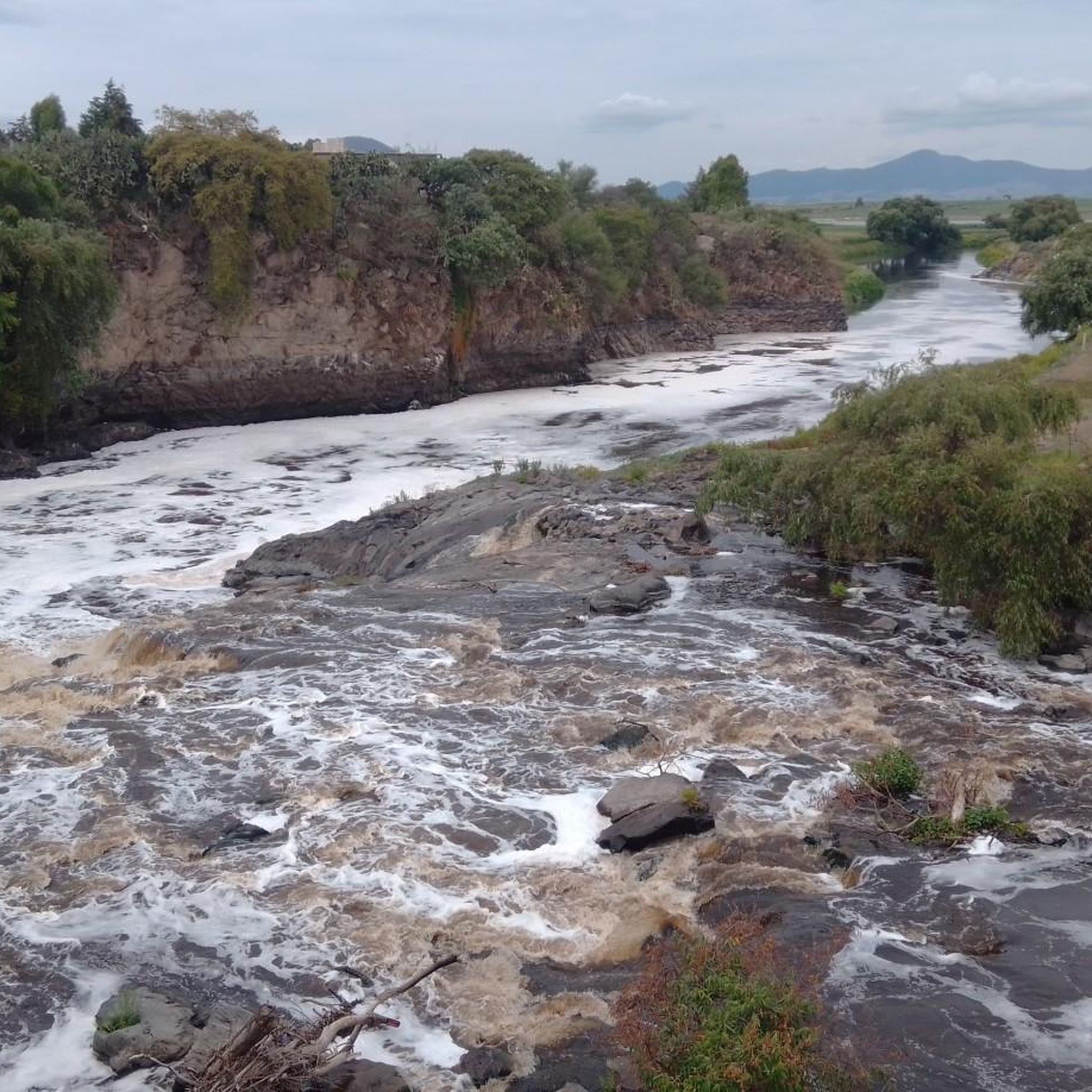
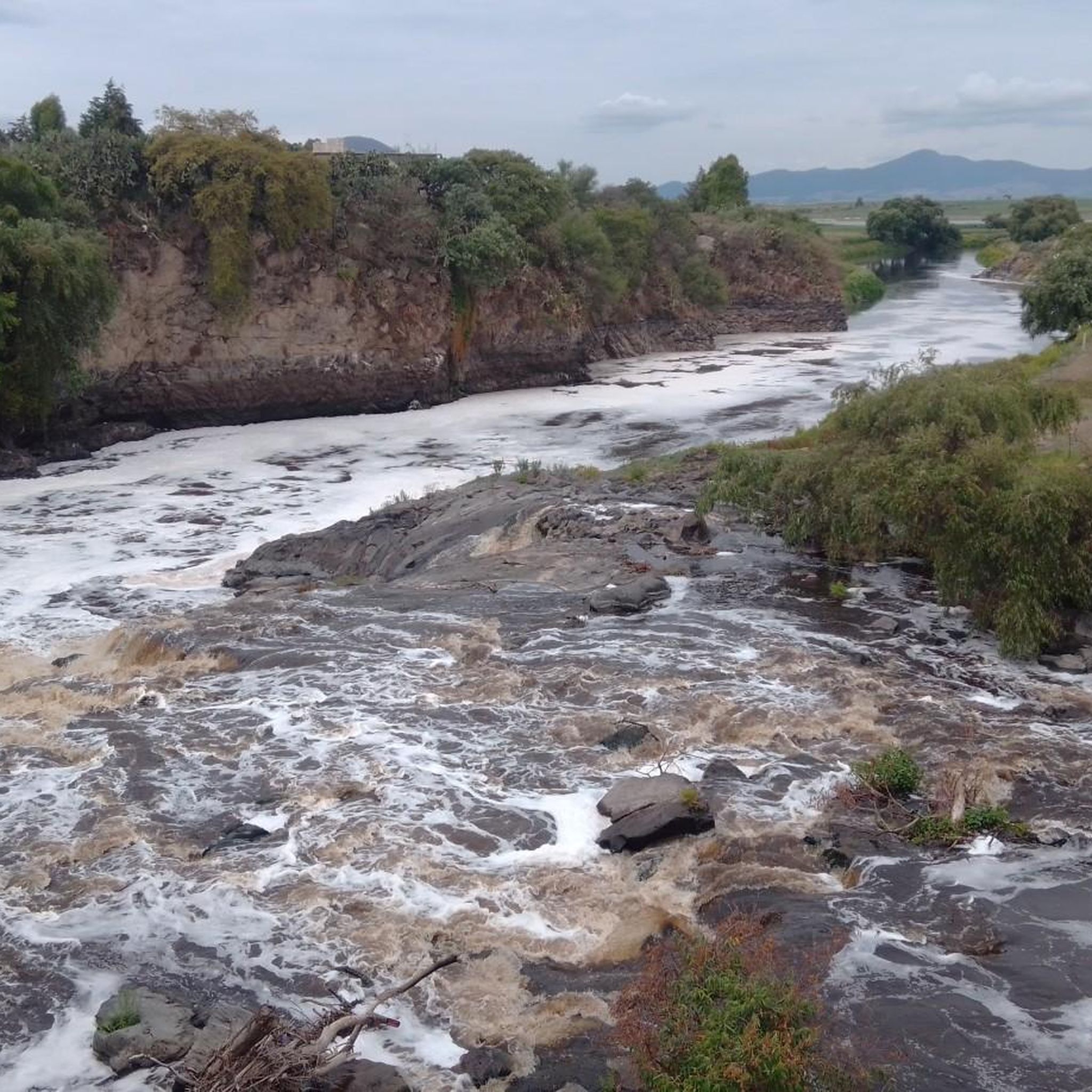
Jogging in Michoacán offers diverse landscapes for runners. The region is characterized by mountainous terrain from the Sierra Madre Occidental and the Trans-Mexican Volcanic Belt, featuring forests of pine, oak, and oyamel trees. Numerous lakes and rivers, such as Lake Pátzcuaro and Lake Zirahuén, provide scenic routes. Volcanic formations also contribute to the varied natural features available for running.
Best jogging routes in Michoacán
- The most popular jogging route is Fuente Villalongin loop from Morelia, a 6.4 miles (10.2…
Last updated: August 15, 2026
5.0
(1)
26
runners
10.2km
01:04
50m
50m
Moderate run. Good fitness required. Mostly paved surfaces. Suitable for all skill levels.
19
runners
11.1km
01:12
190m
190m
Moderate run. Good fitness required. Mostly paved surfaces. Suitable for all skill levels.

Sign up for free
17
runners
8.27km
00:51
30m
30m
Moderate run. Good fitness required. Mostly paved surfaces. Suitable for all skill levels.
8
runners
Moderate run. Good fitness required. Mostly paved surfaces. Suitable for all skill levels.
10
runners
18.1km
01:52
100m
100m
Hard run. Very good fitness required. Mostly paved surfaces. Suitable for all skill levels.
5.0
(2)
6
runners
Hard run. Very good fitness required. Mostly paved surfaces. Suitable for all skill levels.
8
runners
6.19km
00:39
80m
80m
Moderate run. Good fitness required. Mostly paved surfaces. Suitable for all skill levels.
4
runners
17.6km
01:54
250m
250m
Hard run. Very good fitness required. Mostly paved surfaces. Suitable for all skill levels.
5
runners
4.50km
00:29
70m
70m
Easy run. Great for any fitness level. Mostly paved surfaces. Suitable for all skill levels.
4
runners
9.45km
00:59
40m
40m
Moderate run. Good fitness required. Mostly paved surfaces. Suitable for all skill levels.
Get access to more routes and recommendations from other explorers.
Sign up for free
Already have an account?
Our route recommendations are based on thousands of hikes, rides, and runs completed by other people on komoot.
Start today with a free account
Your next adventure awaits.
Login or Signup


Tips from the Community

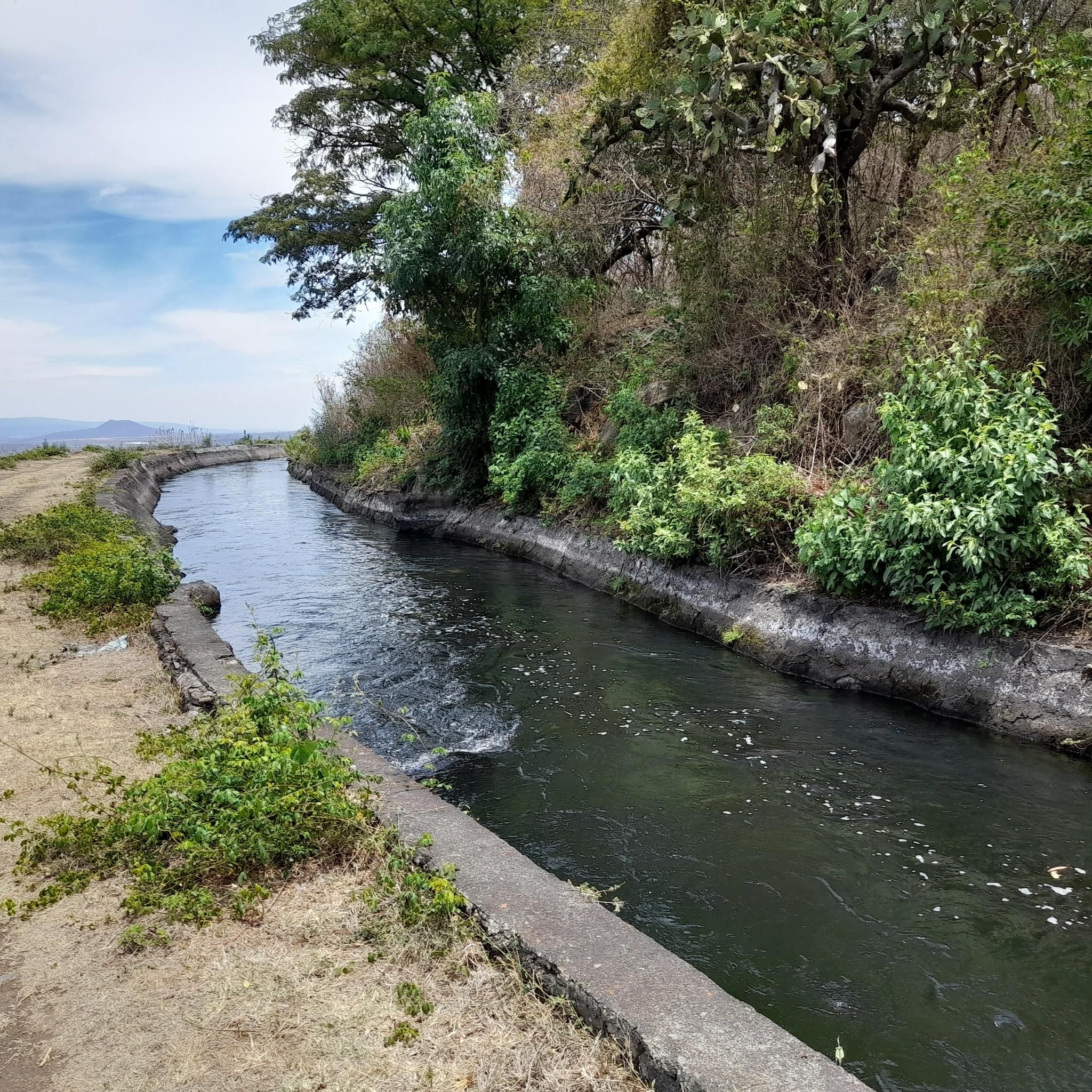
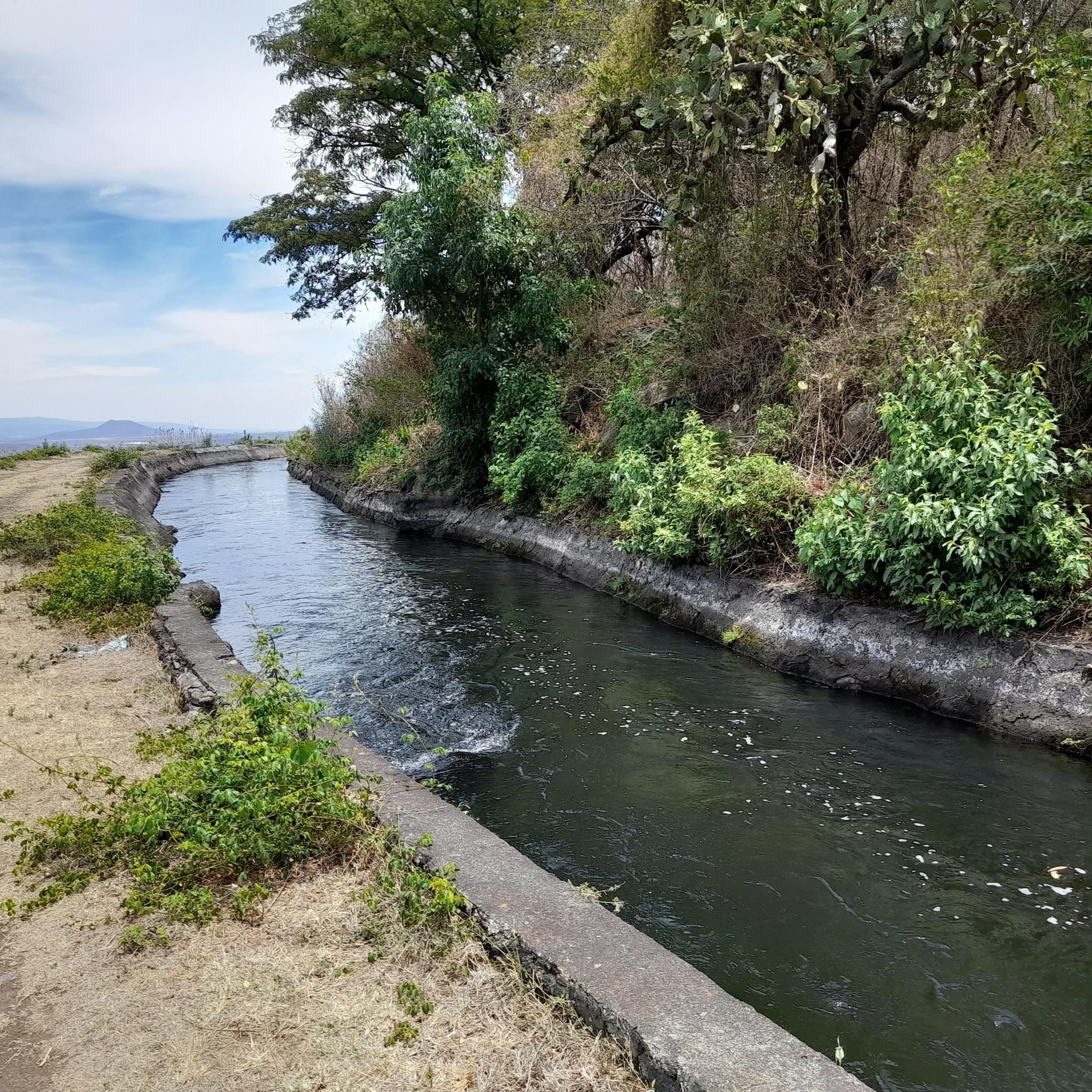
take it easy because the slope is difficult
0
0
Frequently Asked Questions
How many running routes are available in Michoacán on komoot?
Komoot features over a dozen running routes in Michoacán, offering a variety of options for different skill levels. You'll find everything from easy jogs to more challenging trail runs, with 1 easy, 9 moderate, and 4 difficult routes to explore.
What kind of terrain can I expect when jogging in Michoacán?
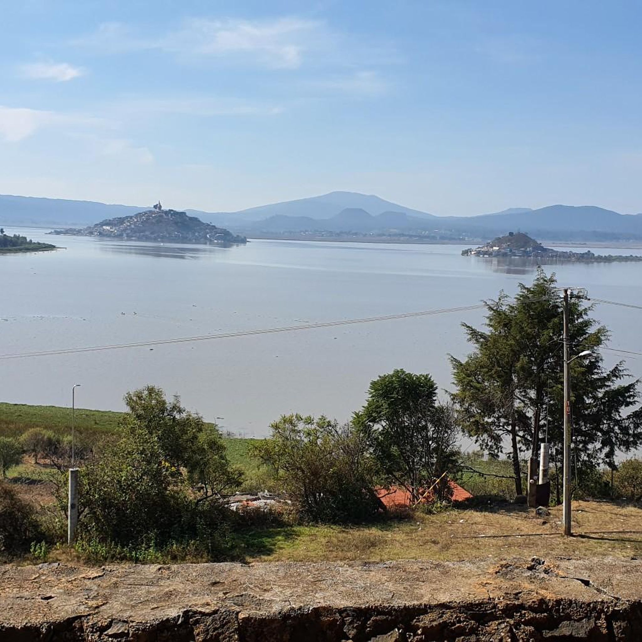
Michoacán offers incredibly diverse terrain for runners. You can expect mountainous regions from the Sierra Madre Occidental and the Trans-Mexican Volcanic Belt, lush forests of pine, oak, and oyamel trees, and serene routes along lakes like Pátzcuaro and Zirahuén. Volcanic landscapes also contribute to the unique natural features you'll encounter.
Are there any easy running routes suitable for beginners in Michoacán?
Yes, there is at least one easy running route available. For a gentle introduction to jogging in the region, consider the Running loop from Fraccionamiento Villas Amealco, which is 4.5 km long and offers a pleasant experience for those new to running or looking for a relaxed pace.
What are some challenging running trails in Michoacán for experienced runners?
For experienced runners seeking a challenge, Michoacán has several difficult routes. The Sube Sube Hill – El Venado loop from Parada Plaza Morelia is a demanding 16.8 km trail with significant elevation gain, perfect for a strenuous workout. Another option is the Running loop from Zirahuén, a 17.6 km route that provides a good test of endurance.
Are there running routes that offer scenic views or pass by natural landmarks?
Absolutely. Michoacán is rich in natural beauty. Many routes offer stunning views of the region's mountains and forests. For example, the area around Lake Zirahuén provides picturesque settings. While not directly on a komoot route, the Barranca del Cupatitzio National Park in Uruapan is known for its spectacular waterfalls and lush trails, which are excellent for exploring on foot.
What do other runners enjoy most about jogging in Michoacán?
The running routes in Michoacán are highly rated by the komoot community, with an average score of 5.0 stars from 5 reviews. Runners often praise the varied terrain, the beautiful natural surroundings, and the opportunity to explore both urban and natural landscapes. Over 100 runners have used komoot to discover the region's trails.
Are there any running routes near Morelia?
Yes, the city of Morelia serves as a starting point for several popular running routes. These include the Fuente Villalongin loop from Morelia, a moderate 10.2 km trail, and the Fuente Villalongin – Cúpula de Acueducto loop from Morelia, an 8.3 km route that takes you through urban and historical landscapes.
Are there any loop running trails in Michoacán?
Many of the running routes in Michoacán are designed as loops, offering convenient starts and finishes. Popular loop options include the Running loop from Jesús del Monte, a moderate 11.1 km path, and the Fuente la Paloma – Fuente loop from Estadio Olímpico Venustiano Carranza, which is 13.1 km long.
What is the best season for running in Michoacán?
Michoacán's climate varies by elevation, but generally, the dry season from November to May offers pleasant conditions for running, with cooler temperatures in the mountainous areas. The rainy season (June to October) brings lush greenery but can also mean humid conditions and occasional heavy showers, especially in the afternoons.
Are there any running routes that are less crowded?
While specific crowd levels can vary, routes that venture further into the natural parks and less urbanized areas are generally less crowded. Exploring trails in the Sierra Madre Occidental or near smaller lakes like Zirahuén might offer a more tranquil running experience compared to routes closer to Morelia's city center.
What kind of flora and fauna might I encounter on Michoacán's running trails?
Michoacán's diverse ecosystems mean you could encounter a variety of flora and fauna. In the mountainous forests, you'll see pine, oak, and oyamel trees. The region is also famous for the Monarch Butterfly Biosphere Reserve, where millions of monarch butterflies overwinter. Along lakeshores, you might spot various bird species. Always observe wildlife from a respectful distance.
Are there any long-distance running routes in Michoacán?
Yes, for those looking for longer distances, Michoacán offers several options. The Running loop from Barrio de Santiago is a difficult 23.7 km route, providing a substantial challenge for long-distance runners. Other routes like the Running loop from Zirahuén also offer significant mileage.

Get inspired with the komoot mobile app


Didn’t find what you were looking for?
Check out more Running Trails & Routes throughout Michoacán below and find the perfect route in your destination.
Explore more
Browse the best Running Trails & Routes in other regions.
