The best walks and hikes in Rio Grande Do Sul
17
hikers
5
hikes
Hiking in Rio Grande Do Sul offers diverse landscapes, from rolling hills and green plains to coastal lagoons and the highlands of the Serra Gaúcha mountain range. The region features dramatic canyons within Aparados da Serra and Serra Geral National Parks, including Itaimbezinho Canyon with its impressive cliffs and waterfalls. Hikers can explore various forest types, such as Araucaria forests, and experience the unique Pampa region or coastal areas with rock formations and beaches.
Best hiking trails in Rio Grande…
Last updated: July 10, 2026
8
hikers
8.04km
02:05
40m
40m
Moderate hike. Good fitness required. Easily-accessible paths. Suitable for all skill levels.
1
hikers
8.51km
02:21
140m
140m
Moderate hike. Good fitness required. Easily-accessible paths. Suitable for all skill levels.

Sign up for free
2
hikers
4.71km
01:11
10m
10m
Easy hike. Great for any fitness level. Easily-accessible paths. Suitable for all skill levels.
4
hikers
6.89km
01:48
50m
50m
Easy hike. Great for any fitness level. Easily-accessible paths. Suitable for all skill levels.
2
hikers
4.27km
01:07
40m
40m
Easy hike. Great for any fitness level. Easily-accessible paths. Suitable for all skill levels.
Our route recommendations are based on thousands of hikes, rides, and runs completed by other people on komoot.
Start today with a free account
Your next adventure awaits.
Login or Signup
Frequently Asked Questions
What kind of terrain can I expect when hiking in Rio Grande Do Sul?
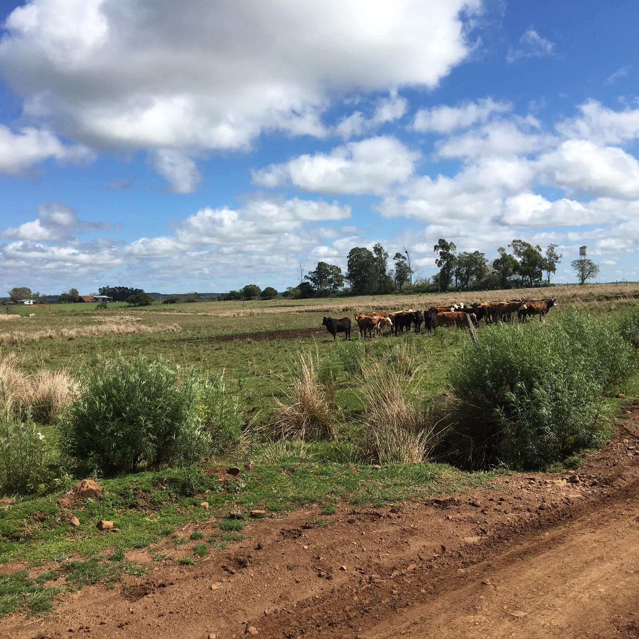
Rio Grande Do Sul offers a diverse range of terrains. You'll find everything from the rolling hills and grasslands of the Pampa region to the dramatic canyons of Aparados da Serra and Serra Geral National Parks. Coastal paths near Torres and Tramandaí provide ocean views, while the Serra Gaúcha highlands feature mountainous landscapes and picturesque vineyards. The region also boasts various forest types, including ancient Araucaria forests and fragments of the Brazilian Atlantic Forest.
Are there any easy hiking trails suitable for beginners or families?
Yes, Rio Grande Do Sul has several easy trails perfect for beginners or families. For a pleasant coastal walk, consider the Praia de Tramandaí – CTG Potreiro Grande loop from Centro, which is about 2.9 miles (4.7 km) long. Another easy option is the Praia da Cal loop from Torres, offering scenic views along the coast. The Lago Batuva loop from Planalto is also an easy 2.6-mile (4.3 km) route.
Can I find trails with waterfalls in Rio Grande Do Sul?
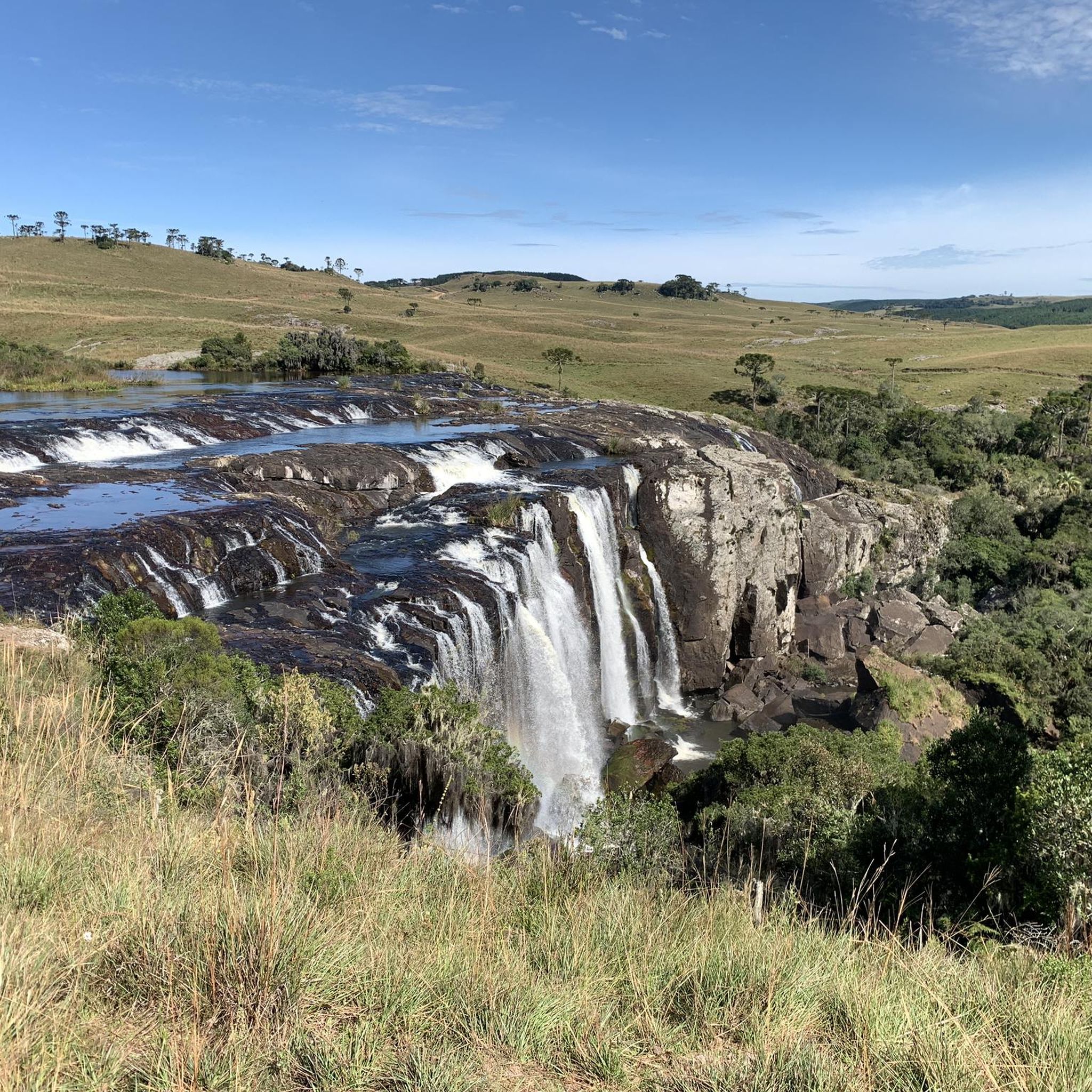
Absolutely. Rio Grande Do Sul is home to several stunning waterfalls. The most famous is Cascata do Caracol in Caracol State Park, a massive cascade plunging 430 feet. Another spectacular natural wonder is Salto do Yucumã, the world's largest longitudinal waterfall, located in Derrubadas. For multiple waterfall experiences, the Parque das 8 Cachoeiras in Vacaria offers numerous cascades and trails.
What are the best times of year to go hiking in Rio Grande Do Sul?
The best time to hike in Rio Grande Do Sul generally depends on the specific region and your preferences. The spring (September to November) and autumn (March to May) offer milder temperatures, making them ideal for exploring. Summers (December to February) can be hot, especially in coastal areas, while winters (June to August) bring cooler temperatures, particularly in the Serra Gaúcha highlands, which can be pleasant for hiking.
Are there any notable landmarks or viewpoints along the hiking routes?
Rio Grande Do Sul is rich in natural landmarks and viewpoints. The colossal Itaimbezinho Canyon within Aparados da Serra National Park offers impressive cliffs and panoramic vistas. Along the coast, areas like Torres feature unique rock formations and pristine beaches. For breathtaking mountain views, Pico da Montanha is a popular spot for avid hikers in the Serra Gaúcha region.
Are there any loop trails available for hiking?
Yes, several loop trails are available for hikers. For a coastal experience, consider the Prainha loop from Torres, a moderate 5.0-mile (8.0 km) route. Another popular option is the Hiking loop from Pontifical Catholic University of Rio Grande do Sul, a moderate 5.8-mile (9.4 km) path offering varied terrain.
What is the typical duration for hikes in Rio Grande Do Sul?
The duration of hikes in Rio Grande Do Sul varies significantly depending on the trail's length and difficulty. Easy routes like the Praia de Tramandaí – CTG Potreiro Grande loop from Centro can be completed in about 1 hour 10 minutes. Moderate trails, such as the Prainha loop from Torres, typically take around 2 hours 5 minutes. Longer or more challenging routes in national parks could require several hours or even a full day.
What do other hikers say about the trails in Rio Grande Do Sul?
Hikers exploring Rio Grande Do Sul often praise the region's diverse landscapes, from coastal paths to dramatic canyons and lush forests. The komoot community has used these routes to discover the varied terrain, highlighting the unique natural beauty of Brazil's southernmost state.
Are there specific areas known for their forests and unique flora?
Yes, Rio Grande Do Sul is notable for its diverse forest types. The Araucaria forests are a prominent feature, especially around areas like São Francisco de Paula and within Aparados da Serra National Park. Trails like the Caminho das Araucárias allow hikers to experience these ancient forests and observe unique flora. Additionally, fragments of the Brazilian Atlantic Forest are present, contributing to the region's rich biodiversity.
Are there any hiking opportunities in the Serra Gaúcha region?
The Serra Gaúcha is a major draw for hikers. This highland region is known for its picturesque vineyards, charming towns like Gramado and Canela, and scenic trails amidst breathtaking mountain views. These towns serve as excellent starting points for exploring the natural surroundings, offering a blend of cultural experiences and outdoor adventures.
What kind of wildlife might I encounter on the trails?
The diverse ecosystems of Rio Grande Do Sul support various wildlife. In the canyons of Aparados da Serra, you might spot woodpeckers, hawks, and wildcats. The Araucaria forests and fragments of the Atlantic Forest are home to a rich array of birds and other forest creatures. Keep an eye out for local fauna, especially in the more secluded national parks and natural areas.
Are there any multi-day trekking options in Rio Grande Do Sul?
While this guide focuses on day hikes, the extensive national parks like Aparados da Serra and Serra Geral offer potential for multi-day trekking, especially for those looking to explore the vast canyon systems. These longer expeditions often require more planning, including permits and potentially guides, to navigate the more remote areas.
Most popular routes in Rio Grande Do Sul

Get inspired with the komoot mobile app


Explore more
Browse the best Hikes in other regions.
