The best walks and hikes in Santa Cruz
4.7
(21)
54
hikers
3
hikes
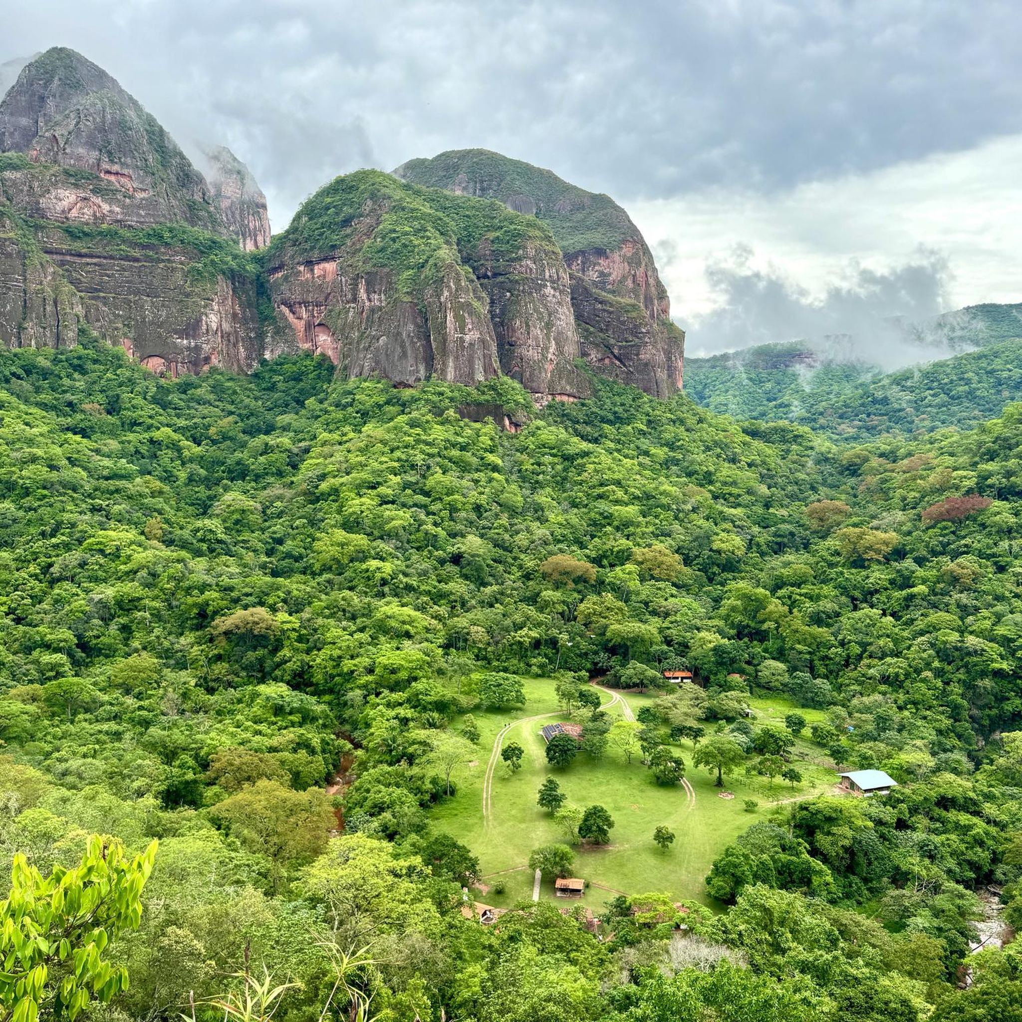
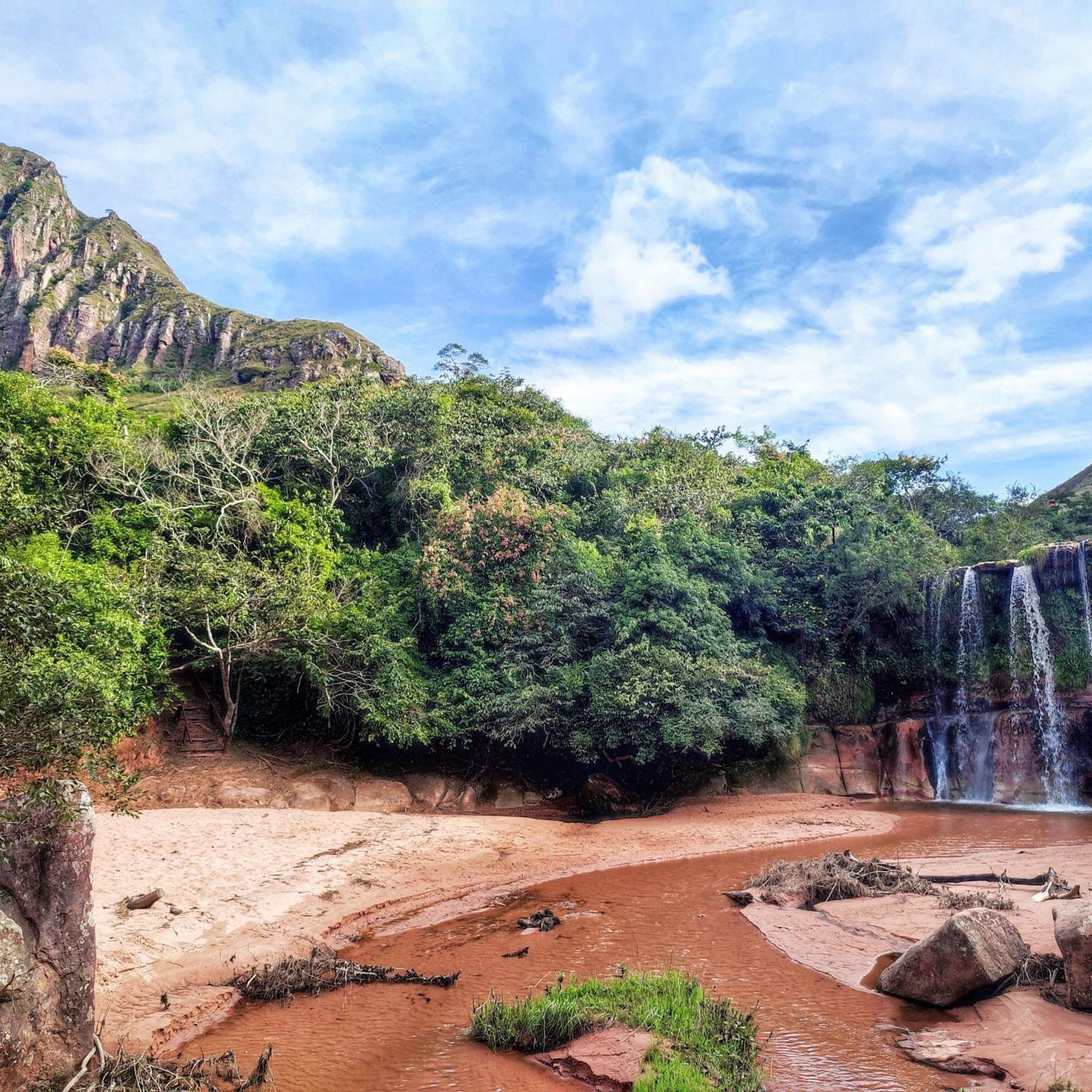
Hiking in Santa Cruz, Bolivia, offers a range of trails through varied natural landscapes. The region features paths that traverse open terrain and lead to elevated viewpoints. Hikers can explore areas with moderate elevation changes and discover local natural features. The diverse topography provides opportunities for different levels of hiking experience.
Best hiking trails in Santa Cruz
- The most popular hiking route is View of Samaipata loop from Samaipata, a 6.9 miles (11.1 km) trail that takes 3 hours…
Last updated: July 10, 2026
4.2
(16)
43
hikers
11.1km
03:28
410m
400m
Moderate hike. Good fitness required. Easily-accessible paths. Suitable for all skill levels.
5.0
(3)
3
hikers
11.0km
02:57
130m
130m
Moderate hike. Good fitness required. Easily-accessible paths. Suitable for all skill levels.

Sign up for free
5.0
(3)
9
hikers
2.51km
00:57
170m
170m
Easy hike. Great for any fitness level. Easily-accessible paths. Suitable for all skill levels.
Our route recommendations are based on thousands of hikes, rides, and runs completed by other people on komoot.
Start today with a free account
Your next adventure awaits.
Login or Signup
Popular around Santa Cruz
Tips from the Community

Seeing the photos I remembered Porongo, the church. Enjoy your stay in Bolivia💪👍
0
0

The route did deviate a bit and we had to go under the barbed wire once. But a really beautiful route
0
0
A beautiful glimpse into the landscape of this area. Wealthy people also live in Samaipata. The surroundings of their houses are sometimes the size of a park.
0
0


At the foot of the Mirador there is an upward crevice in the rock.
0
0
A T2 difficulty hike. The path is 2/3 shaded. Still, enough water is a must.
0
0
Frequently Asked Questions
How many hiking trails are available in Santa Cruz?
Santa Cruz offers a selection of hiking trails, with 3 routes currently detailed in this guide. These include options ranging from easy strolls to more moderate hikes.
What kind of terrain can I expect on Santa Cruz hiking trails?
The hiking trails in Santa Cruz feature varied terrain, including paths that traverse open landscapes and lead to elevated viewpoints. You can expect moderate elevation changes, offering diverse experiences for different skill levels.
Are there any easy hiking routes in Santa Cruz suitable for beginners?
Yes, there is an easy hiking route available. The Hiking loop from Estacionamiento Mirador de Santiago is a 2.5 km trail that can be completed in under an hour, making it ideal for a relaxed walk.
What are some notable landmarks or viewpoints I can discover while hiking in Santa Cruz?
Hikers in Santa Cruz can enjoy several scenic viewpoints and landmarks. You might encounter the Viewpoint at Fuerte de Samaipata, offering historical context and panoramic views, or the View of Samaipata and the Mountains. Another highlight is the Viewpoint of Santiago de Chiquitos and Tucabaca Valley, providing expansive vistas of the region.
Are there any long-distance hiking options in Santa Cruz?
While not multi-day treks, Santa Cruz offers moderate-length trails. For example, the View of Samaipata loop from Samaipata is 11.1 km long with significant elevation gain, providing a more extended hiking experience.
What do other hikers say about the trails in Santa Cruz?
The hiking routes in Santa Cruz are highly regarded by the komoot community, with an average rating of 4.7 stars from over 20 reviews. Hikers often praise the varied terrain and the scenic viewpoints encountered along the trails.
Are there any circular hiking routes in Santa Cruz?
Yes, several routes in Santa Cruz are designed as loops. For instance, the View of Samaipata loop from Samaipata and the Abandoned Castle – Iglesia de Porongo loop from Porongo both offer circular paths, allowing you to start and end at the same point.
Can I find historical sites along the hiking trails in Santa Cruz?
Yes, some trails incorporate historical elements. The Abandoned Castle – Iglesia de Porongo loop from Porongo specifically explores local historical sites alongside natural surroundings, offering a blend of culture and nature.
Are there any forest areas or unique natural features to explore?
Yes, the region features diverse natural landscapes. You can explore areas with unique natural features such as the Giant Ferns of Amboró National Park, which offers a glimpse into the local forest ecosystems.
What is the elevation gain like on the hiking trails in Santa Cruz?
The trails in Santa Cruz feature varied elevation gains. For example, the View of Samaipata loop from Samaipata has an elevation gain of over 400 meters, while the Abandoned Castle – Iglesia de Porongo loop from Porongo has a more moderate gain of around 128 meters.
Are there any trails that offer panoramic views?
Many trails in Santa Cruz are known for their scenic overlooks. The View of Samaipata loop from Samaipata is particularly noted for its panoramic views, and other routes lead to various viewpoints across the region.
Most popular routes in Santa Cruz
Most popular attractions in Santa Cruz

Get inspired with the komoot mobile app


Explore more
Browse the best Hikes in other regions.
