The best running trails in Cochabamba
5.0
(15)
145
runners
7
runs
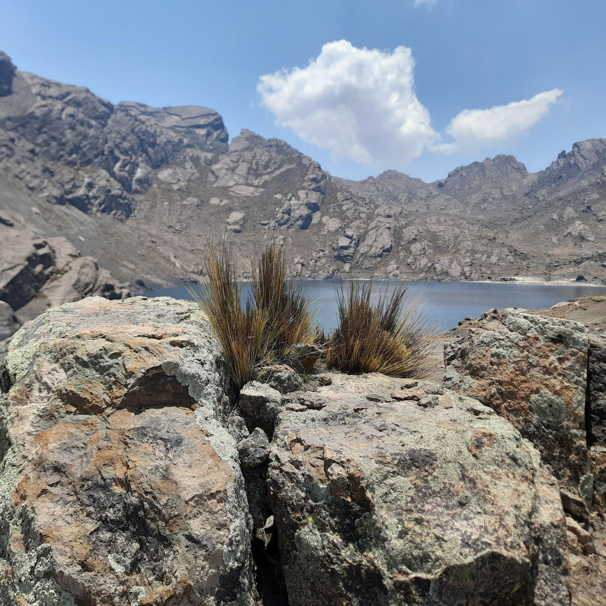
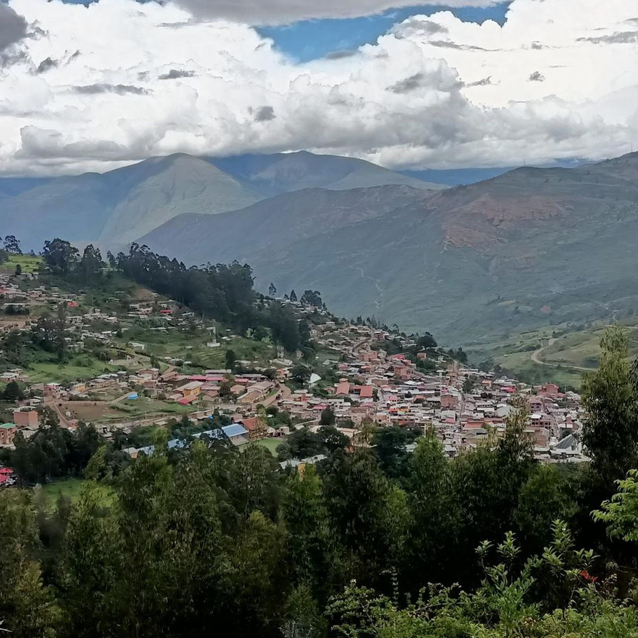
Jogging in Cochabamba offers diverse landscapes, from urban parks to natural lagoons and distant mountain views. The region is situated at an altitude of approximately 8,430 feet (2,570 meters), providing a unique high-altitude running experience. Runners can find routes through green mountains, eucalyptus and pine trees, and along the shores of popular lagoons. The terrain varies from relatively flat paths in city parks to more challenging trails with significant elevation gains.
Best jogging routes in Cochabamba
- The most popular jogging…
Last updated: July 10, 2026
5.0
(6)
37
runners
Moderate run. Good fitness required. Mostly paved surfaces. Suitable for all skill levels.
5.0
(6)
37
runners
7.01km
00:44
30m
30m
Moderate run. Good fitness required. Mostly paved surfaces. Suitable for all skill levels.

Sign up for free
27
runners
6.33km
00:39
20m
20m
Moderate run. Good fitness required. Mostly paved surfaces. Suitable for all skill levels.
5.0
(1)
27
runners
13.0km
01:24
140m
140m
Hard run. Good fitness required. Sure-footedness, sturdy shoes and alpine experience required.
11
runners
6.76km
00:42
30m
30m
Moderate run. Good fitness required. Mostly paved surfaces. Suitable for all skill levels.
5.0
(1)
12
runners
20.7km
02:11
160m
160m
Hard run. Very good fitness required. Sure-footedness, sturdy shoes and alpine experience required.
5.0
(1)
6
runners
5.70km
00:45
260m
250m
Hard run. Good fitness required. Sure-footedness, sturdy shoes and alpine experience required.
Our route recommendations are based on thousands of hikes, rides, and runs completed by other people on komoot.
Start today with a free account
Your next adventure awaits.
Login or Signup




Tips from the Community

Bring a patching kit, there are many espinoza on the route.
0
0

Frequently Asked Questions
What kind of terrain can I expect on running trails in Cochabamba?
Cochabamba offers a diverse range of running terrains. You'll find relatively flat paths in city parks and around lagoons like Laguna Alalay, as well as more challenging trails with significant elevation gains, especially as you venture towards the green mountains and areas like Tunari National Park. The city itself is at an altitude of approximately 2,570 meters (8,430 feet), which adds a unique dimension to any run.
Are there any running routes around Laguna Alalay?
Yes, Laguna Alalay is a very popular spot for runners. A great option is the Mirador de aves La Rinconada – Mirador de aves NorEste loop from Área de Protección Ambiental Laguna Alalay, which is a moderate 9.2 km (5.7 miles) route. The lagoon area features a recovered running track and is particularly busy on Sundays.
Can I run at the Estadio Sudamericano Félix Capriles?
Yes, the Estadio Sudamericano Félix Capriles offers running loops, and its athletics track is generally accessible for runners when no games or events are taking place. You can explore the area with the Running loop from Estadio Sudamericano Félix Capriles, a moderate 6.3 km (3.9 miles) route.
Are there any long-distance running options in Cochabamba?
For those looking for a longer run, the Bosquecillo Fidel Anze Soria loop from Jardinera Circunvalación is an excellent choice. This route covers 21.3 km (13.2 miles) through parkland and is considered difficult due to its length and some elevation changes, typically taking over two hours to complete.
What are some notable landmarks or viewpoints I might see while jogging?
Many routes offer scenic views. The iconic Cristo de la Concordia statue, located atop San Pedro Hill, provides stunning panoramic views of the city and distant Tunari National Park. While the ascent involves many steps, some routes might offer glimpses of it or the surrounding landscapes. You can also find beautiful natural features like the Molinos Waterfall in the broader region.
Are there family-friendly running paths in Cochabamba?
Yes, several urban parks and lagoon areas are suitable for families. Laguna Alalay and Coña Coña Lagoon both offer relatively flat, recovered running tracks that are popular on weekends. Parks like Fidel Anze Park also provide pleasant environments for a family run or walk.
What is the best time of year for jogging in Cochabamba?
Cochabamba generally experiences a dry season from May to October, characterized by sunny days and cooler temperatures, which can be ideal for running. The rainy season, from November to April, brings warmer temperatures and occasional downpours, which might make some trails muddy. Always check local weather forecasts before heading out.
Are there any dog-friendly running areas in Cochabamba?
While specific regulations for dogs on all running routes can vary, many of Cochabamba's larger parks and open spaces, such as those around Laguna Alalay and Fidel Anze Park, are popular with dog owners. It's always advisable to keep dogs on a leash and clean up after them, respecting local park rules and other users.
What do other runners say about the jogging routes in Cochabamba?
The running routes in Cochabamba are highly regarded by the komoot community, with an average score of 5.0 stars from over 10 reviews. Runners often praise the diverse landscapes, from urban parks to natural lagoons, and the unique experience of running at high altitude. Many appreciate the variety of options available, catering to different fitness levels.
Are there any less crowded running routes or parks?
While popular spots like Laguna Alalay and Lincoln Park can get busy, especially on weekends or late afternoons, exploring routes slightly further from the city center or visiting during off-peak hours might offer a quieter experience. The Running loop from Cochabamba Bolivia Temple, a moderate 6.8 km (4.2 miles) route, could be an option for a more serene run.
What are the options for public transport and parking near popular running spots?
Many popular running areas in Cochabamba, such as Laguna Alalay, Fidel Anze Park, and the Estadio Sudamericano Félix Capriles, are generally accessible by public transport within the city. Parking availability can vary; some parks may have dedicated parking lots, while others might rely on street parking. It's recommended to check local information or use ride-sharing services for convenience.
Most popular routes in Cochabamba
Most popular attractions in Cochabamba

Get inspired with the komoot mobile app


Didn’t find what you were looking for?
Check out more Running Trails & Routes throughout Cochabamba below and find the perfect route in your destination.
Explore more
Browse the best Running Trails & Routes in other regions.
