The best walks and hikes in Jujuy
4.8
(91)
945
hikers
9
hikes
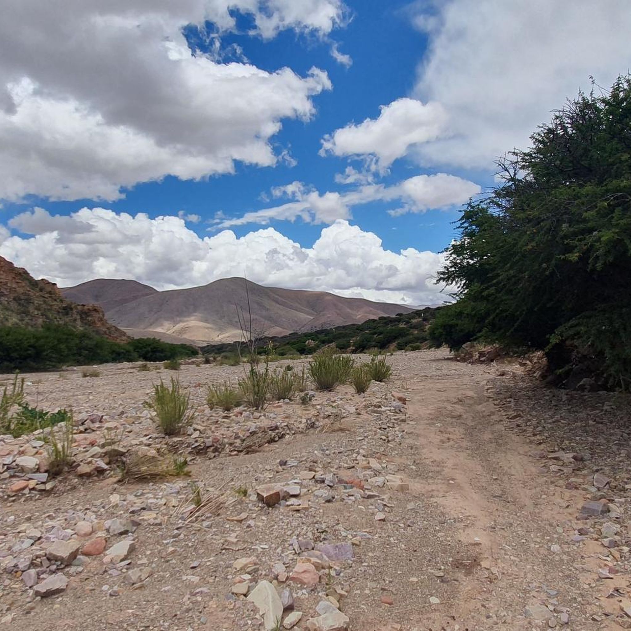
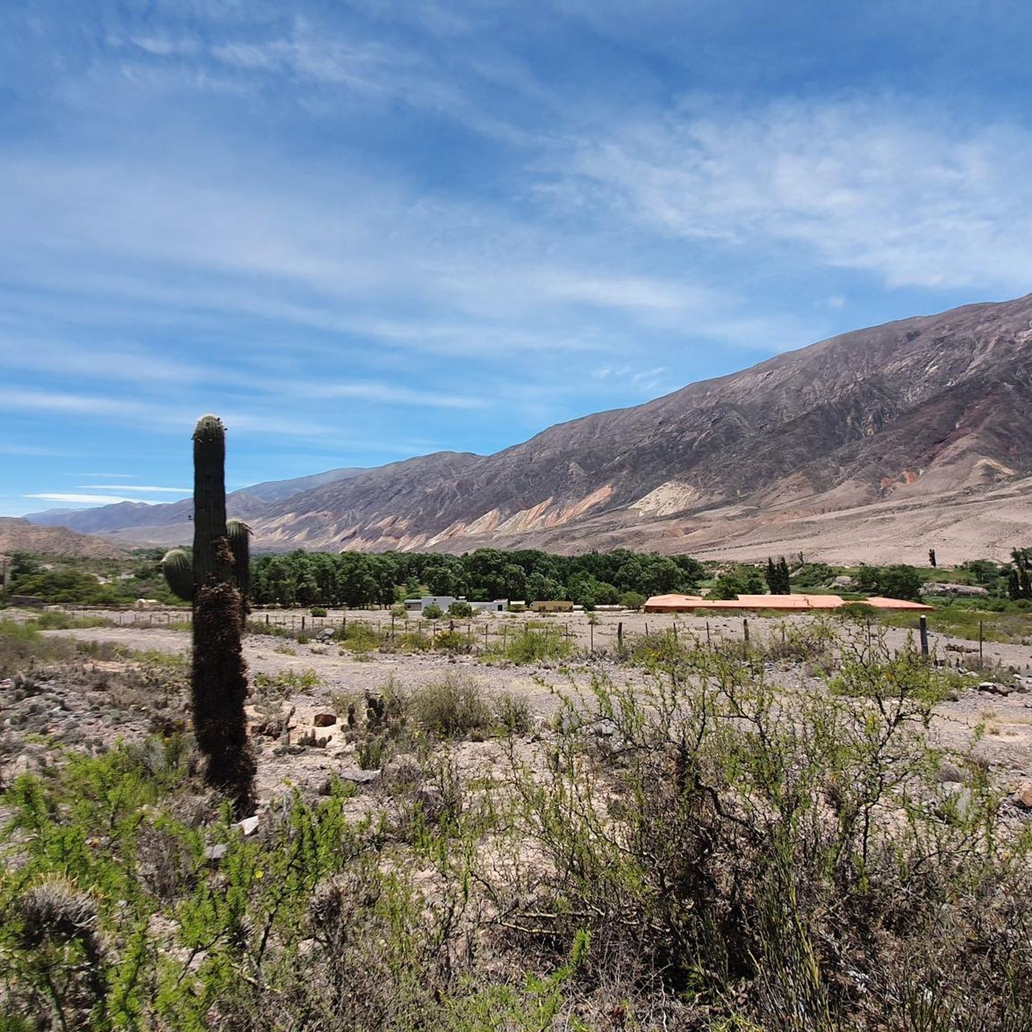
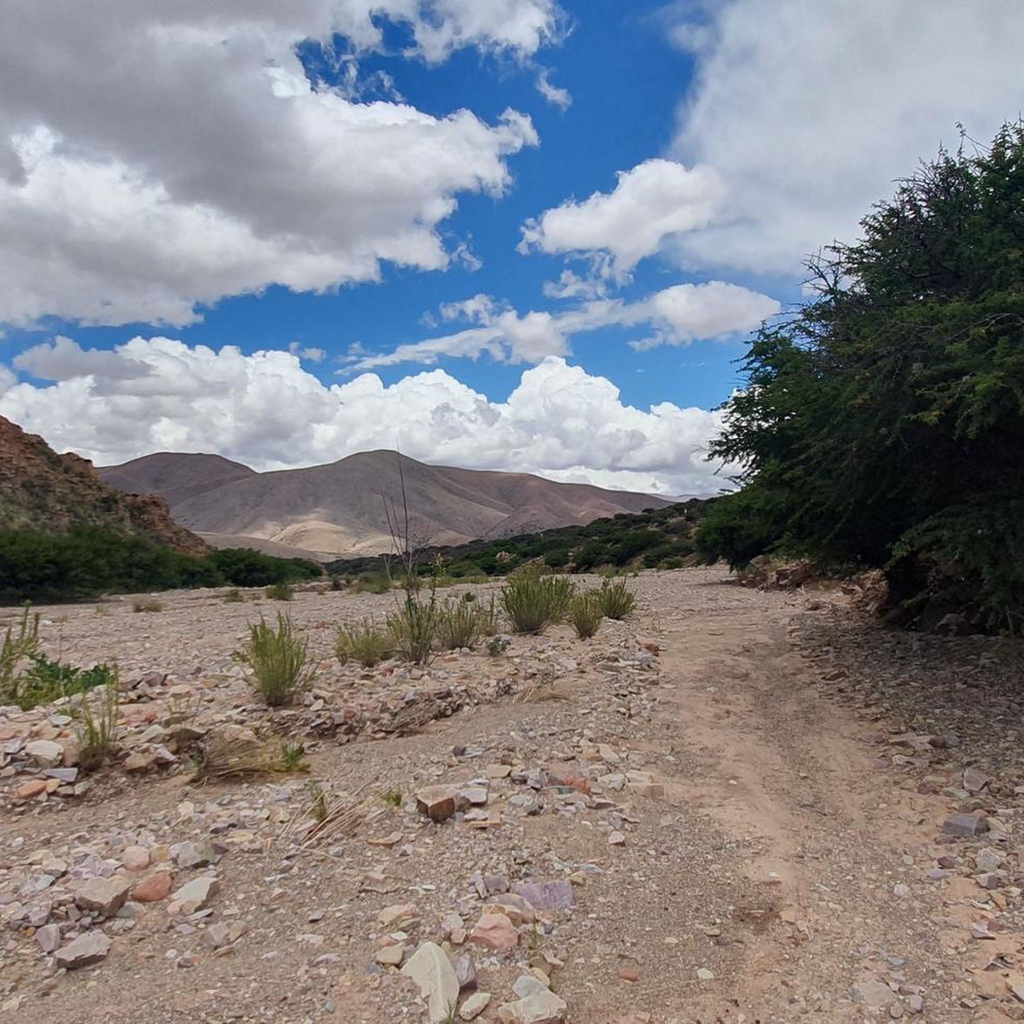
Hiking trails in Jujuy traverse a diverse landscape, from the multi-colored mountains of the Andean scenery to vast salt flats and lush Yungas jungle. The region is characterized by unique geological formations, including dramatic rock formations and colorful hills. Jujuy hiking terrain offers a variety of environments, from arid high-altitude plains to verdant valleys, providing varied experiences for outdoor enthusiasts.
Best hiking trails in Jujuy
- The most popular hiking route is Hill of the Seven Colors – Hill of the Seven Colors loop from Purmamarca, a 2.2 miles (3.6 km) trail that takes 1 hour 4 minutes to complete. This easy route offers views of the iconic Cerro de los Siete Colores.
- Another top favourite among local hikers is Devil's Throat – Garganta del Diablo Waterfall loop from Tilcara, a difficult 6.7 miles (10.8 km) path. This trail leads through a dramatic canyon to a waterfall, showcasing the rugged natural features near Tilcara.
- Local hikers also love the View of Serranía del Hornocal loop from Coctaca, a 0.7 miles (1.1 km) trail leading through the high Andean landscape, often completed in about 21 minutes.
- Hiking in Jujuy is defined by multi-colored mountains, vast salt flats, and lush jungle environments. The network offers options for different ability levels, from short, easy walks to challenging mountain ascents.
- The routes in Jujuy are highly rated by the komoot community with an average score of 4.6 stars from more than 60 reviews. More than 700 hikers have used komoot to explore Jujuy's varied terrain.
Last updated: July 10, 2026
4.9
(45)
420
hikers
3.53km
01:03
110m
110m
Easy hike. Great for any fitness level. Easily-accessible paths. Suitable for all skill levels.
4.8
(29)
248
hikers
10.6km
03:18
410m
410m
Hard hike. Good fitness required. Sure-footedness, sturdy shoes and alpine experience required.

Sign up for free
5.0
(1)
127
hikers
1.09km
00:21
50m
50m
Easy hike. Great for any fitness level. Easily-accessible paths. Suitable for all skill levels.
5.0
(6)
89
hikers
7.99km
02:14
160m
160m
Moderate hike. Good fitness required. Easily-accessible paths. Suitable for all skill levels.
4.5
(6)
26
hikers
4.32km
01:15
110m
110m
Easy hike. Great for any fitness level. Easily-accessible paths. Suitable for all skill levels.
5.0
(1)
4
hikers
3.82km
01:14
170m
170m
Easy hike. Great for any fitness level. Easily-accessible paths. Suitable for all skill levels.
4.0
(1)
18
hikers
Easy hike. Great for any fitness level. Easily-accessible paths. Suitable for all skill levels.
5.0
(1)
6
hikers
5.44km
01:39
180m
180m
Easy hike. Great for any fitness level. Easily-accessible paths. Suitable for all skill levels.
5.0
(1)
7
hikers
Easy hike. Great for any fitness level. Easily-accessible paths. Suitable for all skill levels.
Our route recommendations are based on thousands of hikes, rides, and runs completed by other people on komoot.
Start today with a free account
Your next adventure awaits.
Login or Signup
Popular around Jujuy
Tips from the Community


A good hiking trail leads from Tilcara up to Garganta Dell Diablo. Alternatively, you can drive up a gravel road to the entrance of the gorge. The gorge itself has an entrance fee and ends at a beautiful waterfall.
0
0

The colors of the mountain glow in different shades of pink, purple, yellow and red, which is caused by the presence of different minerals in the rock layers. This natural phenomenon not only offers a unique sight, but also gives you the feeling of moving in an almost surreal landscape. The hike around and up the Cerro de los Siete Colores is easily accessible, and from the viewpoints you have a wonderful view of the village of Purmamarca and the surrounding mountains. A visit is particularly worthwhile in the morning and evening hours, when the light enhances the colors. It feels like walking in a natural open-air museum. A tip: The altitude of the mountain is about 2460 meters, so you should bring plenty of water and take breaks to get used to the thinner air. This place is part of the Quebrada de Humahuaca protected area, which means that certain regulations should be followed to preserve nature.
0
0

It is best to take a taxi from Humahuaca, which is 25 km away. There are toilets, a large tent with souvenir stands and you can buy food and drinks.
0
0
You can only get to the Inca drawings with a guide, and the entrance fee to this window is €4. The guide is standing there by the drawings. Just walk up to here on your own.
2
0

Although a lintel and one of the bells record the dates of 1648 and 1688, it is not possible to guarantee similar dates for the church, since the lintels were usually reused in successive buildings and the entire area of the Quebrada was destroyed during the period of the wars of independence. The current temple has the authentic characteristics of the Spanish-American churches of the Sevillian Mudejar tradition: the single tower and the structure of the nave roof in pair and knuckle form, with two sloping pieces of wood that support the cardón roof and a third horizontal one - the knuckle - triangulating the system and stabilizing the whole; this structure appears above the façade, creating a shelter space. The single-nave nave has a width-to-height ratio of 1:1 and is almost 7 m long. In the 25 m length of the nave, the sotocoro, the nave itself and the altar area follow one another without visible boundaries. The only sources of light are the entrance portal, the choir window above it and a small side opening in the altar area. There is no altarpiece at the front, but a series of elements attached to the wall: the tabernacle, above it the image of Saint Rose in a niche and on the sides two paintings, a Pietá and an Assumption of the Virgin. On the side walls, a Virgin of Cocharcas stands out, followed by ten Cusco paintings on the life of Santa Rosa. Source: https://www.argentina.gob.ar/capital-humano/cultura/monumentos/capilla-de-santa-rosa-de-lima-purmamarca
0
1
The Cerro de los Siete Colores is a mountain in Purmamarca, in northwestern Argentina. The mountain and town are located in the Tumbaya department in the Jujuy province. The mountain is located on the western edge of Purmamarca and has a height of around 2460 meters. The different shades of color are caused by the presence of various minerals in the rocks. The mountain, with its variety of colors, is typical of the pastel-colored, largely vegetation-free mountains of the Puna. Source: https://de.wikipedia.org/wiki/Cerro_de_los_Siete_Colores
0
0
The word Pukara is of Aymara and Qichwa origin. It means strength. The Pucará of the Tilcaras had a strategic location next to the confluence of the Huasamayo River and the Rio Grande. The ruins were discovered by the ethnographer Juan Bautista Ambrosetti, who began the recovery of the place in 1908. During the visit you will get a sense of how people lived in the city before the arrival of the Spanish. It is very interesting and worthwhile, not only for the history but also for the beauty. A curious fact is that the same signs that explain along the route indicate that serious errors were made in the excavations that destroyed parts of the archaeological site and altered its original shape. A shame. At the archaeological site there is also a High Botanical Garden. It is located at the entrance to the Pucará de Tilcara site, on the left. Specimens of the typical species of the flora of the Quebrada de Humahuaca and the Puna are cultivated and studied. They are all xerophilous plants (dry-lovers) and mainly cacti, that is... Lots of CACTI! Source: https://www.norte.com/tilcara/
0
0
Frequently Asked Questions
How many hiking trails are available in Jujuy?
Jujuy offers nearly 10 diverse hiking routes, catering to various skill levels. These trails explore the region's unique landscapes, from multi-colored mountains to lush Yungas jungle.
What types of terrain can I expect when hiking in Jujuy?
Jujuy's hiking terrain is incredibly varied. You'll find dramatic multi-colored mountains in areas like the Quebrada de Humahuaca, vast and surreal salt flats such as Salinas Grandes, and dense, verdant forests within Calilegua National Park. The region ranges from arid high-altitude plains to lush valleys, offering a wide array of environments.
Are there any easy, family-friendly hikes in Jujuy?
Yes, Jujuy has several easy routes suitable for families. An excellent option is the Hill of the Seven Colors – Hill of the Seven Colors loop from Purmamarca, an easy 3.6 km trail that takes about an hour. Another easy choice is the View of Potrero de Yala Lake loop from Puente Negro, which is 4.4 km and offers scenic views around the Yala Lagoons.
Where can I find circular hiking routes in Jujuy?
Many of Jujuy's trails are circular, allowing you to start and end in the same location. Examples include the easy Hill of the Seven Colors loop from Purmamarca, the moderate Cuevas del Inca loop, and the challenging Devil's Throat – Garganta del Diablo Waterfall loop from Tilcara.
Are there any hikes in Jujuy that feature waterfalls?
Yes, the Devil's Throat – Garganta del Diablo Waterfall loop from Tilcara is a notable route that leads through a dramatic canyon to a beautiful waterfall. Calilegua National Park also features cascading waterfalls amidst its dense forests.
What are some significant landmarks or natural features to see along the hiking trails?
Jujuy is rich in natural wonders and historical sites. You can hike to see the iconic Hill of the Seven Colors in Purmamarca, the breathtaking Hornocal – Mountain of 14 Colors near Humahuaca, or explore the ancient Pucará de Tilcara. The Salinas Grandes salt flats also offer a unique landscape for exploration.
What do other hikers say about the trails in Jujuy?
The hiking routes in Jujuy are highly rated by the komoot community, with an average score of 4.6 stars from over 60 reviews. Hikers often praise the stunning multi-colored mountains, the unique geological formations, and the diverse natural environments, from arid plains to lush jungles.
Are there any challenging hikes for experienced trekkers in Jujuy?
For experienced hikers, the Devil's Throat – Garganta del Diablo Waterfall loop from Tilcara is a difficult 10.8 km path that leads through rugged terrain. For those seeking even more rigorous challenges, Cerro Chañi, an imposing mountain over 5,000 meters tall, offers a demanding yet rewarding trekking experience with panoramic vistas.
Can I find hikes that offer panoramic viewpoints in Jujuy?
Absolutely. The View of Serranía del Hornocal loop from Coctaca provides spectacular views of the 'Hill of 14 Colors.' Additionally, the Cerro de la Cruz (Tilcara) offers excellent vantage points, and the journey to Salinas Grandes via the Cuesta del Lipán provides breathtaking scenic overlooks.
What is the best time of year to go hiking in Jujuy?
Jujuy offers diverse hiking environments, so the 'best' time can depend on the specific region. Generally, the dry season (May to October) is ideal for exploring the high-altitude areas like the Quebrada de Humahuaca and Salinas Grandes, offering clear skies and pleasant temperatures. For the lush Yungas jungle, the shoulder seasons might be preferable to avoid heavy rains or intense heat.
Are there any hikes that explore ancient sites or cultural heritage in Jujuy?
Yes, the Quebrada de Humahuaca, a UNESCO World Heritage site, is rich in cultural history with ancient Inca trails. The Pucará de Tilcara, an ancient fortified pre-Inca community, is located near the Devil's Throat area, offering historical exploration amidst stunning natural surroundings.
What kind of wildlife might I encounter on Jujuy's hiking trails?
Jujuy's diverse ecosystems support a variety of wildlife. In the Yungas region, particularly Calilegua National Park, you might spot various bird species and other forest animals. The Laguna de Los Pozuelos Natural Monument, a designated Ramsar wetland site, is an excellent place for birdwatching, including flamingos and Andean avocets, on easy-to-moderate hikes.
Most popular routes in Jujuy
Most popular attractions in Jujuy

Get inspired with the komoot mobile app


Didn’t find what you were looking for?
Check out more Hikes throughout Jujuy below and find the perfect route in your destination.
Explore more
Browse the best Hikes in other regions.
