The best walks and hikes in Los Ríos
4.8
(55)
396
hikers
9
hikes
Hiking in Los Ríos offers diverse landscapes characterized by lush, forested mountains, numerous rivers, and expansive lakes set against the Andes. The region is home to several prominent volcanoes, including Villarrica and Quetrupillán, which provide challenging ascents and panoramic views. Ancient Valdivian rainforests feature unique tree species, while glacial features like the Pichillancahue Glacier are accessible for hikers. These natural elements contribute to some of the best hiking routes in Los Ríos Region Chile.
Best hiking trails in Los Ríos
…Last updated: July 9, 2026
5.0
(15)
169
hikers
9.23km
05:28
1,390m
1,390m
Hard hike. Very good fitness required. Easily-accessible paths. Suitable for all skill levels.
4.8
(18)
99
hikers
6.26km
01:58
270m
270m
Hike the easy 3.9-mile (6.3 km) Mirador Los Cráteres Trail in Villarrica National Park for panoramic views of volcanic craters and Villarric

Sign up for free
5.0
(5)
51
hikers
13.7km
07:05
1,230m
1,230m
Hike the difficult 8.5-mile Subida al volcán Quetrupillán trail, gaining 4044 feet for panoramic views and a glacier-filled caldera.
5.0
(2)
21
hikers
10.0km
04:14
870m
870m
Moderate hike. Good fitness required. Easily-accessible paths. Suitable for all skill levels.
15.2km
05:33
940m
940m
Hard hike. Very good fitness required. Easily-accessible paths. Suitable for all skill levels.
5.0
(3)
20
hikers
8.28km
02:42
390m
390m
Moderate hike. Good fitness required. Easily-accessible paths. Suitable for all skill levels.
4.7
(3)
12
hikers
15.1km
05:58
1,140m
1,140m
Hard hike. Very good fitness required. Easily-accessible paths. Suitable for all skill levels.
5.0
(1)
13
hikers
6.05km
02:44
590m
590m
Moderate hike. Good fitness required. Easily-accessible paths. Suitable for all skill levels.
4.2
(5)
8
hikers
Easy hike. Great for any fitness level. Easily-accessible paths. Suitable for all skill levels.
Our route recommendations are based on thousands of hikes, rides, and runs completed by other people on komoot.
Start today with a free account
Your next adventure awaits.
Login or Signup
Other adventures in Los Ríos

Tips from the Community

The Los Cráteres viewpoint offers a direct view of a row of parasitic craters, between 5 and 10 meters in diameter, where lava flowed in both directions, leaving folds and hollows that are now interspersed with invasive vegetation. Some craters are heavily eroded, while others retain clear shapes, creating a striking geological landscape. It is essential to obtain tickets from pasesparques.cl before arriving, as the area is not always well-connected.
1
0
The Fillkungüe Lookout features a wooden platform offering panoramic views of the Zanjón Seco and Correntoso Valleys, as well as Lakes Caburgua and Huilipilún. From here, you can also see the Llaima Volcano and the Sollipulli snow-capped peaks, creating a sweeping and highly photogenic landscape. It's the perfect spot for a relaxing break; bring a light jacket as it can be a bit windy.
0
0
The view of the Villarrica volcano allows you to appreciate its perfectly symmetrical cone and, on clear days, the contrast between the snow-capped summit and the surrounding forests. It's a very photogenic spot and easy to spot along the route. It's advisable to bring sun protection and a light jacket, as the weather can change quickly in this area.
0
0

Throughout the entire trail, the views of the Villarrica volcano will never cease to impress you, with its snowy peak and mineral surroundings.
0
0
Around the Villarrica volcano, we can observe this type of terrain shaped by lava from ancient eruptions.
0
0
From here you have unbeatable views of the Voipir Glacier and the summit of the Villarrica volcano. The path is tough, but it's definitely worth it.
0
0

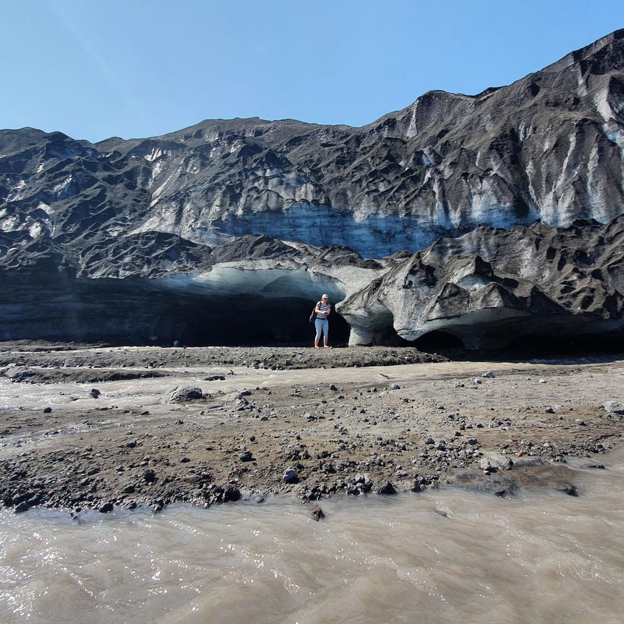
It is one of the most accessible glaciers in the park. Its tongues of ice descend between mountains covered in vegetation, feeding rivers and lagoons of cold, clear water. Without a doubt, a unique natural spectacle.
0
0
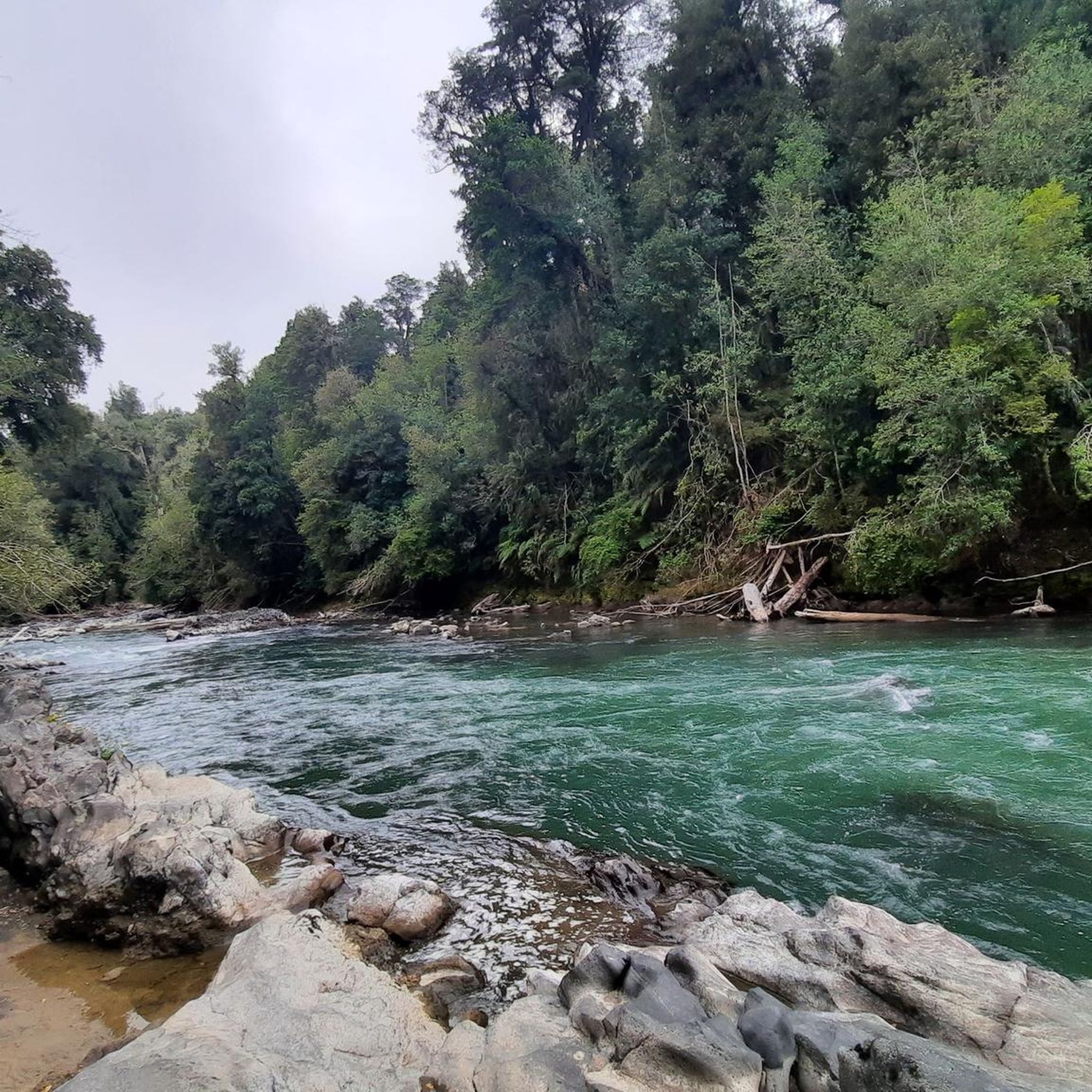
The path crosses the stream via a narrow wooden walkway that is raised slightly above the water. On either side, dense, green vegetation unfolds. The sound of flowing water accompanies every step, as the path continues among trees and moss.
0
0
Frequently Asked Questions
How many hiking trails are available in Los Ríos?
The Los Ríos region offers a diverse selection of hiking routes. On komoot, you can find 9 curated hiking tours, ranging from easy walks to challenging ascents. These routes have been explored by over 360 hikers.
Are there easy hiking trails suitable for families in Los Ríos?
Yes, Los Ríos has several easy trails perfect for families. For instance, the Mirador Los Cráteres Trail is an easy 3.9-mile (6.3 km) path that takes about 2 hours, leading through volcanic landscapes with views of craters. Another accessible option is the Sea Lions at Mercado Fluvial – Submarine O'Brien Naval Museum loop from Valdivia, an easy 3.5-mile (5.6 km) urban walk.
What kind of natural features can I expect to see on hikes in Los Ríos?
Los Ríos is characterized by lush, forested mountains, numerous rivers, and expansive lakes set against the Andes. You'll encounter impressive volcanoes like Villarrica and Quetrupillán, ancient Valdivian rainforests with unique tree species like araucaria and alerce, and glacial features such as the Pichillancahue Glacier. The region's name, 'The Rivers Region,' also hints at its extensive network of rivers and lakes like Lake Villarrica and Lake Ranco.
Are there any hikes that feature waterfalls in the Los Ríos region?
Yes, the region is home to several beautiful waterfalls. While specific hiking routes directly to them are not listed in the guide, you can explore areas like the Huilo-Huilo Waterfall, Salto del Indio, and Salto El Pimentón, which are notable natural monuments in Los Ríos.
Can I hike to volcanoes or glaciers in Los Ríos?
Absolutely. The region is famous for its volcanic and glacial landscapes. You can undertake challenging ascents like the Subida al Volcán Villarrica — Ida y vuelta, which offers expansive views from an active volcano. For glacier exploration, the Vuelta por el glaciar Pichillancahue – Parque Nacional Villarrica leads through volcanic terrain to the Pichillancahue Glacier itself.
Are there any circular hiking routes in Los Ríos?
Yes, there are several loop trails available. For a moderate challenge, consider the Tumba del Buey loop from Club Andino U. Austral. More challenging options include the Cerro Mayo loop from Pitreño or the shorter Cerro Mayo loop from Cerro Mayo.
What do other hikers say about the trails in Los Ríos?
The hiking routes in Los Ríos are highly rated by the komoot community, with an average score of 4.7 stars from over 50 reviews. Hikers often praise the diverse landscapes, from challenging volcanic ascents to serene forest paths, and the stunning natural beauty of the region.
What is the best time of year to go hiking in Los Ríos?
The Los Ríos region experiences a temperate climate. Generally, the warmer months from December to March (summer in the Southern Hemisphere) offer the most favorable conditions for hiking, with less rain and higher temperatures. However, some higher-altitude trails, especially those near volcanoes, might be accessible only during specific periods due to snow or volcanic activity.
Are there specific attractions or landmarks I can visit near the hiking trails?
Beyond the trails, Los Ríos offers numerous attractions. You can visit the Villarrica Crater, explore the ancient Araucaria Forest in Villarrica National Park, or enjoy the scenic Pullinque Lagoon Viewpoint and Picnic Area. The region also features charming settlements like Coñaripe and Puerto Fuy near its many lakes.
Are there any ancient forests or unique tree species to see while hiking?
Yes, Los Ríos is renowned for its pristine and ancient forests, often referred to as the 'Valdivian rainforest' or 'Bosque Valdiviano.' These forests feature unique and ancient tree species like the araucaria (monkey puzzle trees) and alerce trees, providing a truly unique and immersive hiking experience. The Araucaria Forest in Villarrica National Park is a prime example.
Are there any longer, more strenuous treks for experienced hikers?
For experienced hikers seeking a challenge, Los Ríos offers several difficult routes. The Subida al Volcán Villarrica — Ida y vuelta is a 5.7-mile (9.2 km) difficult ascent. Another demanding option is the Quetrupillán Volcano Trail, a 8.5-mile (13.7 km) difficult route. These trails often involve significant elevation gain and require good physical condition.
Most popular routes in Los Ríos
Most popular attractions in Los Ríos

Get inspired with the komoot mobile app


Didn’t find what you were looking for?
Check out more Hikes throughout Los Ríos below and find the perfect route in your destination.
Explore more
Browse the best Hikes in other regions.
