The best running trails in Araucanía
4.8
(8)
349
runners
27
runs
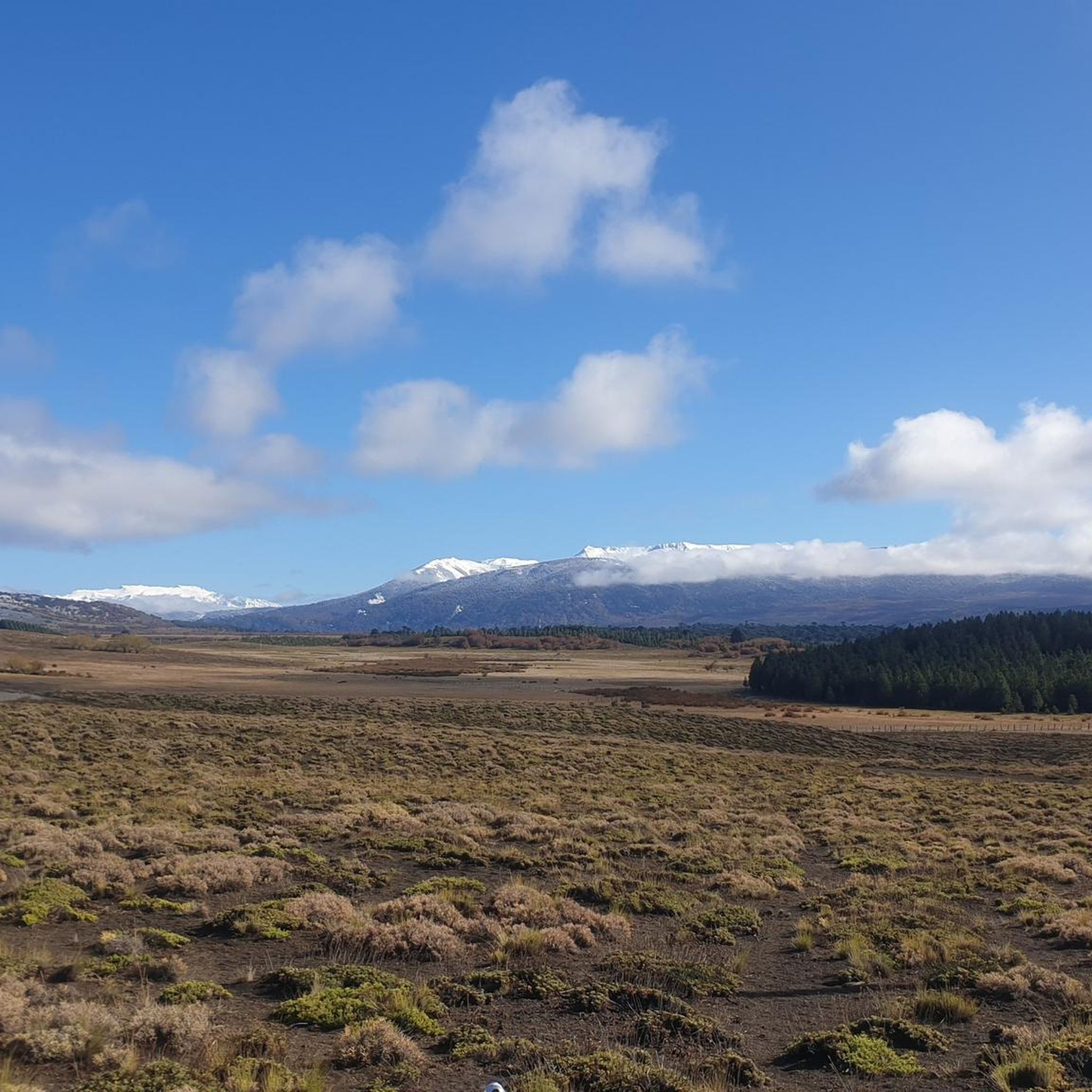
Jogging in Araucanía offers diverse landscapes, from mountainous terrain to ancient forests and pristine waterways. The region is characterized by the Andes Mountains, featuring volcanoes like Villarrica and Llaima, and extensive Araucaria forests. Numerous lakes such as Villarrica and Caburgua, alongside rivers, provide varied running environments. National parks like Villarrica National Park and Conguillío National Park offer extensive trail networks for runners.
Best jogging routes in Araucanía
- The most popular jogging route is Running loop from Pucón, a 5.7…
Last updated: July 9, 2026
39
runners
9.12km
00:58
40m
40m
Moderate run. Good fitness required. Mostly paved surfaces. Suitable for all skill levels.
32
runners
8.80km
00:56
80m
80m
Moderate run. Good fitness required. Mostly paved surfaces. Suitable for all skill levels.

Sign up for free
5.0
(1)
27
runners
18.0km
03:07
1,160m
1,160m
Hard run. Very good fitness required. Mostly paved surfaces. Suitable for all skill levels.
5.0
(1)
20
runners
14.8km
01:43
330m
330m
Hard run. Very good fitness required. Mostly paved surfaces. Suitable for all skill levels.
18
runners
6.14km
00:38
30m
30m
Moderate run. Good fitness required. Mostly paved surfaces. Suitable for all skill levels.
13
runners
Moderate run. Good fitness required. Mostly paved surfaces. Suitable for all skill levels.
16
runners
11.7km
01:45
550m
550m
Hard run. Very good fitness required. Mostly paved surfaces. Suitable for all skill levels.
6
runners
16.6km
02:37
800m
800m
Hard run. Very good fitness required. Mostly paved surfaces. Suitable for all skill levels.
12
runners
7.58km
00:48
60m
60m
Moderate run. Good fitness required. Mostly paved surfaces. Suitable for all skill levels.
13
runners
21.2km
03:03
980m
980m
Hard run. Very good fitness required. Mostly paved surfaces. Suitable for all skill levels.
Get access to more routes and recommendations from other explorers.
Sign up for free
Already have an account?
Our route recommendations are based on thousands of hikes, rides, and runs completed by other people on komoot.
Start today with a free account
Your next adventure awaits.
Login or Signup
Other adventures in Araucanía

Tips from the Community

The Los Cráteres viewpoint offers a direct view of a row of parasitic craters, between 5 and 10 meters in diameter, where lava flowed in both directions, leaving folds and hollows that are now interspersed with invasive vegetation. Some craters are heavily eroded, while others retain clear shapes, creating a striking geological landscape. It is essential to obtain tickets from pasesparques.cl before arriving, as the area is not always well-connected.
1
0
The Fillkungüe Lookout features a wooden platform offering panoramic views of the Zanjón Seco and Correntoso Valleys, as well as Lakes Caburgua and Huilipilún. From here, you can also see the Llaima Volcano and the Sollipulli snow-capped peaks, creating a sweeping and highly photogenic landscape. It's the perfect spot for a relaxing break; bring a light jacket as it can be a bit windy.
0
0
The view of the Villarrica volcano allows you to appreciate its perfectly symmetrical cone and, on clear days, the contrast between the snow-capped summit and the surrounding forests. It's a very photogenic spot and easy to spot along the route. It's advisable to bring sun protection and a light jacket, as the weather can change quickly in this area.
0
0

The lake is nestled amidst the vastness of the Andes Mountains. It's worth pausing for a moment to observe the reflection of the hills and feel the tranquility of the place.
0
0
Along the path, this crystal-clear lagoon appears among the vegetation, surrounded by shade where you can enjoy a rest along the way.
0
0
The park is famous for its forest and lagoon landscapes. It's ideal for hiking, enjoying nature, and seeing wildlife such as huemul deer and condors.
0
0

The path to the lagoon is currently closed.
0
0
There is a fee to enter the park (2025: 10,000 CLP). There is a large car park 200m behind the entrance.
0
0
Frequently Asked Questions
How many running routes are available in Araucanía?
Araucanía offers over 30 dedicated running routes, catering to various fitness levels. These include a mix of easy, moderate, and challenging trails through diverse landscapes.
Are there running routes suitable for beginners in Araucanía?
Yes, Araucanía has routes suitable for beginners. While many trails are moderate to difficult, you can find easier options, particularly along lakeside paths. For example, the Playa Pucará loop from Villarrica is a moderate 6.1 km route with minimal elevation gain, offering a scenic run along the lake.
What kind of terrain can I expect on running trails in Araucanía?
The region offers a wide variety of terrain. You can expect everything from relatively flat lakeside paths and urban loops to challenging climbs up volcanic slopes and trails through ancient Araucaria forests. Many routes feature varied surfaces, including dirt paths, gravel, and some paved sections.
Are there any family-friendly running trails in Araucanía?
Yes, there are options for families. Look for routes with lower elevation gain and shorter distances, often found around the lakes or within towns. While specific family-friendly routes are not detailed in this guide, the general advice is to seek out lakeside paths for a more accessible experience.
Can I bring my dog on the running trails in Araucanía?
Dog-friendly policies vary by location, especially within national parks. While some trails outside protected areas might allow dogs, it's crucial to check specific park regulations or local signage. Always keep your dog on a leash and ensure you clean up after them.
What are some notable natural attractions I might see while running in Araucanía?
Araucanía's running routes often pass through stunning natural landscapes. You might encounter ancient Araucaria forests, pristine lakes like Chico Lake or Toro Lagoon, and dramatic volcanic scenery. Some routes, like the El Salto del Claro loop from Pucón, can lead you near beautiful waterfalls such as Salto del Río Salto.
Are there circular running routes available in Araucanía?
Yes, many running routes in Araucanía are designed as loops, offering a convenient way to start and finish in the same location. Examples include the popular Running loop from Pucón, the Point salida al volcán loop from Pucón, and the more challenging Laguna Seca o Las Totoras – Laguna Bella loop from Huife-Pucon.
What is the best season for jogging in Araucanía?
The best time for jogging in Araucanía generally depends on the specific trails and your preference. Summer (December to February) offers warmer weather and longer daylight hours, ideal for exploring higher elevations. Spring and autumn provide milder temperatures and beautiful scenery, though some higher trails might still have snow or be muddy. Winter can be challenging due to snow and colder conditions, especially in mountainous areas.
Is public transport available to reach trailheads in Araucanía?
Public transport options to trailheads can be limited, especially for routes deep within national parks. However, for routes closer to towns like Pucón or Temuco, local buses or shared taxis (colectivos) might be available. It's advisable to research specific transport options for your chosen trailhead in advance.
Are there parking facilities at popular running trailheads?
Parking availability varies. In and around major towns like Pucón and Temuco, you'll likely find designated parking areas, though they might fill up quickly during peak seasons. For trails within national parks, there are usually visitor parking lots, but some remote trailheads might have limited or no official parking. Always check local information for your specific route.
What do other runners enjoy most about jogging in Araucanía?
The running community highly rates Araucanía, with an average score of 4.75 stars from numerous reviews. Runners often praise the region's diverse and striking natural landscapes, the breathtaking views of volcanoes and lakes, and the unique experience of running through ancient Araucaria forests. The variety of routes, from leisurely lakeside paths to challenging climbs, is also a significant draw.
Are there any challenging trail running routes in Araucanía?
Absolutely. Araucanía is known for its challenging terrain, particularly around the Andes Mountains and volcanoes. Routes like the Laguna Seca o Las Totoras – Laguna Bella loop from Huife-Pucon, with its significant elevation gain over 18 km, or the Cerro San Sebastián loop from Lake Tinquilco, which features over 1150 meters of ascent, offer demanding experiences for experienced trail runners.
Do I need permits for jogging on trails in Araucanía?
For trails within national parks (such as Villarrica National Park or Conguillío National Park), you will typically need to pay an entrance fee or obtain a permit. It's always best to check the official website of the specific national park or reserve you plan to visit for current requirements and fees, as regulations can change.
Most popular attractions in Araucanía

Get inspired with the komoot mobile app


Explore more
Browse the best Running Trails & Routes in other regions.
