The best road cycling routes around Grüsch
4.3
(389)
10,374
riders
48
rides
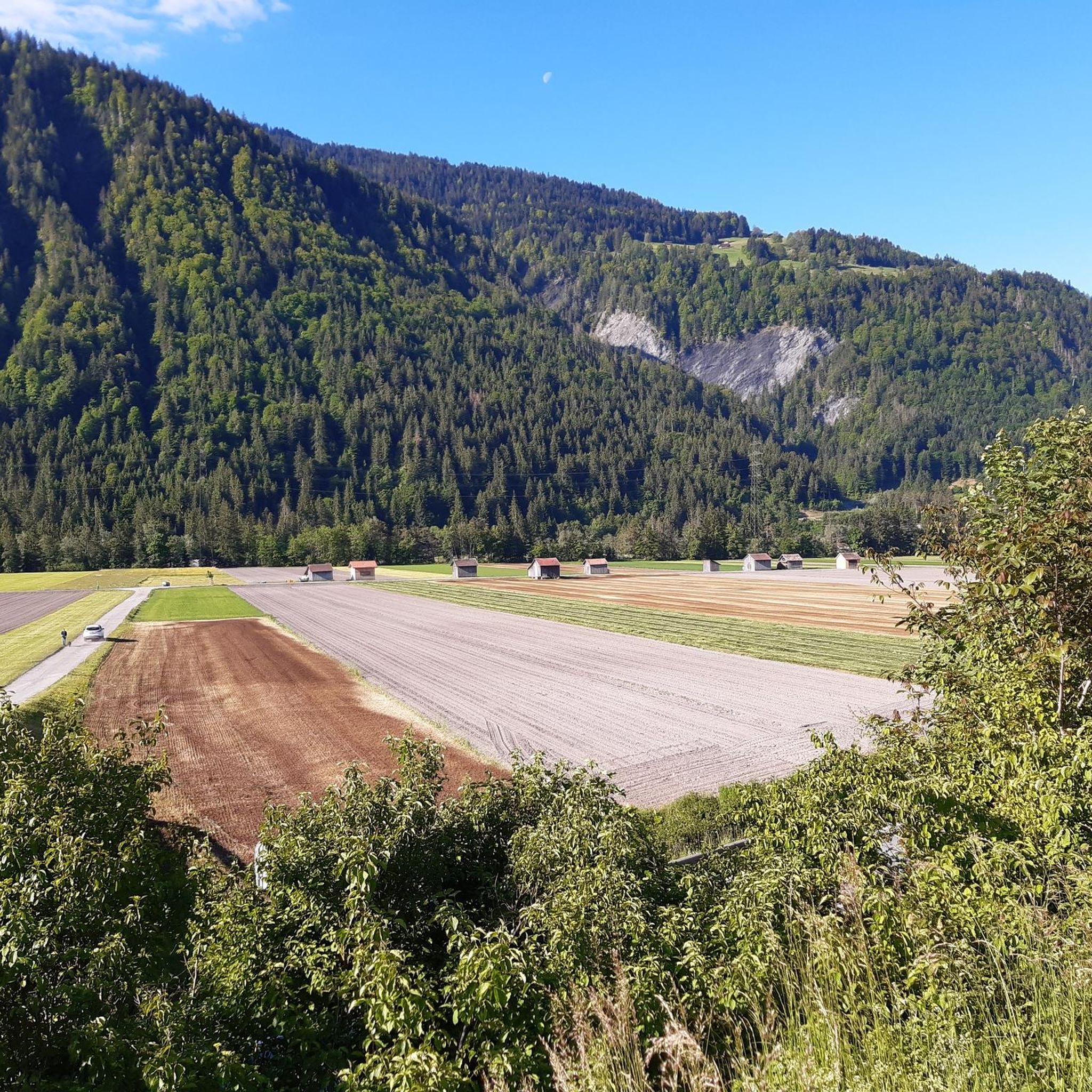
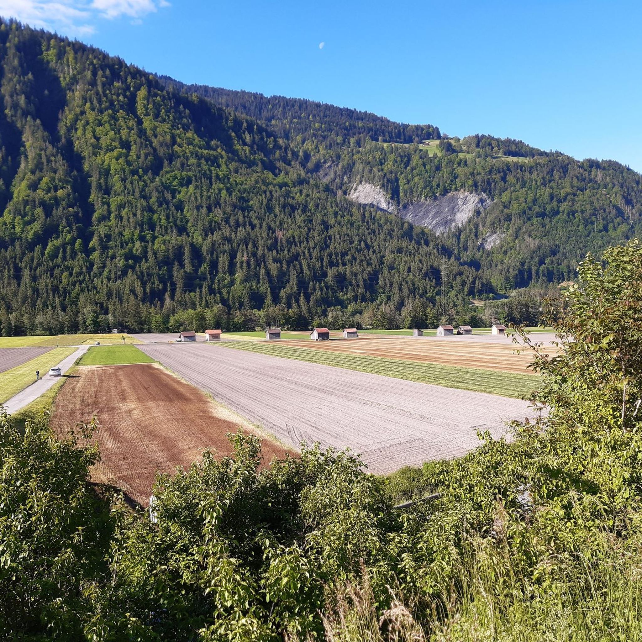
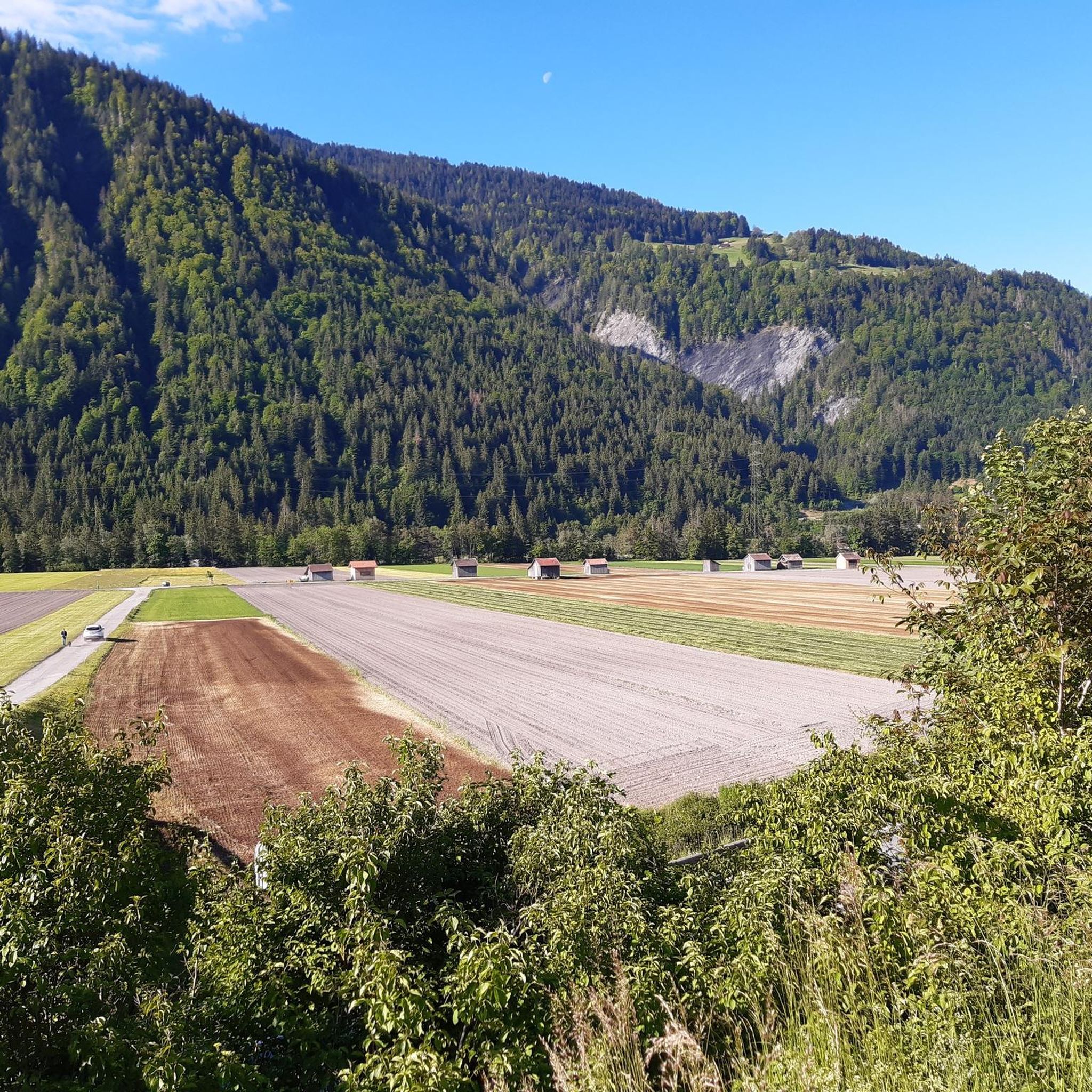
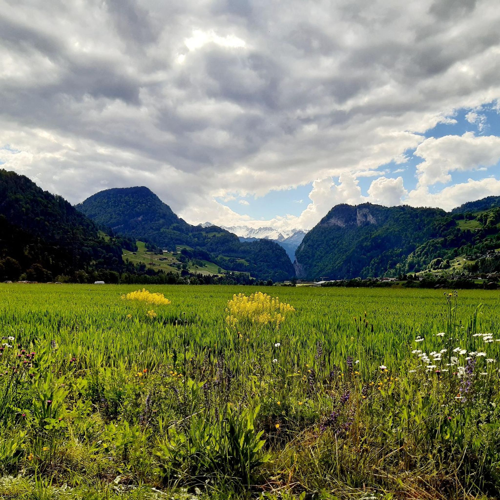
Road cycling routes around Grüsch, located in the canton of Graubünden, Switzerland, offer diverse landscapes for cyclists. The region is characterized by its mountainous terrain, featuring the majestic Alps, which provide opportunities for significant ascents and exhilarating descents. Cyclists can navigate scenic valleys, such as the Valzeiner Valley, and experience varied elevation profiles across the Prättigau region.
Best road cycling routes around Grüsch
- The most popular road cycling route is Lake Davos – Prättigau Cycle Path loop from Grüsch,…
Last updated: October 12, 2026
4.3
(11)
323
riders
68.2km
03:54
1,500m
1,500m
Hard road ride. Very good fitness required. Mostly well-paved surfaces and easy to ride.
4.7
(3)
118
riders
58.6km
03:11
1,060m
1,060m
Hard road ride. Very good fitness required. Some segments of this route may be unpaved and difficult to ride.

5.0
(1)
71
riders
45.9km
02:38
1,020m
1,020m
Hard road ride. Very good fitness required. Mostly well-paved surfaces and easy to ride.
26
riders
Moderate road ride. Great for any fitness level. Some segments of this route may be unpaved and difficult to ride.
25
riders
35.5km
02:39
1,420m
1,420m
Hard road ride. Very good fitness required. Mostly well-paved surfaces and easy to ride.
Get access to more routes and recommendations from other explorers.
Already have an account?
Our route recommendations are based on thousands of hikes, rides, and runs completed by other people on komoot.
Start today with a free account
Your next adventure awaits.
Tips from the Community


Bad Ragaz is a beautiful, small town from which you can hike into the Tamina Gorge. https://de.wikipedia.org/wiki/Bad_Ragaz
0
0

Nestled in the gentle slopes of the Rätikon, at around 1,400 meters above sea level, lies the picturesque village of St. Antönien. Its name derives from the parish church built in the center in the 14th century, which was dedicated to Saint Anthony. To this day, dairy farming and livestock breeding shape the cultural landscape around the Walser community, which was settled around the 13th century. Since June 2021, St. Antönien has been the first Swiss locality to bear the title "Bergsteigerdorf" (mountaineering village) – an award given by the Swiss Alpine Club together with the municipality. This recognizes communities that focus on nature-oriented mountain tourism instead of mass crowds and commit to sustainably preserving nature, culture, and traditions. Numerous tours lead from here into the surrounding mountains all year round. In addition, there are a variety of excellent refreshment and accommodation options in the municipality.
1
0

Wonderful holiday resort, pleasantly away from the hustle and bustle!
1
0
Charming village, I'll definitely be back!
0
0

Beautiful village with two golf courses, an outdoor swimming pool, a campsite, and various restaurants and hotels. Plenty of culture and health.
0
0

There's almost no traffic on the way up from Klosters to the Selfranga junction. From Selfranga to the top of the climb, the traffic is horrendous. Unfortunately, for road cyclists, there's no other way to get to Davos from Klosters. It's about time they built a bike path to Davos!
4
0
The castle of Castels or Putzerburg is the ruins of a hilltop castle near the village of Putz in Prättigau in the canton of Graubünden.
0
0
Frequently Asked Questions
How many road cycling routes are available around Grüsch?
Grüsch offers a wide selection of road cycling routes, with nearly 50 distinct tours available. These routes cater to various skill levels, from easy rides to challenging alpine ascents, ensuring there's something for every cyclist.
What kind of terrain can I expect on road cycling routes in Grüsch?
The terrain around Grüsch is predominantly mountainous, characterized by the majestic Alps. Cyclists can expect significant elevation gains and thrilling descents, along with scenic stretches through valleys like the Valzeiner Valley. The diverse landscape ensures visually stimulating rides.
Are there any easy road cycling routes suitable for beginners or families in Grüsch?
Yes, Grüsch has several easier road cycling options. For instance, the Drinking Water Fountain Grüsch – Reformed Church of Grüsch loop from Seewis-Pardisla is an easy route, offering a gentler experience. Overall, there are 7 easy routes available, making it possible to find suitable options for less experienced riders or families.
What are some notable landmarks or scenic points along the road cycling routes?
Many routes offer fascinating panoramic views of the surrounding mountains and valleys. You might encounter natural features like the Tamina Gorge or the Kesselfall / Waterfall near Brand. The Chlus Gorge – Mapraggsee loop from Grüsch specifically traverses a notable gorge and passes a lake.
When is the best time of year for road cycling in Grüsch?
The warmer months are ideal for road cycling in Grüsch. May and July are particularly popular, offering favorable weather conditions to enjoy the mountainous terrain and scenic views. It's always a good idea to check local weather forecasts before heading out.
Are there circular road cycling routes available in Grüsch?
Yes, many of the road cycling routes around Grüsch are designed as loops, allowing you to start and finish in the same location. Examples include the popular Lake Davos – Prättigau Cycle Path loop from Grüsch and the Reformed Church of Grüsch – Climb from Schiers to Putz loop from Grüsch.
What do other cyclists say about road cycling in Grüsch?
The komoot community highly rates road cycling in Grüsch, with an average score of 4.3 stars from over 200 reviews. Cyclists often praise the diverse landscapes, challenging ascents, and breathtaking panoramic views that make each ride unique and rewarding.
Is it possible to reach Grüsch with public transport and bring a bike?
Grüsch is accessible by public transport, and generally, bikes can be transported on Swiss trains and some buses, often with a special ticket or during off-peak hours. It's advisable to check the specific transport provider's regulations and timetables for bike carriage before your journey.
Are there any specific permits required for road cycling in Grüsch?
No specific permits are generally required for road cycling on public roads and designated cycling paths in the Grüsch region. However, always respect local traffic laws and private property signs.
Where can I find parking for road cycling in Grüsch?
Grüsch, being a hub for outdoor activities, typically offers various parking options within the village or near trailheads. Look for designated public parking areas, which are usually well-marked. Some accommodations might also offer parking for guests.
Are there any challenging road cycling routes for experienced riders?
Absolutely. Grüsch is known for its challenging routes with significant elevation gains, perfect for experienced road cyclists. The Lake Davos – Prättigau Cycle Path loop from Grüsch, for example, is a difficult route featuring substantial elevation gain through alpine landscapes. There are 13 difficult routes in total.
Can I find cafes or places to stop for refreshments along the routes?
While specific cafes on every route are not detailed, the region is well-equipped for tourists. Grüsch and surrounding villages offer various cafes, restaurants, and accommodation options where cyclists can stop for refreshments and breaks. Planning your route with potential stops in mind is recommended.
Most popular attractions around Grüsch

Get inspired with the komoot mobile app


Explore more
Browse the best Road cycling routes in other regions.
