The best road cycling routes around Grünebach
4.5
(475)
4,518
riders
193
rides
Road cycling routes around Grünebach are situated within the hilly landscape of the Westerwald region in Rheinland-Pfalz, Germany. The area features an average elevation of 289 meters, with terrain ranging from 191 to 439 meters, providing varied gradients for road cyclists. The broader region offers a network of mostly well-paved roads that traverse rolling hills, wide meadows, and forests. This topography supports both challenging climbs and enjoyable descents, making it suitable for diverse road cycling experiences.
Best road cycling routes…
Last updated: July 4, 2026
4.9
(29)
274
riders
54.2km
02:23
430m
430m
Moderate road ride. Good fitness required. Mostly well-paved surfaces and easy to ride.
4.5
(4)
157
riders
52.1km
02:15
430m
430m
Moderate road ride. Good fitness required. Some segments of this route may be unpaved and difficult to ride.

Sign up for free
3.7
(3)
54
riders
48.0km
02:14
510m
510m
Moderate road ride. Good fitness required. Mostly well-paved surfaces and easy to ride.
5.0
(1)
54
riders
57.4km
02:33
550m
550m
Moderate road ride. Good fitness required. Mostly well-paved surfaces and easy to ride.
46
riders
27.7km
01:21
290m
290m
Easy road ride. Great for any fitness level. Mostly well-paved surfaces and easy to ride.
Get access to more routes and recommendations from other explorers.
Sign up for free
Already have an account?
Our route recommendations are based on thousands of hikes, rides, and runs completed by other people on komoot.
Start today with a free account
Your next adventure awaits.
Login or Signup
Tips from the Community

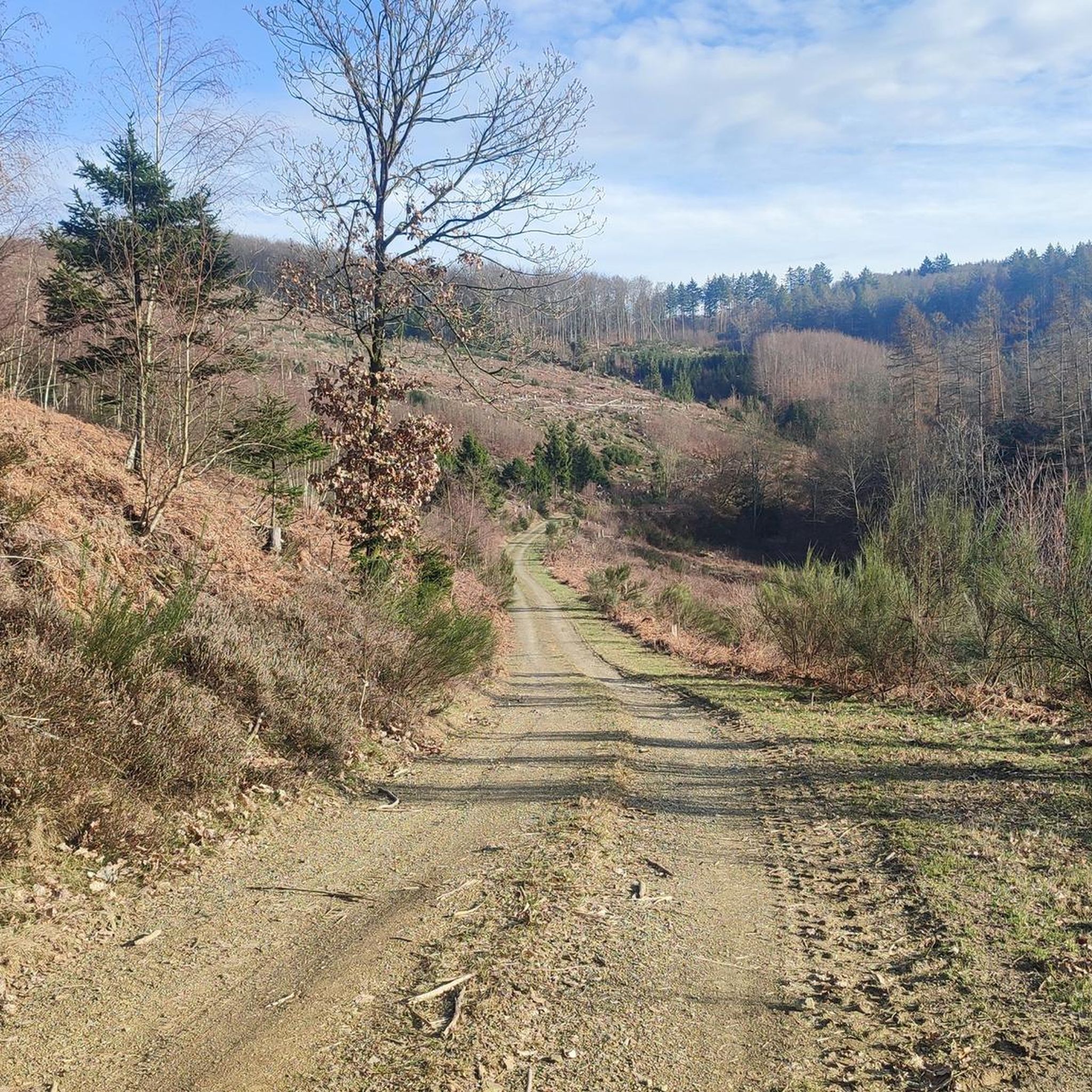
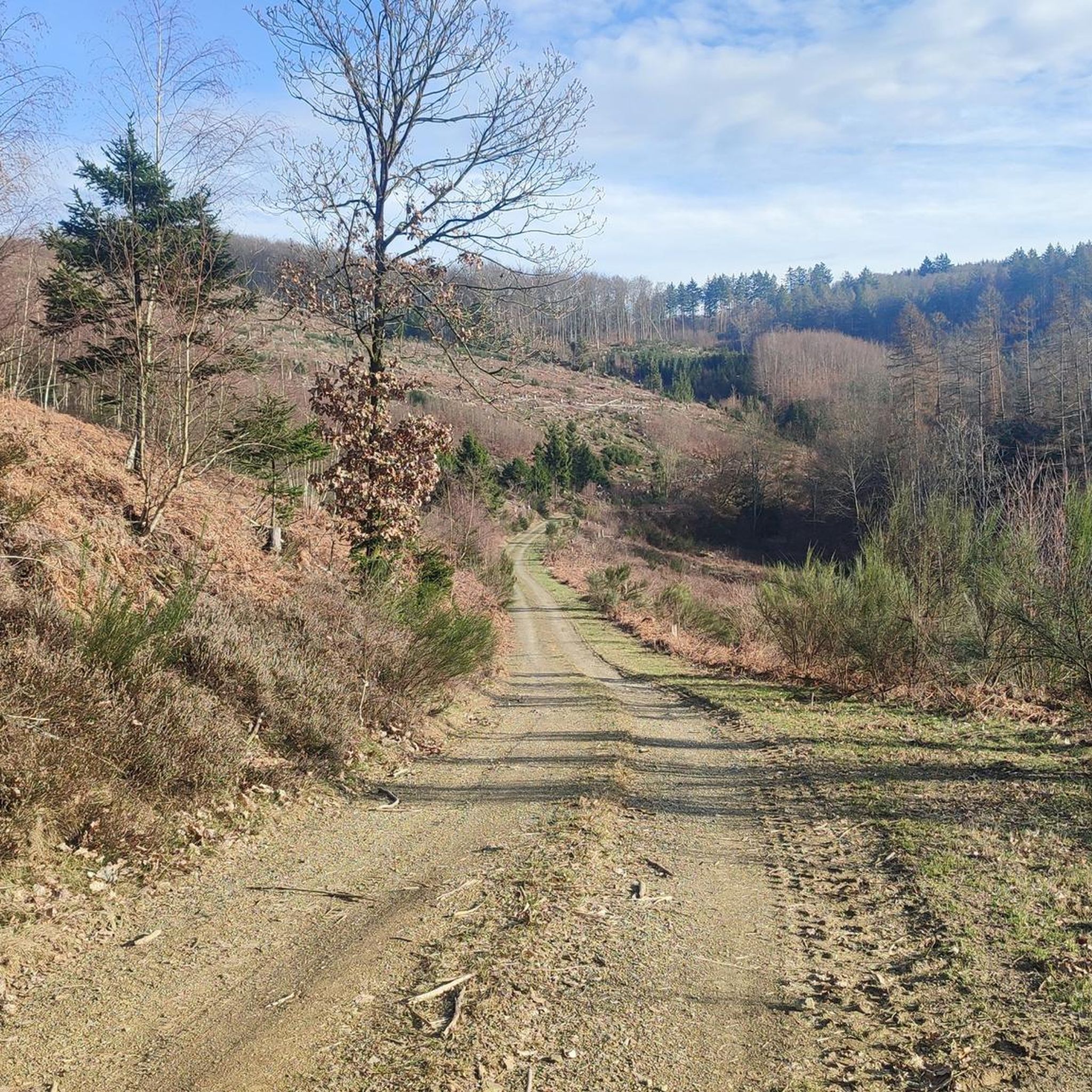
Most of the asphalt is in very bad condition with very deep potholes. Therefore, I unfortunately cannot recommend this road for road cycling. The scenery is beautiful, but it is very dangerous due to the many potholes!
0
0

Pure panorama 😉 recommended
0
0

One of many breweries in and around Siegerland.
0
0
Tip-top 👊 great surroundings… great view 👁️👁️ recommended
0
0

Erzquell Pils and Zunft Kölsch are produced here. Tours can also be booked.
0
0
Great relic from the early 60s.
0
0
Relic from the mining era.
0
0
Cycle path over the Sieg, due to lack of other alternatives.
0
0
Frequently Asked Questions
What kind of terrain can I expect on road cycling routes around Grünebach?
Road cycling routes around Grünebach are characterized by the hilly landscape of the Westerwald region. You'll encounter varied gradients, with elevations ranging from 191 to 439 meters. This provides opportunities for both challenging climbs and enjoyable descents on mostly well-paved roads that traverse rolling hills, wide meadows, and idyllic forests.
Are there road cycling routes for all skill levels in Grünebach?
Yes, the Grünebach area offers a diverse range of road cycling routes suitable for various skill levels. Out of over 200 available routes, you'll find options categorized as easy, moderate, and difficult, catering to different abilities and preferences.
What natural landmarks or viewpoints can I discover while road cycling near Grünebach?
While road cycling near Grünebach, you can explore several impressive natural landmarks and viewpoints. Consider visiting the striking Druid's Stone, a 20-meter-high basalt cone. For panoramic views, the Otto Tower on the Kahlenberg offers expansive vistas of the Siegerland and, on clear days, even the Siebengebirge mountains.
Are there any historical or cultural attractions accessible by road bike around Grünebach?
Yes, you can incorporate historical and cultural sites into your road cycling tours. The area around Hohenseelbachskopf, for instance, was historically a significant Celtic settlement. You might also pass by the Wooden Knight Statue on the Auenlandweg, a unique man-made monument.
Is parking available for road cyclists in Grünebach?
While specific parking facilities for cyclists are not detailed, Grünebach, as part of the Westerwald region, generally offers parking options in villages and near trailheads. It's advisable to check local signage upon arrival for designated parking areas.
Can I reach Grünebach by public transport with my road bike?
The Westerwald region has public transport options, but carrying bikes on trains or buses can vary. It's recommended to check the specific policies of local train and bus services regarding bicycle transport before planning your journey to Grünebach.
When is the best time of year for road cycling in Grünebach?
The best time for road cycling in Grünebach is typically during the warmer months, from spring through autumn. This period offers pleasant temperatures and allows you to fully enjoy the scenic landscapes of rolling hills, wide meadows, and forests.
Are there family-friendly road cycling routes around Grünebach?
While the region offers diverse terrain, many routes include significant elevation changes. For family-friendly options, look for routes explicitly marked as 'easy' or those that follow river valleys, which tend to have gentler gradients. Always check the route profile for elevation gain before setting out with children.
What do other road cyclists enjoy the most about road cycling in Grünebach?
The road cycling experience around Grünebach is highly rated by the komoot community, with an average score of 4.5 stars from over 450 reviews. Cyclists often praise the varied terrain, the well-paved roads, and the beautiful scenic landscapes of the Westerwald, which provide both challenging climbs and enjoyable descents.
Are there circular road cycling routes available near Grünebach?
Yes, the Westerwald region, including the area around Grünebach, features numerous circular tours. For example, the Freusburg Mill – View of Freusburg Castle loop from Betzdorf (Sieg) is a popular moderate circular route offering scenic views.
Can I find places to eat or stay overnight near the road cycling routes?
Yes, the region offers various options for refreshments and accommodation. You might find places like the Forest restaurant at Hohenseelbachskopf or the Zum Steimel Inn. Many villages along the routes will have cafes, pubs, and guesthouses.
What is a challenging road cycling route I can try near Grünebach?
For experienced road cyclists seeking a challenge, the Pirzenthal Serpentines – Dattenfeld Weir on the Sieg loop from Alsdorf (Westerwald) is a difficult 110.5 km (68.7 miles) trail with significant elevation gain, leading through the Pirzenthal Serpentines and along the Sieg river.
Are there any moderate-difficulty road cycling routes that offer good views?
Certainly. A popular moderate route is the View of Freusburg Castle – Freusburg Mill loop from Königsstollen. This 52.1 km (32.4 miles) path provides scenic views of Freusburg Castle and the surrounding river valleys, making for an enjoyable ride.
Most popular attractions around Grünebach

Get inspired with the komoot mobile app


Explore more
Browse the best Road cycling routes in other regions.
