The best MTB trails around Großrückerswalde
4.7
(1011)
2,961
riders
14
rides
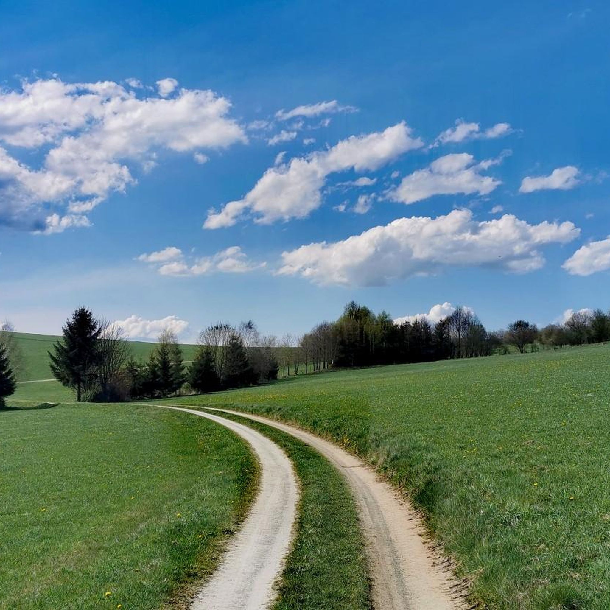
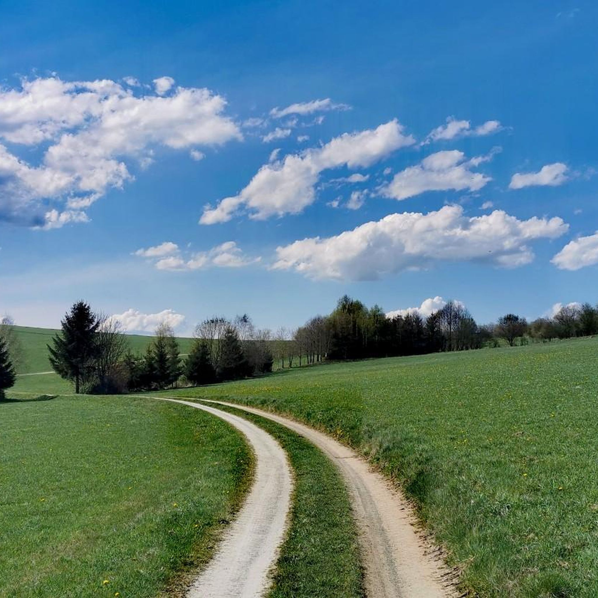
Mountain biking around Großrückerswalde is situated in the Ore Mountains region, characterized by rolling hills, dense forests, and open valleys. The terrain offers a mix of ascents and descents, with routes often following natural contours and forest paths. Elevations range significantly, providing varied challenges for mountain bikers. The region's diverse trails cater to all skill levels, from beginners to experienced riders.
Best mountain bike trails around Großrückerswalde
- The most popular mountain bike trail is Pond on Hangweg – View of…
Last updated: June 26, 2026
4.8
(96)
148
riders
42.2km
03:33
600m
600m
Moderate mountain bike ride. Good fitness required. Advanced riding skills necessary.
4.1
(7)
25
riders
22.9km
01:37
350m
350m
Moderate mountain bike ride. Good fitness required. Advanced riding skills necessary.

Sign up for free
5.0
(10)
42
riders
21.0km
01:16
150m
150m
Easy mountain bike ride. Great for any fitness level. Suitable for all skill levels.
5.0
(2)
20
riders
59.1km
04:13
810m
810m
Moderate mountain bike ride. Good fitness required. Suitable for all skill levels.
5.0
(10)
14
riders
26.4km
01:41
230m
230m
Moderate mountain bike ride. Great for any fitness level. Advanced riding skills necessary.
Get access to more routes and recommendations from other explorers.
Sign up for free
Already have an account?
Our route recommendations are based on thousands of hikes, rides, and runs completed by other people on komoot.
Start today with a free account
Your next adventure awaits.
Login or Signup
Tips from the Community

Karl Stülpner from the Ore Mountains is a folk hero due to his adventures as a poacher. He died in Großolbersdorf in 1841!
1
0

The valley is easy to cycle through and very romantic.
0
0

Parking, ideal as a starting point for activities in the Pressnitz Valley
0
1

The memorial stone is in honor of the foresters who planted over 40,000 hectares of forest.
1
0

what a beautiful landscape
0
0

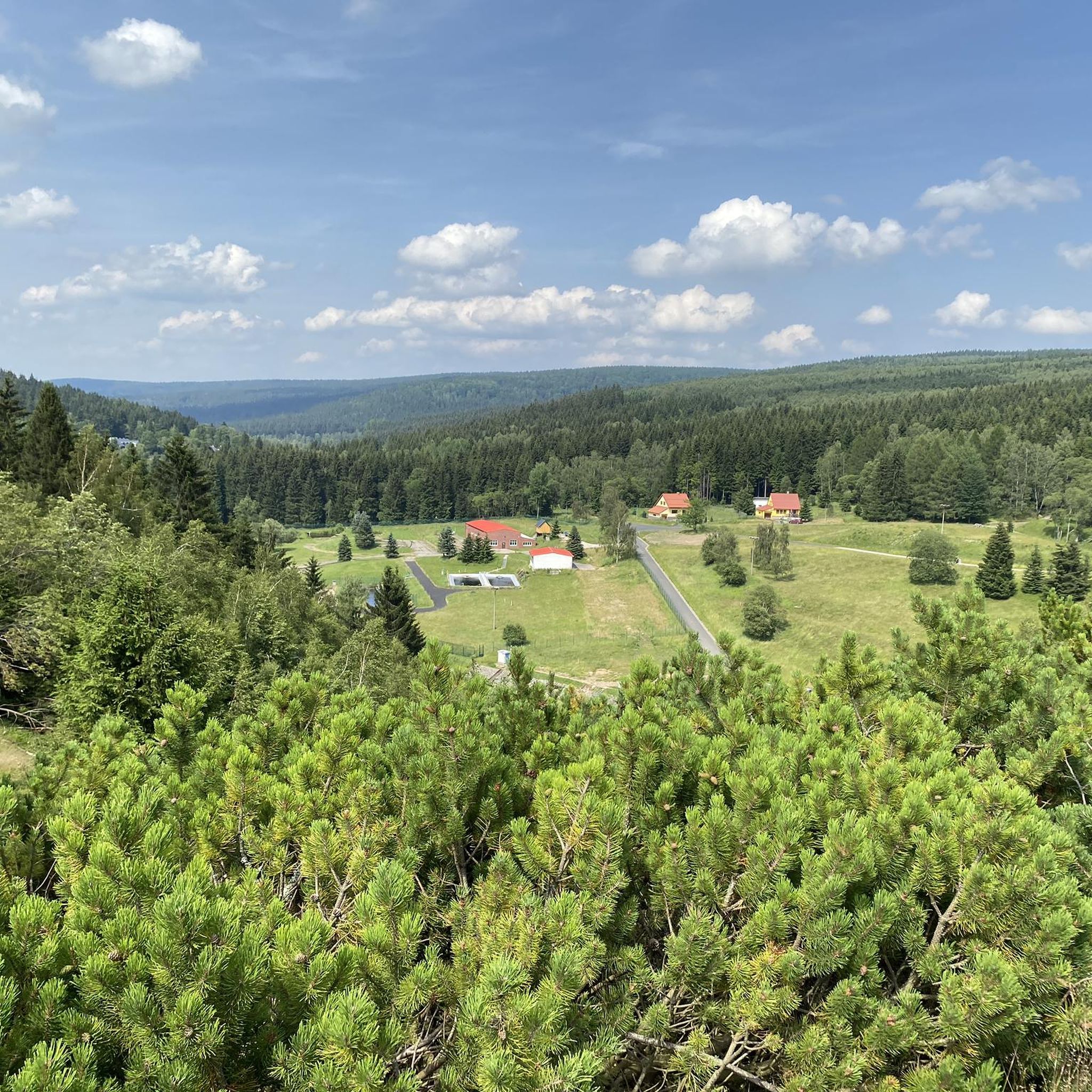
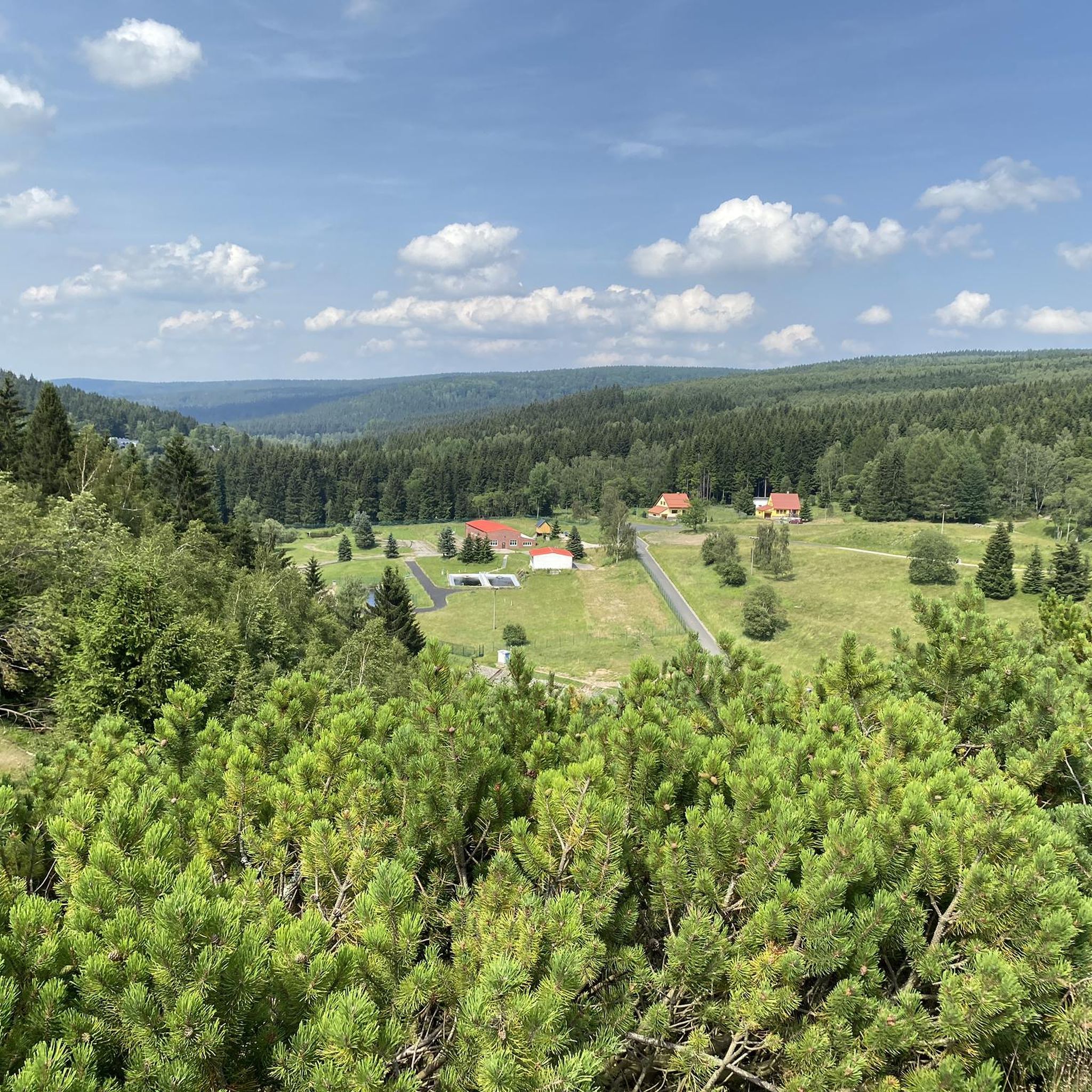
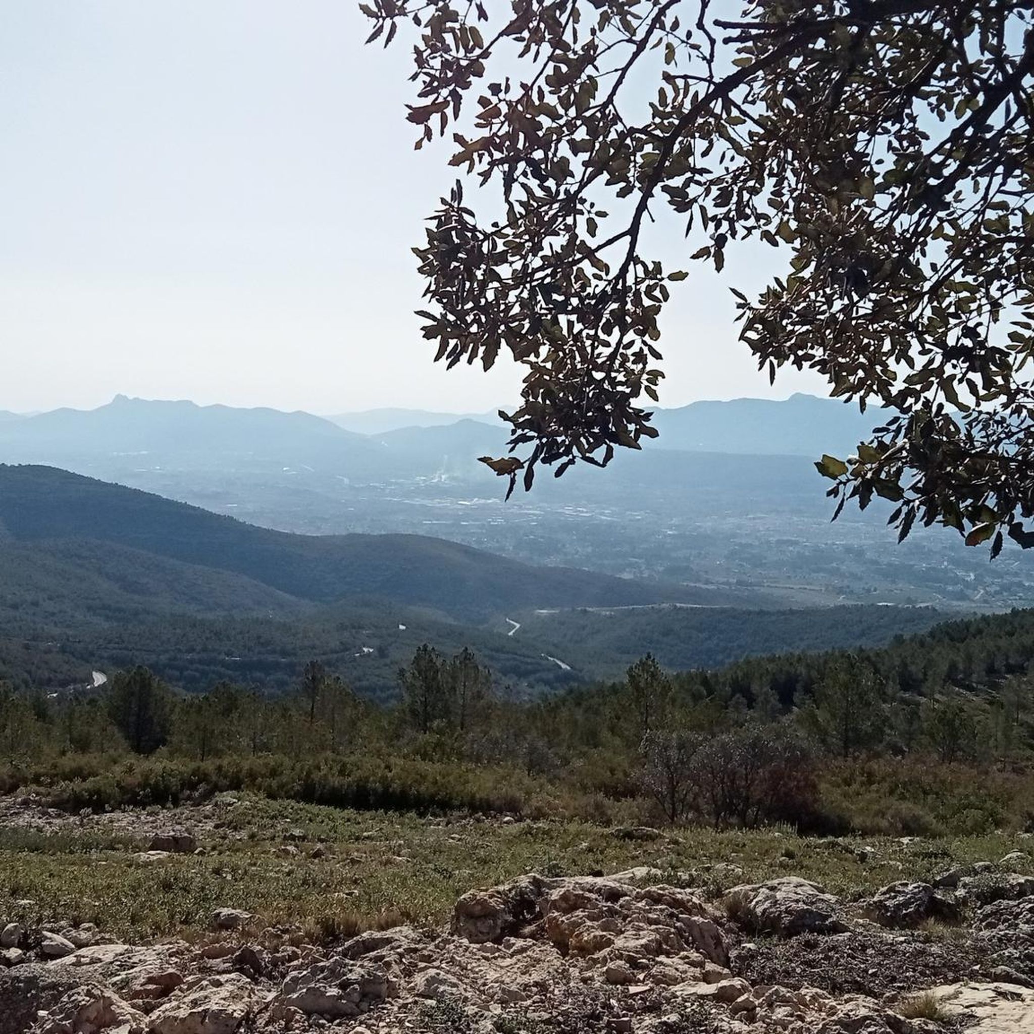
Panoramic view over the Ore Mountains!
0
0

The Devil's Wall is one of the most striking and impressive rock formations in the Upper Schwarzwasser Valley of the Ore Mountains, located in the Schwarzwassertal Nature Reserve south of Pobershau in Saxony. It is a popular destination for hikers and nature photographers. Geology and Formation The Devil's Wall is an excellent example of the geological composition of the Ore Mountains. It consists primarily of gneiss and migmatitic gneiss, formed millions of years ago by tectonic processes and metamorphism. The distinctive shape of the Devil's Wall is the result of erosion by the Schwarze Pockau River, which cut deep into the rock over long periods of time, thus exposing this steep, wall-like rock face. The varying weathering resistance of the rock layers also contributes to the rugged structure. Characteristics and Appearance The Devil's Wall presents itself as a long, steeply rising rock face that stretches along the river. Its name probably derives from its imposing, sometimes almost threatening appearance, reminiscent of a wall erected by supernatural forces. It is covered in mosses and lichens, giving it a mysterious atmosphere, especially in damp or foggy weather. Significance and Accessibility The Devil's Wall is not only a geological highlight, but also an important element of the natural beauty of the Schwarzwassertal Valley. It is a frequent subject in landscape photography in the region. Hikers can reach the Devil's Wall via various well-marked hiking trails in the Schwarzwassertal Nature Reserve. It is often visited as part of a longer tour through the valley, which also includes other rock formations such as the Nonnenfelsen (Nunn's Rock), the Vogeltoffelfelsen (Vogeltoffel Rock), and the Grüner Graben (Green Ditch). The path along the river continually offers new perspectives on this imposing rock face. Access to the rock formations themselves may be restricted for nature conservation and safety reasons, but the view from the hiking trail is always impressive. The Devil's Wall is a must-see for anyone who wants to experience the wild and pristine nature of the Ore Mountains.
13
0

Frequently Asked Questions
How many mountain bike trails are available in Großrückerswalde?
There are over a dozen mountain bike trails around Großrückerswalde, catering to various skill levels. The region features 3 easy, 12 moderate, and 1 difficult route.
Are there any easy mountain bike trails suitable for beginners or families in Großrückerswalde?
Yes, Großrückerswalde offers 3 easy mountain bike trails, perfect for beginners or families looking for a less strenuous ride. These routes typically feature gentler terrain and shorter distances.
What is the typical length and duration of mountain bike trails in Großrückerswalde?
The mountain bike trails in Großrückerswalde vary significantly in length and duration. For example, the View of the Ore Mountains – Grossrückerswalde Airfield loop from Großrückerswalde is about 25.4 km (15.8 miles) and takes around 1 hour 47 minutes, while the Hahn Bridge – Am Wildbach Rest Stop loop from Großrückerswalde covers 59.1 km (36.7 miles) and typically takes over 4 hours.
Are there challenging mountain bike routes for advanced riders in Großrückerswalde?
Yes, for advanced riders seeking a challenge, there is 1 difficult mountain bike route available in Großrückerswalde. These trails often feature more significant elevation changes and technical sections.
What is the best time of year for mountain biking in Großrückerswalde?
The best time for mountain biking in Großrückerswalde is generally from spring through autumn (May to October), when the weather is mild and the trails are dry. Summer offers lush green scenery, while autumn provides vibrant foliage. Winter riding is possible but may require specialized equipment due to snow and ice.
Are there mountain bike trails with scenic viewpoints in Großrückerswalde?
Many trails in Großrückerswalde offer scenic views, particularly towards the Pöhlberg. The Pond on Hangweg – View of Pöhlberg loop from Großrückerswalde is a great option for enjoying expansive vistas of the surrounding Ore Mountains landscape.
Are there loop mountain bike trails in Großrückerswalde?
Yes, most mountain bike trails in Großrückerswalde are designed as loops, allowing you to start and finish at the same point. Examples include the Am Wildbach Rest Stop – Preßnitztalbahn loop from Großrückerswalde and the View of the Stone Bridge – View of Pöhlberg loop from Großrückerswalde.
What do other mountain bikers enjoy most about the trails in Großrückerswalde?
The mountain bike trails in Großrückerswalde are highly rated by the komoot community, with an average score of 4.7 stars from nearly 1000 reviews. Riders often praise the varied terrain, the beautiful forested hills, and the scenic viewpoints that characterize the region.
What interesting natural attractions can I see near the mountain bike trails?
Beyond the trails, you can explore several natural attractions. The Greifensteine Observation Rock offers stunning views, and the Schwarzwassertal (Black Water Valley) provides a picturesque gorge experience. You might also encounter the Katzenstein Lookout.
Are there any historical sites or landmarks to explore while mountain biking in Großrückerswalde?
Yes, the region has a rich mining history. You can find historical sites like the Garisch-Stolln Mine Entrance or the Greifensteinstollen. The Röhrgrabenweg – Historic Mining Canal Trail is also a notable landmark that highlights the area's past.
Are there any caves to visit near the mountain bike routes?
Yes, the area around Großrückerswalde features several caves. You could visit the Stülpner Cave or the Geldkeller (Money Cellar) at the Greifensteine, offering a glimpse into the region's geological formations.
Most popular routes around Großrückerswalde
Most popular attractions around Großrückerswalde

Get inspired with the komoot mobile app


Explore more
Browse the best MTB trails in other regions.
